WEATHERING
|
MECHANICAL DISINTEGRATION
|
| 1.1 |
Exfoliation of Edwards Limestone under semi-arid conditions. Chalk draw, Brewster Co., Tex. |
| 1.2 |
“The Buttress” Type of outcrop produced by exfoliatin of Edwards Limest. Chalk Draw, Brewster Co., Tex. |
| 1.3 |
Buttress outcrops, exfoliation of Edwards Limest. under semi-arid conditions Chalk Draw, Brewster Co., Tex |
| 1.4 |
Weathering of Edwards Limest. in bed of streamlet to form water basins, a usual form in semi-arid regions. Brewster Co., Tex. |
| 1.5 |
Disintegration of basalt by exfoliation and splitting 80 Mi. S. Alpine. Semi-arid conditions. Brewster Co., Tex. |
| 1.6 |
Disintegration of basalt under semi-arid conditions by splitting (corners) and exfoliation, Brewster Co., Tex. |
| 1.7 |
Residual boulders of basalt formed by splitting and exfoliation under semi-arid conditions. Brewster Co., Tex. |
| 1.8 |
Mechanical disintegration of limestone bed, directed by joints; 1st of series of three. Semi-arid conditions. Brewster Co. Tex. |
| 1.9 |
Mechanical disintegration (bedding is nearly horizontal) of limestone under semi-arid conditions. 2nd of three in series. Brewster Co. Tex. |
| 1.10 |
Mechanical disintegration of limestone under semi-arid conditions. Bedding is nearly horizontal. 3rd of three in series. Brewster Co., tex. |
| 1.11 |
Granite boulders from disintegration of massive granite, Sierra Nevada, west of Big Pine, Inyo Co., Cal. |
| 1.12 |
Basalt showing chemical as well as mechanical disintegration. Brewster Co., Tex. |
| 1.13 |
Weathering of trap rock, Nile Cataracts. |
| 1.14 |
Weathering of quartzite, California. |
| 1.15 |
Castle Rock, between Woods Bay and Lynton, Devonshire, Englad, Rock weathering on cliff. |
| 1.16 |
Talus slopes, Mt. Sneffels, Colorado. |
| 1.17 |
Talus slope at timber line, Pikes Peak Trail. |
| 1.18 |
Talus material, Mt. of the Holy Cross, Colorado. |
| 1.19 |
Shattered granite crest of the Sierra Nevada, 6 miles SE of Tower Peak, Tolumne Co., Cal. |
| 1.20 |
Arid climate weathering, Triassic Sandstone, Garden of the Gods, Colorado. |
| 1.21 |
Dry climate weathering, Monument Park, Colorado. |
| 1.22 |
Dry climate weathering, Tower of Babel, Garden of the Gods, Colorado. |
| 1.23 |
Eagle rock, Garden of the Gods, Colorado. |
| 1.24 |
Cathedral Spires, Garden of the Gods, Colorado. |
| 1.25 |
Balanced Rock, Garden of the Gods, Colorado. |
| 1.26 |
Garden of the Gods, Colorado. |
| 1.27 |
Weathering of Kingsbury Conglom., east slope Big Horn Mts., near Buffalo, Wyo. |
| 1.28 |
Talus Cone, south fork of Stinking-water, Wyoming. |
| 1.29 |
Dry climate weathering, Cathedral Spires, Garden of the Gods, Colorado. |
| 1.30 |
South dome, Yosemite Valley, California. |
| 1.31 |
South dome, Yosemite Valley, California. |
| 1.32 |
El Capitan, Yosemite Valley, California. |
| 1.33 |
El Capitan, looking SE Yosemite Valley, Cal. |
| 1.34 |
Nevada Falls, Yosemite Valley, Cal. |
| 1.35 |
The Sentinel, Yosemite Valley, Cal. |
| 1.36 |
Cathedral Spires, Yosemite Valley, Cal. |
| 1.37 |
Cathedral Spires, Yosemite Valley, Cal. |
| 1.38 |
Perched boulder, near Jura Lake, Mono Valley, California. |
| 1.-.39 |
Rainbow Natural Bridge, Kayenta, Ariz. Formed by mechanical weathering in Triassic sandstone. |
| 1.-.40 |
Rainbow Natural Bridge, Kayenta, Ariz. Formed by mechanical weathering in Triassic sandstone. |
| 1.-.41 |
Rainbow Natural Bridge, Kayenta, Ariz. Formed by mechanical weathering in Triassic sandstone. |
BOX-CANYON FORMATION, KENTUCKY
|
| 1.B.1 |
Rock house at head of box-canyon. Exfoliation at base of Corbin sandstone more rapid than weathering of underlying shale, Torrent, Wolfe Co., Ky. |
| 1.B.2 |
Rock house at head of box-canyon. Exfoliation at base of Corbin standstone; shows residual sandstone breccia resting on projecting bench of underlying shale. Torrent, Wolfe Co., Ky. |
| 1.B.3 |
Rock house. Base of Corbin sandstone (Pennsylvanian) weathering more rapidly than underlying shale. Torrent, Wolfe Co., Ky |
| 1.B.4 |
Rock house at head of box-canyon. Exfoliation forming residual sandstone breccia at base of Corbin sandstone on projecting shelf of underlying shale. Torrent, Wolfe Co., Ky. |
| 1.B.5 |
Exfoliation forming residual sandstone breccia at base of Corbin sandstone on projecting shelf of underlying shale, groundwater action; unsupported sandstone blocks falling from above the weathered zone. torrent, Wolfe Co., Ky. |
| 1.B.6 |
Ground-water action. Residual breccias formed by exfoliation at base of Corbin sandstone. Torrent, Wolfe Co., Ky. |
| 1.B.7 |
Two rock houses on valley wall, formed by concentration of groundwater beneath two small streamslets and exfoliation at base of Corbin sandstone Torrent, Wolfe Co., Ky. |
| 1.B.8 |
Corbin sandstone (Pennsylvanian) showing crossbedding to the southwest. An incipient rock house. Torrent, Wolfe Co., Ky. |
| 1.B.9 |
Corbin sandstone (Pennsylvanian). Incipient rock house formed under small streamlet by ground-water concentration and exfoliation of base of sandstone. Torrent, Wolfe Co., Ky. |
| 1.B.10 |
Nearly complete dissection of the Allegheny Plateau where underlain by Corbin sandstone. Box-canyon topography. Torrent, Wolfe Co., Ky. |
| 1.B.11 |
Mature dissection of Allegheny Plateau in Corbin sandstone of Pennsylvanian. Shows also abrupt increase in thickness of sandstone by addition to top from left to right. Graining Block Creek, Wolfe Co., Ky., north of Torrent. |
| 1.B.12 |
Mature dissection of Alleghent Plateau in Corbin sandstone. (Pennsylvanian) Walker Creek, Lee Co., Ky., south of Torrent. |
“ROCK CITY” TYPE. LANCASTER, OHIO
|
| 1.C.1 |
Joint widening in sandstone of the “rock city” type, by slipping of joint blocks under gravity and by sight deflation. Black Hand Formation, Christmas Rocks, Lancaster, Ohio. |
| 1.C.2 |
Joint widening in sandstone of the “rock city” type, by slipping of joint blocks under gravity and by slight deflation. Black Hand Formation, Christmas Rocks, Lancaster, Ohio. |
| 1.C.3 |
Joint widening in sandstone of the “rock city” type, by slipping of joint blocks under gravity and by slight deflation. Black Hand Formation, Christmas Rocks, Lancaster, Ohio. |
CHEMICAL DISINTEGRATION
|
| 3.-.1 |
Exfoliation granite; crest of Sierra Nevada, 3 mi. south of Raymond Peak, Markleville Atlas sheet. |
| 3.-.2 |
Weathering of granite. Maryland. |
ORGANISMS
|
| 5.-.1 |
Tree splitting granite boulder; Cape Ann, Mass. |
RESIDUAL SOIL
|
| 7.-.1 |
Fields of residual clay, near Natural Bridge, Virginia. |
| 7.-.2 |
Creep in shales, by Pennsylvania R.R., Columbia, Lancaster Co., Penna (slide broken) |
| 7.-.3 |
Residual aoil. Wadesborough, North Carolina. |
LANDSLIDES
|
| 9.-.1 |
Landslide north of Morel, near Zermatt, Switzerland, on Valley of of the Visp (slide discarded) |
| 9.-.2 |
Landslide area, north side of Horse Gulch, Rico Mts., Colorado. |
| 9.-.3 |
Landslide sink. Sink is just at summit of a landslide. Near Telescope Mountain, Colorado. |
| 9.-.4 |
Landslide topography in contrast to mountain cliffs above. Telescope Mountain, Rico Mountains, Colorado. |
| 9.-.5 |
Land slip on lake front; Pennsylvania R.R. freight depot, Cleveland, O. |
| 9.-.6 |
Torrential landslide du Riou Bourdou, Ubaye. |
| 9.-.7 |
Avalance tracks. Montana. |
WIND EROSION
|
| 13.-.1 |
Wind erosion in rhyolite. Mono Valley, California. |
SAND DUNES
|
| 17.-.1 |
Wind ripples in the sand near entrance to Golden Gate Park, Sand Francisco, California. |
| 17. 2 |
Crescentic dunes and wind ripples sands. Hungary. |
| 17.-.3 |
Sleeping Bear Bluff, Lake Michigan sand dunes. |
| 17.-.4 |
Sand dunes, South Manitou Island, Michigan. |
| 17.-.5 |
Structure of wind-blown sands in dune. Wind ripples. Ipswich, Mass. |
| 17.-.6 |
Protective action of sumac bush. White sands of New Mexico. |
| 17.-.7 |
Dominant winds with temporary opposing winds; dune surfaces in Algerian Sahara. |
| 17.-.8 |
Village overwhelmed by dunes; fences unable to stop sand drift. Biggs, Ore. |
| 17.-.9 |
Planting grass to stop the drifting of sand dunes. Provincetown, Cape Cod, Massachusetts. |
| 17.-.10 |
Dunes at Ipswich, Massachussetts. |
| 17.-.11 |
Sand dunes at Coffins Beach, Cape Ann, Massachusetts. |
| 17.-.12 |
Sand dunes at Coffins Beach, Cape Ann, Massachusetts. |
| 17.-.13 |
Sand dunes at Coffins Beach, Cape Ann, Massachusetts. |
| 17.-.14 |
Dune dammed pond. Cape Ann, Massachusetts. |
LOESS
|
| 21.-.1 |
Bluff of high, level loess, overlying limestone. Kansas City, Mo. |
| 21.-.2 |
Loess against mountainside with habitations. Shiwantsee, China. |
| 21.-.3 |
House excavated in Loess, Shiwantsee, China. |
PRECIPITATION
|
| 25.-.1 |
72-hour rainfall over Ohio, March 24-26, 1913. Coming on previously saturated ground, it all ran off and caused the March 1913 floods. |
| 25.-.2 |
72-hour rainfall over Ohio, October 5-7, 1910. Coming at end of summer ground was ready to absorb most of it and no serious floods were experienced. |
| 25.-.3 |
Four 3-day (72-hour) rains over Ohio. |
| 25.-.4 |
Ninety minute rainstorm near Cambridge, Ohio, July 16, 1914. |
| 25.-.5 |
Three day rainfall map of Ohio Valley storm, October 4-6, 1910. |
| 25.-.6 |
Three day rainfall map of storm over the Carolinas. July 14-16, 1916. |
STREAMS
|
CHANNEL CHARACTERS
|
| 27.-.1 |
Erosion of nearly level limestone path by force of exceptionally heavy volume of run-off. Storm of Jul. 9. 1917. 66 inches of rain; quick fall. East Boulevard, between Belt Line R.R. and Euclid Ave. Cleveland, Ohio. |
| 27.-.2 |
Side cutting, result of misdirected culvert. Camera rests on one end of destroyed retaining wall, other end in bank, right center. View down stream. Storms of June 30, July 9, 1917. Euclid Boulevard and Murray Hill Road, Cleveland, Ohio. |
| 27.-.3 |
Damage by storms of June 30 July 9, 1917. Erosion of rip-rap by normal lateral tear of flood. View up-stream. Euclid Boulevard below Murray Hill Road, Cleveland, Ohio. |
| 27.-.4 |
Debris dropped at mouth of a culvert by spreading current. View down-stream from culvert. Shows “shooting power” of culvert. Debris since removed by less powerful floods with smaller loads, block at a time. Storms of June 30 and July 9, 1917. Euclid Boulevard and Murray Hill Road, Cleveland, Ohio. |
| 27.-.5 |
Damage by storm of June 30 and July 9, 1917. 66 inches of rain. Run-off from Railroad ditch. Flagging washed out but had been replaced before picture was taken. Nickel Plate R.R. and Euclid Boulevard, Cleveland, Ohio. |
| 27.-.6 |
Stream flowing from lakes, normal stage; channel adapted to normal stage only because there are no floods. Jackson, Mich. |
| 27.-.7 |
Dry bed of stormy water channel, semi-arid region. Calamity Creek, 25 miles south Alpine, Brewater County, Texas. |
| 27.-.8 |
Channel adapted to heavy floods, valley of Kentucky river, Irvine, KY. |
| 27.-.9 |
Channel adapted to moderate range in volume. A road ran along the bluff on right prior to March, 1913, when it was removed by lateral cutting in flood. Scioto River, Chillicothe, Ohio. |
| 27.-.10 |
Debris of flood of storm June 28, 1924. (The Lorain storm). Sagamore Creek, Cuyahoga River, near Bedford, Ohio. |
| 27.-.11 |
Channel of stream in nearly its natural state, bordered by brush, partly obstructed by fallen stems. Indian Creek, between Waynesburg and Canton, O., just above road crossing. Sept. 1930. |
RUN-OFF – FLOODS
|
| 29.-.1 |
Flood in the Valley of the Ohio River. New Albany. Indiana. |
| 29.-.2 |
Break in levee and river overflowing flood plain. Great flood on lower Mississippi River. |
| 29.-.3 |
Scene, after a break in the levee, on flood plain of Mississippi. |
| 29.-.4 |
Flood on Otter Creek, rutland, Vt. Nov. 1927. |
| 29.-.5 |
Average rainfall determined from recorded rainfall at all weather stations in stream basin above Dayton. Total run off is measured run off at Dayton distributed over entire area of stream basin above Dayton. Ratio–percent is percent of total rainfall which ran off past Dayton. |
FLOOD CONTROL
|
MIAMI CONSERVANCY DISTRICT
|
| 31.B.1 |
Miami Conservancy District. Map showing location of restraining reservoirs. |
| 31.B.2 |
Miami Conservancy District. Taylorsville Dam, Miami river, from upstream side, looking west. National Highway on crest. |
| 31.B.3 |
Miami Conservancy District. Taylorsville Dam. Combined outflow channel and overflow spillway, latter for protection of dam in very extraordinary floods. Under flood conditions, water may back up only to the level of the upper sill. |
| 31.B.4 |
Miami Conservancy District. Taylorsville Dam. View upstream from crest of dam showing Miami River, the lower end of ponding basin, and on right, till filling of valley excavated to build dam. |
| 31.B.5 |
Miami Conservancy District. Englewood Dam, Stillwater Creek, from upstream side looking E. from level of highest possible backwater. No. 31.B.6 is from same station, and to right. Length on crest, 4700 ft., height, 125 ft., width at base, 785 ft., possible depth of flood water about 100 ft. |
| 31.B.6 |
Miami Conservancy District. Englewood Dam. Overflow spillway for protection to dam in case of most extraordinary flood. From same point as 31.B.5. |
| 31.B.7 |
Miami Conservancy District. Englewood Dam. Outflow channel from downstream, shows full height of Dam. |
| 31.B.8 |
Miami Conservancy Distrct. Englewood Dam. Stillwater Valley above dam, flood plain excavated for material to build it. this whole area to the distant hills, flooded in storm stages. |
MISSISSIPPI RIVER
|
| 31.C.1 |
Flood areas of the Mississippi River flood plain below the mouth of the Ohio River. |
| 31.C.2 |
Artificial levee systems of the Mississippi River below the Ohio River, 1922. |
| 31.C.3 |
Misssissippi River in flood, May 1922. Levee maintenance below Arkansas City. Mattress backing and bulkheading at worst point of Fulton Slide. |
| 31.C.4 |
Mississippi River in flood, may 1922. Levee maintenance below Arkansas City. 6 ft. of sacks at levee foot at Fulton Slide. |
| 31.C.5 |
Mississippi River in flood, May 1922. Levee maintenance below Arkansas City. Boggy Bayou. Later the whole area was mattressed. |
| 31.C.6 |
Mississippi in flood, May 1922. Levee Maintenance, below Arkansas City. |
| 31.C.7 |
Mississippi in flood, May 1922. Levee Maintenance, below Arkansas City. |
| 31.C.8 |
Mississippi in flood, May 1922. Levee Maintenance, below Arkansas City. |
| 31.C.9 |
Mississippi River breaking levee, Poydras Crevasse, 800 ft. long, early stage, 12 mi. below New Orleans, April 27, 1922. |
| 31.C.10 |
The Mississippian System. |
| 31.C.11 |
The source of the Mississippi, Lake Itaska, Minn. |
| 31.C.12 |
Break in levee of Mississippi River. Spring, 1929. |
| 31.C.13 |
Mississippi River Flood, April-May 1927. Teale Cabin Crevasse, just north of Vicksburg, Miss. (said to be on east side of river) two hours after break. April 1927. |
| 31.C.14 |
Mississippi River Flood, April-May, 1927. Gap in levee made by steamer in “Inspector”, unmanageable in heavy currents. Junior, La. April 1927. |
| 31.C.15 |
Mississippi River Flood, April-May, 1927. Grenville, Miss. river right, levee center, lowlands and town on left flooded by a break in levee. April 25, 1927. |
| 31.C.16 |
Mississippi River Flood, April-May, 1927. Beardstown, Illinois. Top of levee, river left, lowlands right flooded from a break. April 25, 1927. |
| 31.C.17 |
Mississippi River Flood, April-May, 1927. Refugees on levee crest, dinner line-up. 6000 persons so accomodated at this place by Red Cross. Vicksburg, Miss. April 27, 1927. |
| 31.C.18 |
Mississippi River Flood, April-May, 1927. Mississippi at New Orleans, view northwest. Ship Canal in foreground, New Orleans middle distance. River at flood stage, view top of levees, 10-15 feet above plains. Levees holding. A flood wave many feet higher up stream was expected in few days on river here bankfull. May 1, 1927. |
| 31.C.19 |
Mississippi River Flood, April-May, 1927. Blasting the bankfull levee opposite Caernarvon, La., April 29, 1927, to lower river and protect New Orleans from an approaching much higher crest. Water flowing through first two breaks. |
| 31.C.20 |
Mississippi River Flood, April-May, 1927. Early stage, three artificial breaks in levee on east side of bank-full river, opposite Caernarvon, La., 12 miles below New Orleans to protect city. Just below Poydras crevasse of 1922. April 29, 1927. |
| 31.C.21 |
Mississippi River Flood, April-May, 1927. Later stage, artificial break in levee, off Caernarvon, below New Orleans. April 29, 1927. |
| 31.C.22 |
Very early stage in break in artificial levee of Coldwater River at Marks. Flood Plain of Mississippi Ricver, Yazoo Basin, Northwestern Mississippi. At this time, January 1935, an area 40 miles by 15 to 30 miles was flooded and drove thousands from their homes. |
| 31.C.23 |
Mississippi flood plain below Cairo. Proposed new flood control works, 1935. Estimated cost $313,000,000. |
MUSKINGUM CONSERVANCY DISTRICT
|
| 31.D.1 |
Muskingum Watershed Conservancy District. 15 flood control dams will reduce flood crest on Ohio River, at Marietta 5 ft., at Cincinnati, 2 ft. Construction began 1934. |
CHANNELS, POT HOLES, JOINT INFLUENCE, UNDERCUTTING
|
| 37.-.1 |
Group of pot-holes, Tuolumne River, California. |
| 37.-.2 |
Old pot-holes in post-glacial gorge. Watkins Glen, New York. |
| 37.-.3 |
Pot-holes in post-glacial gorge. Watkins Glen, New York. |
| 37.-.4 |
Rapid undercutting by small stream, shown by bared roots, Gates’ Mill, Ohio. April, 1922. |
| 37.-.5 |
Lateral erosion by stream shown by undercutting of wall. Within two yers, the undercut portion was washed away. September, 1920. West Branch, Euclid Creek, Cleveland, Ohio. |
| 37.-.6 |
Stream undercutting bridge abuttment, Beaver Creek, above Amherst, O. Nov. 1 November, 1922. |
INFLUENCE OF VEGETATION
|
| 40.-.1 |
Slight damage by heavy stream on exceptionally steep bank where sod was good. Storm of July 9, 1917, Euclid Boulevard and Nickel Plate railroad, Cleveland, Ohio. |
BADLANDS
|
| 41.-.1 |
Badlands of White river, Tertiary. Northeast end of Fairbairn, Washington County, South Dakota. |
| 41.-.2 |
Badlands scenery, rocks of Eocene age, Wind River, Wyoming. |
| 41.-.3 |
Hoodoo Temple, Hoodoo Basin, Yellowstone park, Wyoming. |
| 41.-.4 |
Hoodoos, Hoodoo Basin, Yellowstone park, Wyoming. |
| 41.-.5 |
Hoodoos near Yellowstone Lake, Yellowstone Park, Wyoming. |
| 41.-.6 |
Gully washes in weathered Illinoian gravel, Chillicothe, Ohio.. |
WATERFALLS, RAPIDS
|
| 45.-.1 |
Low water at Ithaca Falls. Ithaca, New York. |
| 45.-.2 |
Flood at Ithaca Falls. Ithaca, New York. |
| 45.-.3 |
Trip Hammer Falls, Ithaca, New York. |
| 45.-.4 |
Fall creek, Ithaca, New York. |
| 45.-.5 |
Glens Falls, Hudson River, New York. |
| 45.-.6 |
Looking down canyon, Snake River, Shoshone Falls, Idaho. |
| 45.-.7 |
Shoshone Falls, Snake River, Idaho. |
| 45.-.8 |
Cataracts of the Nile. |
| 45.-.9 |
Cataracts of the Nile. |
| 45.-.10 |
Waterfall; details controlled by jointing. Locality unknown. |
YOUTHFUL VALLEYS
|
| 47.A.1 |
Looking down Gorner Gorge. Zermatt, Switzerland. |
| 47.A.2 |
Grand River Canyon, Colorado. |
| 47.A.3 |
Grand River Canyon, Utah. |
| 47.A.4 |
Canyon del Muerte, Arizona. |
| 47.A.5 |
View from Old Dobbins House, down Black Water River, West Va. |
| 47.A.6 |
Doe River Gorge, Tennessee. |
| 47.A.7 |
Deerfied Valley, Massachusetts. |
| 47.A.8 |
Valley of the Elb, Germany. |
| 47.A.10 |
Mountain Valley and Stream, High Andes, Peru. |
NIAGARA
|
| 47.B.1 |
Birdseye view of Niagara. |
| 47.B.2 |
Ideal birdseye view of Niagara River. |
| 47.B.3 |
Rapids above the Falls, from Canadian side, Niagara River. |
| 47.B.4 |
View from above the cataract, Horseshoe Falls, from Canadian side, Niagara River. |
| 47.B.5 |
Rapids at brink of Falls, Niagara River. |
| 47.B.6 |
Niagara Falls from Prospect Point. |
| 47.B.7 |
Fine cloud effect. Looking over brink of American Falls, from Prospect Point, Niagara. |
| 47.B.8 |
Under the cliffs of Goat Island, entrance to the Cave of the Winds, Niagara River. |
| 47.B.9 |
Ideal section, showing strata, at Niagara Falls, N.Y. |
| 47.B.10 |
Horseshoe Falls from Canadian side of Suspension Bridge, Niagara River. |
| 47.B.11 |
American falls from Canadian side, Niagara River. |
| 47.B.12 |
American falls from Canadian side, Niagara River. |
| 47.B.13 |
Horseshoe Falls from Prospect Point, Niagara River. |
| 47.B.14 |
Horseshoe Falls from steel arch bridge, Niagara River. |
| 47.B.15 |
American Falls and Gorge from Luna Island, Niagara River. |
| 47.B.16 |
Upper end Whirpool Rapids (end of Nipissing Great Lakes stage) Niagara River, New York. |
| 47.B.17 |
Whirpool Rapids, Niagara River. |
| 47.B.18 |
Looking over the Whirlpool and Gorge from Canadian side, Niagara River. |
| 47.B.19 |
Birdseye view of Foster’s Flats, Niagara River. |
| 47.B.20 |
Horseshoe Falls and Terrapin Tower, winter, Niagara River. |
| 47.B.21 |
Niagara Falls in winter, Below Goat Island. |
YELLOWSTONE
|
| 47.C.1 |
Falls of the Yellowstone River, Yellowstone Park, Wyoming. |
| 47.C.2 |
Yellowstone Canyon, Yellowstone Park, Wyoming. |
| 47.C.3 |
Yellowstone Canyon, Yellowstone Park, Wyoming. |
| 47.C.4 |
Yellowstone River in gorge just below Lower Fall. |
| 47.C.5 |
Talus slope on east wall of Yellowstone Canyon, to left of 47.C.4. Evergreens growing below cliffs that are weathering less rapidly, in places less over run by talus. |
| 47.C.6 |
Yellowstone River, entrenched about 20 feet, above the Upper Fall. Excepting the stream banks, the topography is that of the volcanic plateau. |
| 47.C.7 |
Yellowstone River, several miles above the Falls, unintrenched flowing in original depression in the volcanic plateau. |
| 47.C.8 |
Yellowstone River just below Yellowstone Lake, unintrenched in volcanic plateau. “Hayden’s Valley”. Absaroka range in distance. |
COLORADO CANYON
|
| 47.D.1 |
Cambrian Sandstones resting on Pre-Cambrian granite, Grand Canyon of the Colorado River. |
| 47.D.2 |
Sandstone wall, Canyon of the Colorado River, Arizona. |
| 47.D.3 |
Grand Canyon of the Colorado River, Arizona. |
| 47.D.4 |
Looking down the Grand canyon of the Colorado river, Arizona. |
AU SABLE
|
| 47.E.1 |
Au Sable Chasm, New York. |
| 47.E.2 |
The Sentinel, Au Sable Chasm, New york, showing effect of joining. |
ST. LAWRENCE
|
| 47.F.1 |
St. Lawrence River at Kingston, Ontario. Distant valley wall of rock descends precipitously into river. |
| 47.F.2 |
Valley wall of St. Lawrence River east of Kingston, Ontario. Largely pre-ordovician topography on pre-cambrian rocks disclosed by post glacial river erosion. |
| 47.F.3 |
St. Lawrence River east of Kingston, Ontario. Thousand Islands, pre-ordovician hillock of pre-cambrian rock disclosed by river erosion, or bosses developed by glacial erosion. |
| 47.F.4 |
Map showing gradient of St. Lawrence River system with points where power development is possible and improvement for transportation is necessary. |
LATERAL VALLEY EROSION
|
| 48.A.1 |
Channel of Vermilion River, abandoned about 1915 by lateral shift of stream. Above Rugby, Ohio. Cleveland shale. |
| 48.A.2 |
Valley widening, Tinker’s Creek, justbelow Pennsylvania R. R., Bedford, Ohio. October 1928. |
EUCLID CREEK, CLEVELAND, O.
|
| 48.B.1 |
Intersection of two arcs of valley wall, result of two successive episodes of lateral erosion. Creek is now on left bank. April, 1923. West Branch Euclid Creek, Cleveland, Ohio. |
| 48.B.2 |
Undercut valley wall, result of lateral erosion and valley widening. This is same band as shown in left of 48.B.1. April 1923. Cleveland Shale on Chagrin. West Branch Euclid Creek, Cleveland, Ohio. |
| 48.B.3 |
Overhanging trees at top of bank shown in 48.B.2 showing rate of lateral erosion. April 1923. |
| 48.B.4 |
Overhanging trees at top of bank shown in 48.B.2 showing rate of lateral erosion. April 1923. West Branch Euclid Creek, Cleveland, Ohio. |
| 48.B.5 |
Bank formed by lateral stream cutting. Photo probably made about 1910, and some years before 1915. See 48.B.6 for a later view. Cleveland shale on Chagrin, West Branch Euclid Creek, Cleveland, Ohio. |
| 48.B.6 |
West Branch of Euclid Creek near cleveland, Ohio. Cleveland on Chagrin shales. Bank formed by lateral stream cutting. Stream abandoned bank about 1910, and since filling with talus. Photo taken November 1919. See 48.B.6 for some bank with stream against it. |
| 48.B.7 |
Main stream, Euclid Creek. Landslide topography on an old weathered valley wall. |
ROCKY RIVER, CLEVE., OHIO
|
| 48.C.1 |
Rapidly undercutting wall of Rocky River. As late as 1924 this wall was gentle enough for boys to slide down. By 1930 it had become so much steeper, according to one of them, Ivan VanHorn, that it could only be traversed with great care. This is due, in part, to sharper flood peaks caused by storm sewers and “improved” channel in Metropolitan Park. East wall, Riverside Dr. eastward to Madison. |
| 48.C.2 |
Rapidly undercutting wall of Rocky River with a moderate rise of River, in contrast to slide No. 48.C.1. May, 1928. |
| 48.C.3 |
Newly undercut east wall of Rocky River where it intersects old, tree-covered wall. Riverside Dr. north of Madison follows top. Sewage disposal plant on floodplain on right. May, 1928. |
| 48.C.4 |
Rocky River looking S., upstream, undercutting alluvium of flood plain on its east bank, and rocky wall on distant right. Square concrete block in river on right is last 4 basement piers of the Ferris Wheel of the German village of about 1900. It is in its original position and the river has undercut this much in thirty years. May 8, 1928. Rocky River, just above the Detroit Street Bridge. See slide 48.C.5 taken May 23, 1928. |
| 48.C.5 |
A Rocky River, looking upstream from exactly the same place as 48.C.4 but 15 days later. The tree fell without any appreciable rise in the river. May 23, 1929. |
| 48.C.6 |
Rocky River channel across bar formed by flood water at head of back water of Lake. Stream flows right to left. Material is sandstone slabs from Chagrin and debris from Lakewood City dump at end of Madison Avenue. The slope of the slabs upstream is typical. This bar has been built entirely in 15 years. Its growth is in part responsible for the changes shown in slides 48.C.4 and 5. Rocky River above Detroit Street bridge. May, 1928. |
| 48.C.7 |
Rocky River bar formed by flood water at head of backwater of lake. Sandstone block 5’10” by 1’8″ by 1’2″. Rocky River above Detroit Street bridge. May, 1928. |
| 48.C.8 |
Rocky River channel, undercutting aluvium on left, depositing stream wash on right on inside of bend. The latter is of characteristic size above the city dump at the end of Madison Ave. Rocky River, southward above Hilliard Road Bridge. |
| 48.C.9 |
Rocky River, downstream from Cedar Point bridge. On left, old tree-covered valley wall before river broke through neck at Cedar Point. Feb. 1916. |
EGYPT
|
| 49.B.1 |
The lower 1200 miles of the Nile. Map. |
| 49.B.2 |
Nile Valley at head of Delta, 120 miles inland, from summit of Great Pyramid, east southeast, delta to left, Sahara behind you to right. River in distant left and just below valley wall. Traces of old channels in foreground, which are filled by inundations. |
| 49.B.3 |
Nile Valley at Thebes, 500 miles above mouth. From western wall southward up the valley, eastern wall 15 miles distant. One of the most fertile parts of Egypt. Foreground: tombs in cliffs, above the Ramesseum, tomb of Rameses II. |
| 49.B.4 |
Temple of Karnak, Thebes, Egypt, looking east, Nile in rear. The great court with the hypostyle hall of the 19th dynasty behind it. Two great fallen masses were the two towers of 2nd pylon, built in 19th dynasty, 1350-1205 B.C. Statue of Rameses II (19th Dynasty.) Distant obelisk is of Thutmose I, beginning of 18th Dynasty. |
| 49.B.5 |
Temple of Karnak, Thebes, Egypt. Middle aisle of great Hypostyle Hall of 19th Dynasty. Obelisk of Thutmose I, 18th Dynasty, 1420-1411 B. C. His inscription in the central larger strip. The side strips are by Rameses IV and Rameses VI, decadent rulers 250 to 300 years later, unable to erect their own obelisks. |
| 49.B.6 |
Temple of Karnak, Thebes, Egypt. Colonnade of the great Hypostyle Hall of 19th Dynasty (1350-1205 B.C.), 132 columns, 65 feet high. |
| 49.B.7 |
Temple of Karnak, Thebes, Egypt. Gate of Ptolemy IX (96-89 B.C.) |
| 49.B.8 |
Nile Valley at 1st Cataract, 650 miles above mouth. Ancient Egypt lay below this point. View down river from Elephant Isle and Temple of Philae, the frontier of Egypt for long periods. Seyene, is in the vicinity, the source of the granite (seyenite) for many of the large monuments erected as far as the head of the delta. In distance the Assuan Dam in construction, which raised the river 65 feet and partly submerged Philae. |
| 49.B.9 |
Nilometer on S.E. side of island of Elephantine, first cataract, 650 miles above mouth of Nile, at least 2000 years old. The old marks, and modern Arabic set in white. At Nilometer, second cataract, between 2000 and 1788 B. C., the river rose 20 to 25 feet above levels now reached. |
| 49.B.10 |
Nile River at Abu Simbel, 850 miles above mouth. View eastward from rock cut temple of Rameses (19th Dynasty, 1292-1225 B. C.) which is repeatedly overrun by sand from Sahara. |
MATURE VALLEYS AND FLOOD PLAINS
|
| 49.-.1 |
Grand Junction, Grand River, Colorado. |
| 49.-.2 |
Mature Valley of Muskingum River above McConnelsville, O. |
| 49.-.3 |
Mature Valley of Dry Cimarron River, cut into the Great Plains, which is at the level of the hill tops, underlain by Dakota S. S. Extreme N.E. Corner of New Mexico. |
| 49.-.4 |
Mature Valley of Dry Cimarron River, cut into the Great Plains, which is at the level of the hill tops. Flood plain alluvial clay (adobe) with rock floor of valley beneath. The trench has been cut in the last 40 years, most recent geological episode. Extreme N.E. corner, New Mexico. |
| 49.A.5 |
Westward directly across Scioto Valley, 2 miles wide. Above Waverly, O. |
MEANDERING OXBOWS
|
| 50.1 |
The Missouri River, Belmont Bend, Missouri. |
| 50.2 |
River flood plain, cane fields, Burnside, Louisiana. |
| 50.-.1 |
Ray Brook, Adirondacks, Bloomingdale, New York. |
| 51.-.2 |
Diagram of oxbow meanders. |
| 51.-.3 |
Stream meanders, Crooked Creek, Long Valley, California. |
| 51.-.4 |
Ox-bow cut-off, Connecticut River, Northampton, Massachusetts. |
LEVEES
|
| 53.-.1 |
The levee at Baton Rouge, Louisiana. |
BRAIDING
|
| 57.-.1 |
Over loaded stream in late summer. Platte Rive, Lexington, Neb. Topog. Atlas, No. 2. |
DELTAS
|
| 59.-.1 |
Rhone delta in Lake Geneva, Switzerland. |
| 59.-.2 |
Deltas at Silvaplana, will eventually divide lake as at Interlaken, Switz. |
| 59.-.3 |
Delta of the Chelan River where it enters the Columbia, Washington. |
| 59.-.4 |
Delta of the Yahtse River, Alaska. |
| 59.-.5 |
Delta of the Yahtse River, from above ice tunnel, looking south, Alaska. |
| 59.-.6 |
Map of lower Mississippi, to show threatened capture of lower part by the Atchafalaya. |
ALLUVIAL FANS
|
| 61.-.1 |
Alluvial fan with modern fan cones, mouth of Aztec Gulch, Rico Mountains, Colorado. |
| 61.-.2 |
Diagram of alluvial fan of a dry-climate stream. |
| 61.-.3 |
Airplane view across piedmont plain (forested) lying east of Andes showing braided streams slowly shifting in their channels and aggrading, due to heavy load from Andes. Old trees on islands indicate slowness of shifting. Bolivia, Rio Chaparé, within 100 miles of foot hills of Andes. One of hundreds of heads of the Amazon, 1500 miles distant down the Madeira River, and 2500 miles above mouth of Amazon. A second headwater stream in the distance. |
BASIN FILLING
|
| 63.-.1 |
Valley filling in dry climate. Quitnam Mountains and desert basin, southwest of Sierra Blanca, Texas Physiog. Atlas 3. |
| 63.-.2 |
Old lake floor. Panorama of Salt Lake City, Utah. |
| 63.-.3 |
Lake Lahontan sediments, Humboldt Canon, Nevada. Monog. xl. |
LOP BASIN TURKESTAN
|
(See under Climate Changes for additional slides on region)
|
| 63.B.1 |
The Lop or Tarim Basin, Chinese Turkestan. |
| 63.B.2 |
The Piedmont gravel slope, south margin Lop Basin. Chinese Turkestan. |
BASIN FILLING, DEATH VALLEY, CAL.
|
| 63.C.1 |
Death Valley from Dante’s Point. Valley bottom 250 feet below sea level. Salt beds, playa deposits and dry stream courses. (Colorist never saw the region.) Width to foot of piedmont fans opposite, 6 miles, to foot of mountains, 10 miles. Mountains rise to altitudes of 10,000 feet. |
| 63.C.2 |
Death Valley. “Devil’s golf Course”. Salt and playa deposits 250 below sea level. |
TERRACES
|
| 65.-.1 |
Terrace of degradation, Madison Valley, Montana. |
| 65.-.2 |
Stream terraces of sub-glacial stream. Muir Glacier, Alaska. |
| 65.-.3 |
Buried forest in outwash gravels. Muir Glacier, Alaska. |
BUTTES AND MESAS
|
| 72.-.1 |
Red beds capped by layer of gypsum. Red Butte, northeast of Cambria, Wyoming. Black Hills. |
| 72.-.2 |
Monument Rock, Gove County, Kansas. |
| 72.-.3 |
“The Lighthouse” outlier, central Wisconsin. |
STREAM AND PENEPLAIN N+1 CYCLE
|
| 75.A.1 |
A rejuvenated valley. Locality unknown. |
| 75.A.2 |
The Laurentian peneplain, Pre-paleozoic in age bevelling Pre-cambrian gneisses, marbles and intrusives. Verona, 30 miles north of Kingston, Ontario. |
| 75.A.3 |
The Laurentian peneplain, Pre-paleozoic in age, bevelling Pre-cambrian gneisses, marbles, and intrusives. View N.W. |
APPALACHIANS
|
| 75.B.1 |
Highlands of northern New Jersey. |
| 75.B.2 |
Looking east, from Port Putnam, above West Point, Hudson River, N.Y. |
| 75.B.3 |
Mount Monadnock from Fitzwilliam, New Hampshire. |
| 75.B.4 |
Otter Pond and Kearsarge Mountain, New Hampshire. |
WATER POWER
|
| 91.-.1 |
The harnessing of a waterfall for power development. Rjukanfos Plant. Norway. |
TRANSPORTATION
|
| 93.B.1 |
The first Welland Canal around Niagara Falls. St. Catherine’s, Ontario. Now used for small power development for manufacturing plants. |
| 93.B.2 |
The second Welland Canal, around Niagara Falls. Thorold, Ont., August 1922. |
| 93.B.3 |
The New Welland Canal in construction. Second Welland Canal on right, August, 1922. |
GROUND WATER
|
SPRINGS
|
| 103.-.1 |
Diagram of local section showing cause of surface springs. |
CASTALIA SPRING
|
| 103.B.1 |
The original Castalia Spring. Water eddies from a deep hole, left center foreground. Flow much reduced in recent years. Castalia, Ohio. |
| 103.B.2 |
Large shallow sink hole in limestone upland one mile south of Castalia spring and about 50 to 100 feet higher. |
| 103.B.3 |
Blue Hole, Castalia. Right hand stream is part of flow, left hand from Blue Hole and from Castalia Spring. |
| 103.B.4 |
Stream from Blue Hole and Castalia. Lacks channel banks because of uniform flow and up-building by vegetation and marl under uniform flow conditions. Trout fishing in cold, uniform temperature. |
| 103.B.5 |
Part of flow from Castalia Spring. Channel adapted to uniform flow. Castalia, Ohio. |
| 103.B.6 |
Peat and marl brought in from the great fan formed by deposits under uniform flow of Castalia Spring. Castalia, Ohio. |
| 103.B.7 |
The Blue Hole, Castalia. |
ARTESIAN WELLS
|
| 105.-.1 |
Artesian well, Rocky Ford, Colorado. |
| 105.-.2 |
Section showing artesian conditions, astern Colorado. (After Darton). |
| 105.-.3 |
Diagrams of artesian wells conditions, after Chamberlin. |
| 105.-.4 |
Map showing decline in artesian head. Explanation on slide. |
HOT SPRINGS
|
| 111.-.1 |
Hot springs region, New Zealand. |
| 111.-.2 |
Mammoth Upper Spring and Bunsen’s Peak, Yellowstone Park, Wyoming. |
GEYSERS
|
| 113.-.1 |
Monarch Geyser, Yellowstone Park, Wyo. |
| 113.-.2 |
Rustic Geyser in eruption, Middle Geyser Basin, Yellowstone Park. |
| 113.-.3 |
Castle Geyser in action, Yellowstone Park. |
| 113.-.4 |
Crater of Giant Geyser, Yellowstone Park, Wyo. |
| 113.-.5 |
Orange Geyser, Yellowstone Park, Wyo. |
| 113.-.6 |
Crater of Castle Geyser, Yellowstone Park, Wyo. |
| 113.-.7 |
Crater of Grotto Geyser, Yellowstone Park. |
| 113.-.8 |
Crater of Giant Geyser and Hot Spring bowl, Yellowstone Park. |
EFFECT OF SOLUTION
|
| 115.-.1 |
Joints widened by solution. Loweville limestone, near Watertown, N.Y. |
| 115.-.2 |
Joints widened by solution now turf filled. Loweville limestone, near Watertown, New York. |
| 115.-.3 |
Joints widened by solution, Loweville limestone near Watertown, N.Y. |
| 115.-.4 |
Weathering in limestone, solution along joints. Locality unknown. |
| 115.-.5 |
Bluff caverns in Edwards limestone, Rio Grande Tex. 18th Ann. Report. |
| 115.-.6 |
Bluff caverns in Edwards limestone, Rio Grande Tex. (interior view) 18th Annual Report, Part 3. |
SINK HOLES
|
| 117.-.1 |
High Plains sink hole, probably in Red Beds. The Salt Well, Meade, Kas. |
| 117.-.2 |
Sink hole in Minnekahta limestone, near Cambria, Wyo. |
| 117.-.3 |
Entrance to a sink hole, Padirac, France. |
| 117.-.4 |
Stream going underground in limestone, Bottomless Pit, Arizona. |
| 117.-.5 |
Opposite side of limestone fissure, Bottomless Pit, Arizona. |
CAVERNS
|
| 119.-.1 |
Interior of Howe’s Cave, in Helderberg limestone, Schoharie County, N.Y. |
| 119.-.2 |
Carlsbad cave, Carlsbad, S.E. corner, N. Mex. In limestone 1300 feet thick dipping at a good angle. Cave has been followed to over 2000 feet below the surface. |
MAMMOTH CAVE SERIES
|
| 119.B.1 |
Mammoth Cave, Kentucky. Gebneral character of topography of region. |
| 119.B.2 |
Mammoth Cave, Kentucky. Gebneral character of topography and generalized section of the caves, showing caveways, pits and domes, tumble-downs forming rock cities and sink holes, and “rivers” at level of Green River. |
| 119.B.3 |
Mammoth Cave, Kentucky, Natural Entrance. Smoke from cave lights rising. |
| 119.B.4 |
Mammoth Cave, Kentucky. The old natural entrance from without. |
| 119.B.5 |
Mammoth Cave, Kentucky. The old, natural entrance from within. A caveway cut across by a small stream valley and subsequently partially choked up by debris. |
| 119.B.6 |
Mammoth Cave, Kentucky. Old Entrance. The Star Chamber, main cave way, 2nd level. Roof ad walls grimy with smoke. (manganese according to guides) This is forced off in spots, probably by gypsum crystals, exposing the white ceilings. |
| 119.B.7 |
Mammoth Cave, Kentucky. Old Entrance. Martha Washington statue. Main cave way, 2nd level. Effect of lights approaching from around a bend in the cave way. |
| 119.B.8 |
Mammoth Cave, Kentucky. Old Entrance. Vats in which cave earth was leached to obtain salt peter, KNO3, for making gun powder, 1812. Heaps of leached earth in background. |
| 119.B.9 |
Mammoth Cave, Kentucky. Old Entrance. Sections of original wooden pipe in position as they were used in securing salt peter; one line brings fresh water in, the other line carries water, loaded with salt peter, out. |
| 119.B.10 |
Mammoth Cave, Kentucky. Old Entrance. Mammoth Dome. The flutings are due to solution. |
| 119.B.11 |
Mammoth Cave, Kentucky. Old Entrance. The Bottomless Pit. |
| 119.B.12 |
Mammoth Cave, Kentucky. Old Entrance. The Head of Echo River. |
| 119.B.13 |
Mammoth Cave, Kentucky. Old Entrance. Echo River. |
| 119.B.14 |
Mammoth Cave, Kentucky. Old Entrance. Upper end of the Corkscrew. The Corkscrew (behind the big blocks that make the picture) is a torturous passage through the loose rocks of a great tumbledown which extends from the 2nd level down to the 4th level. |
| 119.B.15 |
Mammoth Cav. Map by H.C. Hovey. Very inaccurate, but the most complete. |
| 119.B.16 |
Mammoth Cave, Kentucky. Old exit of Echo River, at level of Green River, some 225 ft. below the entrance, the lowest level in the cave. Wholly choked by mud and never known open. See also 119.B.17. |
| 119.B.17 |
Mammoth Cave, Kentucky. Old exit of Echo River, shown in 119.B.35, choked with mud. The lowest level in the cave. At times of high water in the Cave, it flows, a heavy stream, from the opening 35 to 50 ft. above this at the two trees, the 4th level of the caves. |
| 119.B.18 |
Mammoth Cave, Kentucky. Green River. At left, the mouth of the channel which carries extra high storm waters from the cave rivers from outlets shown in 119.B.16 119.B.17. |
| 119.B.19 |
Mammoth Cave, Kentucky. S. across Houchins valley to the ridge which houses Mammoth Cave. Colossal and other caves are in ridgee from which view is taken. Entrance to Colassal is in left distance but not in sight. |
| 119.B.20 |
Mammoth Cave, Kentucky. N. across old valley floor at 780 A.T. now trenched by Green River beyond the forest patches to a depth of 340 ft. The caves are in the vertical interval. Great Onyx Cave is in distant right. |
| 119.B.21 |
Mammoth Cave, Kentucky. A slightly younger old valley floor than that shown in 119.B.20, at 700 ft. corresponding closely to the 1st or highest of the cave levels. Near Cedar Sink. |
| 119.B.22 |
Mammoth cave, New Entrance, Ky. Sink Hole from which the “New Entrance” was artificially made, to left of view. Chester sandstones, which overlie the limestones, at top. |
| 119.B.23 |
Mammoth Cave, Ky., New Entrance. Narrow passage from roosevelt dome into Solomon’s Temple, also a dome. Typical flutings of a dome. Heights of dome 167 ft., of which only a part of lower 3rd is shown. Its bottom is 40 ft., below the bridge in foreground. |
| 119.B.24 |
Mammoth Cave, Ky., New Entrance. “Grand Central” one of the main cave ways of Mammoth Cave, 2nd level. Wires at lower right in very small passage, artificially enlarged, from Solomon’s Temple, route by which “New Entrance” finally broke into the cave. |
| 119.B.25 |
Mammoth Cave, Ky., New Entrance. Main Cave-way, 2nd level. The forks of the cave near Alice’s Grotto. |
| 119.B.26 |
Mammoth Cave, Ky., New Entrance. The Cliff Walk. This cave-way is broken down from 1st level (ceiling and path) across 2nd to 3rd level 85 feet. |
| 119.B.27 |
Mammoth Cave, Ky., New Entrance. The Hippodrome, under N.E. hotel. Broken blcks of a tumble-down which extends from 1st to 3rd level, 85 ft. high. |
| 119.B.28 |
Mammoth Cave, Ky., New Entrance. Two separate channel ways at 3rd level which have broken into each other without destroying their character. Robertson Ave., on right, Nickerson Ave., on left. |
| 119.B.29 |
Mammoth Cave, Ky., New Entrance. Becky’s Alley on 4th level. A deep, narrow, crack-like passage of several hundred yards. this leads into Hovey’s or Cathedral Domes. By crawling up to a dark hole in the upper part of the Alley, Carl Robertson of Cleveland discovered Robertson Ave. |
| 119.B.30 |
Mammoth Cave, Ky., New Entrance. Hovey’s cathedral, or Cathedral Domes, one of 5 shown. The finest dome in Mammoth Cave. View shows the 5th or largest, at best 160 ft. high by captive balloon, possibly 200 ft.; 30 to 40 ft. wide. |
| 119.B.31 |
Mammoth Cave, Ky., New Entrance. Hovey’s Cathedral or Cathedral Domes, the first of 5. Show typical dome flutings. Below and to the left of man is Hawkin’s Way, to Einbigler’s Dome. |
| 119.B.32 |
Mammoth Cave, Ky., New Entrance. Fairy Fountain. 330 ft. underground, water flows from 2nd level to 3rd level, here shown, then on a floor a short distance and then 30 ft, downward to 3rd level. Not traced farther. |
| 119.B.33 |
Colossal Cave, near Mammoth Cave, Ky., Artificial entrance under shed. |
| 119.B.34 |
Colossal Cave, near Mammoth Cave, Ky., Entrance artificial. |
| 119.B.35 |
Great Onyx Cave, near Mammoth Cave, Ky. First artificial entrance, said to have been discovered by the upright blocks between the boys. |
| 119.B.36 |
Great Onyx Cave, near Mammoth Cave, Ky., second trial to make a usable entrance by pit on left failed. (artificial) final entrance in rear. |
| 119.B.37 |
Great Crystal Cave, near Mammoth Cave, Ky., Artificial entrance from nearly same station as 119.B.38. |
| 119.B.38 |
Great Crystal Cave, near Mammoth Cave, Ky. View overlooking the Green River Trench, from the Cave entrance. Sink hole on the right. |
| 119.B.39 |
Mammoth Cave, Kentucky. Looking down one of heads of Eden Valley on S.W. side of Mammoth cave, ridge showing a succession of sinks. Taken from one of the artificial entrances to the Cave. No. 119.B.36 is just beyond the first sink. |
| 119.B.40 |
Mammoth Cave, Kentucky. Sink in one of the heads of Eden Valley, shown in figure 119.B.35. |
| 119.B.41 |
Mammoth Cave, Kentucky.-. Cedar Sink. A collapsed cavern 4 miles S.W. of Mammoth Cave. View is from low point in the rim, only one way where a horse can be taken down. Corn is lifted out on a hoist. |
| 119.B.42 |
Mammoth Cave Ky., Cedar Sink. Method by which water is hoisted from the spring 100 ft. below. |
| 119.B.43 |
Mammoth Cave, Ky., Monroe Sink. 6 mi. S.E. of entrance to Mammoth Cave. The lowest point in the rim is higher than the camera station. half of the sink is shown, an enclosed valley. Probably a sub-aerially developed valley which always had a subterranean outlet. |
| 119.B.44 |
Mammoth Cave, Kentucky. A small sink hole (everything in the view) with a funnel in the center. 6 mi. S.W. of Mammoth Cave. |
| 119.B.45 |
Mammoth Cave, Kentucky. A great shallow sink, lowest point and lowest point of rim both shown in distance. A subaerially developed depression but with subterranean outlet. 8 mi. S.E of Mammoth Cave. entrance. |
HORSE CAVE, KENTUCKY
|
| 119.C.1 |
Horse Cave, Horse Cave, Kentucky. (now renamed Hidden River Cave.). Side of great sink hole, a collapsed part of the cave, which affords entrance. no. 119.C.2 is to the left and lower. |
| 119.C.2 |
Horse Cave, Horse Cave, Kentucky. Entrance, a collapsed portion of cave, walled in by boards and tar paper to prevent rising fogs. The door at foot of steps is perhaps 1/3 of descent to the level of the cave. The stream in the cave supplies the town with water by the vertical pipe. |
| 119.C.3 |
Horse Cave, Horse Cave, Kentucky. The river in the cave dammed up for water supply to the town of Morse Cave. |
NATURAL BRIDGES
|
| 121.-.1 |
Natural Bridge, Virginia. |
| 121.-.2 |
Natural Bridge, Virginia. |
| 121.-.3 |
Natural Bridge, Virginia. |
| 121.-.4 |
“Gateway”, Natural Bridge in Jurassic limestone, Mont Rellier de Vieux, southeastern France. |
CAVERN CYCLE
|
| 123.-.1 |
Roof of small underground stream, cave in of Loweville limestone, near Watertown, New York. |
| 123.-.2 |
Sink in lower Helderberg limestone, west of Coxsackie, Greene County, N.Y. Bull., 19, N.Y. State Museum. |
| 123.-.3 |
Cultivated alluvium on floor of sink. Karst topography, Cevo, Montenegro. |
| 123.-.4 |
Diagram of Karst topography, east of Adriatic. |
| 123.-.5 |
Diagram. Cavern turned into a gorge. Karst topography, Serbia. |
| 123.-.6 |
Four main stages in evolution of Karst topography. East of Adriatic. |
CAVERN DEPOSITS
|
| 125.-.1 |
Stalactites in Congo Cave, Transvaal. |
| 125.-.2 |
Stalactites and stalagmites, Cavern of Luray, Virginia. |
| 125.-.3 |
Deposits of CaCO3 in arches of a concrete West 25th St. bridge, result of water movement in porous concrete during 8 years. Bridge built, 1914. Photo. 1922. Cleveland, Ohio. |
MAMMOTH CAVE DEPOSITS
|
| 125.B.1 |
Mammoth Cave, Kentucky. Stalactites in process of growth, showing drops of water. Helictites growth on stalactites, also showing water drops. |
| 125.B.2 |
Mammoth Cave, Kentucky. New Entrance. Stalactites. |
| 125.B.3 |
Mammoth Cave, Kentucky. Great Onyx Cave. Stalactites and column. |
| 125.B.4 |
Mammoth Cave, Kentucky. Diamond Cavern. Stalactitic mass and stalagmites. |
| 125.B.5 |
Mammoth Cave, Kentucky. Diamond Cavern. Stalactitic curtain. “Breakfast Bacon” of guides. |
| 125.B.6 |
Mammoth Cave, Kentucky. New Entrance. Stalactite curtains. |
| 125.B.7 |
Mammoth Cave, Kentucky. New Entrance. Stalactitic curtains and columns. |
| 125.B.8 |
Mammoth Cave, Kentucky. Great Onyx Cave. Stalactites, stalagmites and columns. |
| 125.B.9 |
Mammoth Cave, Kentucky. New Entrance. Stalactitic curtains and columns. |
| 125.B.10 |
Mammoth Cave, Kentucky. New Entrance. Stalactites and columns, stalagmite, covering all walls and floor. |
| 125.B.11 |
Mammoth Cave, Kentucky. New Entrance. Stalactites and columns. |
| 125.B.12 |
Mammoth Cave, Kentucky. Great Onyx Cave. Stalactites, stalagmites and columns. |
| 125.B.13 |
Mammoth Cave, Kentucky. Great Onyx Cave. Stalactites, stalagmites and columns. |
| 125.B.14 |
Mammoth Cave, Kentucky. New Entrance. Stalactites, stalagmites and columns. |
| 125.B.15 |
Mammoth Cave, Kentucky. New Entrance. Stalactites on wall of dome behind Frozen Niagara, partially covering and hiding the typical dome fluting. |
| 125.B.16 |
Mammoth Cave, Kentucky. New Entrance. Stalactite-filled room behind the curtain of the Frozen Niagara. |
| 125.B.17 |
Mammoth Cave, Kentucky. New Entrance. The Frozen Niagara. Stalactites. Passing under the curtain of the Niagara a room is reached similar to one here shown. |
| 125.B.18 |
Mammoth Cave, Kentucky. Old Entrance. Violet City, end of a very long passage at 3rd level, in a tumble-down, which has admitted surface water with development of stalactites each with its own musical note. |
| 125.B.19 |
Mammoth Cave, Kentucky. Great Onyx Cave. Gypsum coating on wall showing bursting and exfoliation of coat in places by rapid growth and exposure of bare circular blotches which spread by further rapid growth and exfoliation at margin of blotch. Gypsum flowers on ceiling. |
| 125.B.20 |
Mammoth Cave, Kentucky. Great Crystal Cave. Gypsum Flowers on ceiling. |
| 125.B.21 |
Mammoth Cave, Kentucky. New Entrance. Gypsum Flowers, close up. |
| 125.B.22 |
Mammoth Cave, Kentucky. Great Crystal Cave. Gypsum flowers on ceiling. |
| 125.B.23 |
Mammoth Cave, Kentucky. Great Crystal Cave. Gypsum flowers on ceiling. |
| 125.B.24 |
Mammoth Cave, Kentucky. Great Crystal Cave. Gypsum flowers on ceiling. |
| 125.B.25 |
Mammoth Cave, Kentucky. New Entrance. Gypsum flowers of the “Flowery Ceiling” of Robertson Ave. The Tiger Lily at left center. |
| 125.B.26 |
Mammoth Cave, Kentucky. New Entrance. The Tiger Lily. The “finest” gypsum flower known in Mammoth Cave Region. |
| 125.B.27 |
Mammoth Cave, Kentucky. New Entrance. Gypsum flowers, Ruth’s Dome. |
| 125.B.28 |
Mammoth Cave, Kentucky. New Entrance. Mammoth Gypsum walls on left, tumble-down on right, 1st to 3rd levels. |
| 125.B.29 |
Mammoth Cave, Kentucky. New Entrance. Helictites. |
| 125.B.30 |
Mammoth Cave, Kentucky, Great Crystal Cave. Helictites. |
| 125.B.31 |
Mammoth Cave, Kentucky, Great Crystal Cave. Helictites. |
| 125.B.32 |
Mammoth Cave, Kentucky, Great Crystal Cave. Helictites. |
SPRING DEPOSITS
|
| 126.-.1 |
Travertine deposit from lime-iron spring flowing from base of Berea Grit. Gates Mill, Ohio. |
| 126.-.2 |
Detail of Travertine mass shown in 126.-.1. Growing stringers of moss covered with gray coating of CaCO3. At bottom, growing moss tips projecting from CaCO3 encasement. Gate’s Mill, Ohio. |
GLACIERS
|
SWISS ALPS
|
| 137.B.1 |
Viesch Glacier; Valais Alps. |
| 137.B.2 |
Matterhorn and Dent d’Herens, looking S.S.W, across the Znutt glacier. Matterhorn glacier hanging on left. |
| 137.B.3 |
Nevee region with bergschrund, Wasenhorn, Eggeshorn, Alps. |
| 137.B.4 |
Lower end of the Forno (Alpine) Glacier, Switzerland. |
| 137.B.5 |
Looking across valley of Chamounix, Mont Blanc, Alps of Savoy. |
| 137.B.6 |
Glacier du Bois and valley of Chamounix, Switzerland. |
| 137.B.7 |
Glacier des Bossoms, Switzerland. |
| 137.B.8 |
Crevassed ice of Needles of Glacier des Bossoms, Switzerland. |
| 137.B.9 |
Boulder on ice pinnacle, Forno Glacier, Switzerland. |
| 137.B.10 |
The Marjelen See and Aletsch Glacier; Bernese Oberland. |
| 137.B.11 |
Matterhorn, 4505 m. from Dent Blanche, looking southward across Zmutt glacier. Showing ??? cirques. |
| 137.B.12 |
Matterhorn looking southwest past Zertmatt, showing former extent of glacier. |
| 137.B.13 |
Mt. Blanc at extreme left, Cabin at Grand Mulets, Wilson Peak behind Grand Mulets. |
| 137.B.14 |
Mt. Blanc left of center, and Glacier du Bussons, from Chamounix. |
| 137.B.15 |
Unteraar, Glacier, Switzerland, Finsteraar glacier on left. |
| 137.B.16 |
Unteraar, Glacier, Switzerland, Finsteraar glacier on left. |
| 137.B.17 |
Rock Table, Switzerland. |
ALASKA
|
| 137.C.1 |
Muir Glacier from Sebree Island, 1890. |
| 137.C.2 |
End of Muir Glacier, August 1892. |
| 137.C.3 |
End of Muir Glacier, September 1892. |
| 137.C.4 |
Pinnacles at end of Muir Glacier. |
| 137.C.5 |
Northeastern portion of Muir Glacier, Alaska. |
| 137.C.6 |
Rock basin lake on a Nunatack, Muir Glacier, Alaska. |
| 137.C.7 |
Endicott Lake, marginal to Muir Glacier, Alaska. |
| 137.C.8 |
Endicott Lake, marginal to Muir Glacier, Alaska. 1890. |
| 137.C.9 |
Muir Glacier basin, after Reid. |
| 137.C.10 |
End of Muir Glacier from Mt. Wright, Alaska. Sept. 1890. |
| 137.C.11 |
End of Muir Glacier, July 1892. |
| 137.C.12 |
Logan Glacier, with moraines. North side of St. Elias Range, Alaska. |
| 137.C.13 |
Logan Glacier, with moraines. North side of St. Elias Range, Alaska. |
| 137.C.14 |
Crevasse, Logan Glacier, Alaska. |
| 137.C.15 |
White Glacier, tributary to Muir Glacier, Alaska. |
| 137.C.16 |
Rendu Glacier, Glacier Bay, Alaska. |
| 137.C.17 |
Davidson Glacier, Lynn Canal, Alaska. |
| 137.C.18 |
Davidson Glacier, Lynn Canal, Alaska. |
| 137.C.19 |
Taku Glacier, Alaska. |
WESTERN UNITED STATES
|
| 137.D.1 |
Whitney Glacier, northern side of Mt. Dana, California. |
| 137.D.2 |
Crevasses, Whitney Glacier, Mt. Dana, California. |
| 137.D.3 |
The summit and eastern slope of Mt. Rainier, showing source of Emmons Glacier. 18th Ann., part 3. |
| 137.D.4 |
Hotlum Glacier and Moraine, east slope of Mt. Shasta, California. |
GLACIER NATIONAL PARK
|
| 137.E.1 |
Glacier National Park. Grinnel Glacier. Waterfall between lower and upper glaciers 300′ high. In 1890 Glacier much larger and continuous with highest snow mass at left on ridge top. Present glacier a mere shrunken remnant occupying cirque head. |
| 137.E.2 |
Glacier National Park. Grinnel Glacier. Looking south along terminus of glacier. The waterfalls in foreground of 137.E.1 are at the left. Sedimentary rocks dipping right. |
| 137.E.3 |
Glacier National Park. Grinnel Glacier. The edge of the glacier. |
| 137.E.4 |
Glacier National Park. Grinnel Glacier. The melting edge of glacier, resting on striated rock ledges. Lateral moraine in distance. |
| 137.E.5 |
Glacier National Park. Grinnel Glacier. The melting edge of the glacier; ice caves. Lateral moraine in distance. |
| 137.E.6 |
Glacier National Park. Grinnel Glacier. Terminal moraine nod abandoned a few rods below present edge. Stream from glacier. |
| 137.E.7 |
Glacier National Park. Grinnel Glacier. Terminal moraine at edge of glacier. two largest boulders shown in 137.E.8 (right) and 137.E.9 (left). |
| 137.E.8 |
Glacier National Park. Grinnel Glacier. Striated limestone boulder shown on right in slide 137.E.7. |
| 137.E.9 |
Glacier National Park. Grinnel Glacier. Striated limestone boulder shown on left in slide 137.E.7. This boulder was still surrounded by glacier ice in 1920. The ice edge is now 200 yards farther back. |
| 137.E.10 |
Glacier National Park. Grinnel Glacier. Striated bed rock with rock debris, uncovered about 1925. |
| 137.E.11 |
Transverse Crevasse. |
| 137.E.12 |
Glacier National Park. Grinnel Glacier. Ascending the 300′ rock wall behind the lower glacier. |
| 137.E.13 |
Glacier National Park. Grinnel Glacier. Ascending the 300′ rock wall behind the lower glacier. Upper glacier in sight. Camera tipped upward. |
| 137.E.14 |
Glacier National Park. Grinnel Glacier. Upper Glacier. Beginning the ascent. |
| 137.E.15 |
Glacier National Park. Grinnel Glacier. Upper glacier. Horizontal banding of the ice due to horizontal thrusting of sheets. |
| 137.E.16 |
Glacier National Park. Grinnel Glacier. Ascent of the 600′ cirque wall behind the glacier. |
| 137.E.17 |
Glacier National Park. Grinnel Glacier. From top of 600′ cirque wall, Mt. Gould. Slide 137.E.18 is to left of this view. |
| 137.E.18 |
Glacier National Park. Grinnel Glacier. Col above which is on left in Slide 137.E.17. This is the lowest notch on the sky line of slide 137.E.1 and 137.E.26. Arctic drainage left, Pacific right. |
| 137.E.19 |
Glacier National Park. Grinnel Glacier. View from near same position as slide 137.E.1 and from same altitude, camera turned to left. Mt. Gould and edge of Grinnel Glacier at its base and right. In the depths and not shown, a beautiful glacial lake. |
| 137.E.20 |
Glacier National Park. Grinnel Glacier. From same position as Slide 137.E.19, camera more to left. A glacial valley with three hanging cirques. Mt. Siyeh left, Going-to-Sun center, Piegan Pass right. |
| 137.E.21 |
Glacier National Park. Summit of Stark’s Point from arrete to Mt. Grinnell. Arrete and cirque wall, glacial valley to right, Lake Josephine at bottom. |
| 137.E.22 |
Glacier National Park. S.E. slope of Mt. Grinnell from same position as slide 137.E.21, turned 180 degrees. |
| 137.E.23 |
Glacier National Park. N. Slope of Mt. Grinnell, from same position as slide 137.E.22, turned to right, into Swift Current Valley. |
| 137.E.24 |
Glacier National Park. Topographic map of U.S. Geological Survey, showing glacial dissection. The trace of the Lewis overthrust is shown. |
| 137.E.25 |
U-shaped glacial valley, Lake McDermott and Josephine, Mt. Gould 5 miles distant in center, Grinnel Glacier in extreme right distance. Many Glaciar Hotel, Glacier National Park, Mont. |
| 137.E.26 |
Grinnel Glacier. Notch in Continental Divide, 2700 ft. above lake shown in slide 137.E.18. 300 ft. cliff in middle of glacier shown in 137.E.12 and 13. 600 ft. cliff below notch shown in slide 137.E.16. |
| 137.E.27 |
U-shaped glacial valley, Swift Current Valley. Mt. Wilbur right, Swift Current Mt. in center. Many Glacier Region, Glacier National Park, Mont. |
| 137.E.28 |
Cirque cutting and col. Eastward to Mt. Siyeh (10,004 alt.) at left. Trail to Going-to-Sun. Glacier National Park, Mont. Slide 137.E.29 is from this station looking 90º to right (South). Siyeh Limestone of Belt Series, 2800 ft. from col to mountain top. |
| 137.E.29 |
Glacial topography. View S. from Piegan Pass (same station as 137.E.28). Peaks from right to left are Reynolds, Fusilade, Citadel and Mt. Logan, the last 8 miles distant, Blackfoot Glacier in distant center. |
| 137.E.30 |
Glacial topography. View N. to Mt. Cleveland (10438 alt.) left, Glen Lake alt. 4869. Glacier National Park, Mont. |
| 137.E.31 |
Glacial topography. South along Continental Divide. Mt. Gould at left. The notch directly in front of it is shown in slide 137.E.16. Granite Park. |
PIEDMONT
|
| 139.-.1 |
Central portion of Malaspina Glacier, Alaska. |
CONTINENTAL
|
| 141.1 |
Ice sheet, interior of Greenland. Photo by Nordenskiold. |
LOAD, GLACIAL MORAINES
|
| 149.-.1 |
Muir Glacier over-riding gravels. Alaska, 1890. |
| 149.-.2 |
Moraine on Muir Glacier, Alaska. |
| 149.-.3 |
Moraine covered portion of Malaspina Glacier, Alaska. |
| 149.-.4 |
Forest growing on moraine of Malaspina Glacier, Alaska. |
| 149.-.5 |
Morainic lakes in the Rocky Mountains, Colorado. |
| 149.-.6 |
Small glacier tributary to dirt glacier, in Muir Glacier Basin, Alaska. |
LOAD, GLACIAL-FLUVIATILE
|
| 151.-.1 |
General view of the Yahtse gravel delta, Alaska. |
| 151.-.2 |
Yahtse River, issuing from a tunnel in Malaspina Glacier. The bluffs are of dirt-covered ice. Alaska. |
EROSION
|
| 153.-.1 |
Glacial scratches on Sebree Island, 3 miles below Muir ice front of 1890. |
EFFECTS OF ALPINE GLACIERS
|
ALPINE GLACIER TOPOGRAPHY
|
| 157.A.1 |
Lake Canon partly refilled after being glaciated , near Momo Lake, Calif. |
SWISS ALPS
|
| 157.B.1 |
Hanging valley. Wallensee, Switzerland. |
| 157.B.2 |
The Matterhorn, from east Zermatt on right, Switzerland. |
| 157.B.3 |
Glacial Scratches and Glacial Boulders, Gletschergarten, Luzern, Switzerland. |
| 157.B.4 |
Eroded till deposits. Val d’Herens, a valley flowing north from the Matterhorn. |
BIG HORN MOUNTAINS
|
| 157.C.1 |
Glacial cirque and lake, head of Little Timber Creek, Montana. |
| 157.C.2 |
Cirque with glacier at foot of Cloud Peak, Big Horn Mountains, Wyo. |
| 157.C.3 |
Cirque with lake, head of Tensleep Creek, Big Horn Mountains, Wyo. |
YOSEMITE, SIERRA NEVADA
|
| 157.D.1 |
Yosemite Valley, California. |
| 157.D.2 |
Cathedral Rocks and Bridal Veil Falls, Yosemite Valley, California. |
| 157.D.3 |
Bridal Veil Falls, Yosemite Valley California. |
| 157.D.4 |
Sentinal Cliff, King’s River, California. |
| 157.D.5 |
Home of Storm Gods, Yosemite valley, California. |
| 157.D.6 |
Bridal Veil Falls, Yosemite Valley, California. |
| 157.D.7 |
View eastward up Yosemite Valley toward the crest of the Sierra Nevada. From airplane. The Sierra Nevada peneplain, Mesozoic and Tertiary in age, lifted about end of Pleistocene. |
ALASKA AND BRITISH COLUMBIA
|
| 157.E.1 |
Hanging valley, inside passage, Frazer Reach, British Columbia. |
| 157.E.2 |
Mounts Case and Wright, Muir Glacier, Alaska. |
| 157.E.3 |
Front of Muir Glacier, from Nunatak Glacier, Alaska, 1890. |
NORWAY FIORD
|
| 157.F.1 |
Geiranger Fiord and hanging valley; Romsdal-Amt, Norway. |
| 157.F.2 |
Nara Fiord, Norway |
EFFECTS OF CONTINENTAL GLACIERS
|
STRIAE
|
| 163.A.1 |
Glacial striae on limestone. Iowa. |
| 163.A.2 |
Glaciated rock surface near Eastport, Maine. |
| 163.A3 |
Glaciated rocks, southeastern slope of Mt. Shasta, California. |
| 163.A.4 |
Glaciated summit of Mt. Monadnock, New Hampshire. |
| 163.A.5 |
Glaciated Berea Grit. S. Amherst, Ohio. |
| 163.A.6 |
Stream worn pot-hole in hill of gneiss, result of glacial stream. 20 miles north of Kingston, Ontario. |
KELLEY’S ISLAND
|
| 163.B.1 |
Glacial striae on Onondaga limestone, Kelley’s Island, Ohio. |
| 163.B.2 |
Glacial grooves, Kelley’s Island, Ohio. |
TILL
|
| 165.-.1 |
Stony till. Lower half washed clean by stream, upper half shows rain wash. Chillicothe, Ohio. |
| 165.-.2 |
Till, late Wisconsin. Chillicothe, Ohio. |
| 165.-.3 |
Till resting on Newark Trap, Newark, New Jersey. |
| 167.A.1 |
Glacial erratics |
| 167.A.2 |
Glacial erratics |
MORAINES
|
| 169.A.1 |
Terminal moraine. Mystic Pond, Cape Cod, Massachusetts. |
| 169.A.2 |
Terminal moraine topography, near Oconomowoc, Wisconsin. |
| 169.A.3 |
Inner face of terminal moraine, North Almond Valley, New York. |
JACKSON, MICHIGAN
|
| 169.B.1 |
Kettle holes, morainic topography. Jackson, Michigan. |
| 169.B.2 |
Morainic topography; Jackson, Michigan. |
| 169.B.3 |
Morainic topography; Jackson, Michigan. |
CHILLICOTHE, OHIO
|
| 169.C.1 |
Terminal moraine, late Wisconsin ice sheet. Drift in view is about 100 feet thick. Northeast of Chillicothe, Ohio. |
| 169.C.2 |
Terminal moraine of Late Wisconsin ice sheet. At no place in the view could bed-rock be encountered at less than 100 feet. Chillicothe. |
| 169.C.3 |
Till-filled pre-glacial outlet of Paint Creek. Wells have penetrated 160 feet into the filling without encountering the rock floor. Foreground and distant hills are rock walls. 2 miles north of Chillicothe, Ohio. |
| 169.C.4 |
Basin of North Fork, Paint Creek. Till-filled to about 100 feet. Distant hills are rock, the Allegheny Plateau; notch in center horizon is post-glacial gorge of North Fork, Paint Creek at Mussleman. frankfort, Ross County, Ohio. |
| 169.C.5 |
Moraine of weak character. Chillicothe, Ross County, Ohio. |
| 169.C.6 |
Kettle hole in moraine of No. 169.C.3 2 miles north of Chillicothe, Ohio. |
BURTON, GEAUGA COUNTY, OHIO
|
| 169.D.1 |
Morainic topography. Lake Punderson, 3 miles S.W. Burton, Ohio. |
| 169.D.2 |
Morainic topography. Lake Punderson, 3 miles S.W. Burton, Ohio. |
| 169.D.3 |
Morainic topography near Lake Punderson, 2 miles S.W. Burton, Ohio. See also slide 297.-.11 |
TILL PLAINS
|
| 173.-.1 |
Till plain near Columbus, Ohio. |
DRUMLINS
|
| 175.-.1 |
Drumlin near Groton, Massachusetts. |
| 175.-.2 |
Drumlin near Ipswich, Massachusetts. |
GRAVELS AND SANDS
|
| 177.-.1 |
Stratified glacial gravels. Newberg, Cleveland, Ohio. |
| 177.-.2 |
Stratified drift. Sand of old delta of Cuyahoga River. Cleveland, Ohio. |
KAMES
|
| 179.-.1 |
Kame moraine, Wisconsin (late) ice sheet. Drift 100 to 200 feet deep. Distant hill is margin of Allegheny Plateau, which stopped the ice. West of Chillicothe, Ross County, Ohio. |
| 179.-.2 |
Kame moraine topography. Chillicothe, Ohio. |
| 179.-.3 |
Kames, 160 ft high. Chillicothe, Ohio. |
ESKERS
|
| 181.-.1 |
An esker in Auburndale, near Boston, Mass. |
| 181.-.2 |
Esker, North Adams, Mass. |
OUTWASH PLAINS
|
| 183.-.1 |
The Hudson River near the Glen; Warren County, New York. |
| 183.-.2 |
Plain of glacial gravels and sand. Cape Cod, Mass. |
TERRACES
|
| 185.-.1 |
Terrace of late Wisconsin gravel, very slightly dissected at margin, much older Illinoian in distance. Scioto River, Chillicothe, Ohio. |
| 185.-.2 |
Looking across undissected surface of late Wisconsin gravel terrace (shown in No. 185.-.1) to deeply weathered and dissected Illinoian terrace. Chillicothe, Ohio. |
| 185.-.3 |
Looking across dissected surface of Illinoian terrace shown in no. 185.-.1. Depth of gravel over 100 feet at least. Chillicothe, Ohio. |
DRAINAGE CHANGES
|
| 189.-.1 |
Gorge of the Mohawk River at Little Falls New York. |
| 189.-.2 |
Topographic youth and old age. After Chamberlain. |
ICEBERGS
|
| 195.-.1 |
Icebergs in Glacier Bay, Alaska. |
| 195.-.2 |
Icebergs in Baffin’s Bay. |
LAKE AND SEA ICE
|
| 197.-.1 |
Pack Ice, Baffin’s Bay. |
LAKES
|
TYPES OF LAKE BASINS
|
| 211.-.1 |
Looking across Duck Lake from northeast of Lake Madeline, Litchfield, Adirondacks, Franklin County, New York. |
| 211.-.2 |
Lake Placid, Adirondacks, New York. |
| 211.-.3 |
Lake Placid, Adirondacks, New York. |
| 211.-.4 |
Upper Au Sable Lake, Adirondacks, New York. |
| 211.-.5 |
Upper Au Sable Lake, Adirondacks, New York. |
| 211.-.6 |
Alpine glacial lake. Lake Como, Italy. |
| 211.-.7 |
Morainic lake in drift hills, southwest of Glen’s Falls, N.Y. French Mountain beyond. |
| 211.-.8 |
Otter Pond and Kearsarge Mountain, New Hampshire. (lost?) |
| 211.-.9 |
Upper Twin Lake, Leadville, Colorado. |
| 211.-.10 |
Drowned trees in foreground, lava dam in distance. Snag Lake, Cal. |
| 211.-.11 |
Lava dammed lake, Snag lake, Larson Peak, Cal. |
| 211.-.12 |
A small volcanic crater holding a lake. Costa Rica. |
| 211.-.13 |
Crater Lake. Diameter 1/2 mile, probably a large crater. Rocks are glaciated. Elevation 5200 feet. Mt. Rainier, Wash. |
| 211.-.14 |
Berg Lake, Muir Glacier, Alaska. |
FLUCTUATION, OLD SHORES
|
| 219.-.1 |
Boulder terrace from till excavation. Iroquois Shore, Pierrepont Manor, New York. |
| 219.-.2 |
Map of Great Basin, with Lakes Bonneville and Lahontan. |
| 219.-.3 |
Sea cliffs and terraces of Lake Bonneville; north end of Oqireh Range, Utah. 5th Ann Report. pl. xvi. |
CHEMICAL DEPOSITS
|
| 221.-.1 |
An island of calcareous tufa deposited from Lahontan. Pyramid Lake, Nevada. |
| 221.-.2 |
Clacareous tufa deposited from the waters of Lake Lahontan. |
OCEAN
|
SEDIMENTS
|
| 235.-.1 |
Chart of distribution of various ocean deposits. |
WAVES, CHARACTER AND ACTION
|
| 261.-.1 |
Waves at Cape Ann, Massachusetts. |
| 261.-.2 |
Waves at Cape Ann, Massachusetts.Rock ribbed coast. |
| 261.-.3 |
Lowtide, Rye, N.Y. Foliated crystalline rocks, N. Shore, Long Island Sound. To show intersecting systems of waves and wave refraction. |
| 261.-.4 |
Waves breaking obliquely furnishing conditions for along shore drift. Mentor Headlands, Painesville, Ohio. |
| 261.-.5 |
Drowned shore line (distance) with barrier sand beaches several miles in front of it. Waves breaking obliquely and beach making to right by alongshore drift. View northwest on northeast coast Indochina, South China sea on right (east). |
| 261.-.6 |
Storm wave on the Atlantic from deck of steamer. |
| 261.-.7 |
Storm waves on Lake Erie breaking parallel to general shore, concentrating in bay head. Cleveland shale. Looking south-eastward from Eagle Cliff, Berea Qd. Photo taken “many years” before 1934. |
| 261.-.7a |
Storm waves on Lake Erie breaking parallel to general shore, concentrating in bay head. Cleveland shale. Looking south-eastward from Eagle Cliff, Berea Qd. Photo taken “many years” before 1934. |
WAVE CUT CLIFFS
|
| 263.-.1 |
Wave attack on jointed limestone. Valcour Island, Lake Champlain and Vermont in distance. |
| 263.-.2 |
Sea cave, low tide. Castine, Maine. |
| 263.-.3 |
Sea cliff, Dover, England. |
| 263.-.4 |
Sea cliff in Triassic Trap, Grand Manon, Bay of Funday. |
| 263.-.5 |
Sea cliff in limestone, Mackinaw Island, Mich. |
| 263.-.6 |
Coast from west of Wood’s Bat, North Devonshire, Bristol Channel, Eng. |
| 263.-.7 |
Cobble Beach, Bay of Funday, low tide. |
| 263.-.8 |
Rocky coast with sands, at low tide. Northeast chapel, St. Michel. |
| 263.-.9 |
Rocky Coast, low tide. Morthwest tower, St. Michel, France. (from east) |
| 263.-.10 |
Till cliff with unremoved bouldersat base. Griffin Bay, Lake Ontario. |
| 263.-.11 |
Sea cliff in sand with beach. Sleeping Bear Point, Lake Michigan. |
| 263.-.12 |
Wave destruction on clay cliffs during high stage of Lake Erie, winter of 1928-29. Camera standing in middle of former road. Man also. Waves breaking obliquely. Mentor Headlands, Painesville, O. |
BEACHES
|
| 265.-.1 |
Wall Beach, Scituate, Massacusetts. |
| 265.-.2 |
Beach near Glouscester, Massachusetts. |
| 265.-.3 |
Sand spit and Big Boar’s Head in distance. Little Boar’s Head, N.H. |
| 265.-.4 |
Wave cut rock beach at high tide. Little Boar’s Head, New Hamp. |
| 265.-.5 |
Wave cut rock beach at low tide. Little Boar’s Head, New Hamp. |
| 265.-.6 |
Cobble beach thrown up by storm. Little Boar’s Head, New Hampshire. |
| 265.-.7 |
Curving pocket beach of sand between rock headlands. Rye, New York. |
| 265.-.8 |
Salt marsh back of sand beach. Little Boar’s Head, New Hampshire. |
| 265.-.9 |
Cliff and bar, Lake Michigan. |
| 265.-.10 |
Single and double tomboles, near Brehat, France. |
| 265.-.11 |
The “Back” of Cape Cod, Massachusetts. |
| 265.-.12 |
Sand spit. Monomy, Massachusetts. |
| 265.-.13 |
Beach of limestone pebbles. Mackinaw Island, Mich. |
| 265.-.14 |
Lagoon shut off by shingle barrier. Griffin Bay, Lake Ontario. |
| 265.-.15 |
Atlantic City, N.J. built on beach. Shallow inlet across beach in distance. |
| 265.-.16 |
Near Jacksonville, Fla. Changing spit, Beach Ridges and open Atlantic. Along-shore drift, and successive spits. |
HOOKS AND SPITS
|
| 267.-.1 |
Recurved spit, Duck point, Grand Traverse Bay, Lake Michigan. |
| 267.-.2 |
Gravel spit with driftwood. Near Mackinac Island, Michigan. |
| 267.-.3 |
Spit of shingle. Au Train Island, Lake Superior. |
| 267.-.4 |
Mt. Kempshall and sand spit, out near Camp Island, Long Lake New York. |
| 267.-.5 |
Spit forming under water. Bois Blanc, Michigan. |
TIDES
|
| 271.-.1 |
Rising tide near full, St. John’s Harbor, New Brunswick. |
| 271.-.2 |
Falling tide and reverse in direction of rapids. St. John’s Harbor, N.B. |
| 271.-.3 |
Drowned valley. Low tide in bays near Eastport, Maine. |
| 271.-.4 |
Low tide, Bay of Minas, Nova Scotia. |
| 271.-.5 |
Mascaret of the Seine, at Caudebec, France. |
SUBMERGED COASTS
|
| 273.-.1 |
Drowned valley, near Eastport, Maine. |
| 273.-.2 |
Islands due to submergence and glaciation. South of Mt. Desert, Maine. |
| 273.-.3 |
Drowned valley. Jupiter Inlet, Florida. |
| 273.-.4 |
Rocky coast with islands, low tide. Bay of St. Michel, Cancale, France. |
| 273.-.5 |
Drowned valley of the Hudson River, Peekskill, N.Y. near Anthony’s Nose. |
GEOGRAPHIC FEATURES
|
| 283.-.1 |
Cliff coast from end of pier, Clovelly, North Devonshire, England. |
| 283.-.2 |
Village built up the side of coast cliffs. The “White Dependance”, St. Michel, France. |
ORGANIC AGENCIES
|
DESTRUCTIVE
|
| 295.-.1 |
Sea urchin burrows in trachyte. Pernambuco, Brazil. |
FRESH WATER SWAMPS, PEAT, TUNDRAS
|
| 297.-.1 |
Tundra, Cal Bay, Spitzbergen. |
| 297.-.2 |
Glacial lake filling with vegetation. Lake Placid, Whiteface Mtn. Adirondacks, New York. |
| 297.-.3 |
Bogg River, near Tupper Lake. Adirondacks, New York. |
| 297.-.4 |
Pond filling with vegetation. Bourne, Massachusettsl. |
| 297.-.5 |
Sphagnum Bog, Oswego County, New York. |
| 297.-.6 |
Peat cutting, Sphagnum Bog, Oswego County, New York. |
| 297.-.7 |
Cane Brake, Dismal Swamp. |
| 297.-.8 |
Dismal Swamp, general aspect in distance where forest is dense. |
| 297.-.9 |
General aspect of wide swampy channels that connect main swamp with tributary swamps to west. Dismal Swamp. |
| 297.-.10 |
Cypress trees in eastern part of Lake Drummond, Dismal Swamp. |
| 297.-.11 |
Alder and Tamarack plant association. Peat filling small pond south of Bradley Pond, near Burton, Ohio. See also slides under 169.D. |
BRACKISH SWAMPS
|
| 299.-.1 |
Tidal marsh. Cohasset, Massachusetts. |
| 299.-.2 |
Hudson River west from Catskills. West Point, New York. Accumulation of plant deposits in brackish water. |
| 299.-.3 |
Mangrove trees, Jupiter Narrows, Florida. |
DIATOMS
|
| 303.-.1 |
Diatoms; probably, marine. |
ALGAE
|
| 305.-.1 |
Algae basins, showing sinter form. Emerald Spring, Upper Geyser basin, Yellowstone Park, Wyoming. |
ROCKS AND SEDIMENTARY ROCK STRUCTURE
|
SAND AND SANDSTONES
|
| 331.-.1 |
Weathering, crossbedding, etc., Navajo Church, Fort Wingate, New Mex. |
| 331.-.2 |
Cross-beeding in sandstones in Walnut Canton, near Flagstaff, Arizona. |
| 331.-.3 |
Gravel bar formed in high water by Scioto in direction of flow, left to right. Showing way in which cross-bedding was formed. Scioto River, Chillicothe, Ohio. |
| 331.-.4 |
Oscillation ripples on a tidal flat. New York City. |
LIMESTONE AND DOLOMITE
|
| 335.-.1 |
Flint nodules in corniferous limestone. Auburn, New York. |
| 335.-.2 |
Cherty base of Black River limestone, Loweville beneath, near Watertown, New York. |
| 335.-.3 |
Exposed core of tepee butte, north of Nepesta, Colorado. |
| 335.-.4 |
Tepee butte, core not exposed, 2 miles northeast of Boone, Colorado |
MUDS AND SHALE
|
| 339.-.1 |
Mud cracks, Sagamore Creek, Cuyahoga River near Bedford, O.; mud formed by flood of June 28, 1924. Photo Sept. 1924 |
| 339.-.2 |
Rain-drop prints in soft mud, Euclid Creek. |
| 339.-.3 |
Sun cracks in mud pumped from Hudson River for newly made land. Cracks formed summer of 1910, photo taken May 1911, after a winter’s exposure. New York City. |
| 339.-.4 |
Raccoon and worm tracks in mud of a single flood – below high water mark. Chippewa Creek, near Brecksville. |
| 339.-.5 |
Leaves submerged on the floor of a muddy pool, broken twigs partly submerged. Near Cleveland, Ohio. |
| 339.-.6 |
The trail of an earthworm lost in the liquid drying mud of a storm. Worm is in distant whorl. On right pits made by air escaping from subsoil. South of Cleveland. |
ALUMINUM HYDROXIDE PRECIPITATION. CLEVELAND.
|
| 339.B.1 |
Aluminum hydroxide precipitated in quiet waters from Aluminum Sulphate, a weathering product of carbonaceous iron sulphide-bearing Cleveland and Chagrin shales. Vermilion River, Below Rugby, Ohio. |
| 339.B.2 |
Aluminum hydroxide precipitated in quiet waters and forming a grey clay film in drying pools. Vermilion River below Rugby, Ohio. |
COAL
|
| 347.-.1 |
Map showing regional alteration of coals and petroleums in the eastern United States. D. White, Jour. Wash. Acad. Science, Vol 5, pp199, 1915. |
| 347.-.2 |
Root (stigmaria) in position in fire clay, beneath the middle Kittanning Coal, Wellesville, Ohio. |
| 347.-.3 |
Lignite seams, Alaska. |
| 347.-.4 |
Lignite seam with stumps in place. |
CONCRETIONS
|
| 355.-.1 |
Concretions in Ohio shale, near Columbus. |
| 355.-.2 |
Concretions of Laramie sandstone south of Newcastle, Wyoming. |
JURA-TRIASSIC PLAYA DEPOSIT, DRY CIMARRON R. N. MEX
|
| 358.B.1 |
Limestone bed with ripples, dinosaur tracks and abundant mud cracks, an old playa deposit. Triassic or Jurassic. Peacock Canyon, Dry Cimarron River, Extreme N.E. corner of New Mexico. |
| 358.B.2 |
Several large dinosaur tracks in limestone of an old Jura-Trias playa deposit. Peacock Canyon of Dry Cimarron River. Extreme N.E. corner of New Mexico. |
| 358.B.3 |
Mud-crack layer of limestone (natural mold from cracked surface) of old Jura-Trias playa limestone with dinosaur tracks. Peacock Canyon of Dry Cimarron River. Extreme N.E. corner of New Mexico. |
VOLCANOES. ACTIVE.
|
| 361.A.1 |
Lower cinder cone on the slopes of Mt. Aetna, 1892. |
| 361.A.2 |
Ash cone, Mt. St. Augustine, Cook Inlet, Alaska. |
| 361.A.3 |
Outer view of crater, composed of rolling cinder, Ira Zu volcano, Costa Rica. |
| 361.A.4 |
Mt. Wrangell, Alaska, an active volcano. |
| 361.A.5 |
Krakatoa after its explosive eruption. |
HAWAII
|
| 361.B.1 |
New Lake, Hawaiin Islands. |
| 361.B.2 |
A congealed lava cascade, Hawaii. |
| 361.B.3 |
Flow of lava, Pahoehoe, Hawaii. |
| 361.B.4 |
Ropy flow of lava, Hawaii. |
| 361.B.5 |
The Hawaiian Islands. |
| 361.B.6 |
Island of Kauai, Hawaiian Islands. Advanced dissection (late youth) of long extinct volcanes at northwestern end of chain. |
| 361.B.7 |
Island of Oahu, Hawaiian Islands. Old volcanic island completely dissected. Recent crater at Diamond Head. |
| 361.B.8 |
Island of Oahu, Hawaiian Ids. Mature dissection on slopes of long extinct volcano. View from Nuuanu, Pali. |
| 361.B.9 |
Island of Maui, Hawaiian Islands Wall of Iao Valley, youthful stage of dissection, less advanced than on Islands to north west. |
| 361.B.10 |
Island of Maui, Hawaiian Islands. Extinct crater of Haleakala (world’s largest extinct). Recent cones on old crater floor. |
| 361.B.11 |
Island of Hawaii, Hawaiian Islands. Newest of Hawaiian chain at south east end. Undissected active cones. Recoreded flows in white. |
| 361.B.12 |
Crater of Mauna Loa, 13,675 feet. Island of Hawaii. |
| 361.B.13 |
Crater of Kilauea, with Halemaumau or the Fire Pit in center, 6000 feet. Island of Hawaii. |
| 361.B.14 |
Slowly creeping tongues of Pahoehoe lava, floor of Halemaumau, Kilauea. Island of Hawaii. |
| 361.B.15 |
River of lava flowing 15 miles per hour. Halemaumau, Kilauea, Island of Hawaii. |
| 361.B.16 |
Tunnel in lava through which the river of lava (361.B.15) flowed a few weeks before. Halemaumau, Island of Hawaii. |
| 361.B.17 |
Extraordinary activity in Halemaumau, Kilauea, Island of Hawaii. |
| 361.B.18 |
Hawaii, Kilauea. Interior of Halemaumau pit with its lava lake overflowing the inner floor in foreground. The crags are up lifted old floors. Sept. 20, 1921. |
| 361.B.18a |
Hawaii, Kilauea. Interior of Halemaumau pit with its lava lake overflowing the inner floor in foreground. The crags are up lifted old floors. Sept. 20, 1921. |
| 361.B.19 |
Hawaii, Kilauea. Running flow from cone southwest of Halemaumau pit, showing live toes in foreground and ropy lava on right. Feb. 9, 1921. |
| 361.B.20 |
Hawaii, Kilauea. Northeastern gas blow-cone on edge of Halemaumau pit. On upper left, pile of snaky trickle lava from it. Frontal toes of this lava are in motion, oozing out red hot from inside the heap. April 17, 1919. |
| 361.B.21 |
Hawaii, Kilauea. A flaming and spurting gas cone over lava fountain near lava lake in pit. At night, Mar. 30, 1917 |
MT. PELEE
|
| 361.C.1 |
Ruins of St. Pierre from the south. North and south walls less injured by eruption than east or west walls. Eruption on June 14th, 1902. Island of Martinique. Martinique on succeeding 361.C.slide. |
| 361.C.2 |
Ejected block on Seche-Blanche plateau, near coast. Block is 30x24x22 ft. Mt. Pelee, south west side. |
| 361.C.3 |
Ruins of the great distillery showing holes in the iron tanks due to the volcanic bombardment. St. Pierre, Martinique. |
| 361.C.4 |
Nearer view of one of the holes of preceeding slide. The material is 1/4 inch boiler iron. tank of distillery, St. Pierre, Martinique. |
| 361.C.5 |
Valley of the Roxelane River as it appeared May 22, 1902. Valley in north part of City of St. Pierre, Martinique. |
LA SOUFRIERE
|
| 361.D.1 |
Coast bluffs due to landslides; ash coating with thickness showing in foreground, over delta deposit of Wallibou River. Ash coating is white. La Soufriere, St. Vincent, from southwest. |
| 361.D.2 |
Wind drift surface of newly fallen ashes on Richmond estate. 264 feet of ashes here. La Soufriere, southwest side. |
| 361.D.3 |
Rabaka dry river valley showing ash bed where previously was gorge, 200 feet . Looks like a glacier from distance. La Soufriere St. Vincent, southeast side. |
| 361.D.4 |
Trail to summit showing effects of volcanic blast. Bridle path there before eruptin. La Soufriere, St. Vincent, southeast. |
VESUVIUS
|
| 361.E.1 |
Vesuvius and Monta Soma from Naples Harbor. |
| 361.E.2 |
Vesuvius in eruption, April 26, 1872. |
| 361.E.3 |
Inner cone of Vesuvius; lava cone and lava pinnacles. |
| 361.E.4 |
Near view of Monta Soma; Vesuvius cone on right; shows structure of ash cone and dikes. |
KATMAI, ALASKA
|
| 361.F.1 |
Map, base of Alaskan Penninsula, ash fall from Katmai, 1912. |
| 361.F.2 |
Map of Katmai region and Valley of 10,000 Smokes, Alaska. |
| 361.F.3 |
Katmai. The end of the ash fall at Kodiak. |
| 361.F.4 |
Katmai. Ash-laden trees near Kodiak, August 26, 1912. |
| 361.F.5 |
Katmai. The ash-loaded Katmai in 1915. |
| 361.F.6 |
Katmai. The ash-laden Soluka Creek in 1915. Stream over-loaded and forced to spread far outside its original channel, has aggraded above its former flood-plain and killed the vegetation on the flood-plain. |
| 361.F.7 |
Katmai. Ash-laden and aggrading Katmai River, 1915. |
| 361.F.8 |
Ash accumulation on tributary to Soluka Creek. Stream laid ash now being removed as stream gradients become adjusted. |
| 361.F.9 |
Katmai. Talus of ash in upper Katmai Valley. Trees in valley cut off by Katmai flood (due to breaking of landslide dam) at level of ash plain; amount of erosion since shown by height of protruding stumps. |
| 361.F.10 |
Katmai. Reconstruction of Mt. Katmai as it was before the eruption. |
| 361.F.11 |
Katmai. Mount Katmai, branch of Katmai River. Talus of ash in upper Katmai Valley. Trees in valley cut off by the Katmai flood (due to breaking of landslide dam) at level of ash plain; amount of erosion since shown by height of protruding stumps. |
| 361.F.12 |
Katmai Crater after the eruptio. Opposite cliff 3700 feet above lake. |
| 361.F.13 |
Katmai. Knife Peak, a volcano north of Katmai. |
| 361.F.14 |
Katmai. Trident Volcano in 1916, southwest of Katmai. Steam on left from Novarupta |
| 361.F.15 |
Katmai. Mt. Mageik Volcano southwest of Katmai. |
| 361.F.16 |
Katmai Novarupta, a volcano west of Katmai formed in 1912. Throat choked by lava plug. |
| 361.F.17 |
Katmai. Novarupta lava plug. Falling Mountain, probably a fault scarp, in distance across head of Valley of 10,000 Smokes which is to the right. |
| 361.F.18 |
Katmai. Top of lava plug of Novarupta showing vertical concentric banding in disintegrating lava. |
| 361.F.19 |
Katmai. Rim of Novarupta and head of Valley of 10,000 Smokes. |
| 361.F.20 |
Katmai. The Valley of 10,000 Smokes. |
| 361.F.21 |
Katmai. The Valley of 10,000 Smokes. |
| 361.F.22 |
Katmai. Edge of ash flow cut away by stream near lower end of Valley of 10,000 Smokes, showing standing forest and buried burned off stumps. No. 361.F.23 is immediately to the right. |
| 361.F.23 |
Katmai. Edge of ash flow cut away by stream near lower end of Valley of 10,000 Smokes, showing buried burned off stumps. No. 361.F.22 is immediately to the left. |
| 361.F.24 |
Katmai. Valley of 10,000 Smokes. A vent pouring out steam which is transparent because uncondensed. |
| 361.F.25 |
Katmai. Valley of 10,000 Smokes. Griggs frying bacon over a fumarole, steam invisible and supporting the pan and stick. |
| 361.F.26 |
Katmai. A fumarole temporarily turned into a sputtering mud pot by rain water. |
| 361.F.27 |
Katmai. Valley of 10.000 Smokes. Fumarole in front of Baked Mountain. |
| 361.F.28 |
Katmai. Valley of 10,000 Smokes. One of the biggest fumaroles in valley. The arrows indicate men. |
| 361.F.29 |
Katmai. The Valley of 10,000 Smokes. |
LASSEN PEAK, CAL.
|
| 361.G.1 |
Lassen Peak, Cal. from Manzanita Lake, in 1900, when it was supposed to be extinct. |
| 361.G.2 |
lassen Peak, Cal. Six successive views of 11th eruption of June 14, 1914, 15 days after the first eruption. Camera had been focused on mountain in hopes of another eruption; six views in 20 minutes. |
| 361.G.3 |
Lassen Peak, Cal. Great eruption of May 22, 1915. The cloud is 36,000 feet – 7 miles – high. |
| 361.G.4 |
Lassen Peak, Cal. Great mud flow and flood which accompanied eruption of May 22, 1915. Hot Rock in foreground, carried from crater, was 18′ x 20′ x 14′. Since disintegrated. Country previously forested. |
| 361.G.5 |
Lassen Peak, Cal. Mud flow of May 22, 1915 was followed by a horizontal blast toward the northeast, which leveled much of timber shown in preceding view. View from same Hot Rock. |
| 361.G.6 |
Lassen Peak, Cal. Path of much flow and blast, prior to eruption. |
| 361.G.7 |
Lassen Peak, Cal. Path of mud flow and blast, same point as slide 361.G.6. |
| 361.G.8 |
Lassen Peak, Cal. Trees leveled in the path of the blast. If they had been covered by ash, in ground water zone, might have been petrified. |
LAVA SHEET FLOWS
|
| 363.-.1 |
Lava Plain, souther Idaho. |
| 363.-.2 |
A deep valley in the lava plain of southern India. |
TUFFS AND BRECCIAS
|
| 367.-.1 |
Volcanic tufa; early Tertiary (?) 25 miles south Alpine, Brewster Co., Texas. |
THE FUMAROLE STAGE
|
| 368.-.1 |
Gas vent in lava surface near Sunset Mountain, Arizona. |
EXTINCT VOLCANOES; THE CYCLE OF EROSION
|
| 369.-.1 |
Muir’s Butte, California. |
| 369.-.2 |
Dissected volcanic cone; Mt. Drum, Copper River region, Alaska. |
| 369.-.3 |
Mount Shasta from Edgewater, California. |
| 369.-.4 |
Mount Shasta from the north after first snowfall of September, 1884. |
| 369.-.5 |
Mount Ranier from Steilacoom plains, near Tacoma, Wash. 18th Annual, part 3. |
| 369.-.6 |
Gibraltar a remnant of the cone of Mt. Rainier. 18th Annual, part 3. |
| 369.-.7 |
Mount Ararat, Asia Minor. |
| 369.-.8 |
Mount Hood, from Lost Lake Oregon. |
| 369.-.9 |
Spanish Peaks from La Veta, New Mexico. |
| 369.-.10 |
Popocatapetl, from Sacra Morta, Mexico (Rejected) |
| 369.-.11 |
Part of crater of ash cone, from west on outer slope with highest summit. Puy de Cantal. |
| 369.-.12 |
Inner slopes of ash cone, 3/4 mile from summit. Plomb de Cantal, Auvergne. |
INTRUSIVE ROCK STRUCTURES
|
PLUGS
|
| 371.-.1 |
Volcanic neck. The “Stock” or root of an ancient eruption. Mato-Tepe, Wyo. |
| 371.-.2 |
Pic du Capucin, Valley of Dordogne, near Mt. Dore, Auvergne, France. |
| 371.-.3 |
A volcanic plug. Bear Butte, Wyoming, from west near Black Hills. |
| 371.-.4 |
Volcanic plug. Starks’ Knob, Schuylerville, N.Y., from southeast, after partial quarrying. September 1, 1910. H.P.C. |
| 371.-.5 |
Volcanic plug. Starks’ Knob, Schuylerville, N.Y. Great horizontal shear zone near base of quarry on southeast side of plug. September 1, 1910. H.P.C. |
| 371.-.6 |
Volcanic plug. Stark’s Knob, Schuylerville, N.Y. From east before opening. |
DYKES
|
| 373.-.1 |
Large dyke and smaller ones in foreground. West Spanish Peaks, from the northwest. New Mexico. |
| 373.-.2 |
Distant view of great dyke. East Spanish Peak from the northwest. N. Mex. |
| 373.-.3 |
Dyke 100 feet high. Near view of great dyke north of West Spanish Peak, New Mexico. From the northwest. |
| 373.-.4 |
Dyke. Devil’s Slide, Utah. Transferred to 473.-.4 |
| 373.-.5 |
Dykes near Hoodoo Mountain, Yellowstone Park, Wyo. |
| 373.-.6 |
Worn out dyke; Pigeon Cove, Cape Ann, Mass. (9th Annual.) |
SILLS
|
| 375.-.1 |
Intrusive sill, Newark Series, Palisades, Hudson River, New Jersey. |
| 375.-.2 |
Triassic trap sheet dipping to left (south). Mt. Tom Range from Holyoke, Massachusetts. |
| 375.-.3 |
Trap flow on sandstone; Newark Series, City Quarry, Hartford Conn. 18th Annual; part 3. |
| 375.-.4 |
Upper surface of lower lava flow; is vesicular flow above solid Newark Series. Lane’s Quarry, Meriden, Conn. 18th Ann, Part 3. |
LACCOLITHS
|
| 377.-.1 |
Dome shape due to buried laccolite. Green Mt., Wyoming. |
| 377.-.2 |
Diagram of laccolith. Black Hills district, South Dakota. |
BATHYLITHS
|
| 379.-.1 |
Granite cutting amphibolite; glaciated surface; Animas Canyon, Wyo. |
| 379.-.2 |
Amphibolite inclusions in Pre-Cambrain bathylith; Needle Mts. Colo. |
| 379.-.3 |
Greenville green schist intricately cut by granite; both lit-par-lit and mosaic types. Near St. Lawerence, Foster’s Landing, N. Y. (Jefferson County) |
| 379.-.4 |
Algomian granite, (Middle Huronian) with Lower Huronian schist inclusions. Crane Lake, Northern Minnesota. |
BREWSTER COUNTY, TEXAS
|
| 381.A.1 |
Volcanic tuff beds, a dyke in immediate foreground; 2 mile distant and right of center, a plug on center of mile-long dyke. Alamo Creek, 35 mile south Alpine, Brewster County, Texas. |
| 381.A.2 |
Sill in limestone. Brewster County, Texas. |
| 381.A.3 |
Sill in limestone with included block of limestone. Cedar Creek, 9 pt. Mesa sheet, Brewster County, Texas. |
| 381.A.4 |
Sill in limestone, Cedar Creek, 9 pt. Mesa Sheet, Brewster County, Tex. |
| 381.A.5 |
A laccolite with sharply upturned surrounding strata. Packsaddle Mt., Agua Fria sheet, 80 miles south Alpine, Brewster County, Texas |
| 381.A.6 |
Laccolite, northeast corner Terlinga sheet, 80 miles south Alpine, Brewster County, Tex. Nos. and form a set. Gently arched beds over north end of laccolite. |
| 381.A.7 |
Laccolite with inclined beds on east side dipping away from core, (shown in no. ) Beds are limestones with sills. 80 miles south of Alpine, Brewster County, Texas. Northeast corner of Terlinga, sheet. |
| 381.A.8 |
Laccolite, northeast corner of Terlinga sheet. Center of sky-line igneous core, Cretaceous limestones overlying in three directions. Sharp peak on left another laccolite or plug. 80 miles south Alpine, Brewster County, Texas. |
| 381.A.9 |
Laccolite on right, inclined Cretaceous limestone; on left Nos. and are in rough order left to right, of same laccolite. 1 mile southeast of Henderson Ranch, 9 pt. Mesa sheet, 70 miles south Alpine, Brewster County, Texas. |
| 381.A.10 |
Henderson laccolite. View to right of No.-. Center and left limestones over core, right, the core brought up by a fault. In distance the Rosillos Mountains, an enormous dissected laccolite. 70 miles south Alpine, Brewster County, Texas. |
| 381.A.11 |
Upper surface of Henderson laccolite. Limestones on right resting on igneous core shown in left half. No. is view to right of this. 70 miles south Alpine, Brewster County, Texas. |
IGNEOUS ROCKS. COMPOSITION
|
| 383.-.1 |
Diagram to illustrate chemical variation of igneous rocks. |
| 383.-.2 |
Diagram showing chemical analyses of typical igneous rocks. |
| 383.-.3 |
Diagram to illustrate the varying proportions of the minerals of typical igneous rocks. |
METAMORPHIC ROCK STRUCTURES
|
GNEISS
|
| 401.-.1 |
Contorted gneiss, shore of Ottawa River, Canada. |
| 401.-.2 |
Boulder of contorted gneiss, Amherst, Massachusetts. |
| 401.-.3 |
Pre-cambrian gneiss cutting Precambrian granite. Man is on granite; contact cuts gneiss squarely beneath foreground patch of soil. Kingston, Ontario. All hill and valley here shown are Pre-ordovician, disclosed by removal of earlier Paleozoic limestone. Slide 481.B.3 and 4 are at water level below dead tree. |
MARBLE
|
| 407.-.1 |
Marble flowage effects produced by metamorphism. Georgian Bay, near Honey Harbor, Ontario. |
SLATE AND SLATEY CLEAVAGE
|
| 409.-.1 |
Anticlinal fold. Axis dip and cleavage dip to west; beds thicken at summit; Castlemaine, Victoria. |
| 409.-.2 |
Slatey cleavage and its relation to bedding planes; 2 miles south of Walland, Tennessee. |
| 409.-.3 |
Hill showing cleavage in granite. North side of Deep Spring Valley. Inyo County, California. |
| 409.-.4 |
West end of ridge, giving nearer view of granite. Same locality as preceding slide. |
| 409.-.5 |
Diagram of pure shortening, after Van Hise. |
| 409.-.6 |
Diagram showing the development of fracture cleavage, after Van Hise. |
| 409.-.7 |
Block showing development of fracture cleavage, after Van Hise. |
MOVEMENTS OF THE EARTH’S CRUST
|
OBSERVED MOVEMENTS
|
| 431.-.1 |
Columns bored by marine mollusks, from 12 feet to 20 feet. Temple of Jupiter Serapis, Pozzuoli, near Naples, Italy. |
| 431.-.2 |
Cliffs showing post-glacial erosion bench, now uplifted. Near Loblolly Cave, Cape Ann, Massachusetts. |
| 431.-.3 |
Wave-cut terraces, south west coast of San Clemente Island, California. 18th Annual, part 3. |
| 431.-.4 |
Terraces above Seal Harbor, San Clemente Island, California. 18th Annual, part 3. |
| 431.-.5 |
Elevated wave-cut rock bench. Seward Penninsula, Alaska. |
JOINTS
|
| 437.-.1 |
Joint planes. Cayuga lake cliffs. Ithaca, New York. |
| 437.-.2 |
Joints in Portage flagstones quarry south of Watkins, New York. |
| 437.-.3 |
Joints in massive limestone. Lion of Lucerne. |
| 437.-.4 |
Joints. Middle Quarry Slate Co., Middle Granville, Washington County, N.Y. |
| 437.-.5 |
Jointing in granite; Canyon of Tongue River, southeast of Dayton, Wyo. |
| 437.-.6 |
Weathering in granite. Black River, Missouri. |
| 437.-.7 |
Devil’s Oven, Au Sable Chasm, New York. |
| 437.-.8 |
Washington Column, Yosemite Park, California. |
| 437.-.9 |
Joints in bed of Rocky River, Chagrin Shale, Cleveland, Ohio. |
| 437.-.10 |
Joints in Cleveland Shale. River silts and glacial boulders. Black River, above Lorain, Ohio. |
| 437.-.11 |
Joints in Cleveland Shale. River silts and glacial boulders. Same locality as 437.-.10 to show pattern. Black River, above Lorian, Ohio. |
| 437.-.12 |
Weathering of Ohio Shale, hard, black, brittle, under joint control. North of Columbus, Ohio. |
COLUMNAR JOINTING
|
| 439.-.1 |
Obsidian columns, Obsidian Cliff, Yellowstone Park, Wyom. |
| 439.-.2 |
Shrinkage of joints, basaly columns, Giant’s Causeway, Ire. |
| 439.-.3 |
Intrusive diabase showing columns: Triassic Trap, Orange quarry, N.J. |
| 439.-.4 |
Columnar andesite of Kasbek, near village of Kasbek. By E. O. Hovey. 16. IX. 97. |
| 439.-.5 |
Polygonal masonry of basalt. 1 mile south from Clermont Ferrand, Auvergne. |
FAULTS
|
NORMAL FAULTS
|
| 441.-.1 |
Diagram of faults to show throw, heave and shift. |
| 441.-.2 |
Small faults in shaley sandstone, Newark Series; South Meridan, Conn. 18th Annual, part 3. |
| 441.-.3 |
Fault in the sandstone and shale of the Newark system, near Wadsborough, North Carolina. |
| 441.-.4 |
fault scarp and depressed block to east; head of Dogwood Creek, Plumas County, California. |
| 441.-.5 |
Fault climbs cliff diagonally from right to left. Calciferous in cliff, updragged Utica at left. Dolgeville Fault, East Canada Creek, New York. |
| 441.-.6 |
Updrag in Utica shale on downthrow side of Dolgeville Fault. East canada Creek, New York. |
| 441.-.7 |
The Irvine-Paintsville Fault. 80 miles long; 150 foot displacement. Maxville limestone on right, Waverly on left. Wolfe County, Ky. See 441.-.14. |
| 441.-.8 |
Chalk Draw Fault on right, central block downthroen 1000 feet. On left the sharpl folded and overthrust Santiago (Rocky Mtn.) Range. 35 miles southeast of Alpine, Brewster County, Texas. |
| 441.-.9 |
Secondary fault just west of and parallel to Chalk Draw Fault; displacement about 50 feet. 35 miles southeast of Alpine, Brewster County, Texas. |
| 441.-.10 |
Center of 9 point Mesa Fault. In center of view between sedimentary butte and igneous rocks of mesa on left. Down throw on left, 800 feet. 40 miles south of Alpine, Brewster County, Tex. looking northwest. |
| 441.-.11 |
9 point Mesa Fault, zone of displacement. Downthrown trap on right, limestone on left. View to southeast. 40 miles south Alpine, Brewster County, Texas. |
| 441.-.12 |
Northwest end of 9 Point Mesa Fault, looking northwest (12 miles long) downthrow on left of median escarpment. 35 miles south Alpine, Brewster County, Texas. |
| 441.-.13 |
Southeast end of 9 Point Mesa Fault, view southeast, Limestones on right downthrown 300 feet and against basalt. 45 miles south Alpine, Brewster County, Texas. |
| 441.-.14 |
Fault plane and drag of one of Kentucky River Faults. Downthrow on left. Opening made for possible mine for berite, lead and zinc. Lancaster, Ky. See 441.-.7 |
THRUST FAULTS
|
| 443.-.1 |
Plane of overthrust fault. Highgate Falls, Vermont. |
| 443.-.2 |
Flat fault. Lower beds underthrust, and other beds compressed so that effect dies out at west end of section. Castlemaine, Victoria. |
LEWIS OVERTHRUST, GLACIER NATL. PARK.
|
| 443.B.1 |
Lewis Thrust, S. wall Swift Current Valley, base of Point Mt. |
| 443.B.2 |
Lewis Thrust, S. wall Swift Current Valley, eastward from top of Mt. Altyn. |
| 443.B.3 |
Lewis Thrust zone, N. Wall Swift Current Valley. |
| 443.B.4 |
Lewis Thrust zone, below base of cliff, along N. wall of Swift Current Valley. |
| 443.B.5 |
Lewis and Livingston Ranges of Belt Pre-Cambrian overthrust onto Cretaceous of Great Plains. Map. |
| 443.B.6 |
Overthrust fault of front range in northern Montana, with view of Chief Mountain. |
EARTHQUAKES
|
GENERAL
|
| 449.-.1 |
Earthquake belts of the earth. |
| 449.-.2 |
Population Density of the Earth. |
SEISMOGRAPHS AND RECORDS
|
| 453.-.1 |
Seismograph. One component of Omori Horizontal Pendulum. |
| 453.-.2 |
Seismograph record of Alaskan Earthquake of Sept. 11, 1899. Tokyo. |
| 453.-.3 |
Part of record of pulsatory Oscillation Storm of November 17-18, 1900. Japan (Tokyo). 46 such storms in Tokyo in 1900. If ther are not felt, local earthquakes schocks are felt and these have been predicted to 10 or 12 hours. |
| 453.-.4 |
Curve of frequency of aftershocks of Mino-Owari Earthquake, Japan. |
EARTHQUAKE REGIONS
|
GENERAL
|
| 457.-.1 |
Crevasse near Guevejar, opened by earthquake in Spain. |
JAPAN
|
| 457.B.1 |
Distribution of destructive earthquakes in Japan and Tsunamis since the 5th Century. (Color scheme of first must be used carefully). |
| 457.B.2 |
Vertical displacement, maximum 20 ft., on fault which caused the Mino-Owari earthquake of October 28th, 1891. Japan. |
| 457.B.3 |
Japanese building, result of centuries of trial and error. Nagoya Castle, immediately following the Mino-Owari earthquake, 1891. |
| 457.B.4 |
American type of imll structure which failed because of mal-adaption to earthquake conditions. Nagoya spinning mill, Mino-Owari earthquake, 1891. |
| 457.B.5 |
Model of farmer’s cottage designed to withstand earthquakes. Designed and distributed by the Jap. Imp. Earthquake Commission. |
| 457.B.6 |
Model of dewlling house designed and distributed by the Jap. Imp. Earthquake Comission. |
| 457.B.7 |
Framework, Japan Oil Building, showing heavy frame sway-bracing and heavily enforced columns to withstand earthquakes. Novenmber 15, 1921. |
| 457.B.8 |
N.Y.K. or Yusen Building, March 1, 1922. Heavy steel framework with sway bracing and reinforced column. Tokyo, Japan. |
| 457.B.9 |
Japan Oil Building, as completed August 1, 1922. Tokyo, Japan. |
| 457.B.10 |
Japan Oil Building, September 28, 1923, after earthquake of September 2, 1923. Damaged by shearing of terra cotta facing of lower floors. Tokyo, Japan. |
| 457.B.11 |
Japan Oil Building, September 28, 1923, after earthquake of September 2, 1923. Damaged by shearing of terra cotta facing. Shows forward-and-back motion of lower floors. Tokyo, Japan. |
| 457.B.12 |
N.Y.K. or Yusen Building, completed October 15, 1922. Yokyo, Japan. |
| 457.B.13 |
N.Y.K. or Yusen Building, September 28, 1923. Damaged by earthquake of September 2, 1923. Note shearing of tile facing on first floor, result of motion in lower floors. Tokyo, Japan. |
| 467.B.14 |
N.Y.K. or Yusen Building, September 28, 1923. Damaged by earthquake of September 2, 1923. Tokyo, Japan. |
| 467.B.15 |
Marunouchi Building, May 1, 1922. Damaged by earthquake of 1922. Brick of second and third floors sheared off showing nature of movement. Tokyo, Japan. |
| 457.B.16 |
Marunouchi Building, September 28, 1923. Damaged by earthquake of September 2, 1923. Shearing off brick facing on second and third and fourth floors. Tokyo, Japan. |
CALIFORNIA – NEVADA
|
| 457.C.1 |
Fault map of California and Nevada. |
| 457.C.2 |
Earthquakes in California in 1917. Number in circle indicates number of ‘quakes recorded. |
| 457.C.3 |
Isoseismal map of California earthquake of April 18, 1906. |
| 457.C.4 |
Buckling caused by earth flow. Howard St., San Francisco, California. |
| 457.C.5 |
Cracks in wall of vault, San Francisco Earthquake. |
| 457.C.6 |
Geological profiles with corresponding intensity curves through the city of San Francisco. |
| 457.C.7 |
The northern most segment of the San Andreas Rift, Wood Gulch, Humboldt County, California, 190 miles northwest of San Francisco. |
| 457.C.8 |
San Andreas Fault with vertical displacement of April 18, 1906. Wood Gulch, Humboldt Co., 190 miles northwest of San Francisco, Cal. |
| 457.C.9 |
San Andreas fault line. Displacement of 13 feet, of April 18, 1906. Near Pt. Arena, Cal., 110 miles northwest of San Francisco, Cal. |
| 457.C.10 |
San Andreas Rift and trace of the April 18, 1906 displacement. Fort Ross, 40 miles southeast of Pt. Arena, Cal., 70 miles northwest of San Francisco. |
| 457.C.11 |
San Andreas Rift. Near Pt. Reyes, 30 miles northwest of San Francisco. |
| 457.C.12 |
San Andreas Fault trace passes between steps and path on left. Displacement April 18, 1906, 15 feet, 9 inches. Near Pt. Reyes, Cal., 30 miles northwest of San Francisco. |
| 457.C.13 |
San Andreas Rift. Fault trace near Pt. Reyes, 30 miles northwest of San Francisco, Cal. |
| 457.C.14 |
San Francisco earthquake; fence parted along San Andreas Fault. |
| 457.C.15 |
San Andreas Rift. Displacement of April 18, 1906, 20 feet. Near Pt. Reyes, 30 miles northwest of San Francisco, Cal. |
| 457.C.16 |
San Andreas fault trace, near Pt. Reyes, 30 miles northwest of San Francisco, Cal. |
| 457.C.17 |
San Andreas Fault, displacement of 6 feet of April 18, 1906. 15 miles south of San Francisco, south of San Andreas Lake. |
| 457.C.18 |
San Andreas Rift. San Benito, San Benito Co., Cal. 120 miles southeast of San Francisco. |
| 457.C.19 |
House on San Andreas fault line torn asunder by earthquake. California. |
| 457.C.20 |
California Earthquake of April 18, 1906. Explanation of movement as two blocks which slipped past each other at that moment. |
| 457.C.21 |
California Earthquake, April 1906. Triangulation network around San Francisco Bay. |
| 457.C.22 |
California Earthquake, April 18, 1906. Character of displacement along San Andreas fault, shown by retriangulation. Arrows show direction and amount of movement, but on a much greater scale than the rest of the map. |
| 457.C.23 |
California Earthquake, April 18, 1906. Interpretations of character of movement on San Andreas Fault. |
| 457.C.24 |
Route of Los Angeles aqueduct. Between miles 30 and 36, it crosses in a tunnel the San Andreas fault. The Earthquake of 1857 was caused by displacement along this part of the fault. The water supply of the city is imperiled by future movements in the same region. It is also imperiled by shocks in the Owens Valley where the Alabama Hills are an active fault scarp. |
| 457.C.25 |
Pleasant Valley, Nevada, Earthquake of October 2, 1915. Earthquake rift along base of Sonoma Range. Total length 18 miles, displacement vertical, 10-15 feet. Fault face slickensided. |
| 457.C.26 |
Isoseismals of important California-Nevada earthquakes. 1910-1918. |
| 457.C.27 |
Shifts in position of triangulation points in California between 1906-7, and 1922-23. |
| 457.C.28 |
San Andreas Fault in Southern California, possibly offset by a cross fault. From airplane. Exact location and altitude unknown. |
HISTORY OF EARTHQUAKE SCIENCE
|
| 463.-.1 |
Count Omori. |
ROCK FOLDING
|
FOLDED ROCKS
|
| 471.-.1 |
Diagram of ideal parallel folds and similar folds, after Van Hise. |
| 471.-.2 |
Diagram of bent rock stratum showing stretching on upper, and compression on lower portion. |
| 471.-.3 |
Anticlinal fold, Chesapeake and Ohio Canal, near Hancock, West Va. |
| 471.-.4 |
Anticlinal fold; pitch forward, radial jointing. Castlemaine, Victoria. |
| 471.-.5 |
Syncline; Chesapeake and Ohio Canal, 3 miles west of Hancock, Maryland. |
| 471.-.6 |
Syncline in Martinsburg Shale, 3 miles northeast of Upton, Penna. |
| 471.-.7 |
Synclinal fold; outcrop of massive sandstone 12 feet thick, Castlemaine Victoria. |
| 471.-.8 |
Anticline by road near Levis Railroad station, Quebec, Canada. |
| 471.-.9 |
Recumbant folds, in Cambrian, Doe River, Tenessee. |
| 471.-.10 |
Overturned fold. South Axenstrasse, Lucerne. |
| 471.-.11 |
Overturned folds, 3 miles north of Fluelen, Axenstrasse, Lake Lucerne. |
| 471.-.12 |
Fold, Front Range of Big Horn Mountains, Wyoming. |
| 471.-.13 |
Section across folded Appalachians. Rockbridge and Bath Counties, Va. |
| 471.-.14 |
Carboniferous anticline, Joggins Coast, Nova Scotia. |
| 471.-.15 |
Postglacial buckle in Loweville, 3 miles north of Watertown, N.Y. |
| 471.-.16 |
Postglacial buckle in Loweville, 3 miles north of Watertown, N.Y. Same as preceding, looking other way. |
| 471.-.17 |
Postglacial buckle in Potsdam sandstone, 2 miles south of Chippewa Bay, St. Lawrence County, New York. |
| 471.-.18 |
Folded slates in Quebec group at Riviere de Loup, Quebec. |
| 471.-.19 |
Contorted slate over massive limestone. |
| 471.-.20 |
Plicated thinly bedded chert and limestone. Big Pine, Inyo Co., Cal. |
| 471.-.21 |
Eroded anticline. Aerial photo-map of N.W. end of North Dome, Kettleman Hills, Kings and Fresno Counties, California. Section lines, N-S, E-W, give the scale. One of the greatest, N.A. oil fields, procuring pure gasoline. |
MONOCLINAL ROCKS
|
| 473.-.1 |
Triassic sandstones, showing dip and strike; Connecticut River Smith’s Ferry, Massachusetts. |
| 473.-.2 |
Tilted rocks, Woods Bay, Bristol Channel, Devonshire, England. |
| 473.-.3 |
Tilted rocks from coal mine on Canadian Pacific Railway. |
| 473.-.4 |
Devils Slide, Utah. U.P.R.R.. east of Salt Lake City. Beds of Jurassic Limestone interbedded with soft shales, 20 feet thick. The limestones stand 40 feet above slope of canyon wall. |
HOG BACK RIDGES
|
| 475.-.1 |
Tilted Jurassic Rocks, Wyoming. |
| 475.-.2 |
Monoclinal ridge, Colorado City, Colorado. |
| 475.-.3 |
Monoclinal structure, hogback ridges, near Gallup, western New Mexico. Entire section above the McElmo shown 1730′ thickness of rocks. See filing card for details. |
| 481.-.1 |
Diagram of unconformity and subsequent wear. |
| 481.-.2 |
Unconformity of Red Beds on Millsap limestone, Canyon, Colorado. |
| 481.-.3 |
Unconformable contact, gneiss and Trenton, 1/2 mile from Montmorency Falls, New York. |
| 481.-.4 |
Unconformity of Deadwood sandstone on Algonkian schists, Deadwood, S.D. |
| 481.-.5 |
Unconformity, Black Reef on Ventersdorp Series. Rietfontein, Transvaal. |
| 481.-.6 |
Unconformity, Wahsatch conglomerate on Laramie sandstone, Dry Cottonwood Creek, Wyoming. |
| 481.B.1 |
Mid-ordovician limestone overlapping unconformably on Pre-cambrian granite. 4 miles N.E. Kingston, Ontario. |
| 481.B.2 |
Mid-ordovician limestone overlapping unconformably on Pre-cambrian granite. Detail of 481.B.1. Boulders of granite embedded in limestone. 4 miles N.E. Kingston, Ontario. |
| 481.B.3 |
Mid-ordovician limestone overlapping unconformably on Pre-cambrian granite. N.E.–S.W. joints in granite opened by Pre-ordovician weathering. 1 mile E. Kingston, Ontario. See slide 401.B.3 for setting of this slide. |
| 481.B.4 |
Mid-ordovician limestone overlapping unconformably on Pre-cambrian granite. Boulders of granite and smaller pebbles embedded in basal bed of limestone subsequently glaciated. 1 mile E. Kingston, Ont. |
| 481.B.5 |
Pottsdam sandstone (upper Cambrian) overlapping unconformably on Pre-Cambrian gneiss. Contact at man’s feet. 15 mi. N.E. Kingston, Ont. Slide 401.A.3 shows setting of locality of slides 481.B.3 and 4. They are at water level on right side of bay below dead tree. |
GENERAL OROGENY
|
| 485.-.1 |
The Tertiary belt of mountain folding and the depths of the ocean. |
| 485.-.2 |
Map of Western United States. (Lobeck) |
PLAINS AND PLATEAUS
|
| 501.-.1 |
Topography of plains of northern France and Belgium. D.W. Johnson. |
UNITED STATES COASTAL PLAIN
|
| 501.B.1 |
Coastal Plain near Lakewood, New Jersey. Recently emerged sea bottom. |
| 501.B.2 |
Characteristic topography and vegetation of coastal sand plain, Pernambuco, Brazil. |
| 501.B.3 |
Great falls of the Potomac River at Fall line. |
| 501.B.4 |
Coastal plain of southeastern United States; shows production of cotton. Census, 1910. |
| 501.B.5 |
Coastal plain of southeastern United States; shows production of tobacco. Census, 1910. |
| 501.B.6 |
Coastal plain of southeastern United States; shows percentage of Negro population. Census, 1910. |
| 501.B.7 |
Coastal plain, southeastern United States. Farms 3 to 9 acres in extent. Census, 1910. |
| 501.B.8 |
Coastal plain, southeastern United States. Farms 20 to 40 acres in extent. Census, 1910. |
| 501.B.9 |
Coastal plain, southeastern United States. Farms 100 to 174 acres in extent. Census, 1910. |
| 501.B.10 |
Coastal plain, southeastern United States. Farms operated by owners. Census, 1910. |
| 501.B.11 |
Coastal plain, southeastern United States. Farms operated by tenants. Census, 1910. |
| 501.B.12 |
Coastal plain, southeastern United States. Farms operated by negro tenants. Census, 1910. |
| 501.B.13 |
Coastal plain. Literacy among native whites, Cotton Belt. Census 1910. |
GREAT PLAINS OF UNITED STATES
|
| 501.C.1 |
The Great Plains between the Platte and Arkansas Rivers, Colorado. |
| 501.C.2 |
Great Plains, floor of Lake Agassiz; harvesting scene, Traill County, North Dakota. |
| 501.C.3 |
Rolling, grass-covered surface of Great Plains, North Dakota. |
| 501.C.4 |
The Great Plains in the dry climate of eastern Montana. |
| 501.C.5 |
The Llano Estacado of Western Texas. |
| 501.C.6 |
Cuesta escarpment of the High Plains and an outlier. Antelope Butte, Texas. Physiog. Atlas, 3. |
| 501.C.7 |
A remnant summit of the Callahan Divide. Signal Butte, Howard County, Texas. Physiog. Atlas, 3. |
| 501.C.8 |
Great Plains. Pueblo Iseta, Panorama, New Mexico. |
PLATEAUS
|
| 511.-.1 |
High arid plateau. Queretaro, Mexico. |
| 511.-.2 |
Wittemburg Range, southern Catskills, 1/2 mile east of Shokan station, looking west. New York. |
| 511.-.3 |
Dissected plateau of Blue Ridge, at head of New River, North Carolina. |
| 511.-.4 |
Allegheny Plateau and Helderberg escarpment, Indian Ladder, Albany, N.Y. |
| 511.-.5 |
Cuesta escarpment. Looking toward cliffs from south of Virginia City, Utah. |
MOUNTAINS
|
| 531.A.1 |
Panorama from Willman Pass, Monte Cristo, Cascade Mtns, Washington. |
| 531.A.2 |
In the Pass of Llanberis, Wales. |
| 531.A.3 |
Kwen Lun Mountains, East Turkestan. |
ADIRONDACKS
|
| 531.B.1 |
Looking east at the high Adirondacks, from hill north of alcohol factory, Tupper Lake, New York. |
| 531.B.2 |
Adirondacks from Huberts Inn. |
ROCKY MOUNTAINS, COLORADO
|
| 531.C.1 |
Torrey’s and Gray’s Peaks, Rocky Mountain Front Range, Colorado. |
| 531.C.2 |
Mt. Ouray, Colorado. |
| 531.C.3 |
Sultan Mountain from Baker’s Park. |
| 531.C.4 |
Long’s Peak from Este’s Park, Colorado. |
| 531.C.5 |
Spruce cut out by snow slide. Brush Creek, Gunnison County, Colorado. |
| 531.C.6 |
Georgetown, Colorado. |
| 531.C.7 |
Pearl Mtn. in center; 13,484 feet; Elk Mtns., Gunnison County, Colorado. Brush Creek Valley. |
BASIN RANGES
|
| 531.D.1 |
View of section of White Mountain range, Inyo County, California. |
| 531.D.2 |
A block-like mountain of the Great Basin; front or steep face of the House Range. |
SIERRA NEVADA
|
| 531.E.1 |
The Summit of the Sierra Nevada near Tower Peak, Tuolumne County, Cal. |
| 531.E.2 |
Sierra Nevada from Alvord station, 2 miles east of Big Pine, Inyo County, California. |
| 531.E.3 |
West peak of Mt. Raymond; of andesite breccia. Sierra Nevada, Alpine County, California. |
ALASKAN RANGES
|
| 531.F.1 |
Inland view of St. Elias Range from White River Basin, Alaska. |
| 531.F.2 |
Looking northward from the Malaspina Glacier toward Mt. St. Elias, Alaska. |
| 531.F.3 |
Mt. St. Elias from the north. Alaska. |
SWISS ALPS
|
| 531.G.1 |
Looking up Alpine valley toward the St. Gothard, 2 miles below Goeschenen, Switzerland. |
| 531.G.2 |
Road zigzags over Grimsel Pass, Swiss Alps. |
| 531.G.3 |
Curves in road down St. Gothard, near Schollenen. |
| 531.G.6 |
Jura Mountains; plan, solid black lines are folds, the width proportioned to the strength of the fold. |
| 531.G.7 |
Jura Mountains. Section across northeast end. No. 6 is through Basel, No. 10 through Lake Neuchatel. |
| 531.G.8 |
The Alps. The successive stages in the development of three folds of different form. Essential to the understanding of Alpine structure. |
| 531.G.9 |
The Alps. Plan of development of an overturned fold in the “Uberschiebungs decke” or overshoved “deck”. |
| 531.G.10 |
The Alps. Diagramatic representation of the two theories, mushroom fold and “deck faulte” or “uberschiebungsdecke”. |
| 531.G.11 |
The Alps. The Glarner fold, south of Wallensee, Province of Glarus, northeastern Swiss Alps, interpreted as a double fold and as a “deck” fold. See slide No. |
| 531.G.12 |
The Alps. The Verrucano (Permian) overthrust on the Jurassic (Lochseitenkalk) and Flysch. Northeastern part of the Swiss Alps in Province of Glarus. See Glarner fold, slide no. |
| 531.G.13 |
The Alps. Simplified schematic representation of the Alps as a result of three deckfaults. |
| 531.G.14 |
The Alps. SŠntis; eastern Swiss Alps, between Wallensee and Lake Constance. |
| 531.G.15 |
The Alps. One of the peaks of the SŠntis, the Kreuzberge. For position in the SŠntis see slide no. at right of Sestion 2. |
| 531.G.16 |
The Alps. SŠntis group, eastern Swiss Alps between Wallensee and Lake Constance. View W.S.W., the Main Alps ranges in the distance, and lowland N. of Alps on right. |
| 531.G.17 |
The Alps. The Matterhorn. |
| 531.G.18 |
The Alps. Profile through Dent Blanch, the Matterhorn and Monte Rosa. |
| 531.G.19 |
The Alps. The Mithen. See slide No. |
| 531.G.20 |
The Alps. The Mithen, showing two decken. Mesozoic in foreground, overlain by Flysch (early Tertiary) and that by folded Mesozoic. |
| 531.G.21 |
Small portion of N.E. part, Jura Mts., 5×9 miles. See Moron, Graitry, and Montez anticlines on slide 531.G.6 where longitude line, passing between “Rhein” and “Tal”, cuts all three. See slide 531.G.22 for a map of this area. |
| 531.G.22 |
Map of three anticlines in N.E. end of Jura Mts. See slide 531.G.21 for cross section and 531.G.6 for location. |
APPALACHIANS
|
| 531.H.1 |
Grit over Hudson shale. East face of Shawangukk Mtn., 2 miles S. of Lake Mohonk, New York. |
| 531.H.2 |
Narrows of the Hudson River, New York. |
| 531.H.3 |
Kittatinny Mountain and Delaware Water Gap. |
| 531.H.4 |
Blue Ridge, and water gap of the Potomac River, junction of Potomac and Shenandoa. Harper’s Ferry, Virginia. |
| 531.H.5 |
Junction of the Shenandoa and Potomac Rivers. |
| 531.H.6 |
Diagram and sketch of a canoe-shaped valley in a plunging syncline. |
| 531.H.7 |
Canoe-shaped valleys and drainage. Southern anthracite field. |
| 531.H.8 |
Diagrams of river shifting from anticlinal to synclinal position. |
| 531.H.9 |
Looking toward Asheville, from High Point, North Carolina. |
| 531.H.10 |
West end of Grandfather Mountain, showing above Blue Ridge, N.C. |
| 531.H.11 |
Hartz’s Ledge, and White Horse Ledge, White Mountains, North Conway, New Hampshire. |
| 531.H.12 |
Anticline in Wills Creek formation (Cayugan), Upper Silurian, a clayey limestone (sometimes cement rock.) 15 miles S.E. of Allegheny Front, 45 S.E. of main axis of Allegheny Plateau Coal Fields. Alexandria, Pa. Main line Penna. R.R., 15 miles N.E. of Altoona. A minor fold on S.E. limb of westernmost great Anticline of Appalachians. |
HISTORICAL GEOLOGY
|
GENERAL ROCKS AND HISTORY
|
| 651.-.1 |
Geological Column after Schuchert. |
| 651.-.2 |
Map of Western United States (Lobeck) showing distribution of rocks. |
GENERAL HISTORY OF LIFE
|
| 652.-.1 |
Evolution of the human skull from fish through amphibia and reptiles. Transferred to 841.A.6 |
PRE-GEOLOGICAL ORIGIN OF EARTH – ASTRAL STAGE
|
| 654.A.1 |
Jupiter showing satellites. 3 views. |
PRECAMBRIAN ROCKS AND HISTORY
|
| 656.-.1 |
Precambrian formations of Lake Superior region; general relations to one another. |
BELT SERIES, PRE-CAMBRIAN, GLACIER NATIONAL PARK
|
| 657.C.1 |
Distribution of Belt series in United States, Map. |
| 657.C.2 |
Mud cracked block of Grinnell argillite, Belt Series. Going-to-Sun mountain, Glacier National Park. |
| 657.C.3 |
Belt series, Pre-Cambrian. Gl.N.P. Ripple marked sandstone in midst of Belt, upper part Grinnel argillite. Glacier valleys cut 1000 feet below it. S.E. slope of Mt. Grinnell. |
| 657.C.4 |
Belt Series, Pre-Cambrian, Gl.N.P. Mud cracked red shales of upper part Grinnell argillite. Valleys cut 1000 feet below by glaciers. 100,000,000 years of history of sun’s heat. S.E. slope of Mt. Grinnell. |
| 657.C.5 |
Belt Series, Pre-Cambrian, Gl.N.P. mud cracked red shales of Grinnell argillite. S.E. slope of Mt. Grinnell. |
| 657.C.6 |
Belt Series, Pre-Cambrian, Gl.N.P. Cliff of Grinnell argillite. S.E. slope of Mt. Grinnell. |
| 657.C.7 |
Belt Series, Pre-Cambrian, Gl.N.P. Block of sandstone, Grinnell argillite, with molds of dissolved salt crystals. S.E. slope of Mt. Grinnell. |
| 657.C.8 |
Fossil algae. Altyn limestone, base of Belt, Pre-Cambrian. Swift Current Valley. |
| 657.C.9 |
Fossil algae. Altyn limestone, base of Belt, Pre-Cambrian. Swift Current Valley. |
| 657.C.10 |
Fossil algae. Altyn limestone, base of Belt, Pre-Cambrian. Swift Current Valley. |
| 657.C.11 |
Fossil algae. Altyn limestone, base of Belt, Pre-Cambrian. Swift Current Valley. |
| 657.C.12 |
Beltina danaei Belt formation, Greyson Shale member. Belt Mountains, Montana. |
| 657.C.13 |
Belt Series. Scarface Point, Garden Wall Trail on west side of Continental Divide. Glacier National Park, Mont. |
| 657.C.14 |
Belt Series, Siyeh limestone member, N. face of Mt. Gould, 1900 ft. thickness is shown. Grinnell Glacier in foreground, Cataract Creek in distant left. Glacier National Park, Mont. |
| 657.C.15 |
Belt Series, folded. Gunsight Mountain, Sperry Trail, Glacier National Park, Mont. |
| 657.C.16 |
Belt Series, 50,000 ft. thickness is shown in this one peak, above lake level. Mt. Kintla and Kintla Lake. View eastward in N. end of Glacier National Park, Mont. |
| 657.C.17 |
Belt Series, Grinnell Argillite member below, Siyeh limestone above; thickness 4000 ft. Mt. Wilbur (9293 alt.) Swift Current Peak at left. |
CAMBRIAN ROCKS
|
| 664.-.1 |
Paleogeographic maps; Upper Georgic and Acadic (Schuchert). |
CAMBRIAN LIFE
|
| 665.-.1 |
Lower Cambrian fossils. |
| 665.-.2 |
Olenellus thompsoni, Lower Cambrian, North America. |
| 665.-.3 |
Middle Cambrian fossils. |
| 665.-.4 |
Upper Cambrian fossils. |
ORDOVICIAN ROCKS AND HISTORY
|
| 667.-.1 |
Paleogeographic map; Lower Ozarkic-Middle Beekmantown (Ulrich Schuchert.) |
| 667.-.2 |
Paleogeographic map; Saint Peter-Middle Stones River (Ulrich Schuchert.) |
| 667.-.3 |
Paleogeographic map; Loweville-lowest Trenton. (Ulrich Schuchert.) |
| 667.-.4 |
Paleogeographic map; Late Trenton-Utica. (Ulrich Schuchert.) |
| 667.-.5 |
Paleogeographic map; Lorraine-late Richmond. (Ulrich Schuchert.) |
ORDOVICIAN LIFE
|
| 668.-.1 |
Ordovician Pelecypods. |
| 668.-.2 |
Ordovician graptolites. |
| 668.-.3 |
Ordovician trilobites. |
| 668.-.4 |
Triarthrus becki, showing the appendages. |
| 668.-.5 |
Group of Ordovician brachiopods. |
| 668.-.6 |
Ordovician gastropods. |
| 668.-.7 |
Ordovician cephalopods. |
SILURIAN ROCKS AND HISTORY
|
| 670.-.1 |
Paleogeographic map; Upper Medina-Ohio Clinton. (Schuchert.) |
| 670.-.2 |
Paleogeographic map; Wolcott-Williamson. (Schuchert.) |
| 670.-.3 |
Paleogeographic map; Louisville-Guelph. (Schuchert.) |
| 670.-.4 |
Paleogeographic map; Lower Salina-Bertie. (Schuchert.) |
| 670.-.5 |
Shawangunk Conglomerate, Upper Silurian delta from Appalachia. Kittittiny peneplain on skyline of distant Hudson River Highlands PreCambrian. Hudson River (Ordovician) lowland in middle distance. Bonticu Crag, Shawangunk Conglomerate. West of Poughkeepsie, N.Y. |
SILURIAN LIFE
|
| 671.-.1 |
Silurian fossils. |
DEVONIAN ROCKS AND HISTORY
|
| 673.-.1 |
Paleogeographic map; Lower Manilus – New Scotland. (Schuchert). |
| 673.-.2 |
Paleogeographic map; Becraft-Decewville. (Schuchert). |
| 673.-.3 |
Paleogeographic map; MIddle Onondaga-late Hamilton. (Schuchert). |
| 673.-.4 |
Paleogeographic map; Ithaca-Chemung-Bradfordian. (Schuchert). |
DEVONIAN INVERTEBRATES
|
| 674.-.1 |
The Helderbergian fauna |
| 674.-.2 |
The Onondaga fauna. |
| 674.-.3 |
The Hamilton fauna. |
| 674.-.4 |
Worm Trail. Natural cast on underside of a layer os sandstone. Chagrin Shale, Euclid Creek, Cleveland O. Successive whorls can be traced and therefore the direction of movement. Since this is a cast, the original movement was in the opposite direction and the time the reverse of what appears. |
| 674.-.5 |
Three successive “worm trails”. Natural cast on underside of a layer of sandstone from the Chagrin Shale, Euclid Creek, Cleveland, O. Since this is a cast, the time succession was the reverse of what appears. |
| 674.-.6 |
Three “worm trails” or “algae”. Natural cast on underside of a layer of sandstone from the Chagrin Shale, Euclid Creek, O. When apparent order is traced, there is no succession based on assumption of superposition. Can be explained (1) as burrows which avoided other burrows, and order not determinable. (2) as stems that fall simultaneously. |
DEVONIAN VERTEBRATES. FISHES
|
| 675.-.1 |
Devonian fresh water fishes from Old Red Sandstone of Scotland. Osteolepis and Cheirolepis. (Crossopterygians.) |
| 675.-.2 |
Devonian fresh water fishes from the Old Red Sandstone of Scotland. Dipterus (lung fish, Dipnoan), Holoptichus (Crossopterygian ganoid.) |
| 675.-.3 |
Group of Devonian fishes. |
| 675.-.4 |
Cleveland shale fish. Cladoselache fyleri, a primitive shark. Big Creek Cleveland. the knot midway is a coprolite, the filling of the intestine, and shows mold of the spiral valve. The scales of a small Paleoniscid fish are present, opposite the fore fin, the last meal eaten. |
| 675.-.5 |
Cleveland shale fish. Cladoselache Kepleri. A primitive shark, 5 ft. long, Big Creek, Cleveland. Note fore fins, spinal column (neural arches only) and pelvic girdle opposite hind fin. C.M.N.H No. 5135. |
| 675.-.6 |
Cleveland shale fish. Cladoselache, a primitive shark. Section across body at fore fis shows pectoral muscles, muscles around neck, and scales of a recently eaten Paleoniscus. C.M.N.H. No. 5141. |
| 675.-.7 |
Cleveland shale fish. Restoration of Cladoselache newberryi, a primitive shark. |
| 675.-.8 |
Cleveland shale fish. Cladoselache fyleri, a primitive shark. Restoration of head. |
| 675.-.9 |
Devonian ostracoderm; Scotland. Ptericthys testudinarius, Agassiz. |
| 675.-.10 |
Devonian ostracoderm; 3 views of Ptericthys milleri, Agassiz. |
| 675.-.11 |
Devonian ostracoderm; Bothriolepis canadensis, Whiteves. |
| 675.-.12 |
Devonian ostracoderm; upper and lower surfaces of Bothriolepis. |
| 675.-.13 |
Devonian ostracoderm; side view of Cephalaspis lyelli. |
| 675.-.14 |
Devonian ostracoderm; view of Cephalaspis from below. |
| 675.-.15 |
Devonian fish; srtrodire; Coccosteus decipiens, Agassiz. |
| 675.-.16 |
Cleveland shale fish. Dinichthys, an arthrodire. The top of the cranium andterior end up. |
| 675.-.17 |
Cleveland shale fish. Dinichthys, an arthrodire. Underside of the head showing pineal pit. |
| 675.-.18 |
Cleveland shale fish. Dinicthys clarki. Full set of jaw parts in proper position. From Big Creek, Cleveland. |
| 675.-.19 |
Cleveland shale fish. Dinicthys intermedius Newberry. Mandibles. |
| 675.-.20 |
Cleveland shale fish. Dinicthys intermedius Newberry. Restoration. |
| 675.-.21 |
Cleveland shale fish. Dinicthys intermedius Newberry. Restoration. |
| 675.-.22 |
Cleveland shale fish. Titanichthys agassizi and clarki. Arthrodires. Mandibles. |
| 675.-.23 |
Cleveland shale fish. Titanichthys agassizi Newberry. Arthrodire. Mandible. |
| 675.-.24 |
Types of tails of fishes. |
| 675.-.25 |
Living allies of Devonian fishes Polypterus; Lepidosteus; Amia and Cestracion phillippi. |
| 675.-.26 |
Modern nearest living allie of Devonian fishes; Lepidosiren and Ceradotus fosteri. |
| 675.-.27 |
Dinichthys terrelli Newby. Cleveland Shale. Rocky River, first bank below Cedar Point. An intermediate stage in assemblage. Specimen 768, C.M.N.H. |
| 675.-.28 |
Unname new genus and family of shark. Three ranks of teeth, 4-5 teeth in each rank. Teeth with 8 or 9 cusps. Specimen, C.M.N.H. No. 737. Cleveland Shale, Big Creek. S.W. of Cleveland, O. |
| 675.-.29 |
Shark, Ctenacanthus clarkii, Newb. Head, at top, gill bars, pectoral girdle, base of right fin. Small Arthrodire jaws and part of head, between elements of pectoral girdle. See slide 675.-.30 C.M.N.H. Specimen No. 6219, Cleveland Shale, Big Creek, S.W. of Cleveland, Ohio. |
| 675.-.30 |
Trachosteus? sp. Jaws and head parts of small arthrodire caught in throat of shark. Ctenacanthus. See slide 675.-.29 C.M.N.H. Specimen No. 6219, Cleve. Shale, Big Creek, S.W. of Cleveland Ohio. |
| 675.-.31 |
Selachian, N. family. Big Creek, Cleveland Shale, Cleveland, O. Spec. 737, C.M.N.H. |
| 675.-.32 |
Selachian, N. gen. N. family. Showing sense lines of belly and right pectoral fin. Spec. 737, C.M.N.H. |
| 675.-.33 |
Dinichthys. No. 768, C.M.N.H. Back of head to show joints. |
| 675.-.34 |
Dinichthys terrelli No. 768, C.M.N.H. See slide 1006.Ga.3 Dinicthys curtus No. 6194, C.M.N.H. |
| 675.-.35 |
Dinichthys terrelli. No. 768, C.M.N.H., with largest jaw yet found, no. 5936, C.M.N.H. |
| 675.-.36 |
Dinichthys terrelli, No. 768, C.M.N.H. with model (inaccurate) to show approximate head and mouth action. |
| 675.-.37 |
Dinichthys. Unusually complete head mounted as found. C.M.N.H. N. 740. |
| 675.-.38 |
Dinichthys, Right: A complete right superognathal as found, the mended fractures due to pressure of shale. No. 894. Center: A right superognathal as found buried, with tip sprung off by a great blow on the point before burial. No. 643. Left: Small dorso-median carrying tooth scars, No. 641. |
| 675.-.39 |
Cladoselache, Cleveland Shale, Big Creek. No. 132, C.M.N.H. |
| 675.-.40 |
Cladoselache, Cleveland Shale, Big Creek. Showing a splendid pair of pectoral fins. Muscle myomeres of body. Constrictor muscles of neck. Gill filaments. No. 912, C.M.N.H. |
| 675.-.41 |
Cladoselache, as split open. No. 141, C.M.N.H. Cleveland Shale, Big Creek. Same specimen shown enlarged in slide 675.-.6. |
| 675.-.42 |
Cladoselache, Cleveland Shale, Big Creek. Showing muscle myomeres. No. 42, C.M.N.H. |
| 675.-.43 |
Voluntary muscle fibers showing transverse striation. Heterodontus (Cestracion) japonicus. (In cut, 2 3/4 in. sq. x 1000 times). |
| 675.-.44 |
Fossilized voluntary muscle fibres of Cladoselache fyleri, showing transverse striation. Magnified 1000 times in cut 2 3/4 in. sq. |
| 675.-.45 |
Eusthenopteran foordi, a Crossopterygian. Upper Devonian, Migouasha, GaspŽ, Quebec. |
DEVONIAN TETRAPODS
|
| 675.B.1 |
Thinopus antiquus. Earliest known foot-print, uppermost Devonian, Warren, Pa. About 3″ long. Right, footprint with three toes; left, cast showing shape of foot. |
DEVONIAN PLANTS
|
| 676.-.1 |
Group of Devonian plants. Dawson. |
| 676.B.1 |
Upper Devonian Land Forest. Two Eospermatoperis trunks in place. Upper of three levels within 200 ft. thickness. Catskill Formation, Gilboa, N.Y. |
| 676.B.2 |
Upper Devonian Land Forest. Two Eospermatoperis trunks in place. Upper level. Catskill Formation, Gilboa, N.Y. |
| 676.B.3 |
Upper Devonian Land Forest. Eospermatoperis trunk in place, the right-hand one in 676.B.1. Catskill Formation, Gilboa, N.Y. |
| 676.B.4 |
Upper Devonian Land Forest. Eospermatoperis trunks. Some trunks are 3 1/2 ft. in diameter. Catskill Formation, Gilboa, N.Y. |
| 676.B.5 |
Upper Devonian Land Forest. Eospermatoperis. Shale in which set with strap-like radiating rootlets. Catskill Formation, Giboa, N.Y. |
| 676.B.6 |
Upper Devonian Land Forest. Eospermatoperis. Slab of shale, 3 ft. long on lower edge, showing main rachis and branches of the fern-like leaves. Leaves were certainly 6 ft. long, and probably much larger. Catskill Formation, Gilboa, N.Y. |
| 676.B.7 |
Upper Devonian Land Forest. Eospermatoperis. 1 to 4, tips of leaf pinnacles. 5 to 12, seeds in pairs, with enclosing husk, figs. 78. |
| 676.B.8 |
Upper Devonian Land Forest. Reconstruction of Eospermatoperis tree. One trunk is 3 1/2 ft. in diameter at base. Catskill Formation, Gilboa, N.Y. |
| 676.B.9 |
Upper Devonian Land Forests as reconstructed in N.Y. State Museum, Albany. Present occurances, stumps at 3 levels, (shortened from 200 ft. thickness) with background of reconstructed forests with primitive Lepidodendrons. At lowest level, 18 stumps were recovered fro 50 sq. ft. |
| 676.B.10 |
Removing Eospermatopteris stump from Riverside Quarry, Gilboa, N.Y. |
MISSISSIPPIAN ROCKS AND HISTORY
|
| 678.-.1 |
Paleogeographic map; Fern Glen-Burlington. (Schuchert). |
| 678.-.2 |
Paleogeographic map; St. Louis-Chester. (Schuchert). |
MISSISSIPPIAN INVERTEBRATES
|
| 679.-.1 |
The lower Mississippian (Kinderhook) Fauna. |
| 679.-.2 |
Upper Mississippian fauna. (Genevieve). |
| 679.-.3 |
Camarophorella mutabilis Hyde, a Merestelloid Brachiopod. Age, Mississippian. Locality, Sciotoville, Ohio. |
| 679.-.4 |
Camarophorella mutabilis Hyde. A Mississippian Merestelloid Brachiopod. Sciotoville, Ohio. |
PENNSYLVANIAN ROCKS AND HISTORY
|
| 683.-.1 |
Paleogeographic maps; Upper Pottsville-Upper Pennsylvanian. |
PENNSYLVANIAN INVERTEBRATES
|
| 684.-.1 |
Carboniferous crustaceans; Meek and Worthen; Illinois. |
| 684.-.2 |
The Pennsylvanian fauna. |
PENNSYLVANIAN VERTEBRATES
|
| 685.-.1 |
Gyracanthides murrayi S. Woodward. Acanthodian elasmobranch. “Carboniferous”. Pennsylvanian, possibly Permian, Mansfiels, Victoria, Australia. |
| 685.-.2 |
Pennsylvanian Amphibian. Amphibamus grandiceps, Mazon Creek, Illinois. |
PENNSYLVANIAN PLANTS
|
| 686.-.1 |
Carboniferous vegetation; composite group of various plants. |
| 686.-.2 |
Equisetum, Horsetail rush. Note fruiting bodies. Small living descendants of Calamites, growing in form of a Pennsylvanian Forest, and under similar conditions. Calamites in sand. These Equisetums on quarry dump. Cleveland. |
| 686.-.3 |
Equisetum, Horsetail rush. Growing in form of a Pennsylvanian forest. Near Lorain, Ohio. |
| 686.-.4 |
Lycopodum, Ground Pine. Small living representatives of Lepidodendrons. Note fruiting cones. Mode of growth suggests diminutive Pennsylvanian Lepidodendron forest. Riversdale, N.S. |
| 686.-.5 |
Lycopodum, Ground Pine. Small living representatives of Lepidodendrons. Note fruiting cones. Mode of growth suggests diminutive Pennsylvanian Lepidodendron forest. Riversdale, N.S. |
PERMIAN ROCKS AND HISTORY
|
| 688.-.1 |
Paleogeographic maps; Lower Permic-lower Triassic. (Schuchert). |
| 688.-.2 |
Glaciated surface under Dwyka conglomerate. Balmoral, Transvaal. |
| 688.-.3 |
Dwyka conglomerate (Tillite) near Prieska, Cape Colony. |
PERMIAN INVERTEBRATES
|
| 689.-.1 |
Group of Permian marine forms. |
| 690.-.1 |
Permian fish. Ganoid. Thuringia, Paleoniscus macropomus, Traq. |
| 690.-.2 |
Permian fish. Ganoid. Germany. Platysomus gibbosus. Traquair. |
| 690.-.3 |
Permian Amphibian, Texas. Trematops Milleri. |
| 690.-.4 |
Eryops (A Stegocephalian) Lower Permian, (Wichita formation) Archer county Texas. |
| 690.-.5 |
Eryops skeleton. |
| 690.-.6 |
Diploculis skull and part of skeleton. |
| 690.-.7 |
Permian reptile. Cotylosaur, Seymoria baylorensis. Texas. |
| 690.-.8 |
Permocarboniferous, Cotylosaur Limnoscelis paludis, Williston. |
| 690.-.8b |
Limnoscelis paludis Will. Type; Restor. Lull in Yale Museum. Permo-carboniferous, El Cobre canon, N. New Mexico. Single row conical teeth above and below adapted to seize and hold soft, slippery prey, not fish. Slow moving, at home in water or marshes, dense vegetation, much like many wood newts, possibly, also on mud-flats. Cotylosaur reptile, 7′ long, generalized type, fully capable of having been source of most Mesozoic reptilian radiation. |
| 690.-.9 |
Permian; Casea broilii, Varanosaurus brevitroetris. |
| 690.-.10 |
Diadectes skeleton, Lower Permian. |
| 690.-.11 |
Permian reptile, protocosaur; Palaeohatteria longicaudata. |
| 690.-.12 |
Karoo form. Permian or Triassic. Pareiasaurus lutini. |
| 690.-.13 |
Naosaurus claviger cope. Permian (A Pelycosauria). Texas. |
| 690.-.14 |
Dimetrodon incisivus. |
| 690.-.15 |
Moschops skeleton. |
| 690.-.16 |
Cynognathus crateronotus. Permian or Triassic (Karoo formation) South Africa. |
| 690.-.17 |
Hatteria punctata. A living Rhynchocephalian. New Zealand. |
PERMIAN PLANTS
|
| 691.-.1 |
The Glossopteris Flora. Permian. North and South America, also Europe and Asia. |
MESOZOIC GENERAL
|
| 693.-.1 |
Paleogeographic maps; Upper Triassic-lower Jurassic. (Schuchert). |
| 693.-.2 |
Paleogeographic maps; Early and late Upper Jurassic. (Schuchert). |
| 693.-.3 |
Paleogeographic maps; Early and Middle Comanchic. (Schuchert). |
| 693.-.4 |
Paleogeographic maps; Late Comanchic-early Cretaceous. (Schuchert). |
| 693.-.5 |
Paleogeographic maps; Middle Cretacic-Eocene. (Schuchert). |
| 693.-.6 |
Sketch map of Europe during the early Triassic. (De Lapparent). |
| 693.-.7 |
Sketch map of Europe during the late Triassic. (De Lapparent). |
| 693.-.8 |
Sketch map of Europe during the middle Jurassic. (De Lapparent). |
| 693.-.9 |
Land and sea in Europe during the late Jurassic. (De Lapparent). |
MESOZOIC INVERTEBRATES
|
| 694.-.1 |
Group of American marine Triassic fossils. |
| 694.-.2 |
Group of Triassic Ammonites. |
| 694.-.3 |
Group of Jurassic Ammonites. |
| 694.-.4 |
Fauna of the Shastan series; upper Comanchean. |
| 694.-.5 |
Some Cretaceous invertebrates. |
| 694.-.6 |
Group of Cretaceous cephalopods. |
MESOZOIC VERTEBRATES
|
FISHES
|
| 695.A.1 |
Triassic Ganoids; Durham, Connecticut. Ischypterus micropterus, Newberry. |
| 695.A.2 |
Triassic Ganoids; Durham, Connecticut. Catopterus redfieldi, Egerton. |
| 695.A.3 |
Cretaceous teleosts; Pertheus molossus; Beryx lewesiensis and Osmeroides. mantelli. |
THEROMORPH REPTILES
|
| 695.C.1 |
Triassic reptile; Karoo formation. Oudenodon trigoniceps, Broom. |
DINOSAURS
|
| 695.D.1 |
Slab of dinosaur footprints from Turner’s Falls, Mass. Hitchcock collection, Amherst College, Triassic. |
| 695.D.1a |
Dinosaur Tracks at Smith’s Ferry Mass. |
| 695.D.1b |
Dinosaur track (Anchisauripus hitchcocki Lull) with insect trails crossing it. Triassic, Gill, Mass. |
| 695.D.2 |
Newark series; Dinosaur. Triassic. Stegomus longipes; Emerson. |
| 695.D.3 |
Cretaceous dinosaur. Claosaurus annectens, Marsh. |
| 695.D.4 |
Cretaceous dinosaur; Iguanodon bernissartensis, Belgium. |
| 695.D.5 |
Newark series Dinosaur. Triassic. Podokesaurus holyokensis. |
| 695.D.6 |
Newark series Dinosaur. Triassic. Anchisaurus colurus, Marsh. |
| 695.D.6a |
Anchisaurus colurus Marsh. Model by Lull. Newark series, Triassic. Manchester, Conn. one of slenderest of dinosaurs, 7′ long, carnivorous. Restored after Marsh coll. Peabody Museum, Yale. |
| 695.D.7 |
Jurassic Dinosaur; Colorado. Ceratosaurus nasicornis, Marsh. |
| 695.D.8 |
Trachodon. Cretaceous. |
| 695.D.9 |
Trachodon restoration, by Charles R. Knight. |
| 695.D.10 |
Cretaceous; Spoonbill dinosaur. Hadrosaurus mirabilis, Leidy. |
| 695.D.11 |
Trachodon “Mummy”. |
| 695.D.12 |
Corythosaurus casuarus. Upper Cretaceous, Red Deer River, Alberta. |
| 695.D.13 |
Brontosaurus excelsis. Herbivorous dinosaur. Jurassic, Wyoming. |
| 695.D.14 |
Brontosaurus restoration. |
| 695.D.14a |
Brontosaurus excelsis Marsh, Holotype, described and figured, Marsh. Dinosaurs of N. Amer. Skel. mounted at Peabody Mus. Yale. Morrison formatin, Jurrassic. Como Bluff, Wyo. Coll. 1881. |
| 695.D.15 |
Jurassic Dinosaur; sauropod. Brontosaurus excelsis, Marsh. |
| 695.D.16 |
Jurassic dinosaur, Wyoming. Diplodicus carnegiei, Hatcher. |
| 695.D.17 |
Allosaurus. Carnivorous Cretaceous dinosaur. |
| 695.D.18 |
Allosaurus. |
| 695.D.19 |
Allosaurus head. Hell Creek, Montana. |
| 695.D.20 |
Tyrannosaurus rex. Carnivorous Cretaceous Dinosaur. Bipedal. Hell Creek, Montana. |
| 695.D.21 |
Trannosaurus head. Hell Creek, Montana. |
| 695.D.22 |
Tyrannosaurus skeleton in the field. |
| 695.D.23 |
Ornitholestes hemianni. Light, agile, carnivorous dinosaur. Jurassic. |
| 695.D.24 |
Struthiomimus. The ostrich dinosaur. Upper Cretaceous. Alberta. |
| 695.D.25 |
Jurassic. Restoration of Megalosaurus aquilunguis. |
| 695.D.26 |
Tricerotops prorsus Marsh. Herbivorous dinosaur with toothless beaks and feeble back teeth. Protection by heavy bones of head. Brain in tiny cavity between horn bases, 8 inches long, the smallest for the size skull of any known vertebrate. Youngest Cretaceous, Laramie; Lance Creek beds, Wyoming on S.W. margin of Black Hills. Mount in U.S. Natl. Museum by combining several specimens. Specimen 19 ft. 8 inchs. long; head one-third total length. |
| 695.D.27 |
Tricerotops skull. |
| 695.D.28 |
Triceratops skull to show heavy bone crest, under side. |
| 695.D.29 |
Restoration of Tricerotops. |
| 695.D.29a |
Tricerotops prorsus Marsh, type. Youngest Cretaceous; Laramie, Lance Creek beds. Niobrara Co. (Converse Co. now Niobrara), Wyoming, S.W. margin of Black Hills. Peabody Museum, Yale University. |
| 695.D.30 |
Monoclonius. Ceratopsid herbivorous dinosaur. Bony fringe lightened by spaces. Cretaceous, Red Deer River, Alberta. |
| 695.D.30a |
Monoclonius flexus Brown. Dinosaur, same line as Triceratops, Ceratopia, but frill “specialized” and lightened by fenestra. Belly River form., Upper Cret., Red Deer River, 12 miles below Steveville, Alberta, Can. Coll. Am. M.N.H.; coll. 1914. In Peabody Museum, Yale. |
| 695.D.30b |
Monoclonius flexus, Brown. Specialized frilled dinosaur; same mount as show in slide 695.D.30a, to show reconstruction of exterior. Peabody Museum Yale University, Belly River form., U. Cretaceous, Red Deer River, Alta., Can. |
| 695.D.31 |
Jurassic dinosaur; Colorado. Stegosaurus ungulatus. |
| 695.D.32 |
Jurassic dinosaur, restoration. Stegosaurus ungulatus. |
| 695.D.33 |
Horned toad, desert near San Tuan, New Mex. The ancient dinosaurs were no worse, except for size. |
| 695.D.34 |
Horned toad, desert near San Tuan, New Mex. The ancient dinosaurs were no worse, except for size. |
PLESIOSAURS
|
| 695.E.1 |
Plesiosaurus dolichodeirus, Lias, Lyme Regis, Lower Jurassic, England. View of under side. |
| 695.E.2 |
Crytocleidus (Plesiosaur). Oxford Clay. Lower U. Jurassic, Eng. |
| 695.E.3 |
Crytocleidus (Plesiosaur). Oxford Clay. Lower U. Jurassic, Eng. |
| 695.E.4 |
Cretaceous plesiosaur, Kansas. Trinacrome run osborni, Willist. |
ICHTHYOSAURS
|
| 695.F.1 |
Ichthyosaurus quadriecissus. Lower Jurassic (Upper Lias.) Holzmaden, Wurtemburg, Germany. |
| 695.F.2 |
Jurassic Ichthyosaur. Wurtemburg, Holzmaden, Germany. Ichthyosaurus quadriscissus. |
| 695.F.3 |
An illustration of limb of reptile from land to marine form. |
PTEROSAURS
|
| 695.G.1 |
Upper Jurassic pterosaurs; Bavaria. Pterodactylus elegans, Wagner. Pterodactylus spectabilis. Solenhofen, Bavaria. |
| 695.G.2 |
Cretaceous pterodactyl, Kansas. Nyctosaurus gracilis, Marsh. |
| 695.G.3 |
Ramphorhynchus phullurus Marsh. Upper Jurassic, Solenhofe, Bavaria. |
| 695.G.4 |
Pteranodon. Upper Cretaceous, Kansas. Wing spread 25 ft. Weight not to exceed 30 pounds. |
| 695.G.5 |
Pteranodon. Kansas. Restoration. |
| 695.G.6 |
Pteranodon longiceps. Spread 18′; (Eaton estimates one at 26’9″), largest wingspread known, like a great fragile kite, weight in all 30 lbs. Gliding pterosaur. Niobrara (Middle Upper Cret.) of western Kansas. Associated with marine fishes, turtles, mosasaurs, birds, and invertebrates, far from any shoreline. Peabody Museum, Yale. |
OTHER REPTILES
|
| 695.H.1 |
Upper Cretaceous, Mososaur. Platecarpus coryphaeus, Kansas. |
| 695.H.2 |
Laramie, Montana, Reptile. Champosaurus. |
| 695.H.3 |
Archelon ischyros Weil. Dorsal view, marine turtle, 12 ft. long. A land form adapted to marine with reduction in armor under the new environment. Weiland standing by, Peabody Museum, Yale U. U. Cretaceous, Pierre Shale, S. Dakota, Cheyenne R., 35 mi. S.E. Black Hills. Modern marine leatherback and hawksbill turtles in foreground. |
| 695.H.4 |
Archelon Ventral view, marine turtle, 12 ft. long. A land form adapted to marine with reduction in armor under the new environment. Weiland standing by, Peabody Museum, Yale U. U. Cretaceous, Pierre Shale, S. Dakota, Cheyenne R., 35 mi. S.E. Black Hills. |
| 695.H.5 |
Archelon. Dorsal view, marine turtle, 12 ft. long. A land form adapted to marine with reduction in armor under the new environment. Weiland standing by, Peabody Museum, Yale U. U. Cretaceous, Cheyenne R. 35 mi. S.E. Black Hills. |
BIRDS
|
| 695.I.1 |
Archaeopteryx lithographica. Upper Jurassic, Solenhofen, Bavaria. |
| 695.I.2 |
Ichthyornis victor, Marsh. Upper Cretaceous, Kansas. |
| 695.I.3 |
Hesperonis skeleton. Bird. Cretaceous, Kansas. |
| 695.I.3a |
Hesperornis regalis Marsh (standing) Hesperonis crassipes Marsh (swimming) 4 1/2′ length. Flightless, swimming, toothed birds, marine Niobrara (Cretaceous), west Kansas. Associ. with sharks, mososaurs, sea turtles, plesiosaurs and pterodactyls. Peabody Museum, Yale. |
| 695.I.4 |
Cretaceous bird, Kansas. Hesperornis regalis, Marsh. Early interpretation as a walking bird. |
| 695.I.5 |
Cretaceous, Hesperornis restoration. Hesperornis regalis. |
| 695.I.6 |
Hesperornis regalis. |
| 695.I.7 |
Archaeopteryx (Archaeornis) skeleton compared with skeleton of pigeon. |
| 695.I.8 |
Right forelimb of Archaeopteryx (Archaeornis) compared with right forelimb of pigeon. |
| 695.I.9 |
Hypothetical gliding reptile whoch might have been transitional between Mesozoic reptiles and Archaeopteryx. |
| 695.I.10 |
Archaeopteryx (archaeornis) skull, C, compared with A, Aetosaurus, Triassic; B, Euparkeria, Triassic; D, pigeon. |
| 695.I.11 |
Left hand in dorsal view. 1. Archaeornis with two primaris in their supposed position on the metacarpal digit. 2. Ten primaries of nestling Hoatzin. 3. Ten primaries of young pigeon. |
| 695.I.12 |
Recapitulation shown in left wing of hoatzin. 1. Hoatzin embryo. 2. Hoatzin adult. |
| 695.I.13 |
Nestling hoatzin showing functional claws on ist, 2nd, and 3rd fingers. |
| 695.I.14 |
Recapitulation shown in right hind limb of chicken below the knee. G – , Successive stages in egg. G , half grown chick. |
| 695.I.15 |
Hoatzin. Young bird climbing and using claws on the wings. |
MAMMALS
|
| 695.J.1 |
Lower jaws of American Upper Jurassic mammals. Pryocodon ferox, Wyoming, and Dryolestes vorax, Morrison formation. |
MESOZOIC PLANTS
|
| 696.-.1 |
Modern cycad; Cycas circinalis. Jurassic cycad, stem. |
| 696.-.2 |
Group of Triassic gymnosperms from the Atlantic Coast. |
| 696.-.3 |
Cretaceous plants; fossil leaves of the Dakota sandstone; early angiosperms. |
CENOZOIC LIFE
|
| 714.A.1 |
Recent families of the Perissodactyls, horses, tapirs, rhinocerases. |
| 714.A.2 |
Family tree of the Perissodactyls, Eocene to recent. |
| 714.A.3 |
Evolution of the Perissodactyls, Eocene to present. Restorations of the heads of Eocene ancestors and terminal forms of tapir, Rhinoceras, horse and titanotherium. |
| 714.A.4 |
Recent mammals. |
| 714.A.5 |
Mammalian Radiation, Miocene to Recent. |
| 714.A.6 |
Mammalian Radiation, Eocene to Recent. |
| 714.A.7 |
Mammalian Radiation, Paleocene to Recent. |
| 714.A.8 |
Mammalian Radiation, Jurassic to Recent. |
CENOZOIC VERTEBRATES
|
ELEPHANTS
|
(Also see under 748.A, B, C, D and E, 756.I.)
|
| 714.B.1 |
A Miocene Mastodon. Tetrabelodon anguatidiens. |
| 714.B.2 |
Proboscidian evolutional types. Smallest is Moeritherium upper Eocene, Egypt; below it is Paleomastodon, lower Oligocene, Egypt; upper right, Tetrabelodon, Miocene, France. |
| 714.B.3 |
Miocene Mastodon, Trilophodon. Pleistocene Elephas imperator. |
| 714.B.4 |
The hairy mammoth of Europe, Elephas primigenius Pleistocene, contemporary with early man. |
| 714.B.5 |
The American mastodon, Mastodon Americanus Pleistocene. |
HORSES
|
| 714.C.1 |
Hyracotherium Eohippus venticolum. Lower Eocene, (Wind River). |
| 714.C.2 |
Eohippus (Restoration by Knight) Lower Eocene, Rocky Mountain Region, US. |
| 714.C.3 |
Eocene Eohippus, and Miocene Hypohippus osborni. |
| 714.C.4 |
Miocene horse, Mesohippus Bairdii. |
| 714.C.5 |
Evolution of the horse. (2 slides) |
| 714.C.6 |
Diagram illustrating the development of the horse family. |
| 714.C.6a |
Evolution of horse. Feet and molars. After Marsh from Lull. |
| 714.C.7 |
Horse family, evolution of the fore and hind feet. |
| 714.C.8 |
Phylogeny of the horse, diagramatic. |
| 714.C.9 |
Man and horse to contrast special functional and structural adaptations, resulting in control of horse by man. |
| 714.C.10 |
Skeleton of race horse, Sysonby. Mounted in American Museum of Natural History, New York City. |
| 714.C.11 |
Rearing horse and man. mounted in American Museum of Natural History New York City. |
| 714.C.12 |
Horse and man, for comparison of all joints in both limbs. The control by man. Horse said to be an Arab stallion, Roseyn, own in the United States. |
THE FAMILY TITANOTHERES
|
| 714.D.1 |
Titanothere Family. First fragment founf in the Badlands of South Dakota, figured in 1847 as Palaeotherium, (Palaeotherium is a primitive Eocen forerunner of the horse). |
| 714.D.2 |
Restoration of Brontotherium platyceras. Titanotherium beds Chadron Formation, Oligocene, Black Hills, South Dakota. |
| 714.D.3 |
Titanothere Family. Map showing distribution of Titanotheres throughout the world. |
| 714.D.4 |
Titanothere Family. Restoration of 9 species, lower Eocen to lower Oligocene. |
| 714.D.5 |
Titanothere Family. Evolution of the skeleton. |
| 714.D.6 |
Titanothere Family. Evolution of the skull and molar teeth. Lower Eocene to lower Oligocene. |
| 714.D.7 |
Titanothere Family. Middle Eocen section of Bridger Basin, Wyoming, with zonal ditribution of species of the palaeosyopine group of titanotheres. Skulls of 3 genera of this group showing the slight difference in extremes of shape in this group. |
| 714.D.8 |
Titanothere Family, last stages of their history. |
| 714.D.9 |
Titanotherium Family. Geological and Geographical range of sub-families and certain genera of titanotheres. |
| 714.D.10 |
Titanothere Family. Family tree of the American titanotheres. |
ORDER LITOPTERNA
|
| 714.E.1 |
The Litopterna, 2 Miocene forms from South America showing evolution of feet parallel to that of the horse family, but in a different order. |
ORDER PRIMATES (exclusion of Man, 758)
|
| 714.F.1 |
Tarsius. (Order Primates, Sub. O. Tarsioidea.) The Spectral Tarsier, a Primitive, nocturnal, from Borneo, about as big as 2-weeks kitten. Feeds on fruit and insects, entirely arboreal leaping from branch to branch (not climbing) with extraordinary rapidity. Note grasping hands and feet, flat discs on digits for extra grasping surface, large eyes and capacity for stereoscopic vision. Ancestral forms in Eocene of Europe and N. America. |
| 714.F.2 |
Order Primates, Sub-order Tarsioidea. |
| 714.F.3 |
.Aye aye, living in Madagascar. |
TERTIARY ROCKS AND THEIR HISTORY
|
| 716.A.1 |
Paleogeographic maps, Upper Oligocene-lower Miocene. |
| 716.A.2 |
Paleogeographic maps, Upper Miocene-Pliocene. |
| 716.A.3 |
Sketch map of Europe during Eocene (Lutetian). |
| 716.A.4 |
Chief fossil mammal deposits of western North America. |
| 716.A.5 |
Inter-mountain basins and plains areas of sedimentation of Eocene and Oligocene times. Rocky Mountain Region. |
| 716.A.6 |
Skeleton of an ox, in the open, slowly being scattered by natural agents. In buried under river sediments, might become a fossil. Niobrara Valley, Cook Ranch, Agate Springs, Nebraska. |
| 716.A.7 |
Bones of a Miocene Rhinoceras, Diceratherium, weathering from the rock. Niobrara Valley, Cook Ranch, (Harold Cook), Agate, Nebr. |
| 716.A.8 |
Eocene and lower Oligocene. Nine vertical columns in different parts of the Rocky Mountain Region, to show how they overlap, how fossil zones extend through different sections and how a complete column is built up. |
| 716.A.9 |
Section of Upper Cretaceous (Lance) and basal Eocene (Fort Union). Sweet Grass County, Montana. |
| 716.A.10 |
Detailed section of lower Eocene, San Juan basin, NE. New Mexico. |
| 716.A.11 |
Earliest or “Basal” Eocene (Puerco) with archaic mammals resting unconformably on Cretaceous (Ojo Alamo) with dinosaurs. See slide 716.A.10 for details. San Juan Basin, near Ojo Alamo, NW. New Mexico. |
| 716.A.12 |
Earliest or “Basal” Eocene (Puerco) containing archaic mammals. See slide 716.A.10 for details. San Juan Basin, near Ojo Alamo, NW. New Mexico. |
| 716.A.13 |
“Lower” Eocene (Wasatch) resting unconformably on top of “Basal” Eocene (Torrejon). See slide 716.A.10 for details. San Juan Basin, near Ojo Alamo, NW. New Mexico. |
| 716.A.14 |
Section of lower and middle Eocene and basal Oligocene. Big Horn and Clark Fork basins, Wyoming. |
| 716.A.15 |
Lower part of “Lower” Eocene, Wasatch formation. Excavating Eohippus skeleton from the “Eohippus zone”. This zone shows the first appearance of the modernized animals. Systemodon zone overlying and to the rear. See slide 716.A.14 for details\. Near Otta, Big Horn Basin, N. Wyoming. |
| 716.A.16 |
Lower part of “Lower” Eocene, Wasatch Formation. Eohippus-Coryphodon zone, where the earliest modernized mammals appear. Distant mountains, a range of older rocks, defining the basin. See slide 716.A.14 for details. Little Sand Coulee, Big Horn Basin, N. Wyoming. |
| 716.A.17 |
Two sections of the lower and middle and upper Eocene and Oligocene in different parts of the Wind River basin, Fremont County, Wyoming. |
| 716.A.18 |
“Lower” Eocene. Middle part, Wasatch Formation, Heptodon (an early Tapir) Coryphodon, Eohippus zone. Distant hills are Paleozoics. See slide 716.A.17 for detail. Wind River Basin, central Wyoming. |
| 716.A.19 |
Upper part of “Lower” Eocene, Wind River Formation. Lambdotherium zone. At this locality were found Lambdotherium and two species of Eotitanops, the three oldest and most primitive members of the Titanothere line. See slide 716.A.17 for relations. Wind River basin, central Wyoming. |
| 716.A.20 |
Middle Eocene, Bridger Formation (Bed B). Paleosyops zone. (an early titanothere). Walter Granger excavating skull of Limnohyops. See slide 716.A.8 and 714.D.7 for position in column, and skull. Grizzly Buttes, Bridger Basin, SW. Wyoming. |
| 716.A.21 |
Top of the Eocene, and base of Oligocene. See slide 716.A.17 for relations. Wagonbed Spring, Wind River Basin, central Wyoming. |
| 716.A.22 |
Section of the Oligocene and basal Miocene resting on upper Cretaceous, Pierre Shale. Big Badlands, SW. corner S. Dakota. |
| 716.A.23 |
Titanotherium beds near mouth of Indian Creek, lower Oligocene, Chadron Formation, Big Badlands, Cheyenne River, South Dakota. |
| 716.A.24 |
Lower Oligocene. White River Group. See slide 716.A.22 for relations. Quinn Draw, Big Badlands, South Dakota. |
| 716.A.25 |
Lower Oligocene, White River Group. See slide 716.A.22 for relations. Off of Cheyenne River, Big Balands, S. Dakota. |
| 716.A.26 |
Lower Oligocene. Pointed buttes, Brule Formation, Oreodon beds. Rounded surfaces, Chadron Formation. Titanotherium beds. Big Badlands, South Dakota. |
| 716.A.27 |
Lance, Eocene and lower Oligocene. Diagram showing mammalian life zones in eleven correlated basins, New Mexico to Montana. |
| 716.B.1 |
Pine Ridge, view east, northwardly facing escarpment overlooking the lowland S.E. of Black Hills. Oligocene (Chadron and Brule) in lowland; Miocene in escarpment, Rosebud (Monroe Creek) and Harrison Daemonilix beds at top. North of Harrison, Nebraska. |
| 716.B.2 |
Pine Ridge, view west. Looking across Sow Belly Canyon, North of Harrison, Nebraska. Northwardly facing escarpment overlooking the lowland southeast of Black Hills. Oligocene (Chadron and Brule) in lowland; Miocene in escarpment, Rosebud (Monroe Creek) and Harrison Daemonilix beds at top. |
| 716.B.3 |
Harrison Formation, Lower Oligocene. Sow Belly Canyon, north of Harrison Nebraska. |
| 716.B.4 |
Pine ridge, view east along foot of escarpment. Upper Oligocene Brule Clay (Oreodon beds in foreground. Lower Miocene, Harrison Formation in rear. North of Harrison Nebraska. |
DICERATHERIUM BED, SIOUX COUNTY, NEBRASKA
|
| 716.C.1 |
Diceratherium quarry, Cook Ranch, Agate Springs, Nebraska. The bed is at the base of the two hills (University Hill left, and Carnegie Hill, right), Harrison Formation, Lower Miocene. |
| 716.C.2 |
Diceratherium Quarry, Cook Ranch, Agate Springs, Nebraska. Carnegie Hill, right, University Hill, in mid-distance. harrison Formation, Lower Miocene. captain Cook is searching the bone bed. Niobrara valley, left. |
| 716.C.3 |
Diceratherium Quarry, Cook Ranch, Agate Springs, Nebraska. Carnegie and American Museum quarry in Carnegie Hill. Harrison Formation, Lower Miocene. Captain Cook is working on an exposed portion of the bone bed. |
| 716.C.4 |
Dicerathium slab. Agate Springs Quarry, Cook Ranch, Sioux Co., Nebraska. Lower Miocene, Harrison Formation. 21 skulls are present in this block, 7 x 6 feet. |
| 716.C.5 |
Dicerathium slab. Agate Springs Quarry, Cook Ranch, Sioux Co., Nebraska. Harrison Formation, Lower Miocene. |
| 716.C.6 |
Agate Springs Quarry, Cook Ranch, Sioux County, Nebraska. Moropus bones in situ. Lower Miocene, Harrison Formation. |
| 716.C.7 |
Agate Springs Ranch, Agate, Nebr. Niobrara River, here damed. Poplars have been planted. Sept. 1924. |
| 716.C.8 |
Agate Springs Ranch, Agate, Nebr. Parking lot for visitors. Poplars have been planted. Sept. 1924. |
| 716.C.9 |
Capt. James Cook, owner of Agate Springs Ranch, discoverer of Diceratherium bed, author of Fifty Years on the Old Frontier, father of Harold Cook. Sept. 1924. |
EOCENE VERTEBRATES
|
| 728.-.1 |
Eocene ungulate; Wahsatch, Wyoming. Phenacodus primaevus, Cope. |
| 728.-.2 |
Eocene amblypod; Wahsatch, Wyoming. Coryphodon hamatus, Marsh. |
| 728.-.3 |
Eocene ungulate; Wyoming. Dinoceras mirabile, Marsh. |
| 728.-.4 |
Eobasileus. (Restoration by Knight) Eocene, Wyoming. |
| 728.-.5 |
Restoration of Coryphodon. Lower Eocene. |
| 728.-.6 |
Eocene tapir. Paleotherium magnum, Cuvier. |
| 728.-.7 |
A credodont, Patriofelis. Middle Eocene, Wyoming. |
| 728.-.8 |
Eocene creodont, Dromocyon vorax; Bridger. S.W. Wyoming. |
OLIGOCENE VERTEBRATES
|
| 733.-.1 |
Lower Oligocene Metamynodon, an aquatic rhinoceras. |
| 733.-.2 |
Oligocene rhinoceras, Canopus occidentalis, S. Dakota. |
| 733.-.3 |
Upper Oligocene; Proteceras celer; with restoration chased by sabre-toothed Dinictys. White River Formation, Brule Clay, S.D. |
| 733.-.4 |
American Oligocene, dog of early type; Haenodon cruentus. |
MIOCENE ROCKS AND HISTORY
|
| 736.B.1 |
Silicified tree stump in place, embedded in rhyolite ash, Florissant, Colorado. |
| 736.B.2 |
Silicified tree stump in place, embedded in rhyolite ash, Florissant, Colorado. |
| 736.B.3 |
Silicified tree stumps of Miocene, surrounded by growing trees. Florissant, Colorado. |
MIOCENE ROCKS AND HISTORY. Miocene, lamar River, Yellowstone National Park.
|
| 736.C.1 |
Specimen Ridge, Lamar River, Yellowstone National Park, near Camp Roosevelt. In volcanic breccias from midway to top of hill, petrified upright tree trunks at 16 successive levels, probably many more levels, in 2000 feet thickness of breccias. |
| 736.C.2 |
Specimen Ridge, overlooking Lamar River, Yellowstone National Park. Fossil tree trunks in volcanic tuffs and breccias. Lester F. Ward in photo, almost surely made in 1887. |
| 736.C.3 |
Specimen Ridge, overlooking Lamar River, Yellowstone National Park. two petrified stumps, at successive levels, standing amid growing trees. |
| 736.C.4 |
Specimen Ridge, overlooking Lamar River, Yellowstone National Park. Petrified stump of Sequoia magnifica, an extinct species. |
| 736.C.5 |
Specimen Ridge, overlooking Lamar River, Yellowstone National Park. Volcanic breccias with standing petrified pines (below) Same in slide 736.C.2 and redwood at two levels (above) – note boy by redwood – Same in slide 736.C.4. |
| 736.C.6 |
Thin section of petrified wood of extinct Sequoia magnifica, showing growth ring; from Specimen Ridge, Yellowstone National Park. |
| 736.C.7 |
Thin section of petrified wood of extinct pine (Pityoxylon amethystinum) from Specimen Ridge, Yellowstone National Park. |
| 736.C.8 |
Diagrammatic representation of conditions at Specimen Ridge, Yellowstone National Park. |
MIOCENE VERTEBRATES
|
| 738.-.1 |
Miocene amphibian; Switzerland Andreas scheuchzeri. “Homo diluvi Testus”. |
| 738.-.2 |
Miocene camel, Loup Fork, Nebraska. Oxydactylus longipes, Peterson. |
| 738.-.3 |
Miocene monkey; Siwalk Hills, India. Mesopethicus pentelici. |
| 738.-.4 |
Restoration of fossil shark. Carcharodon megalodon. Basal Miocene South Carolina. 60 ft. in length. |
| 738.-.5 |
Lower Miocene entolodont, Dynohyus hollandi. Agate Spring Quarry, Sioux County, Nebraska. |
| 738.-.6 |
Blastomeryx. Two views of one mount in Peabody Museum, Yale. An U. Miocene hornless deer with canines allying it to the ancient pigs. Earliest of the Cervidae, possibly ancestral to the giraffes. The 2d and 3d toes fused, 1 and 4 present but functionless. 1 and 4 are absent entirely in living deer. |
PLIOCENE VERTEBRATES
|
| 743.-.1 |
Pliocene glyptodont; Glyptotherium texanum with Armadillo. Texas. |
| 743.-.2 |
Teleoceras fossiger, restoration by Knight. Pliocene. “Republican River Beds”. Phillips County, N.W. Kansas. |
PETRIFIED FOREST, CALISTOGA, CALIFORNIA, UPPER TERTIARY.
|
| 744.B.1 |
Petrified forest in acid Tuff. Sequoia close to or identical with living S. sempervirens. Calistoga, 80 miles north of San Francisco. |
| 744.B.2 |
Petrified forest in acid Tuff. Sequoia close to or identical with living S. sempervirens. Calistoga, 80 miles north of San Francisco. |
| 744.B.3 |
Petrified forest in acid Tuff. Sequoia close to or identical with living S. sempervirens. Calistoga, 80 miles north of San Francisco. |
| 744.B.4 |
Petrified forest in acid Tuff. Sequoia close to or identical with living S. sempervirens. Calistoga, 80 miles north of San Francisco. |
PLEISTOCENE ROCKS AND HISTORY
|
| 746.A.1 |
North America at the maximum stage of glaciation. |
| 746.A.2 |
Transferred to 746.C.1 |
| 746.A.3 |
Model of the United States showing Pleistocene Ice sheets. |
| 746.A.4 |
Moraines of the Great Lakes. |
GREAT LAKES (Also see under 1022.C. Lake History, Cleveland Region.)
|
| 746.B.1 |
Very early stages of glacial lakes Duluth, Chicago and Maumee. |
| 746.B.2 |
A later stage of Lakes Chicago and Maumee. |
| 746.B.3 |
Lakes Chicago, Saginaw, and Whittlesey. |
| 746.B.4 |
Lake Warren. |
| 746.B.5 |
Lakes Algonquin and Iroquois. |
| 746.B.6 |
Nipissing Great Lakes and Champlain Sea. |
| 746.B.7 |
Lake Whittlesey. |
| 746.B.8 |
Lake Warren. |
| 746.B.9 |
Lake Lundy. |
| 746.B.10 |
All stages in the history of Lake Erie, altitudes for western end of Lake. |
| 746.B.11 |
Retreatal stages of edge of ice from thumb of Lake Michigan, showing causes of falling lake levels from highest Maumee to Lake Lundy. |
EUROPE
|
| 746.C.1 |
Europe and Asia at the maximum stage of glaciation. |
| 746.C.2 |
The maximum extension of high standing Europe in late Pliocene and Pleistocene interglacial times (Obermeyer) |
| 746.C.3 |
Europe during the second glacial epoch or Mindel of maximum glaciation. (Geikie and Sederholm) |
| 746.C.4 |
Europe during the third glacial epoch, or Riss. |
| 746.C.5 |
Europe during the fourth glacial epoch or Wurm. |
| 746.C.6 |
Europe during the fourth glacial epoch or Wurm. Same as 746.C.5, but not as good. |
| 746.C.7 |
Snowlines of the four principal glacial epochs along profile shown on accompanying maps of epochs. |
| 746.C.8 |
Table correlating glacial epochs of United States and Europe, human and cultural remains. |
PLEISTOCENE VERTEBRATES
|
| 748.-.1 |
Mastodon Americanus, Pleistocene, United States. |
| 748.-.2 |
Pleistocene Mammoth, from the frozen gravels of N. Siberia. Elephas primigenius. |
| 748.-.3 |
Wooly rhinoceras, Pleistocene of Europe. Contemporary with early man. |
| 748.-.4 |
Maps showing Pleistocene extinction of elephants, horses and rhinocerases. |
| 748.-.5 |
Cervus giganteus, Pleistocene and post Pleistocene. Lived until perhaps 5000 or 10000 years ago. Irish Peat Bogs. |
| 748.-.6 |
Pleistocene tiger. Brazil. Smilodon neactor. B. |
| 748.-.7 |
Smilodon neogaeus, Pleistocene, South America. |
| 748.-.8 |
Pleistocene edentate; Glyptodon clavipes; South America. |
| 748.-.9 |
Pleistocene sloth; South America. Sceledotherium leptocephalus. |
| 748.-.10 |
Pleistocene edentate; Megatherium cuvieri. |
| 748.-.11 |
Pleistocene birds; Madagascar Dinornis giganteus; Aptomis didiformis. |
| 748.-.12 |
Moa, Pleistocene, New Zealand. Dinornis elephantosis, Owen. Probably living up to a few hundred years ago. Walking bird 8 ft. tall. |
| 748.-.13 |
Beresoveska mammoth, found frozen in gravels and ice of N.E. Siberia. |
| 748.-.14 |
Cohoes mastodon. Restoration. N.Y. State Museum, Albany, N.Y. |
| 748.-.15 |
Giants (“Reisen”) of Athanasius Kircher. A first attempt to reconstruct the ancient animals, largely mammoth, which left large bones in the rocks of the earth. |
| 748.-.16 |
Distribution in Europe of the hairy mammoth, Elephas primigenius. Late Pleistocene, possibly early post pleistocene. |
| 748.-.17 |
Map showing distribution of the Elephant in Europe. |
| 748.-.18 |
Pleistocene. Table showing faunas of various ecological character in Europe. |
| 748.-.19 |
Wooly Rhinoceros, Diserorhinus antiquitatus, carcas with skin, as found in asphalt deposits in Starunia Oil Field, Poland, 1929. |
| 748.-.20 |
Nothrotherium of shastense, nearly full grown, partly mummified body from bat guano in cave. (see slide 748.-.21). Bones held in articulation by sinews; horny claws still present; patches of hide with traces of hair on head and pelvis. Food ball shows what it lived on. this species is also known from Rancho la Brea. Specimen in Peabody Museum of Yale. |
| 748.-.21 |
Cave trap in fumarole of very recent volcanic lavas, where was found the skeleton (with some hide, hair, and dung) of Nothrotherium shastensis (slide 748.-.20) 100 ft. below the surface embedded in bat guano, Aden Crater, Dona Ana Co., New Mex. (N.W. of El Paso.) A. View of Aden Crater. B. Looking west into the crater through the breach in the eastern wall of the rim. C. opening of the sloth pit looking obliquely downward from thne south side of the breach. |
LATE PLEISTOCENE — EARLY QUATERNARY VERTEBRATES. Tar Pits, Rancho-le-Brea, Los Angeles, California.
|
| 748.B.1 |
Asphalt “mound”, possibly covering a deposit of fossils. |
| 748.B.2 |
“The Lake,” excavation where fossils were first found. |
| 748.B.3 |
General view of fossil-bed locality. |
| 748.B.4 |
Pits 61 and 67. Looking northwest over “pond”. |
| 748.B.5 |
Pits 61 and 67, nearly excavated. Looking northeast. |
| 748.B.6 |
Pit 4, worked out and abandoned. Oil accumulating. |
| 748.B.7 |
Jack Rabbit caught in oil 1/2 inch deep. |
| 748.B.8 |
Imperial Elephant (Elephas imperator) |
| 748.B.9 |
Giant Ground Sloth (Mylodon harlani harlani) |
| 748.B.10 |
Saber-tooth (Smilodon californicus) |
| 748.B.11 |
Giant Wolf (Aenocyon dirus) |
| 748.B.12 |
Fossil Tree (Cupressus macnabianus), from Pit 3. |
| 748.B.13 |
The cheif animals from Rancho la Brea pits, to show the character of the fauna. |
| 748.B.14 |
Rancho la Brea tar pool as reconstructed in the American Museum N.Y. City. Sabre tooth tiger (Smilodon) trapped while feeding on great sloth (Mylodon) Dire wolf (Aenocyon) next. 60 ground sloths were so trapped, 2000 sabre tooths and 3000 wolves. |
| 748.B.15 |
Rancho la Brea Tar Pool. Restoration by Bruce Horsefall for W.B. Scott. Dire wolves trapped while feeding on Mastodon. Sabre tooth next. Condors waiting their turn on McNabb’s cypress. 2000 sabre tooths were so trapped, and 3000 wolves. |
| 748.B.16 |
Rancho la Brea Tar Pool. Restoration by Chas. R. Knight for Amer. Mus. (N.Y.) mural decorations 9′ by 12′ in hall of the Age of Man. One sloth (Mylodon) trapped, two guarding against Sabre Tooth. Condors waiting on McNabb’s cypress. In the rear of pool which has yeilded much elephant material. San Gabriel range with Mt. Lowe center and Mt. Wilson at right of erect sloth. Old Baldy at right. |
| 748.B.17 |
Rancho la Brea. Restoration by Chas. R. Knight. Mural for Amer. Museum Hall of Man. Coast Range in back ground, Old Baldy at left. |
| 748.B.18 |
Rancho la Brea. Restoration of fauna by Chas. R. Knight. Mural for American Museum of Natural History Hall of Man. The Camel-llama stalked by the giant cat (Felis atrox bebbi) (not the Sabre tooth) Western wild horses in distance. |
THE JOHNSTOWN, OHIO, MASTODON
|
| 748.C.1 |
Pit 6 feet deep in peat from which mastodon was removed. In bottom of a shallow depression, once a natural pond over which the owner skated when a boy. Peat full of logs and spruce or hemlock cones. Johnstown, Ohio, 1927. |
| 748.C.2 |
Head of Johnstown mastodon as found, embedded in peat, 2 feet below surface. |
| 748.C.3 |
Pelvis of Johnstown mastodon as found embedded in peat. |
| 748.C.4 |
Leg and foot bones of Johnstown mastodon in place in peat. |
| 748.C.5 |
Removing head of Johnstown mastodon from discovery pit. |
| 748.C.6 |
Johnstown mastodon bones unassembled as exhibited at Johnstown. |
| 748.C.7 |
Slide withdrawn from collection. |
| 748.C.8 |
Left tusk of Johnstown mastodon, as recovered in fragments. Tip is on table at back. |
| 748.C.9 |
Tusk of Johnstown mastodon fully assembled. (Bungart at right, who set the mastodon up.) |
| 748.C.10 |
The Johnstown mastodon, now in Cleveland Museum of Natural History. Found at Johnstown, Ohio, 25 mi, northeast of Columbus, Aug. 1926. The tusks here used are artificial and have been replaced by the real ones. |
| 748.C.11 |
Johnstown mastodon from above, showing broken, healed ribs of left side, and nick in upper part of pelvis (occupied by knotted rope) where torn open by an antagonist. |
| 748.C.12 |
Johnstown mastodon, from above, viewed straight backward along back bone, showning wound on left side of animal (right of picture) and sigmoid curvature of back bone due to uncompensated muscle strain after wounding. |
| 748.C.13 |
Johnstown mastodon, back bone from left side of animal. Pelvis at left. Before ribs were put on, showing upward curve of back bone, distorted vertebra, and bony scar tissue on under side. |
| 748.C.14 |
Lower jaw, Johnstown mastodon, showing old pine or spruce gum in protected pits between cusps of back teeth. (The mastodon lived on spruce and hemlock twigs, in part at least.) |
| 748.C.15 |
Lower jaw, Johnstown mastodon, showing old pine or spruce gum in protected pits between cusps of back teeth. (The mastodon lived on spruce and hemlock twigs, in part at least.) |
| 748.C.16 |
The shallow peat filled depression with the hole from which the Johnstown mastodon was taken. |
THE WARREN MASTODON
|
| 748.D.1 |
The Warren Mastodon was found in Peat bog, near Newburg, New York, as first set up about 1845. |
| 748.D.2 |
The Warren Mastodon as set up in the Warren Museum, Boston, Mass. |
| 748.D.3 |
The Warren Mastodon as first set up in the American Museum of Natural History. |
| 748.D.4 |
The Warren Mastodon as finally set up in the American Museum of Natural History. |
| 748.D.5 |
Restoration of Mastodon Americanus, Chas. R. Knight, American Museum of Natural History. Detail of Mural Hall of Man. |
THE CLEVELAND MAMMOTH
|
| 748.E.1 |
Cleveland mammoth. Site of find of young lower jaw in sewer trench, 40th St., north of Euclid Ave., 22 feet below the surface and in sands beneath the Warren beach (on which the house stands). View in looking S.E. toward Euclid Ave. Found in 1909. |
| 748.E.2 |
Cleveland Mammoth, Now in Dept. of Biology, W.R.U. Side view of jaw. |
| 748.E.3 |
Cleveland Mammoth, Now in Dept. of Biology, W.R.U. Top view. |
HUMAN PALEONTOLOGY; GENERAL
|
TABLES.
|
| 754.A.1 |
Pleistocene and Recent Man. Table showing successive cultures and approximate dates. |
| 754.A.2 |
Diagram showing succeession of prehistoric and historic ages in Egypt and Europe. |
| 754.A.3 |
Prehistoric human cultures recognized in Mongolia. |
SITES IN CAVES AND GRAVELS
|
| 754.B.1 |
Vertical section through Gallenreuth Cave, Franconia. |
| 754.B.2 |
Map of northern Spain and Southern France showing caves with Paleolithic and Neolithic (mostly Magdalenian) human remains. |
| 754.B.3 |
Stratification of culture deposits in a rock shelter, Europe. Castillo, near Santander, Northern Spain. Mousterian to Azilian. |
| 754.B.4 |
Diagram of mouth of cavern of Castillo. |
| 754.B.5 |
Laugerie Haute at junction of Vezere and Beune Rivers, Dordogne, France. Rock Shelter. |
| 754.B.6 |
Rock Shelter of Laugerie Basse, Dordogne, S. France. |
| 754.B.7 |
The Villiage and shelter of Cro Magnon, Dordogne, S. France. |
| 754.B.8 |
Stratification of culture deposits in river gravel. Europe. Chellean to Mousterian. Chelles on the Marne, France. |
| 754.B.9 |
Sub-Red Crag culture. Pit at Bramford, near Ipswich, Eng. |
| 754.B.10 |
Sub-Red Crag and Red Crag culture. Foxhall Pit near Ipswich England. |
| 754.B.11 |
Small overhanging rock ledge, protected by ice curtain which endures all winter. Suggests possible condition of some of the European rock shelters. Fitchburg, Mass. |
| 754.B.12 |
200 ft. sea cliffs, SE of Cromer, SE England. Type locality of Cromerian culture is at tide mark. For explanation read Moir, Antiquity of Man in East Anglia, p. 41. |
EGYPT
|
| 754.C.1 |
Terrace bordering Nile Valley, extending to 80 feet above river. Water in view is not Nile. Early or Middle Pliestocene gravels of terrace carry Chellean and Acheulean implements at this locality. Gravels on a lower later terrace, nearby, contain abundant Mousterian implements. Sedment Monestary, near Hawara Channel to Faiyum, Egypt. |
| 754.C.2 |
Mousterian beach cliff of ancient Faiyum Lake; 15 to 20 feet above present Nile floor, 112 feet above sea level, 259 feet above present Faiyum Lake. Mousterian implements abundant in these gravels. Faiyum Basin, Nile Valley, Egypt. |
| 754.C.3 |
Left: Dissected, gravel-strewn floor of Mousterian Lake, 112 ft. A.T. Center: Cliff cut by higher Sebilian Lake, 92 ft. A.T. Right: Undissected Sebilian Lake floor. Faiyum Basin, Nile Valley, Egypt. |
| 754.C.4 |
Left: Graveled floor of Higher Sebilian Lake, 92 ft. A.T. Mousterian Center: Cliff of Lower Sebilian Lake, 74 ft. A.T. Mousterian implements. Right: Floor of Lower Sebilian Lake. A still lower beach at 57 feet A.T. carries Neolithic implements. Philadelphia, Faiyum Basin. Nile Valley, Egypt. |
| 754.C.5 |
South shore of Birket Karun, salt lake relic of the great Faiyum Lake. In bottom of Faiyum basin, alt. 147 ft. below sea level. Beach of marine shells now living in lake. land cultivated by water from Nile. Faiyum Basin, Nile Valley, Egypt. |
| 754.C.6 |
Wind Erosion on hard Eocene limestone. Indicates agent probably largely responsible for erosion of the Faiyum Basin to below sea level. Faiyum Basin, Nile Valley, Egypt. |
HUMAN PALEONTOLOGY – CULTURAL REMAINS
|
GENERAL
|
| 765.A.1 |
Chipping flint by blows with a stone. |
| 765.A.2 |
Chipping flint by pressure with a piece of bone or horn. |
| 756.A.3 |
Implements, Eolith to Neolithic, Mafflean Epoch. Chellean and upper Robenhausian Epochs. |
| 756.A.4 |
Acheulean, Solutrrian Magdalenian implements from Kent’s Hole, Eng. |
| 756.A.5 |
Right: humanly struck flint flake showing its characteristics. Upper left: Chellean implement. Lower left: Acheulean implement. See slide 756.A.6. |
| 756.A.6 |
Left: method of holding and striking Chellean implement of 756.A.5. Right: method of holding and striking Acheulean implement of 756.A.5. |
| 756.A.7 |
Flints flaked by nature from Thanet sands of Belle-Assize. Lower Eocene. |
| 756.A.8 |
Eoliths from base of Eocene, near Paris, France. |
EOLITHS
|
| 756.B.1 |
7 pound hand-axe from the Cromer Forest Bed, Cromer Cliffs. |
| 756.B.2 |
Flint implements from the Cromer Forest Bed, Cromer Cliffs and East Runton. |
| 756.B.3 |
Cromerian Culture of SE England. Rostro-carinate implements. |
| 756.B.4 |
Cromerian Culture of SE England. Rostro-carinate implements. |
| 756.B.5 |
Cromerian Culture. Late type of rostro-carinate implement with analysis of its manufacture. |
| 756.B.6 |
Foxhallian Culture. 3 implements from the Red Crag. Foxhall Hall, Ipswich, SE England. |
| 756.B.7 |
Eoliths, from ancient upland gravels of SE Englandearly glacial or pre-glacial, Some of them are rounded by stream action before inclusion in the gravel. Analyzed by Reid Moir to determine nature of origin. From 1.5 to 2 inches long. |
| 756.B.8 |
Pleistocene or Pliocene, Eolithic implements found with Piltdown skull. |
| 756.B.9 |
Pre-Chellean flint implements from the pit in which the Piltdown skull was found, SE England. |
| 756.B.10 |
Strepyan implements, St. Acheul, France. |
| 756.B.11 |
Pre-Chellean and Chellean culture stations in Europe. |
CHELLEAN
|
| 756.D.1 |
Chellean culture, typical implements, from St. Acheul. |
| 756.D.2 |
Chellean Implements from St. Acheul. |
ACHEULEAN
|
| 756.E.1 |
Acheulean culture stations, Europe |
| 756.E.2 |
Lower Acheulean Implements from St. Acheul |
MOUSTERIAN
|
| 756.F.1 |
Mousterian culture stations of southwestern Europe. |
| 756.F.2 |
Distributions of Mousterian stations in Europe. |
| 756.F.3 |
Flint Implements of the Acheulean and Mousterian. |
| 756.F.4 |
Aurignacian culture stations. |
AURIGNACEAN
|
| 756.G.1 |
Aurignacean Implements. |
| 756.G.2 |
Aurignacean grattoir carine, principal types. |
| 756.G.3 |
Aurignacean pointe. Points with abrupt retouch on one edge. |
| 756.G.4 |
Aurignacean pointe a cran. |
| 756.G.5 |
Aurignacean and solutrean. Evolution from lames a coches to pointes a soie. |
SOLUTREAN
|
| 756.H.1 |
Solutrean culture stations, Europe |
| 756.H.2 |
Solutrean flint implements. |
MAGDALENIAN
|
| 756.I.1 |
Magdalenian culture stations, Europe. |
| 756.I.2 |
Magdalenian flint implements. |
| 756.I.3 |
Magdalenian carving in ivory and stone. |
| 756.I.4 |
Magdalenian arrow straighteners. |
| 756.I.5 |
Paintings from Roof of Cavern Altamira. |
| 756.I.6 |
Polychrome paintings from Cavern Altamira. |
| 756.I.7 |
Mammoth on Ivory by Cave-men La Madeleine, france. |
| 756.I.8 |
Engravings, mammoth and horse, Les Combarelles. |
| 756.I.9 |
Figures various animals from Gourdan and Lorthet. |
| 756.I.10 |
Figures of reindeer. From Saint Marcel, and Lorthet, Hautes Pyrenees. |
| 756.I.11 |
Aurignacean Figurines, human. |
| 756.I.12 |
Three Figures of Women from the group at Cogul. |
| 756.I.13 |
Aurignacean or Magdalenian. Two Bisons modeled in clay, Tuc d’u Audoubert |
AZILIAN
|
| 756.J.1 |
Pleistocene – Recent. Azilian tardenoisian culture stations, Europe. |
| 756.J.2 |
Azilian Culture from Caver of Mas d’Azil. Harpoons and “lettered” pebbles. |
LATE NEOLITHIC, ROBENHAUSIAN, DOLMENS, LAKE DWELLINGS
|
| 756.L.1 |
Late Neolithic grave, Westergotland, Sweden. |
| 756.L.2 |
Late Neolithic. Dolman (above), and grave, Southern Sweden. |
| 756.L.3 |
Late Neolithic dolmen, possibly a temple, near Saumur, France. 65 ft. ;ong, 24 ft. wide, 15 ft. above ground. The vertical slabs are buried 9 ft. deep. |
| 756.L.4 |
Late Neolithic. Map showing distribution of graves in Southern Sweden. This stage is subsequent to the Littorina Sea, and relation of sea to and essentially as at present. |
| 756.L.5 |
Late Neolithic. Typical polished stone axes and flint. |
BRONZE. MEGALITHIC.
|
| 756.M.1 |
Neolithic Bronze Culture, Megalithic type. Stonehenge. |
| 756.M.2 |
Neolithic Bronze Culture, Megalithic type. Stonehenge. |
| 756.M.3 |
Neolithic Bronze Culture, Megalithic type. Stonehenge. Restoration in Salisbury Museum, England. |
| 756.M.4 |
Neolithic Bronze Culture, Megalithic type, age uncertain, about 4000-5000 years ago. Carnac, Brittany, France. A Megalithic “allignment”. |
| 756.M.5 |
Bronze implements of the older Bronze Age. |
| 756.M.6 |
Bronze implements of the newer Bronze Age. |
| 756.M.7 |
Bronze Age. Maximum expansion in Europe. After Madison Grant. |
IRON
|
| 756.N.1 |
Iron implements of the Iron Age. |
HUMAN PALEONTOLOGY – SKELETAL REMAINS
|
GENERAL EVOLUTION
|
| 758.A.1 |
Profile of the skull of Pithecanthropus Erectus, compared with those of lowest man and highest apes. |
| 758.A.2 |
Diagrams to illustrate the fallaceous use of the nasi-inion line. |
| 758.A.3 |
Paleolithic. Map of Southwestern Europe showing locations of human skeletal remains of Neanderthal and Pre-Neanderthal man. |
| 758.A.4 |
Restorations of skulls of Pithecanthropus, Eoanthropus, Neanderthal, Cro Magnon Man. |
| 758.A.5 |
Restorations of heads of Pithecanthropus, Eoanthropus, Neanderthal, Cro Magnon Man, by Howard MacGregor. |
| 758.A.6 |
Diagram. Phylogeny of the Primates, Cretaceous to recent, showing chief living lines. |
| 758.A.7 |
Phylogeny of the Anthropoidea, with drawings of skulls of Pleistocene – recent types. Eocene to Present. |
| 758.A.8 |
Chart, Eocene to recent showing succession and possible relationship of lower primates and human races. |
| 758.A.9 |
Family tree of man, A.M.N.H, with skulls |
| 758.A.10 |
Chart showing theoretic dispersal of human races from central Asia. |
| 758.A.11 |
Skeleton of Notharotus (Eocene), chimpanzee and man, same attitude. |
| 758.A.12 |
Feet of gorilla and man, muscles. |
| 758.A.13 |
Hands of gorilla and man, muscles. |
| 758.A.14 |
Faces and hands of Human and intermediate mammal to contrast hand claw, nail and nasal development, eye-direction, cranial capacity. Portrait of a Lady with Ermine or Stoat. Museum at Cracaw, Poland, almost surely by Leonardo da Vinci. |
PITHECANTHROPUS
|
| 758.B.1 |
Pithecanthropus erectus, or Java Man, from Trinil, Java. Casts. |
FOXHALL
|
| 758.C.1 |
Foxhall jaw. Discovered 1855 by workmen in pit at Foxhall, England. |
PILTDOWN
|
| 758.D.1 |
Piltdown skull, Eoanthropus dawsoni. Casts of skull fragments and implements, Piltdown, Eng. |
| 758.D.2 |
Piltdown skull, Eoanthropus dawsoni, as restored by Smith Woodward, 2nd reconstruction. |
| 758.D.3 |
Piltdown Man. Restoration interesting only because based on assumption that the lower jaw belongs to the skull, and because the artist thought he had to make the face ape-like. |
HEILDELBERG
|
| 758.E.1 |
Sand pit at Mauer near Heidelberg where the lower jaw of Homo Heidelbergensis was found. |
| 758.E.2 |
Human lower jaw. Homo Heidelbergensis. |
| 758.E.3 |
Drawing of Jaw of heidelberg man contrasted with that of modern European, and chimpanzee. |
| 758.E.4 |
Esquimaux, Heidelberg and Orang jaws, side view. |
| 758.E.5 |
Early stone age man, Heidelberg and Piltdown man, case in A.M.N.H. |
NEANDERTHAL
|
| 758.F.1 |
Skull of Neanderthal Man, from cavern of La Chapelle-aux-Saints. |
| 758.F.2 |
Skull of Mousterian Man. |
| 758.F.3 |
Homo Neanderthalensis: reconstructed head. |
| 758.F.4 |
Mousterian man, as exhibited in the A.M.N.H. |
| 758.F.5 |
Rhodesian Man, front view of skull cast. |
| 758.F.6 |
Rhodesian Man, side view of skull cast. |
| 758.F.7 |
First discovered Neanderthal skull found in 1857 in the Neanderthal Cave on the wall of the Neander valley. |
| 758.F.8 |
Mousterian Man as reconstructed by the Field Museum of Natural History, Chicago. |
| 758.F.9 |
Mousterian Man and his family life as reconstructed by the Field Museum of Natural History, Chicago. |
CRO-MAGNON
|
| 758.G.1 |
Homo Aurignacensis Hauseri, from Rock Shelter of Combe-Capelle (Dordogne) |
| 758.G.2 |
Magdalenian, Chancelade skull, France. |
| 758.G.3 |
Cro-Magnon or Magdalenian man, as exhibited in the A.M.N.H. |
AZILIAN
|
| 758.H.1 |
Azilian Man, Transitional between Paleo- and Neolithic periods. Case in A.M.N.H. |
HESPEROPITHECUS
|
| 758.I.1 |
Hesperopithecus haroldcooki, 2nd upper molar? Compared with teeth of chimpanzee. |
PEKING OR PEIPING MAN
|
| 758.J.1 |
Peiping skull discovered Dec. 2, 1929, just as taken from cave deposits. |
| 758.J.2 |
Peking skull compared with Pithecanthropus. Top view. |
| 758.J.3 |
Peking skull compared with Pithecanthropus. Bottom view. |
| 758.J.4 |
Peking skull (left) compared with Pithecanthropus (right). Posterior, side and anterior views. |
| 758.J.5 |
Peking skull, profile superposed on Pithecanthropus and Piltdown skull. |
HOMO SAPIENS
|
| 758.K.1 |
Homo sapiens. Modern Englishman, Bertrand Russell. |
HUMAN PALEONTOLOGY – NORTH AMERICA
|
GENERAL
|
| 759.A.1 |
Chronology of Old and New World cultural stages compared. |
MOUND BUILDERS
|
| 759.B.1 |
Mound Builders. Burial mounds at end of graded way, Piketon, Ohio. |
| 759.B.2 |
Mound Builders. The Graded Way, Piketon, Ohio. |
| 759.B.3 |
Feuert Village Site, 4 miles North of Portsmouth, on East side of Scioto Valley. |
| 759.B.4 |
Feuert Village Site, 4 miles North of Portsmouth. |
| 759.B.5 |
Mound Builders, Fort Ancient Ohio. Inside the wall of the old fort, west side. |
| 759.B.6 |
Mound Builders, Fort Ancient Ohio. Inside the wall of the old fort, east side. |
| 759.B.7 |
Mound Builders, Fort Ancient, Ohio. The great gate from inside. |
| 759.B.8 |
Mound Builders, Serpent Mound, Adams County, Ohio. |
| 759.B.9 |
Mound Builders, Hopewell group, a burial site on N. Fork of Paint Creek. |
| 759.B.10 |
Hopewell group, the type station of the Hopewell culture. |
| 759.B.11 |
Mound Builders, Newark group, a ceremonial group. |
| 759.B.12 |
Mound Builders, Newark group. |
| 759.B.13 |
Mound Builders, Newark group, the wall of the circle. |
| 759.B.14 |
Mound Builders, Newark group, the wall of the circle. |
| 759.B.15 |
Mound Builders and Indians. Flint Ridge, distant view. |
| 759.B.16 |
Mound Builders and Indians. Flint Ridge, Block of Flint. |
| 759.B.17 |
Mound Builders and Indians. Flint Ridge, Flint Pit. |
| 759.B.18 |
Mound Builders and Indians. Flint Ridge, Corn Field in old workshop. |
| 759.B.19 |
Mound Builders and Indians. Flint Ridge, Corn Field in old workshop. |
| 759.B.20 |
Mound Builders and Indians. Flint Ridge, Finishing shop. |
| 759.B.21 |
Mound Builders and Indians. Flint Ridge, Finishing shop. |
| 759.B.22 |
Mound builders, excavation for Scioto fire clay, probably less than 50 years old. This is on the site of excavations made by mound builders for the fire clay, “The Ohio Pipestone.” The Tremper Mound pipes were made from this material. Feurt Hill, 4 miles north of Portsmouth, Ohio. |
| 759.B.23 |
Mound builders, mound overlooking Scioyo Valley, Omega, Ohio. |
HISTORY OF GEOLOGY AND SCIENCE
|
| 769.-.1 |
William Fabrey of Hilden holding a typical Neanderthal skull. |
| 769.-. 2 |
Window to Wisdom, Fountain Street Baptist Church, Grand rapids Michigan. Painted glass, designed and executed by Paris and Wiley of New York. They are to be credited when slide is used. |
| 769.-.3 |
Sir Charles Lyell. 1797-1876. |
| 769.-.4 |
Rev. John Stevens Henslow. 1796-1871 Professor of Botany, Cambridge, for 12 years. Darwin was his favorite pupil. Henslow was responsible for Darwin’s best work while in Cambridge. |
| 769.-.5 |
Alfred Russel Wallace. 1878. |
| 769.-.6 |
Einstein and de Sitter (of Holland). International School of Advanced Science, at the California Institute of Technology, Pasadena, Cal. Jan. 1932. A climax of mathematical learning. |
| 769.-.7 |
Father Stephen Richarz S.D.V. of Techny, Ill. Roman catholic interpreter of geological history, especially in history of ancient man. Died, Jl. 15, 1934, age 60. Zenolith in granite intrusion near Mellen, Wisconsin. |
| 769.B.1 |
Not Used |
| 769.B.2 |
William Buckland, age about 59, his famous and always present blue bag, loaded with specimens. |
| 769.B.3 |
William Buckland, Mrs. Buckland and Frank, at home. |
| 769.B.4 |
William Buckland, lecturing in the Ashmolean, Oxford, Univ. |
| 769.B.5 |
William Buckland, Class expedition to Shotover Hill. |
| 769.B.6 |
Entrance to Kirkdale cave, 25 miles from York. |
| 769.B.7 |
Buckland entering Kirkdale Cavern from a caricature. |
| 769.C.1 |
Charles Darwin with his sister Catherine, 1816. Age 7 years. |
| 769.C.2 |
Charles Darwin. About time of Beagle Voyage. Pencil drawing found at Cambridge almost identical with Geo. Richman’s drawing of 1840 |
| 769.C.3 |
Darwin’s home at Down. 1880. From watercolor. To which he moved Sept 14, 1842 |
| 769.C.4 |
Charles Darwin about 1854. Age about 45 years. 1854 completed publication of Monographs on recent and fossil barnacles. “Sept. 9. Finished packing up all my Cerripedes.” “Sept. 9. Began sorting notes for Species Theory.” |
| 769.C.5 |
Charles Darwin about 1874. Age about 65. From photo by his son at Down House. Descent of Man, 1871; Expression of Emotions 1872. Effects of Cross and Self Fertilization, 1876. |
| 769.C.6 |
Charles Darwin at Down. 1881, age 72. Died Apr. 19, 1882. |
| 769.D.1 |
Thomas Henry Huxley. 1846, age 21. When assigned the post of Assistant Surgeon on H.M.S. Rattlesnake. |
| 769.D.2 |
Thomas Henry Huxley. 1857, age 32. In 1854, he had succeeded Forbes as Lecturer to the School of Mines and Naturalist and Paleontologist to the Geological Survey, Jermyn St., London. Here he remained for 35 years. The Oxford meeting was in 1860. |
| 769.D.3 |
Thomas Henry Huxley. 1874. Age 49. Pres. Addresses of Geol. Soc. 1870. Was at his peak of acheivement as a scientist, in the beginning of his period as an educator, and popularizer. |
| 769.D.4 |
Thomas Henry Huxley. 1890. Age 65. Scientific production past, still a vigorous and prolific essayist. |
| 769.D.5 |
Thomas Henry Huxley and his grandson Julian. Jan. 1895. Age 70. Died June 29, 1895. julian is a well known biologist. |
| 769.E.1 |
Tenth century zodiac, the signs tied up with different parts of the body, the seasons at the four corners, Christ’s figure shows how these pagan astrological concepts are tied to Christianity of the time. |
| 769.E.2 |
Zodiac of about 1400 with signs more graphically linked to the microcosm in the human body. |
| 769.E.3 |
Frontispiece to Epitome of Ptolemy’s Almagest (Mathematics of Astronomy). Venice 1496. Shoing armillary sphere, with signs of zodiac (those in rear reversed in order.) |
| 769.E.4 |
Kepler’s horoscope of Field Marshal Wallenstein. |
| 769.E.5 |
Music of the Spheres according to Kepler, from the Harmony of the World (De Harmonice Mundi) 1619, in which the Third Law was announced. |
| 769.E.6 |
Poor Richard’s Almanac, 1736. Showing positions of planets, sun and moon in zodiacal signs, and weather predictions. |
| 769.E.7 |
Modern patent-medicine almanac with signs of zodiac graphically linked with parts of the human body. A remnant of medievalism, of little significance. |
| 769.E.8 |
Dr. Jaynes Almanac for 1934, outside front cover. |
| 769.E.9 |
Modern patent-medicine almanac, with signs of zodiac graphically linked with parts of the human body. Note addition of Uranus and Neptune. Dr. Jaynes Almanac. 1934. Inside front cover and 1st page. |
| 769.E.10 |
Position of heavenly bodies in zodiacal signs with weather predictions. Dr. Jayne’s Almanac. 1934, pp. 4 5. |
| 769.E.11 |
False “science” erected into a system suspected of charlatanry. An advertisement in the Cleveland News, March, 1932. |
| 769.E.12 |
Illustration of Numerology. (This followed the death of Lindbergh’s son by kinappers. March 1932). The perversion of mathematical learning to conclusions without foundation. The formulas used are “scientific” in the method of application (to the extent of following a rigorous routine) but the assumptions on which it is based are worthless. |
| 769.F.1 |
Aristotelian-Ptolemaic system of Universe as found in Dante’s Divine Comedy. Represents opinion and belief of 1300-1320. |
| 769.F.2 |
Universe of Petrus Apianus, a very able and influential geographer of Ingolstadt, Bavaria, contemporary of Copernicus 2nd quarter of the 16th century. If he had accepted Copernicus’ system, it would have been a great influence on thought of the next 50 years. |
| 769.F.3 |
The Solar System of Nicolaus Copernicus, 1543. De Revolutionibus Oribum Coelestiam. |
| 769.G.1 |
The Globe (Earth) of Crates Mallos (died 145 B.C.). The fourfold division of the lands is based on Pythagorean theory. The antipodes were denied by Churchmen until Magellan circumnavigated the globe in 1519. This globe is one of the insignia of royalty, on scepters and crowns. The original seems to be known only from references to it in the Geography of Strabon, who died about 20 A.D. |
| 769.G.2 |
Claudius Ptolemy’s map of world. About A.D. 150. A recent drawing from Ptolemy’s Geography which contain names of 8000 places with the latitude and longitude of each. Oldest known copy of Ptolemy’s Geography is 12th or 13th Century, in a monastary at Mt. Athos, Greece. |
| 769.G.3 |
Earth according to Cosmas Indicopleustes, 535 A.D. Compare it with Euro-Asia-Africa on Mallus, Slide 769.G.1 |
| 769.G.4 |
6. Earth according to Cosmas Indicopleustes, 535 A.D. 7. The Universe of Cosmas Indicopleustes. 8. The sun rising and setting behind the great hill–looking north, with its paths at solstices and equinoxes. |
| 769.G.5 |
Earth (Circular T Map) by Isidore, Bishop of Seville, 600 to 630 A.D. Note Jerusalem center and Paradise (Adam’s). Earth, (oval type) 8th Century. Old church library at Albi, Tarn, Southern France. Note features shown in Cosmas, but change in orientation. |
| 769.G.6 |
Mappa Mundi of St. Beatus (Spain) (776 A.D.) in his Commentaries on the Apocalypse. Copy of 1203 A.D. One of the earliest Christan maps and a source of numerous later maps. 11th Century copy of World map in Sallust’s De bello Jugurthio. (Sallust, Roman historian, 83-34 B.C.) To show survival of the T map along with the oval map. |
| 769.G.7 |
The Hereford Map. Hereford Cathedral, Eng. about 1280. An essentially identical map, larger and more detail of date 1484, found in an old monastary at Ebstorf, Hanover. |
| 769.G.8 |
Map of World. Rudimetum Novitiorum, 1475. The first printed map of unquestionable date. “with the aid of the art of printing newly invented by the special grace of God to the redemption of the faithful.” Sources in earlier intellectual Christian maps. |
| 769.G.9 |
Portolano map, Barentszoon, 1595. An almost unaltered copy of a 14th Century map. |
| 769.G.10 |
Portolano map of eastern half of Mediterranean. Vesconti, 1311. Charts developed for sailors, as a by-product of navigation. Earliest known is 13th Century (Pisa) but probably originated in 11th Century. Based on observation of direction and distance, and source and production were technical. (They show no influence from maps produced by the learned of the day, whose sources were traditional and often ancient.) The producers of “learned” maps either never contacted these sources or disregarded them. |
| 769.G.11 |
Ptolemy’s map of known earth, Rome 1490. 7th printed edition. Maps of 1490 and other printed editions are essentially identical with the maps of the 12th or 13th Century. Ptolemy in the Vatopedi monastary at Mt. Athos, Greece, altho several successive copyings intervened. |
| 769.G.12 |
Mediterranean sea, contrasting Ptolemy’s maps with a Portolan map of 1339 which had been made from experience of sailors without contact with Ptolemy’s work. |
| 769.G.13 |
Behaim’s Globe, 1492. Nuremburg. 40 inches diam. pasteboard covered with parchment. Based on Ptolemy, M. Polo, Portuguese discoveries, (he had been in Portugal from 1484-1489), and his own fictitious inventions of detail on the west coast of Africa. (The last to impress his fellow townsmen.) |
| 769.G.14 |
Earth map, Rome, 1508. Ninth edition of Ptolemy. The first map to include Spanish-Portuguese discoveries. Shows how “Ptolemy” was evolving with growth of knowledge. |
| 769.G.15 |
Lenox Globe, 1510. Engraved on Copper ball, now in Lenox Library, New York City. Diameter 4.5″ |
| 769.G.16 |
Earth map. Venice, 1548. Ptolemy, 28th edition, which contained 26 of Ptolemy’s maps and 34 others. |
| 769.G.17 |
Earth map Venice, 1548. Ptolemy 28th edition. Set up as a sailing chart. |
| 769.G.18 |
Earth map, Venice, 1561. Ptolemy, 30th edition. the firstdivision of the map into two hemispheres, (it had been divided into two parts in 1512.) |
| 769.G.19 |
Earth map. Mercator, 1569. First map on Mercator’s projection. Powerful influence on navigation. Single copy only known in Paris. |
| 769.G.20 |
Earth map. Hakluyt, London, 1599. Almost first map in which Australis, Antarctic continent is removed from proximity to S. tip of S. America. |
| 769.H.1 |
Bashford Dean |
| 771.-.1 |
Tree of animal life as reconstructed in the Peabody Museum, Yale University. |
VERTEBRATES – GENERAL
|
| 841.A.1 |
Attitude, limb and body, Lungfish, Eryops, Man. Bodies. |
| 841.A.2 |
Sprawling reptile and upright-limbed mammal. Skeletons. |
| 841.A.3 |
Pectoral limb, Crossopterigian and Amphibian. Skeletal. |
| 841.A.4 |
Shoulder girdle and skull, Crossopterigian to Amphibian. Skeletal. |
| 841.A.5 |
Attitude of pelvis and hind limb, fish to man. Skeletal. |
| 841.A.6 |
Evolution of the human skull, fish through amphibian, reptiles, man. |
| 841.A.7 |
Skeletons of Petromyzon (Lamprey), Cestracion (Part Jackson Shark), Perch (Type of Bony fish) |
| 841.A.8 |
Left pectoral fins of Heptanchus. Heterodontus (Cestracion) |
OHIO
|
GENERAL
|
| 1000.-.1 |
Ohio. Geological map of Ohio. |
| 1000.-.2 |
Ohio. Generalized topographic map of the upland surface. Disection disregarded. |
| 1000.-.3 |
Ohio. Allegheny plateau and Interior Lowland. |
| 1000.-.4 |
Ohio. Physiographic Provinces. The heavier line denotes the glacial boundary. |
| 1000.-.5 |
Ohio. Soil Map. |
| 1000.-.6 |
Ohio. Limestone and gypsum deposits. |
| 1000.-.7 |
Ohio. Oil, gas and salt. |
| 1000.-.8 |
Ohio. Coal fields, coal towns and clay towns. |
GENERAL–CLEVELAND REGION
|
| 1000.B.1 |
Cuyahoga County with streams. |
| 1000.B.2 |
Geological cross-section across Cuyahoga County, S.W. to N.E. |
| 1000.B.3 |
Cleveland Region, generalized Paleozoic section, outcrop and wells. Sharon to “Trenton”. |
DEVONIAN
|
| 1006.Ba.1 |
Columbus Limestone (Onondaga, Devonian) Chert zone in lower part; Eversole Run, southern part Delaware Co., O. 5 miles N. of Dublin. West of Scioto River. |
| 1006.Ba.2 |
Columbus Limestone (Devonian). Hayden Falls, Franklin Co., Ohio. |
| 1006.Ba.3 |
Columbus Limestone, Sandusky Ohio. At boys shoulders the Diphyphyllum zone with corals in stone as they grew erect. |
| 1006.Ba.4 |
Columbus Limestone (Onondaga, Middle Devonian). Chert zone in lower part. Deer Run, 3 1/4 miles North of Dublin, Ohio, on S. edge of Delaware Co., West of Scioto River. |
| 1006.Ba.5 |
Columbus Limestone, 10′ of Delaware Ls. at top. (Onondaga Limestone, Middle Devonian). taylor-Bell or Columbus Stone Co. quarry, Marble Cliff, W. of Scioto River, near Columbus, Ohio. |
| 1006.Ba.6 |
Columbus Limestone (Onondaga, Middle Devonian). Hayden Falls, 2 1/2 mi. S. of Dublin. W. of Scioto River. |
| 1006.Ca.1 |
Columbus Limestone overlain by Marcellus facies (Whitfield) of Delaware Limestone. Collecting bag covers the bone bed at top of Columbus. 3 miles N. of S. line of Dublin Quad. East of Scioto River. |
| 1006.Da.1 |
Olentangy shale with overlying base of Ohio Shale. Olentangy River near Lewis Center, between Columbus and Delaware, Ohio. |
DEVONIAN. Ohio Shale.
|
| 1006.Ea.1 |
Ohio Shale. The “Narrows”. Columbus, Ohio. |
| 1006.Ea.2 |
Concretions in lower part of Ohio Shale. Either Worthington or Flint or Lewis Center, east of Olentangy River, Ohio. |
| 1006.Ea.3 |
Concretions from Lower part of Ohio Shale; one is double. Worthington, Ohio, West od Olentangy River. |
| 1006.Ea.4 |
Huge concretion, known as “Huron River Boulder” fallen from the “Huron” shale. Huron River below Norwalk. |
DEVONIAN. Chagrin Shale.
|
| 1006.Fa.1 |
Chagrin Shale, Rocky River, Cleveland, Ohio. |
| 1006.Fa.2 |
Chagrin Shale, Rocky River, Cleveland, Ohio. |
| 1006.Fa.3 |
Chagrin shale bank, Euclid Creek. Base of Cleveland shale at top. Chagrin shale gullied by rain. |
| 1006.Fa.4 |
Chagrin shale overlain by Cleveland Shale. E. wall, Rocky River. Riverside Drive, Clifton Place to Madison. May, 1928. |
DEVONIAN. Cleveland Shale.
|
| 1006.Ga.1 |
Cleveland shaqle, Big Creek, S.W. of Cleveland; shows diastems in the Cleveland. |
| 1006.Ga.2 |
Base of Cleveland shale, on Chagrin formation. Chippewa Creek, Brecksville, Ohio. |
| 1006.Ga.3 |
Dinichthys terrelli, no. 768, C.M.N.H. was excavated in 1928, 1/4 from the right end, just left of dark spot, and half way up bank to it. See slides 675.-.34, 35 and 36. Cleveland shale, Rocky River, below Cedar Point. Feb. 1916. Slide 48.C.9 is essentially the same subject. |
| 1006.Ga.4 |
Cleveland shale. Bungart excavating Titanichthys jaw. Vermilion River, Ohio. |
| 1006.Ga.5 |
Cleveland shale. 5 Dinichthys bones in view between outside hands. Vermilion River, mouth of Chance Creek. |
| 1006.Ga.6 |
Cleveland shale. Bungart removing huge Dinichthys head. Rugby, Vermilion River, Ohio. |
| 1006.Ga.7 |
Cleveland shale. Bungart removing a huge but very poor Ctenacanth shark. The shark occupied the excavation, and extended and was excavated to Mr. Williams’ hand, at the left. Vermilion River, Rugby, Ohio. Sept. 1924. |
| 1006.Ga.8 |
Cleveland shale. Concretion, which contained only a strap-shaped leaf 3 or 4 inches long. Big Creek. |
| 1006.Ga.9 |
Cleveland shale, Big Creek, S.W. of Cleveland. Bungart excavating concretion which contained only an obscure bone fragment. Almost the entire Cleveland is shown. |
| 1006.Ga.10 |
Conodonts of Cleveland Shale. Bedford, Ohio. |
| 1006.Ga.11 |
Conodonts of Cleveland Shale. Bedford, Ohio. |
| 1006.Ga.12 |
An enlarged spore case, Sporangites Huronensis. Scale given by arrow scratched with needle point. Cleveland shale. |
| 1006.Ga.13 |
Spore cases of Sporangites huronensis. Clevaland shale Cleveland, Ohio. Surface about 3/4 inch long. |
| 1006.Ga.14 |
Bungart removing Titanichthys bone from Cleveland Shale, Big Creek, Cleveland. |
| 1006.Ga.15 |
Steam shovel excavating for fossil fishes, Big Creek, Cleveland May 1926. 1. A concretion hooked. |
| 1006.Ga.16 |
Steam shovel excavating for fossil fishes, Big Creek, Cleveland, May 1926. 2. Concretion out. |
| 1006.Ga.17 |
Steam shovel excavating for fossil fishes, Big Creek, Cleveland, May 1926. 3. Bungart opening concretion. |
| 1006.Ga.18 |
Steam shovel excavating for fossil fishes, Big Creek, Cleveland, May 1926. 4. A good catch, Cladoselache. |
| 1006.Ga.19 |
Concretion in Cleveland shale, containing a 5 foot cladoselachian. Big Creek. |
| 1006.Ga.20 |
Cleveland shale resting on Chagrin shale. Rocky River, Cleveland, O. |
| 1006.Ga.21 |
Cleveland formation over Chagrin. Tributary to Tinker’s Creek from South (Silver Creek), Bedford Ohio. |
| 1006.Ga.22 |
Cleveland formation, showing joint pattern. Bedford obscure above it. Tributary to Tinker’s Creek from South (Silver Ck.), Bedford, Ohio. |
| 1006.Ga.23 |
Concretion being hauled up bank from excavation. C.M.N.H. No. 5678. See slide 1006.Ga.24 for content. Cleveland shale, Big Creek, S.W. of Cleveland, O. P.A. Bungart, collector, left front. P.M. Rea 1st director C.M.N.H. Aug. 1927. |
| 1006.Ga.24 |
Cladoselache, head and fore fins. C.M.N.H. No. 5678. As broken open in field. See slide 1006.Ga.23 for excavation. Clevland shale, Big Creek, S.W. of Cleveland O. |
| 1006.Ga.25 |
Raising concretion from shales in stream bed. Contained shark Cladoslache. See slide No. 1006.Ga.26. C.M.N.H. Specimen No. Cleveland Shale Big Creek, above Rhodone Road bridge, S.W. of Cleveland, O. |
| 1006.Ga.26 |
Shark Cladoselache, in concretion. C.M.N.H. specimen No. See slide No. 1006.Ga.25 for excavation. Cleveland shale, Big Creek, S.W. of Cleveland, O. |
| 1006.Ga.27 |
Half a concretion, which contained Dinichthys jaw. (C.M.N.H. No. 5959) shown in slide No. 1006.Ga.28. Cleveland Shale, Big Creek, S.W. of Cleveland above Rhodone Road bridge. July 1930. Left to right, P.A. Bungart, collector, C.M.N.H.; Dr. A. Heintz, Oslo, Norway; F.G. Shepherd, coll., C.M.N.H. |
| 1006.Ga.28 |
Left mandible, Dinichthys, with fossil plant obliquely acrss it. As broken open in field, See slide No. 1006.Ga.27. Specimen, C.M.N.H. No. 5959. |
| 1006.Ga.29 |
Cleveland Shale, Rocky River, first bank below Cedar Point. Discovery of Dinichthys, Specimen, 768 of C.M.N.H. |
| 1006.Ga.30 |
Cleveland Shale, Rocky River, first bank below Cedar Point. Discovery of Dinichthys, Specimen, 768 of C.M.N.H. |
MISSISSIPPIAN. GENERAL.
|
| 1008.A.1 |
Cuyahoga and Logan formations, E. to W. across Ross County, near Chillicothe, Ohio. |
| 1008.A.2 |
General character of Cuyahoga and Logan Formations across Ohio, N. to S. and of the unconformit between the Moxvilla (limstone symbol) and the Pottsville. |
MISSISSIPPIAN. Bedford Shale.
|
| 1008.Ba.1 |
Bedford shale, Tinker’s Creek, Bedford, Ohio. Type locality. Berea sandstone at top, with fallen block at left. |
| 1008.Ba.2 |
Bedford formation, Chippewa Creek, Brecksville, Ohio. Thin grey sandstone and shales of lower portion. Sandstone with ripples trending N.W.-S.E. |
| 1008.Ba.3 |
Bedford formation, tributary to Tinker’s Creek, Bedford, Ohio. Sandstones with ripples trending N.W. – S.E. |
| 1008.Ba.4 |
Bedford formation resting on Cleveland. Tributary to Tinkers Creek from south (Silver Creek) Bedford, Ohio. |
MISSISSIPPIAN. Bedford Formation, Cleveland, Ohio.
|
| 1008.Bb.1 |
Quarry in Bedford shale at Bluestone. Red shale above, blue shale midway, and bluestone at base. |
| 1008.Bb.2 |
Euclid bluestone member, Bedford formation, Euclid Creek, Cleveland. May, 1916. |
| 1008.Bb.3 |
Euclid bluestone member, Beford formatin, Euclid Creek, Cleveland. Ripples on surface of sandstone beds. Ripples trend N.W.-S.E., as do all ripples in Bedford formation from Lake Erie to Ohio River. |
| 1008.Bb.4 |
Bedford Formation. The Bluestone member. Top of Cleveland at man’s left hand. Artificial cut for West Branch of Euclid Creek. Old Bluestone quarries. Photo Oct. 1935. |
| 1008.Bc.1 |
Cleveland shale, 10′-15′, at river; soft gray Bedford somewaht contorted, its base interrupted by physical disturbance after deposition. View southward on east wall of Black River, 2 miles, N.N.E. of Elyria. |
| 1008.Bc.2 |
Contact, Bedford on Cleveland. Taylor’s Creek at road crossing 3 1/4 mi. N.N.E. of Elyria. |
MISSISSIPPIAN. Berea Grit.
|
| 1008.Ca.1 |
Berea sandstone, Sunbury shale and Aurora flagstone, Tinker’s Creek, Bedford, Ohio. |
| 1008.Ca.2 |
Berea Grit, full thickness. Rocky Fork, Gahanna, Ohio. |
| 1008.Ca.3 |
Cross bedding in Berea Grit toward the northeast. Chippewa Creek. The thin horizontal layers carry ripples. Brecksville, Ohio. |
MISSISSIPPIAN. Berea Grit, Berea.
|
| 1008.Cb.1 |
Berea Grit. Quarry No. 6, Cleveland Stone Co., Berea, O. Oct. 3, ’96. |
| 1008.Cb.2 |
Berea Grit. Quarry No. 6, Cleveland Stone Co., Berea, O. Oct. 3, ’96. |
| 1008.Cb.3 |
Cross bedding in Berea Grit, Rocky River, Berea, Ohio. |
MISSISSIPPIAN. Berea Grit, BeltLine Cut.
|
| 1008.Cc.1 |
Berea Grit, “Channel” filling in Bedford shale; Belt Line Cut, west of W. 73 St., Cleveland, O. |
| 1008.Cc.2 |
Berea Grit, “Channel” filling in Bedford shale; Belt Line Cut, west of W. 73 St., Cleveland, O. Diagramatic cross section. |
| 1008.Cc.3 |
Berea Grit, “Channel” filling in Bedford shale; Belt Line Cut, west of W. 73 St., Cleveland, O. East wall of filling resting against red Bedford. |
| 1008.Cc.4 |
Berea Grit, “Channel” filling in Bedford shale; Belt Line Cut, west of W. 73 St., Cleveland, Ohio. West wall of channel resting on red Bedford. |
| 1008.Cc.5 |
Berea Grit, “Channel” filling in Bedford shale; Belt Line Cut, west of W. 73 St., Cleveland, Ohio. Same view as 1008.Cc.4, different position. |
MISSISSIPPIAN. Berea Grit, Amherst, Ohio.
|
| 1008.Cd.1 |
Berea Sandstone, S. Amherst, Canyon Quarry, Ohio Quarries Co. Viw W. along long axis of “channel”, sandstone reported 217 ft. deep. Shale immediately outside sandstone mass on both sides. April, 1924. |
| 1008.Cd.2 |
Berea Sandstone, S. Amherst O., Canyon Quarry. South wall looking east. Shows Bedford shale wedged from right between two tongues of sandstone, same wedge as No. April 1924. |
| 1008.Cd.3 |
Berea Sandstone, S. Amherst, Canyon Quarry. South wall looking west. Bedford shale wedged from left between two tongues of sandstone. No. 1008.Cd.4 is to left of this view. |
| 1008.Cd.4 |
Berea Sandstone, S. Amherst O., Canyon Quarry. Bedford shale and thin tongue of Cleveland wedged from left between two tongues of sandstone. No. 1008.Cd.3 is to the right of this. |
| 1008.Cd.5 |
Berea Sandstone, S. Amherst O., Canyon Quarry, Ohio Quarries Co. View of top of sandstone, beneath shale wedge, shown in No. 1008.Cd.2, against slope and toward quarry. Shows bedding plane in sandstone beneath hammer with edges of bed moulded in plastic shale. April 1924. |
| 1008.Cd.6 |
Berea Sandstone, S. Amherst, O., Quarry No. 6, Cleveland Stone Co., View west, showing practically the whole sandstone mass and its lens shape. Shale is encountered immediately outside the walls here shown to full quarry depth. May 1916. |
| 1008.Cd.7 |
Berea Sandstone, S. Amherst, No. 6 Quarry, Cleveland Stone Co. North wall near top, bulged into quarry and exposing side of sandstone mass resting against shale. Contact about 45¼. |
| 1008.Cd.8 |
Berea Sandstone, S. Amherst, No. 6 Quarry, the Cleveland Stone Co., Thin edge of wedge of Bedford shale projected into the sandstone about halfway down the wall. |
| 1008.Cd.9 |
Berea Sandstone, S. Amherst, Ohio. Malone Quarry. View east, showing lens-shape of sandstone mass. |
| 1008.Cd.10 |
Section of road fill across tidal marsh of Delaware Bay, showing amount of settling of fill before stability was reached, and displacement of marsh material, sideways and upwards. Strongly suggestive of method by which the Amherst and other thick “channel” masses of Berea Grit have been formed. |
| 1008.Cd.11 |
Berea sandstone, S. Amherst, Canyon Quarry. View west along long axis of “channel,” Sandstone reported 217 ft. deep. Shale immediately outside sandstone mass on both sides. Apr. 1928 |
MISSISSIPPIAN. Berea Grit, Birmingham.
|
| 1008.Ce.1 |
North margin of Berea-Bedford filled “channel”, cut into Chagrin shale to left of center. Right of center, crest of anti-cline, which invariably occurs on either side of such “channels”. Result of contemporaneous local settling and sedimentation in Berea time. Mass shown in No 1008.Cd.2 is to the edge of trees at left. Vermilion River, below Birmingham, Ohio. |
| 1008.Ce.2 |
Thick layer of Bedford sandstone standing nearly vertical in north margin of Berea-Bedford filled “channel”, folded twice. View of under side toward the channel wall showing slight fracturing of sand mass and much moist flowage. See 1008.Cd.1 for exact location. Vermilion River, Birmingham, Ohio. |
MISSISSIPPIAN. Berea Grit, Lithopolis, Ohio.
|
| 1008.Cf.1 |
Berea Grit, full thickness, Lithopolis, Ohio. |
| 1008.Cf.2 |
Berea Grit, full thickness resting on Bedford formation by unconformity. Lithopolis, Ohio. |
| 1008.Cg.1 |
Base of Berea unconformable on Bedford. Slide 1008.Cg.2 is 200 yards to the right. Aurora Branch of Chagrin River at Squaw Rock, near Chagrin Falls, Ohio. |
| 1008.Cg.2 |
Base of Berea unconformable on Bedford. West side of a Berea-filled channel in Bedford. Slide 1008.Cg.1 is 200 yards to the left. Rocks on right fell about 1925. Aurora Branch of Chagrin River at Squaw Rock, near Chagrin Falls, Ohio. |
| 1008.Cg.3 |
Ripple marks and worm trails in Berea Grit. Fallen blocks shown in slide 1008.Cg.2. Aurora Branch, Squaw Rock near Chagrin Falls, Ohio. |
| 1008.Cg.4 |
Ripple marks, Berea Grit. Ravine on Ginn estate, west wall Chagrin River at Gates Mill. |
| 1008.Cg.5 |
Topmost shaly, pyritic, marine member of Berea Grit. Aurora Branch, Squaw Rock, near Chagrin Falls, Ohio. |
| 1008.Ch.2a |
Berea Formation, showing large joint block. About 1925, a joint block from top fell out of right center. A spring from joint at base of Berea on left, carries about one ton per year of dissolved rock. Lowest 15′ bed is slightly cross-bedded and faulted before next bed was deposited. South wall Tinker’s Creek at Penn. R.R., Bedford, Ohio. |
| 1008.Ch.2b |
Berea Formation, showing large joint block. About 1925 a joint block from top fell out of right center. Spring from joint, base of Berea, carries about one ton per year of dissolved rock. Lowest 15′ bed is slightly cross-bedded and faulted before next bed was deposited. South wall of Tinker’s Creek at Penna. RR., Bedford, Ohio. |
| 1008.Ci.1 |
Ripples in Berea Grit. French Creek at Avon, 7 miles East of Elyria on North Ridge Road. |
MISSISSIPPIAN. Sunbury Shale and Aurora Sandstone.
|
| 1008.Da.1 |
Sunbury shale, Lithopolis, Ohio. |
| 1008.Da.2 |
Sunbury shale and Aurora sandstone (type locality) above Berea Grit. Aurora Branch, Squaw Rock, near Chagrin Falls, Ohio. |
CUYAHOGA FORMATION – GENERAL
|
| 1008.E.1 |
Central Ohio localites for Cuyahoga and Logan Formations. |
CUYAHOGA FORMATION. Orangeville, Sharpsville and Royalton Formations of Northern Ohio.
|
RANDOM SLIDES
|
| 1008.Ea.1 |
Lower part of Orangeville Shale; Sandstone beds in creek with Ceratodictyia (sponge). Sharon on hill above view cuts to within about 125′ Berea. Aurora Br. 3 1/2 mi. SE Squaw Rock. |
| 1008.Ea.2 |
Quarrystones in lower part of Cuyahoga formation, Lithopolis member, Lithopolis, Ohio. |
| 1008.Ea.3 |
Base of Orangeville shale, resting on top of Berea Grit. Independence Brick Yard. South Newburg Tp. Cleveland. |
| 1008.Ea.4 |
Orangeville Shale, Parma Tp. S.W. of Cleveland. |
| 1008.Ea.5 |
Transition zone from Orangeville or Brecksville shale to Sharpsville sandstone. Brandywine Creek at Little York. Oct. 1921. |
CUYAHOGA AND BLACK HAND, FAIRFIELD CO.
|
| 1008.Eb.1 |
Black Hand conglomerate. Mt. Pleasant, Lancaster, Ohio. |
| 1008.Eb.2 |
Black Hand conglomerate. Lancaster, Ohio. Northwardly dipping foreset beds of the delta or sandspit type. |
| 1008.Eb.3 |
Top of the Black Hand conglomerate (massive) overlying the Berne conglomerate (type locality) and base of Byer formation. The Berne is composed of reworked gravels and sands of the top of the Black Hand under more normal marine conditions. |
| 1008.Eb.4 |
Black hand sandstone (massive), Berne conglomerate and base of the Byer formation. Sugar Grove, Ohio. |
| 1008.Eb.5 |
Top of Black Hand conglomerate (massive) overlying Berne conglomerate and base of Byer formation. State Farm, Lancaster, Ohio. |
| 1008.Eb.6 |
Top of Black Hand conglomerate (massive) overlying Berne conglomerate and base of Byer formation. Allegheny Quarrie, Lancaster. O. |
CUYAHOGA AND BLACK HAND, LICKING CO.
|
| 1008.Ec.1 |
Top of Black Hand sandstone, Berne conglomerate at Hammer (Herrick’s conglomerate I) and base of the Byer formation. Stacel Cliff, Newark, Ohio. |
MISSISSIPPIAN. Logan Formation.
|
| 1008.Fa.1 |
Byer member, Logan formation (type section of Logan), Scott’s Creek, Logan Ohio. |
MISSISSIPPIAN. Logan Formation, Fairfield County.
|
| 1008.Fb.1 |
Allensville member (base at man’s feet middle of 10 ft. Allerisma zone, at hand, top midway up bank), and lower part of Vinton member of Logan. Rushville, Ohio. |
| 1008.Fb.2 |
Top of Byer (man’s feet) and Allerisma zone of Allensville member to top of outcrop. Fossils in thin bed in attitude held in life. Rushville, Ohio. |
| 1008.Fb.3 |
Top of Byer member (lower hand) to Allerisma zone of Allensville (lower hand to upper head). Foresman Dam, Rushville, O. |
| 1008.Fb.4 |
Top of Byer member (lower hand) and Allerisma zone of Allensville (lower hand to upper head) Foresman Dam, Rushville, O. |
MISSISSIPPIAN. Logan Formation, Licking County.
|
| 1008.Fc.1 |
Top of Beyer member, (massive) Allensville and base of Vinton members of Logan. Newark, Ohio. |
| 1008.Fc.2 |
Top of Beyer member, (massive) Allensville and base of Vinton members of Logan. Newark, Ohio. |
| 1008.Fc.3 |
Top of Beyer member, (massive) Allensville and base of Vinton members of Logan. Newark, Ohio. |
MISSISSIPPIAN. Logan Formation, Scioto County.
|
| 1008.Fd.1 |
Top of Buena Vista sandstone, base of Portsmouth Shale. Lowest members of Logan Formation. Thomas quarry, about 1905 or 06. Carey Run, 3 mi. W. of Portsmouth, O. |
| 1008.Fd.2 |
Buena Vista sandstone and Portsmouth shale, members of Logan formation. Portsmouth Shale Buena Vista Member. Reitz quarry, Carey Run. 3 miles W. of Portsmouth, O. |
| 1008.Fd.3 |
Logan Formation, Beyer sandstone member with shales below of lower Beyer. The whole member passes into Portsmouth shale five miles to westward, into Beyer sandstone 3 miles to eqastward. About 1904 or 1905, Sciotoville, Ohio. |
MISSISSIPPIAN. Maxville Limestone.
|
| 1008.Ga.1 |
Maxville Limestone, Kent’s Run, White Cottage, Muskingum County, Ohio. |
PENNSYLVANIAN. GENERAL
|
| 1010.A.1 |
Ohio. Outcrop of the Pottsville and Allegheny formations, with fire clay pits or mines. |
PENNSYLVANIAN. Pottsville, Sharon; Scotland, Ohio.
|
| 1010.Bb.1 |
Sharon Conglomerate, Scotland, Mentor Sheet, Ohio. |
| 1010.Bb.2 |
Edge of large gravel filled channel in sandstone. Scotland, Mentor, Sheet, Ohio. |
| 1010.Bb.3 |
Small channel filling in sandstone. Sharon Conglomerate, Scotland, Mentor Sheet, Ohio. |
| 1010.Bb.4 |
Pottsville (Sharon Conglomerate). Chesterland Caves, Ohio. |
| 1010.Bb.5 |
Sharon Conglomerate. Widening of a joint plane by slipping of joint blocks down hill slope. Hinkley Ledges 15 miles south of Cleveland, Ohio. |
| 1010.Bb.6 |
Sharon formation conglomerate and sandstone. Quartz pebbles, very rarely any other. Pre-Sharon erosion here places the base within 125′ of the Berea Grit. Aurora Branch, Bainbridge Tp. S. of road alt. 949′ at Rohrheimer place. |
PENNSYLVANIAN. Pottsville, Sharon, Nelson’s Ledges, Ohio.
|
| 1010.Bc.1 |
Sharon Conglomerate with repeated cross-bedding toward the southward, denoting southwardly moving currents and a northern source. |
| 1010.Bc.2 |
Joints in Sharon Conglomerate, widened in part by slipping of blocks, in part by weathering. Nelson Ledges, Ohio. |
| 1010.Bc.3 |
Joints in Sharon Conglomerate, widened in part by slipping of blocks, in part by weathering. Nelson Ledges, Ohio. |
| 1010.Bc.4 |
Joints in Sharon Conglomerate, widened in part by slipping of blocks, in part by weathering. Nelson Ledges, Ohio. |
| 1010.Bc.5 |
Basal conglomerate of Sharon, where it rests on the “Waverly”, (member not clear) with large residual pebbles of finegrained sandstone and ironstone, in part subsequently weathered out leaving moulds. Nelson Ledges, Ohio. |
PENNSYLVANIAN. Allegheny Formation.
|
| 1010.Cb.1 |
Lower Kittanning Coal, underlying L. Kittanning fire clay, and overlying ordinary shales with iron stone concretions. Strasburg, Tuscarawas County, Ohio. |
| 1010.Cb.2 |
Lower Kittanning Coal, above entry, underlying L. Kittanning fireclay, and overlying ordinary shales with ironstone concretions. Strasburg, Tuscarawas Co., Ohio. |
| 1010.Cb.3 |
Putmam Hill limestone and Brookville Coal ( the last at base of Allegheny formation. The Homewood and Clarion sandstone horizons are here replaced entirely by shale. |
OHIO GLACIATION. GENERAL.
|
| 1018.-.1 |
Ohio. Moraines and higest lake shore. |
| 1018.-.2 |
Ohio. Moraines and stream systems, showing control of the latter. |
| 1018.-.3 |
Ohio. The Lake plain. Ottawa Qd., Putnam County. |
| 1018.-.4 |
Ohio. The unglaciated Plateau. Steubenville Qd., Jefferson Co. |
| 1018.-.5 |
Ohio. The glaciated plateau. Garrettsville Qd., Portage Co. |
OHIO GLACIATION. CLEVELAND REGION.
|
| 1018.B.1 |
Mud Lake, remnant of a much larger post glacial lake, which had been partly filled in by clay and peat. Recently lowered by artificial drainage. Mud Brook, 2 miles S.W. of Hudson, O. See slides 1018.B.2 and 1018.B.3. |
| 1018.B.2 |
Excavation for small mastodon in bed of post-glacial lake filled with clay and peat. A few teeth and scattered small bone fragments were found, May 1930. Mud Brook, 2 miles S.W. of Hudson O. See slides 1018.B.1 and 1018.B.3. |
| 1018.B.3 |
Post-glacial lake that had become a peat bog, now drained and farmed. Mud Brook, 2 miles S.W. of Hudson O. 1/2 mile south (downstream) of Mud Lake. See slides 1018.B.1 1018.B.2 |
| 1018.B.4 |
Bird’s eye drawing (rough) of lower wnd of Cuyahoga Valley. Skinners Run, Big Creek and Mill Creek. |
| 1018.B.5 |
Cuyahoga County relief with Defiance Moraine. Largely copied from Leverett, Bull. 818, U.S.G.S. |
| 1018.B.6 |
Cuyahoga County relief with Euclid-Schaff Rd. moraine. Largely copied from Leverett, Bull. 818, U.S.G.S. |
| 1018.B.7 |
Cuyahog County relief with known buried valleys of Rocky, Cuyahoga and Chagrin Rivers, Mill Creek and Tinkers Creek. |
| 1018.B.8 |
Profiule sections across the Cuyahog Valley. |
| 1018.B.9 |
Late Wisconsin gravel. Lytel pit, East 131st St. near Broadway. Shows method of working by floating sucker and pipe. |
| 1018.B.10 |
Late Wisconsin gravel; overlain by pond-water clay (at level of left hand hopper) and by till (above the clay and below the sod). East 131st St. and Broadway, Cleveland, O. |
| 1018.B.11 |
Late Wisconsin gravel overlain by thick pond-water clay and till. Liberty pit (abandoned) East 131 St. near Broadway, Cleveland, O. |
OHIO GLACIATION. Circleville, Ohio.
|
| 1018.C.1 |
Circleville esker, two miles north of South Bloomfield, Ohio. |
| 1018.C.2 |
Circleville esker, Great Kettle, entirely surrounded by esker ridge, the result of a channel split around a block of ice. Circleville, Ohio. |
| 1018.C.3 |
Circleville esker, Great Kettle, entirely surrounded by esker ridge, the result of a channel split around a block of ice. Circleville, Ohio. 1 1/2 mi. north of South Bloomfield, Ohio. |
| 1018.C.4 |
Circleville esker, Gravel pit showing coarseness and assortment of water worn material. one mile south of South Bloomfield, Ohio. |
| 1018.C.5 |
Circleville esker. Water laid gravel, highly rounded and poorly assorted, except that the sand sizes have been entirely removed. this indicates strong currents and rapid aggradation. one mile south of South Bloomfield, Ohio. |
| 1018.C.6 |
Circleville esker. Surface of ridge showing extreme coarseness of gravels to top, absence of soil bed, and barrenness. |
OHIO GLACIATION. Drainage Changes.
|
| 1021.-.1 |
The pre-glacial outlet of the upper Muskingum system, now occupied by Licking River, reversed. View eastward up old valley, down present stream. Newark, Ohio. |
| 1021.-.2 |
East wall of till filled preglacial Rocky River valley exposed by westward cutting of present Rocky River. S. E. of intersection of Wooster Rd. and |
OHIO GLACIATION. Lake History, Northern Ohio.
|
(Also see under 746.B. Pleistocene, Great Lakes.)
|
| 1022.C.1 |
Cuyahoga valley, north from Schaff Rd. across surface of Whittlesey delta, at level of bridge which crosses post-Whittlesey trench. Slide 1022.C.2 is immediately to right. |
| 1022.C.2 |
Cuyahoga Valley northeast from Schaff Rd. across surface of Whittlesey Cuyahoga trench, to rock wall of valley. Slide 1022.C.1 is immediately to left. |
| 1022.C.3 |
Lake cliffs west from mouth of Rocky River. Buried pre-glacial valley of Rocky River is distant Dover Bay. |
| 1022.C.4 |
Post-glacial trench of Rocky River at its mouth. |
| 1022.C.5 |
Whittlesey Beach, 130 feet above present lake, with rounded cobbles of Berea Grit from a nearby old cliff. Three miles south of Vermilion, Ohio. |
| 1022.C.6 |
Shore Lake Erie, Edgewater Park, looking west. Shale cliffs in distance, Cuyahoga delta sand cliffs left, in middle the shale slopes under the sand, the west wall of the Pre-Maumee Cuyahoga Valley. |
| 1022.C.7 |
Site of discovery of Upper Arkona cliff, BNickle Plate RR., westward from Fairmount Road bridge, Cleveland, Ohio, 1929. Sections of cliff were exposed below pipe in foreground, and in cuts just beyond steam shovel (Slide 1022.C.8). Whittelsey sand in foreground. |
| 1022.C.8 |
Cross section of Upper Arkona Cliff, Nickle Plate RR. cut, west of Fairmount Road, Cleveland, 1929. View East. On right; undisturbed Chagrin shale dipping right. Above right-hand boy’s hand; shale slumped off of old cliff under sub-aerial conditions. At left-hand boy’s hand; pond filling with black spruce flora and mastodon tusk. At top, Whittlesey sand. |
| 1022.C.9 |
Upper Arkona Cliff, Nickle Plate cut, west of Fairmount Road, Cleveland, 1929. Old peat bed with black spruce of this stage, buried under Whittlesey sand. |
| 1022.C.10 |
Upper Arkona Cliff, Nickle Plate cut, under north abutment of Fairmount Road bridge. Old peat bed with black spruce flora below 20 feet of Whittlesey sand. Cleveland, Ohio, 1929. |
| 1022.C.12 |
Mentor Marsh. Outlet of Grand River at about the Nipissing stage and possibly later, subsequently filling to a depth of about 24 feet by rise in level of lake. A flora was obtained from a depth of about 20 feet in pier holes at bridge site in foreground. Feb. 1930. |
| 1022.C.13 |
Mentor Marsh. Same station as 1022.C.12, but toward left. Old outlet of Grand River to the Lake. Feb. 1930. |
| 1022.C.14 |
Gravels of Lake Whittlesey(?) shore-line, with cross-bedding toward southeast. Portion of bar built from west across Grand River valley. Gravels are below level of Whittlesey shore line, but apparently beneath gravels of Whittlesey age. 1 1/2 miles southeast of Painsville, Ohio, just north of mouth of Kellogg Creek, May 1930. |
| 1022.C.15 |
Gravels of Lake Whittlesey shore line, with cross bedding toward east. Portion of bar built from west across Grand River Valley. Gravels are at Whittlesey level. 1 1/2 miles S.E. of Painesville, Ohio, just north of mouth of Kellogg Creek. May, 1930. |
| 1022.C.16 |
Cuyahoga County relief with Maumee beaches. Largely copied from Leverett, Bull. 818, U.S.G.S. |
| 1022.C.17 |
Cuyahoga County relief with Maumee and Whittlesey beaches, Largely copied from Leverett, Bull. 818, U.S.G.S. |
| 1022.C.18 |
Cuyahoga County relief with Maumee, Whittlesey, Warren and Lundy beaches. Largely copied from Leverett. Bull. 818, U.S.G.S. |
OHIO. Physiographic Subdivisions.
|
| 1025.B.1 |
Northeast across Erie Plain (interior lowland) to margin of Allegheny Plateau. From Adelbert College, Cleveland, Ohio. |
OHIO. Physiographic Subdivisions, Ross County.
|
| 1025.C.1 |
Allegheny Plateau. Post-mature stage of dissection. View eastward from top of Sand Hill, Chillicothe, Ohio. |
| 1025.C.2 |
Allegheny Plateau. Post-mature dissection, right and center. Interior lowland to left. View N.E. from top of Sand Hill, Chillicothe, Ohio. |
| 1025.C.3 |
North-Northeast along margin of Allegheny Plateau into interior lowland. Chillicothe, Ohio. |
WEATHER.
|
WEATHER MAPS.
|
| 1351.A.1 |
Cleveland weather map, February 8, 1909 |
| 1351.A.2 |
Cleveland weather map, February 9, 1909 |
| 1351.A.3 |
Cleveland weather map, February 10, 1909 |
| 1351.A.4 |
Cleveland weather map, February 11, 1909 |
| 1351.A.5 |
Cleveland weather map, February 12, 1909 |
| 1351.A.6 |
Cleveland weather map, February 13, 1909 |
WEATHER MAPS.
|
| 1351.B.1 |
Cleveland weather map, April 27, 1909 |
| 1351.B.2 |
Cleveland weather map, April 28, 1909 |
| 1351.B.3 |
Cleveland weather map, April 29, 1909 |
| 1351.B.4 |
Cleveland weather map, April 30, 1909 |
| 1351.B.5 |
Cleveland weather map, May 1, 1909 |
CHANGES IN CLIMATE. Lop Basin of AsiA.
|
| 1361.B.1 |
Climatic changes, Zone of vegetation, near Chira, Chinese Turkestan. Poplars and tamarisks under diminishing water. |
| 1361.B.2 |
Climatic changes. Dandon Uilik, Ruin. Tekla Makan Desert, Chinese Turkestan. |
| 1361.B.3 |
Climatic changes. Ruins of Lulan. Chinese Turkestan. |
| 1361.B.4 |
Climatic changes, Old beach lines of Lop Nor. Chinese Turkestan, Interior Asia. |
CLIMATIC CHANGES. SYRIA.
|
| 1361.C.1 |
Climatic changes. Desert south of south end of Dead Sea, Syria. The “Wilderness”. |
| 1361.C.2 |
Climatic changes. Ruins of Palmyra, northern end of Syrian Desert. |
| 1361.C.3 |
Climatic changes. Ruins of Petra. Western margin Syrian Desert, S. of Dead Sea. |
| 1361.C.4 |
Climatic changes. Diagrams to show dates of inscriptions in Syrian Desert. Princeton Expedition. |
CLIMATIC CHANGES. YUCATAN AND CENTRAL AMERICA.
|
| 1361.D.1 |
Map of Yucatan and Central America. |
| 1361.D.2 |
Map of Yucatan and Central America. |
| 1361.D.3 |
Climatic changes. Increased rainfall. Farmer’s hut in midst of Labna, Yucatan. Typical of Indians today. |
| 1361.D.4 |
Climatic changes. Increased rainfall. Arch at Labna, Yucatan. |
| 1361.D.5 |
Climatic changes. Increased rainfall. Ruins of Chac-Multan, Yucatan. |
| 1361.D.6 |
Climatic changes. Increased rainfall. Ruins of Copan, Honduras. |
| 1361.D.7 |
Sites of Mayan occupation at time the Mayan culture dominated Yucatan. |
CLIMATIC CHANGES. SOUTHWESTERN UNITED STATES.
|
| 1361.E.1 |
Arizona and New Mexico. |
| 1361.E.2 |
Curve of redwood growth and Euro-Asiatic climate curve. |
| 1361.E.3 |
Yearly increment of wood of 4 trees to show variation and agreement. |
| 1361.E.4 |
Sequoia tree. Probably 2500 years old. California. |
| 1361.E.5 |
Climatic changes. Increasing aridity. Ruins of Tivonyi in Canyon de los Frijoles. N.W. New Mexico. near Santa Fe. |
| 1361.E.6 |
Climatic changes. Increasing aridity. Ruins of Pueblo Bonita, Chaco Canyon, northwest New Mexico. |
| 1361.E.7 |
Climatic changes. Increasing aridity. Site of ancient village Southern Arizona. Stones for grinding. |
| 1361.E.8 |
Climatic changes. Increasing aridity. Terraces of Cocospera valley. Mission Church, northern Sonora, Mexico. |
| 1361.E.9 |
Climatic changes. Increasing aridity. The Trinchera Terraces, Magdelena River, northern Sonora, Mexico. |
| 1361.E.10 |
Climatic changes. Increasing aridity. The Trinchera Terraces, Magdelena River, northern Sonora, Mexico. |
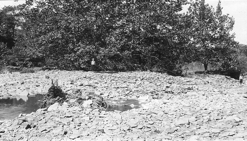
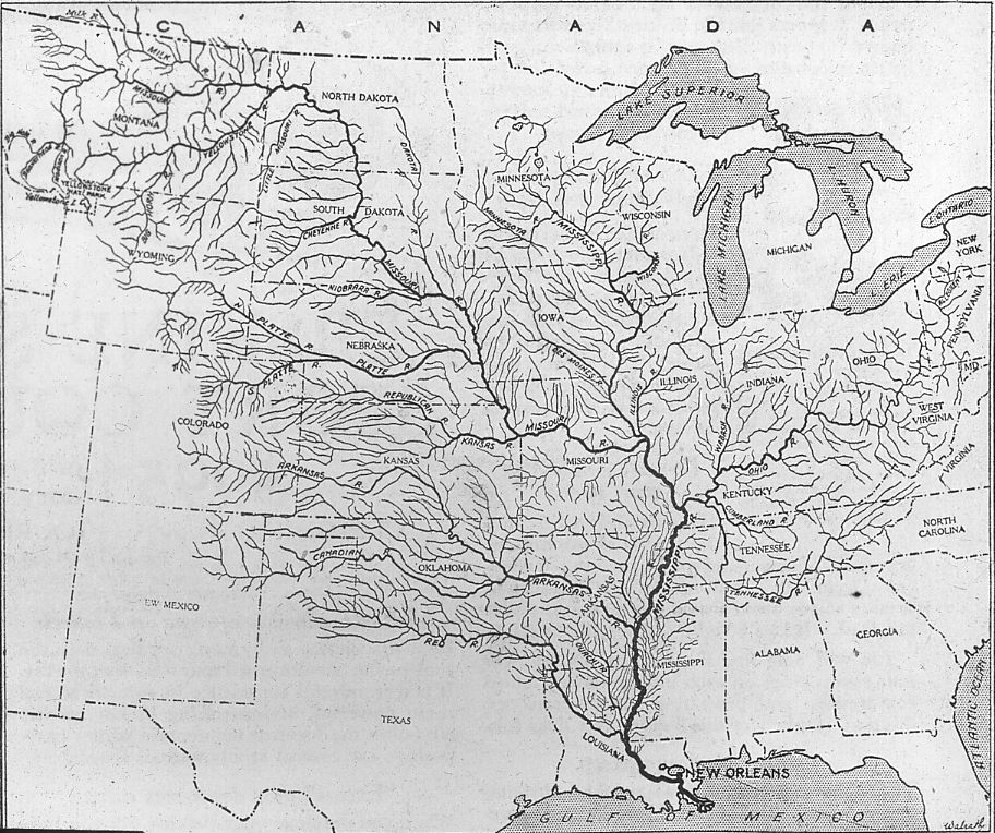
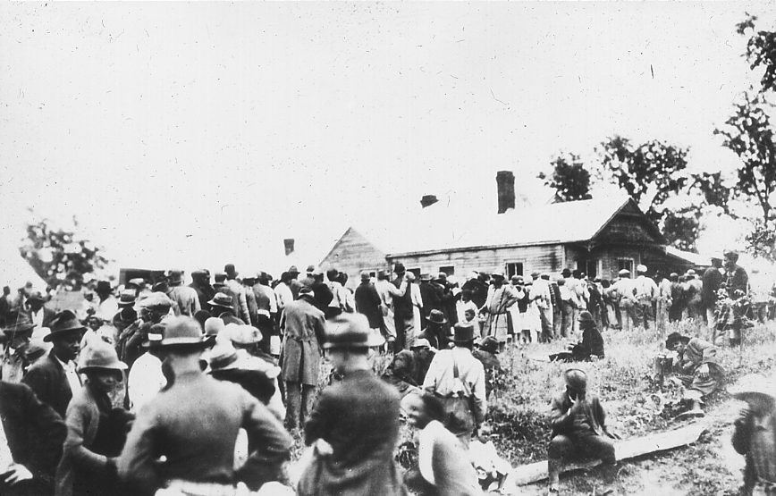
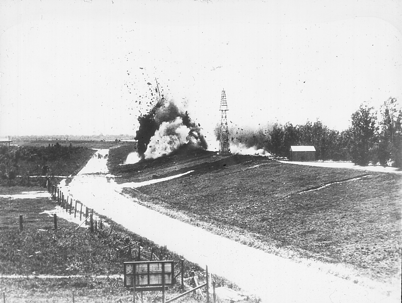
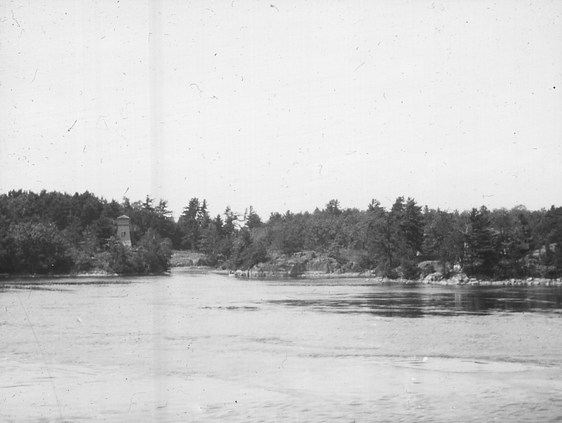
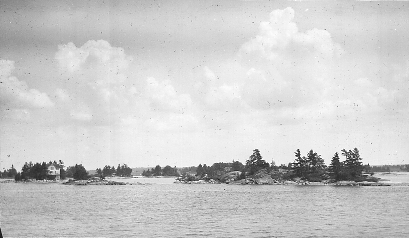
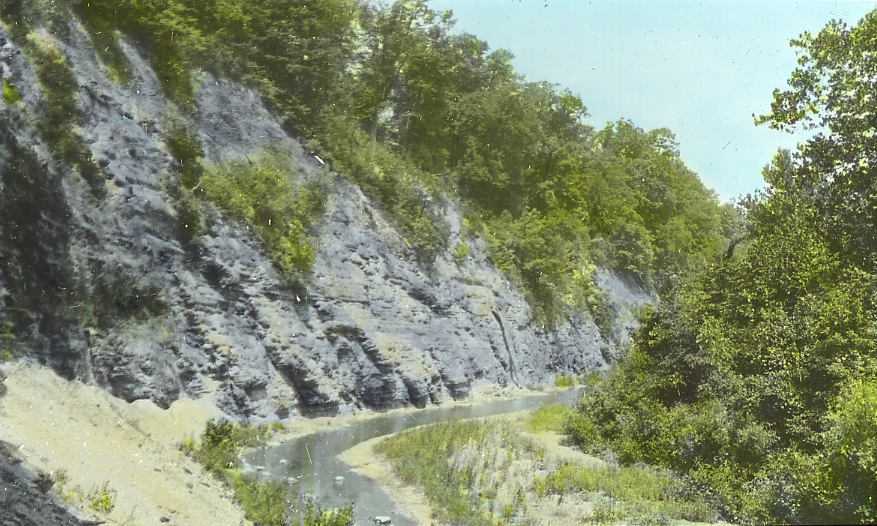
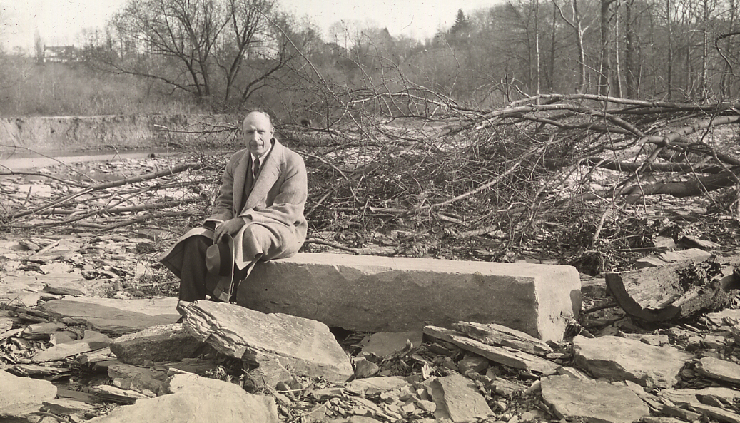
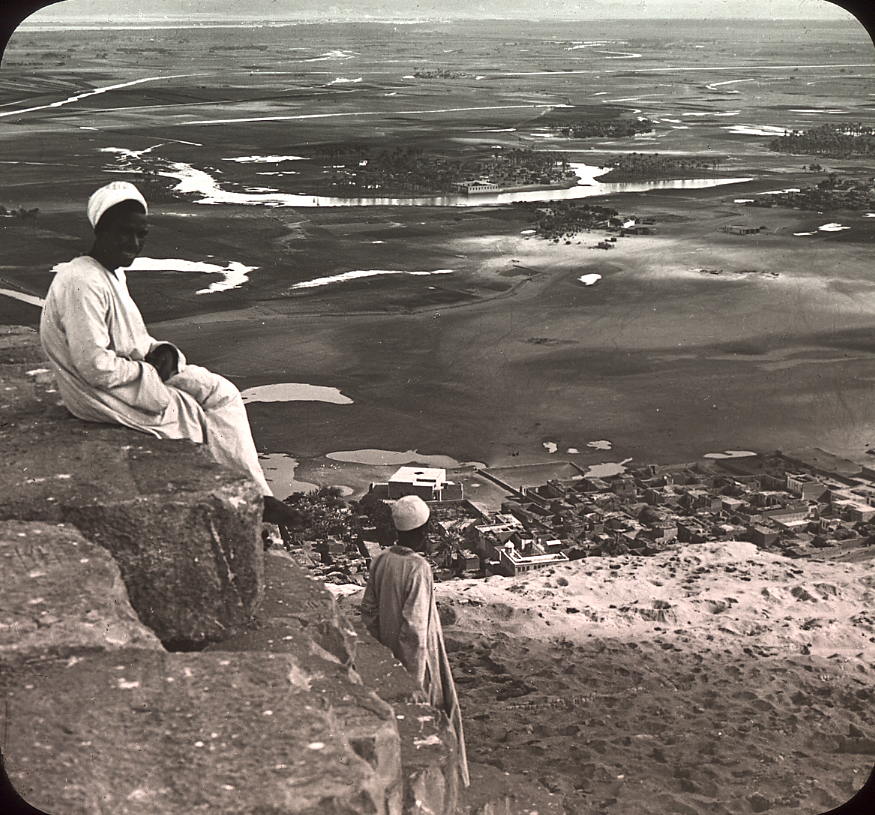
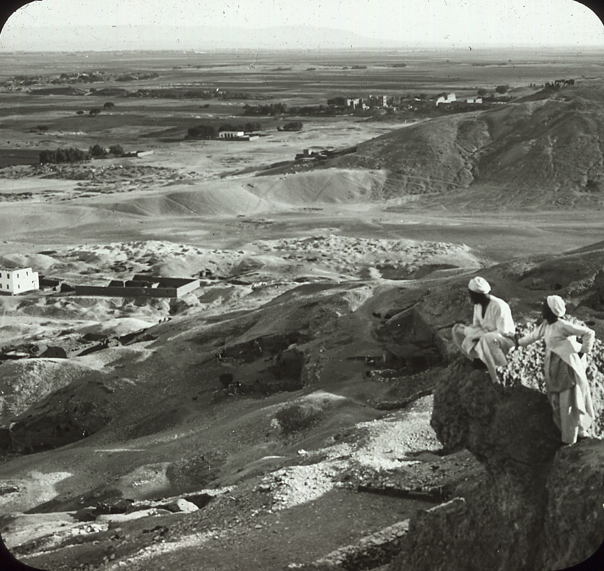
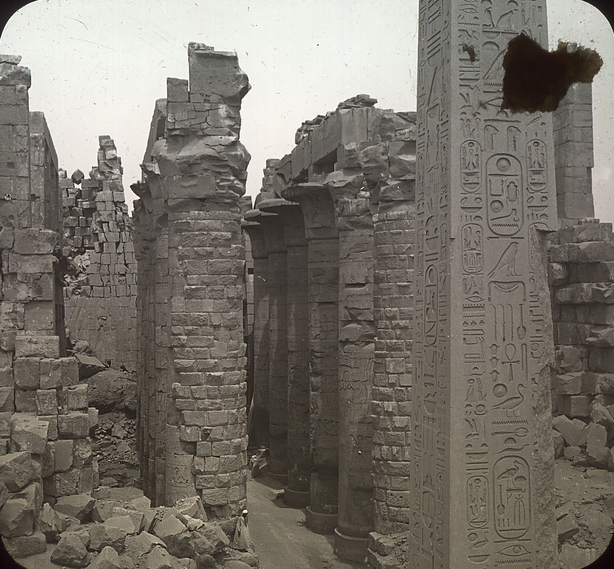
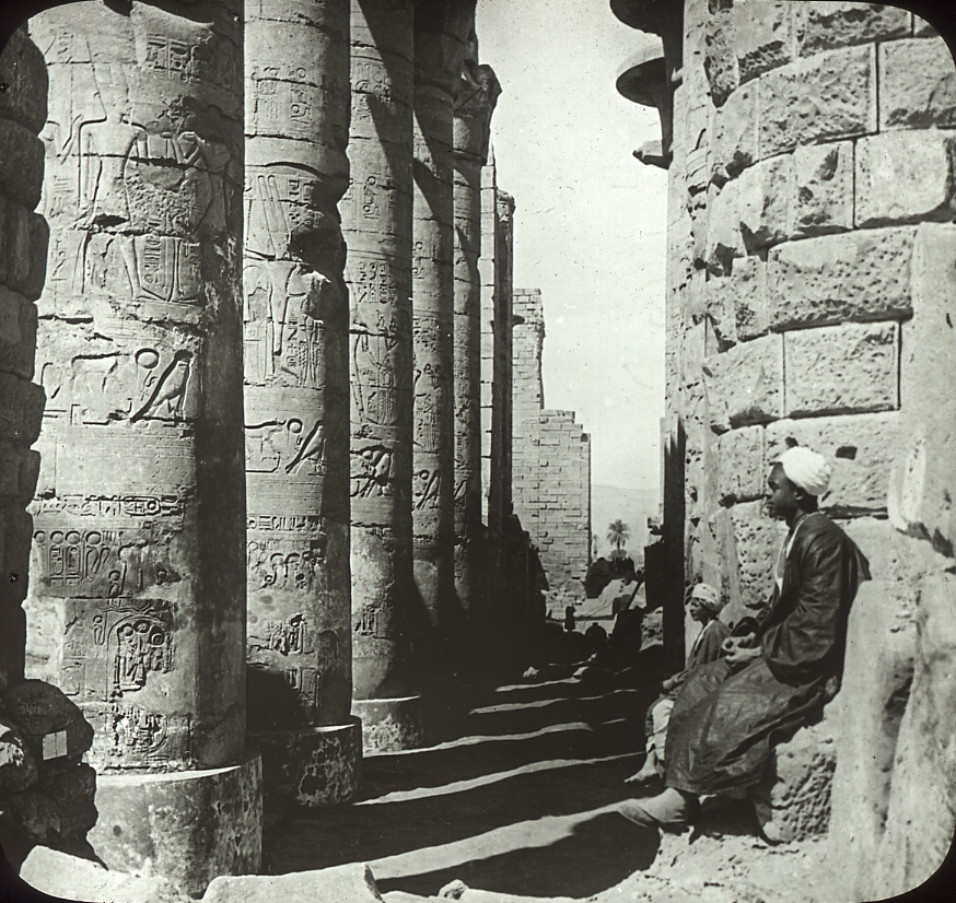
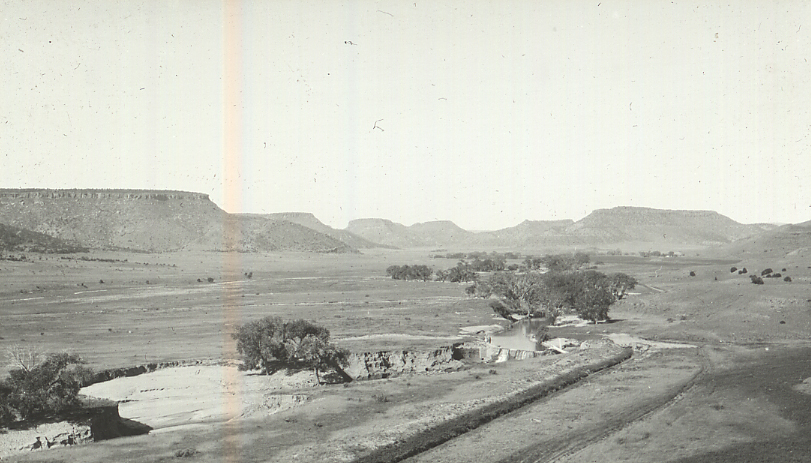
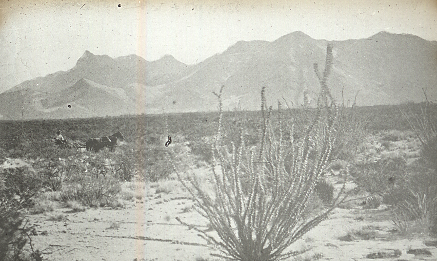
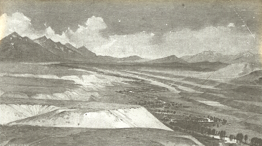
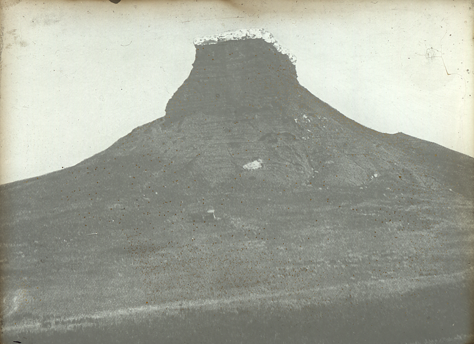
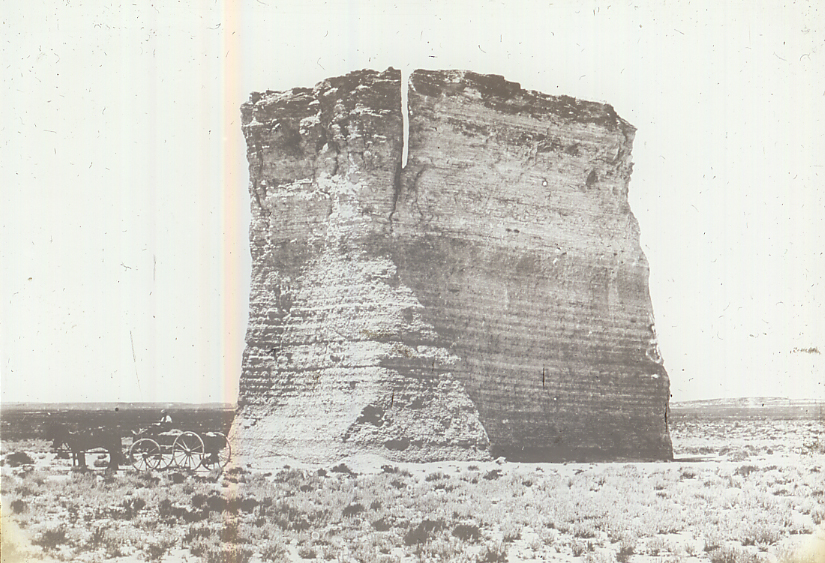
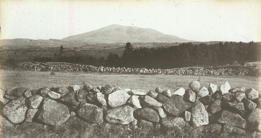
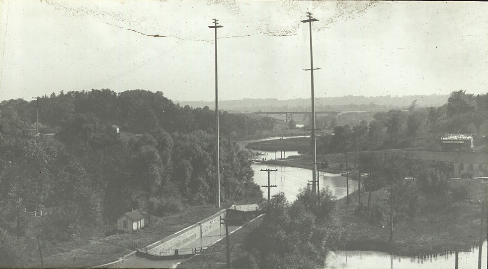
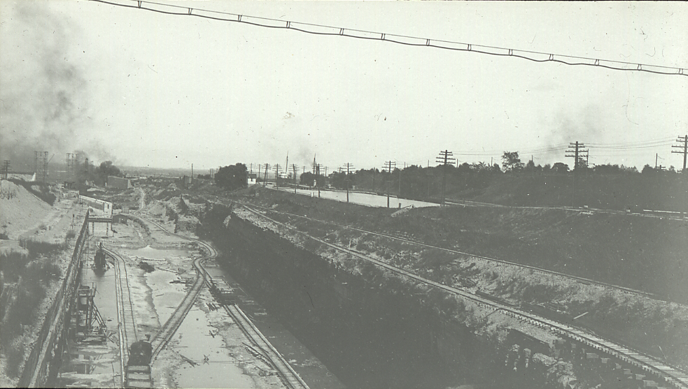
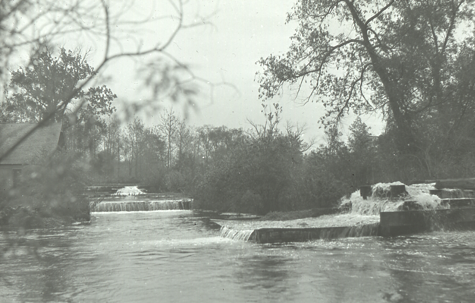
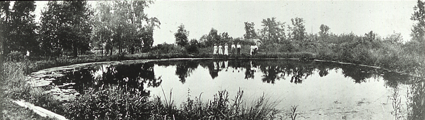
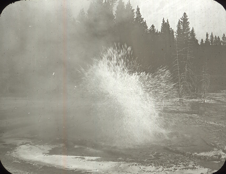
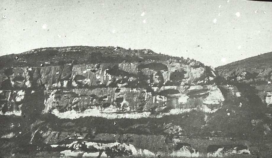
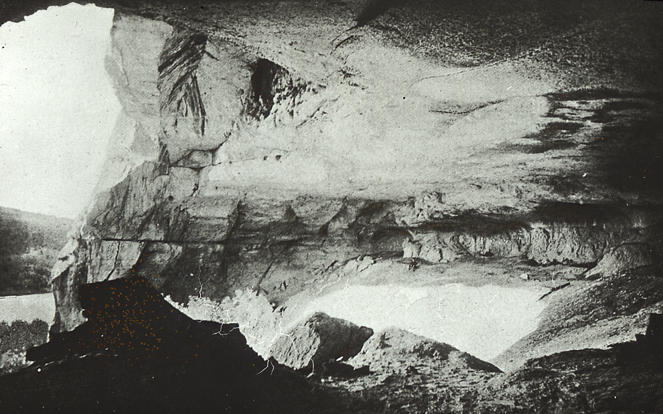
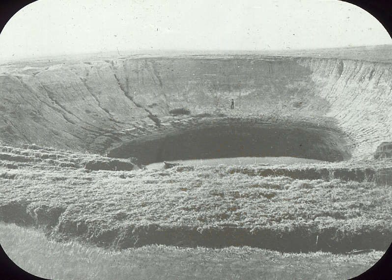
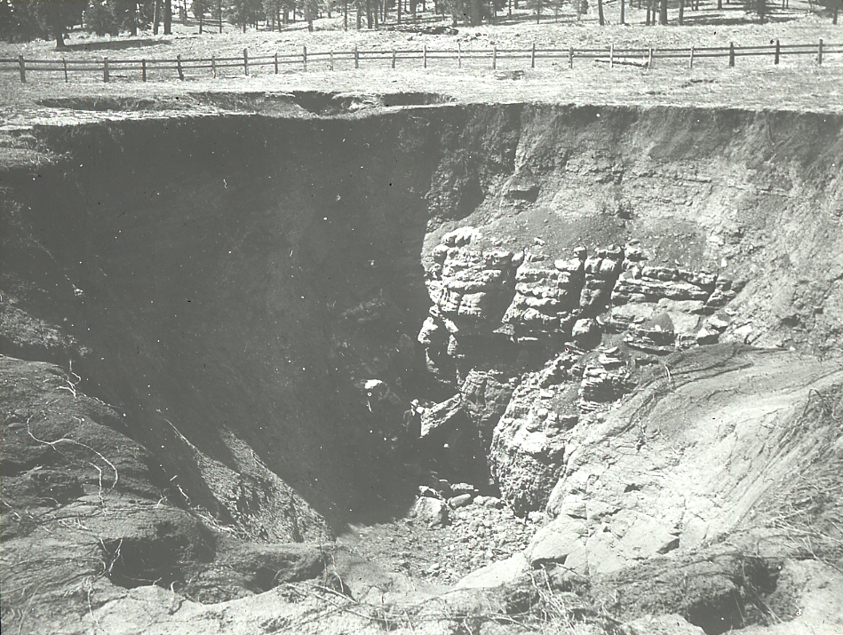
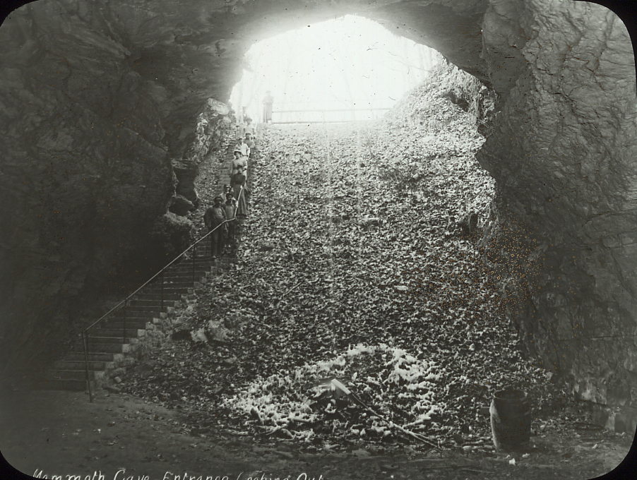
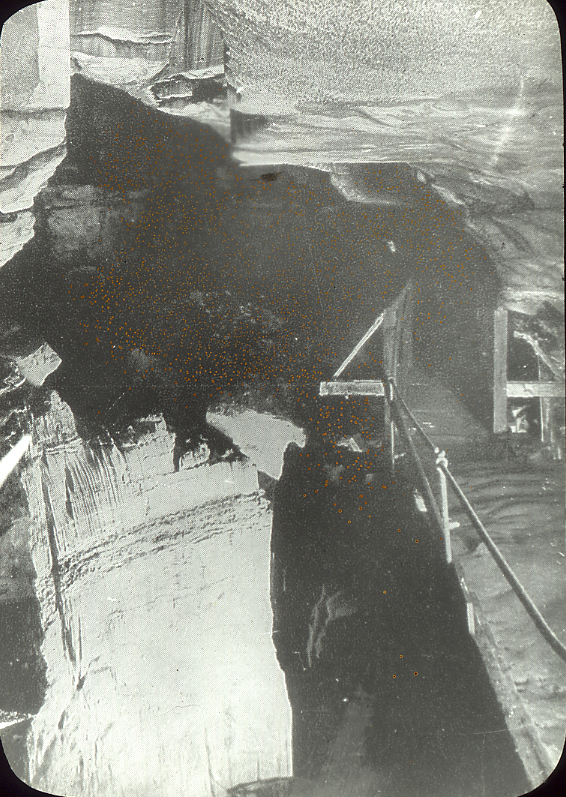
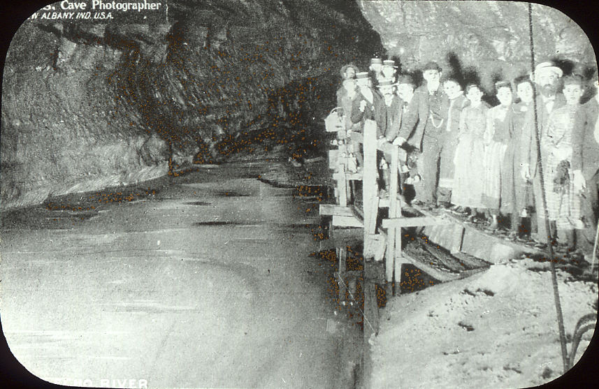
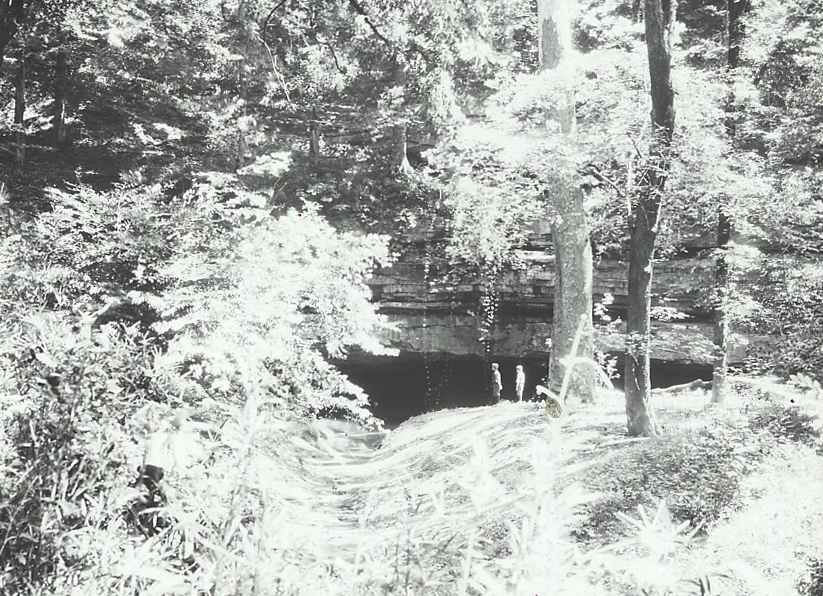
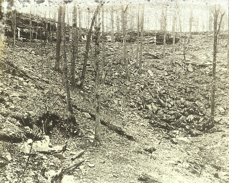
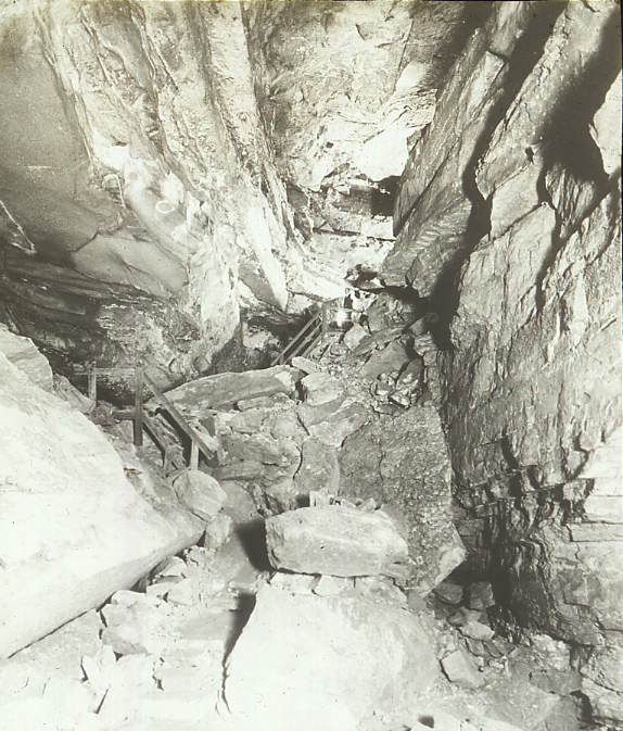
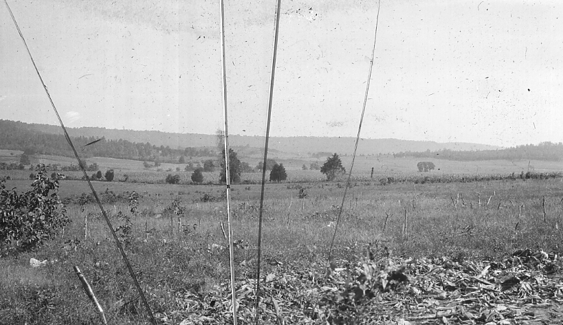
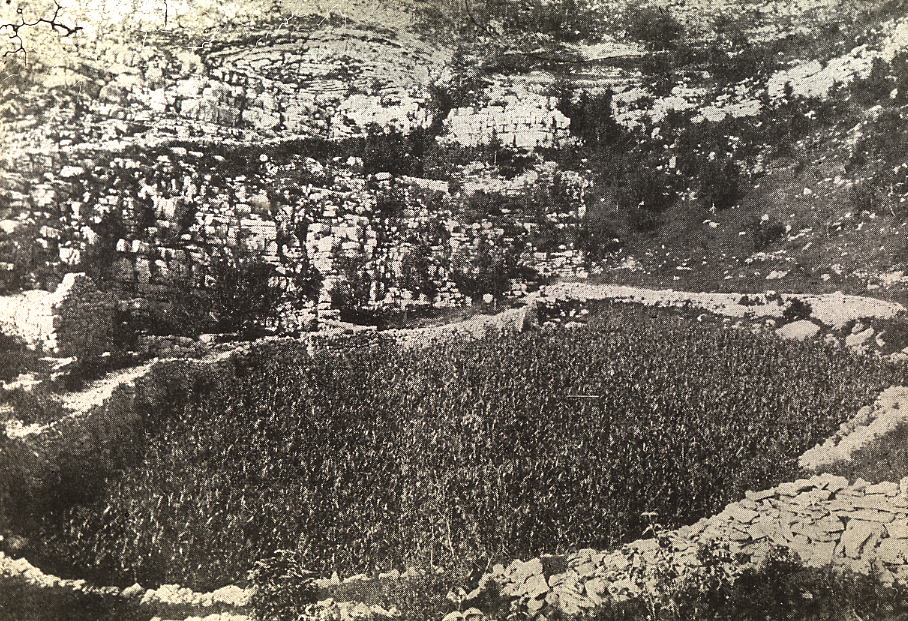
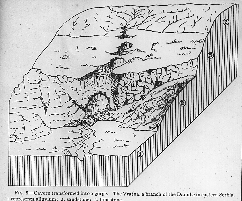
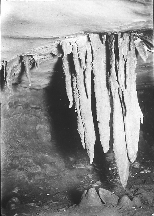
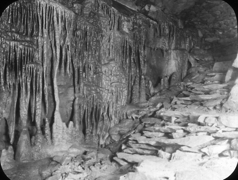
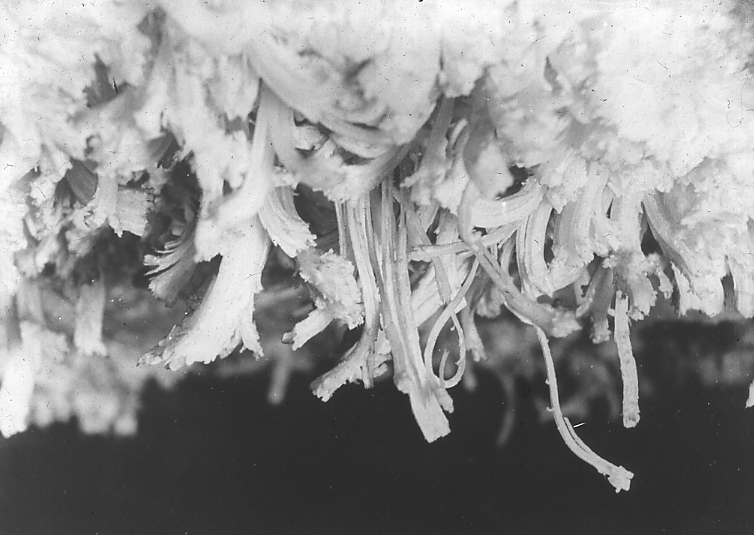
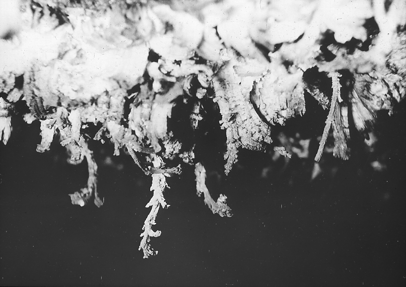
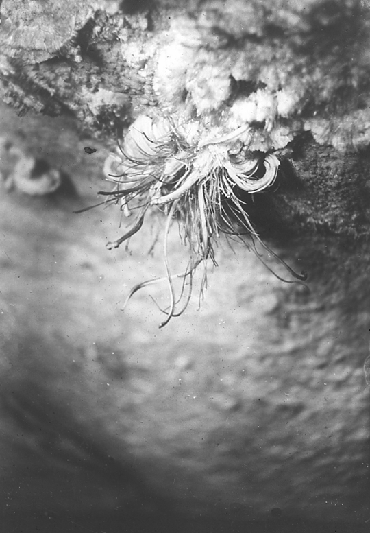
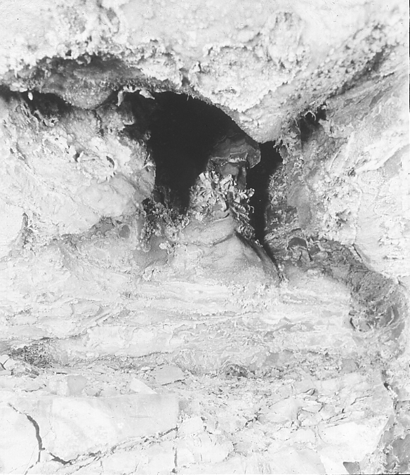
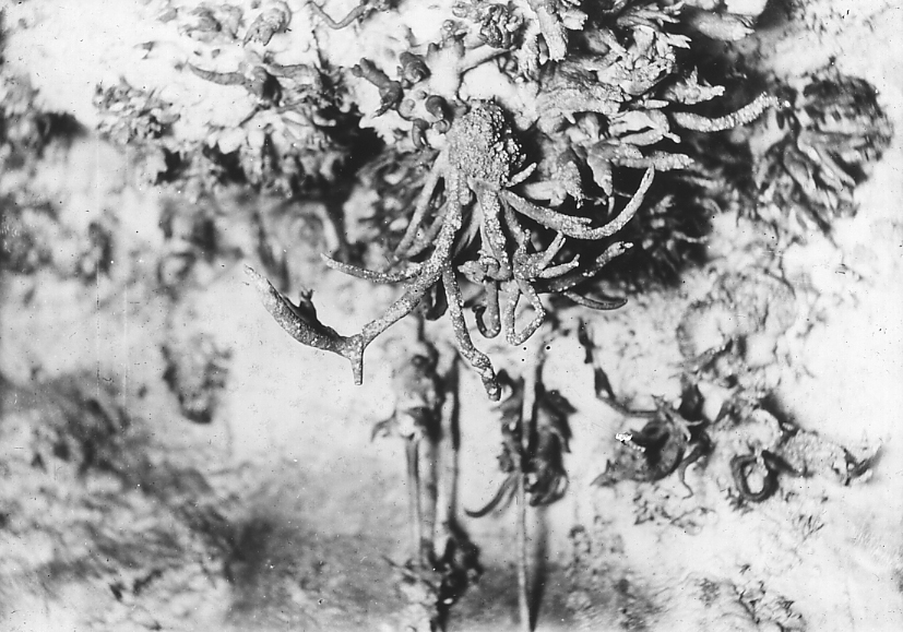
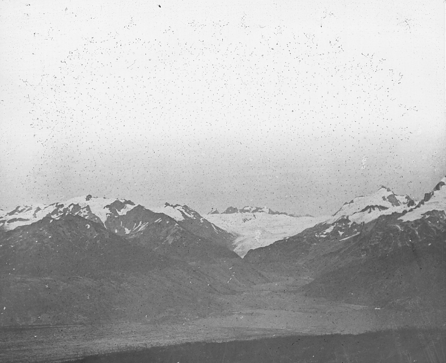
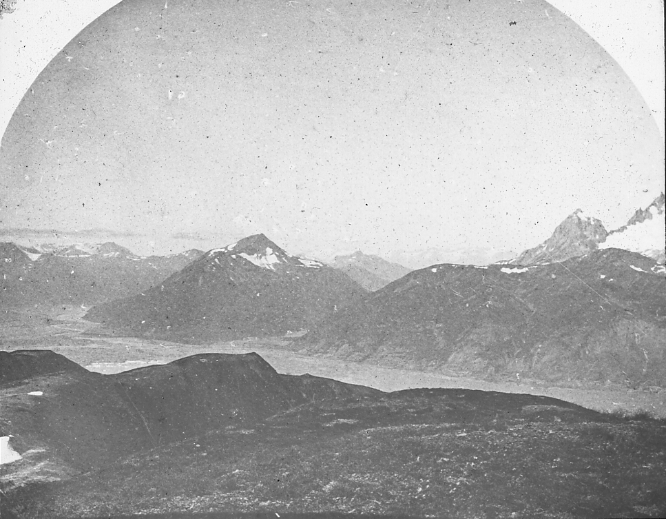
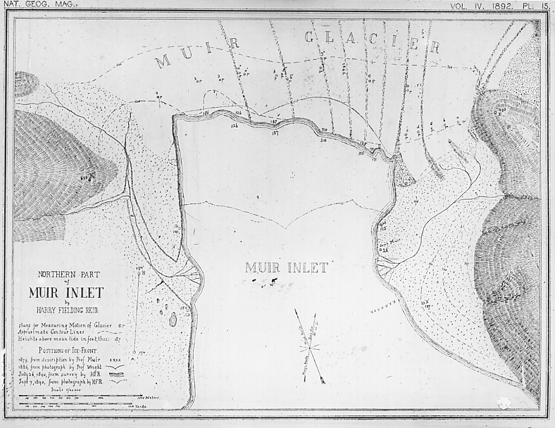
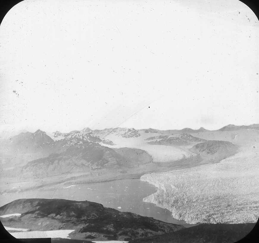
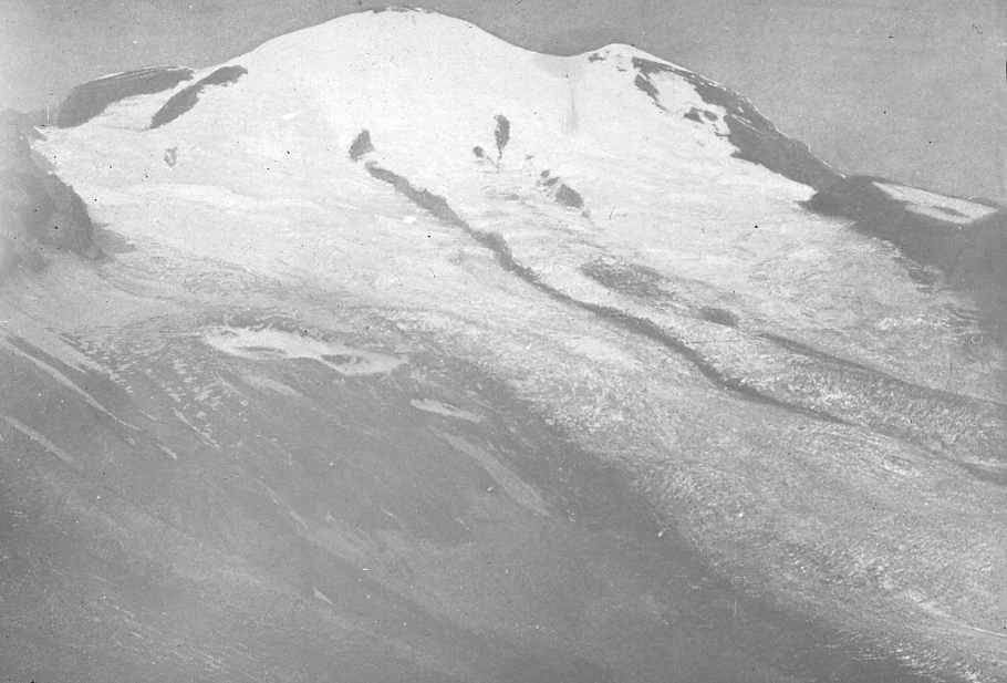
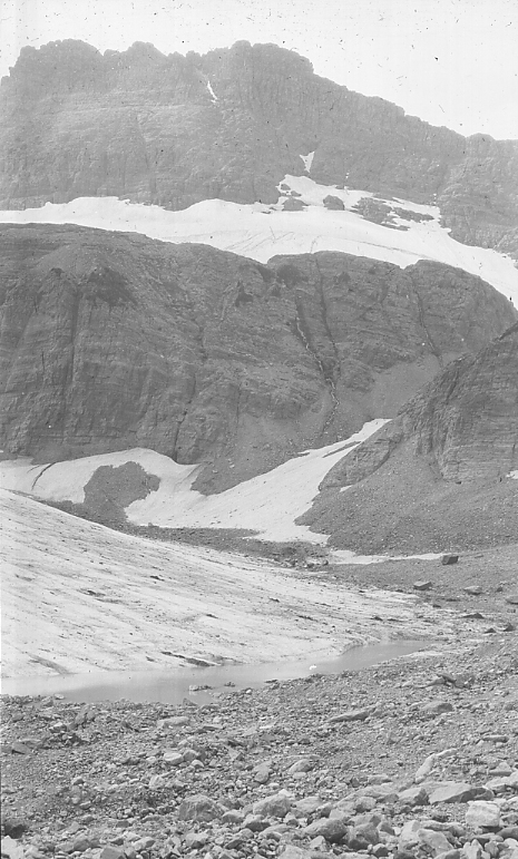
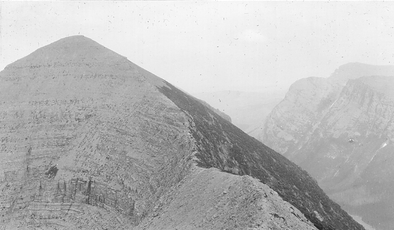
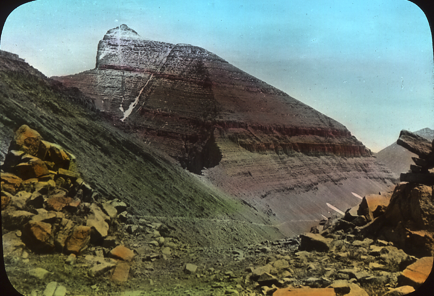
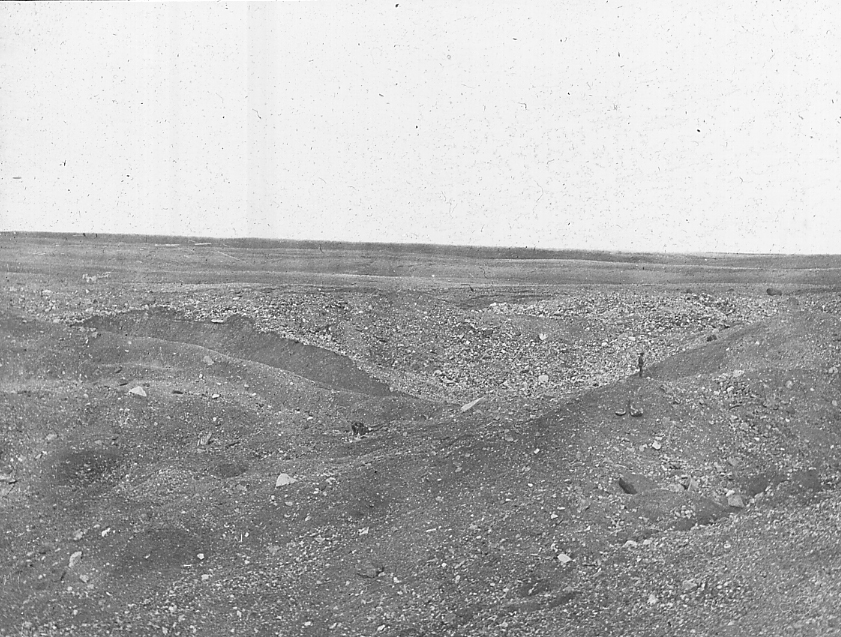
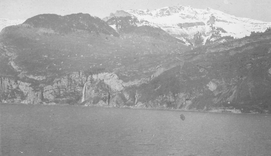
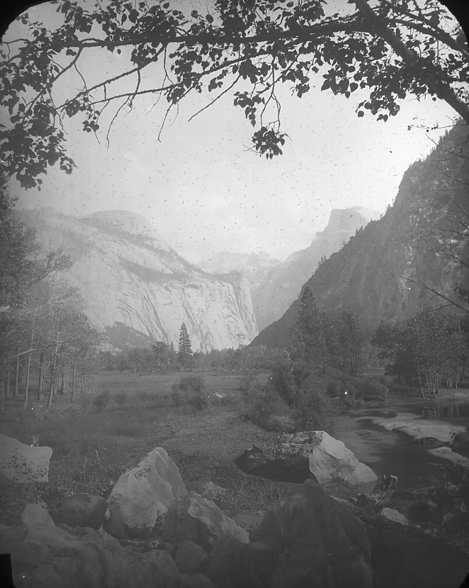
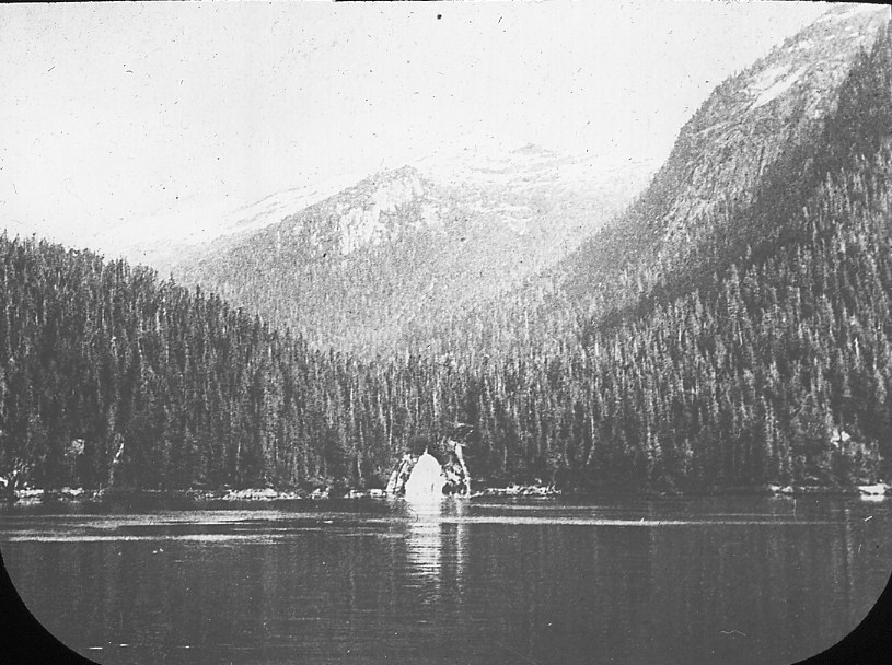
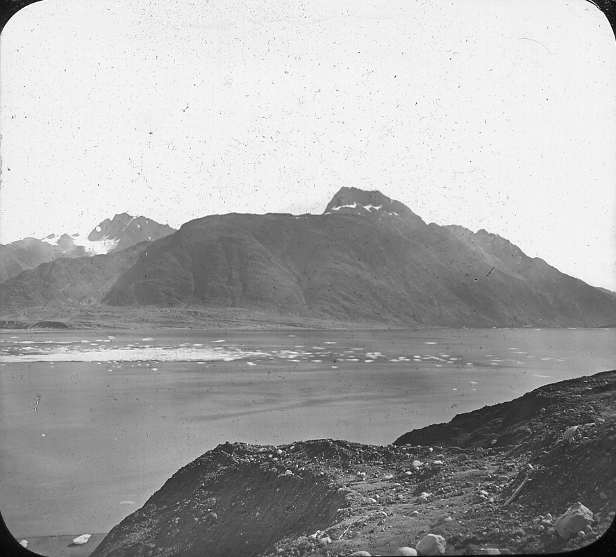
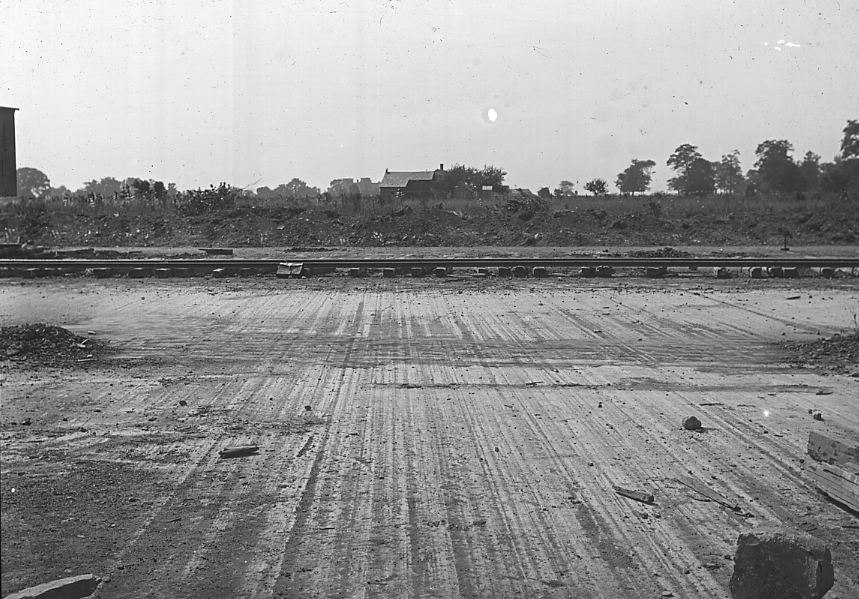
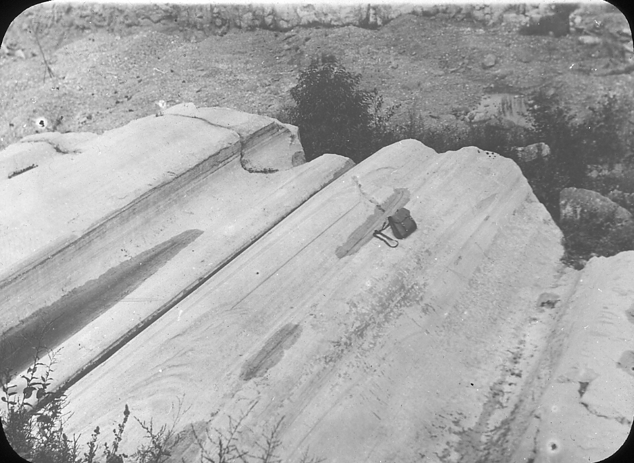
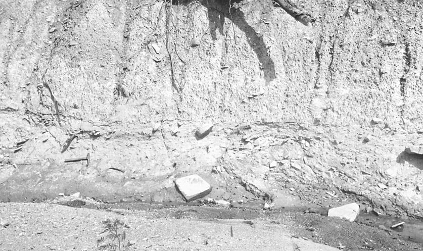
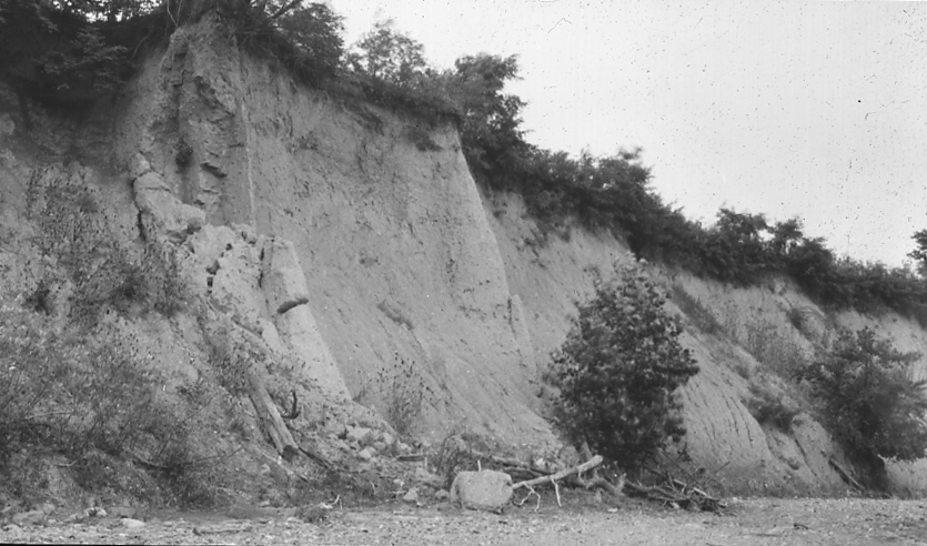
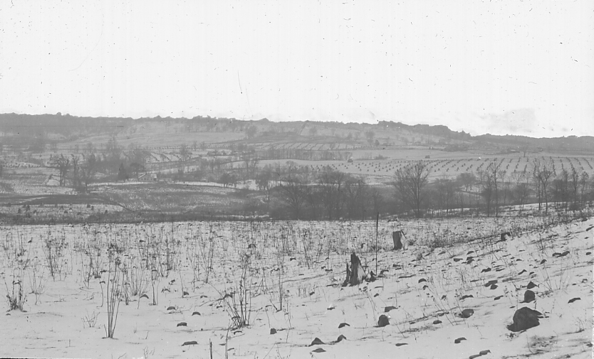
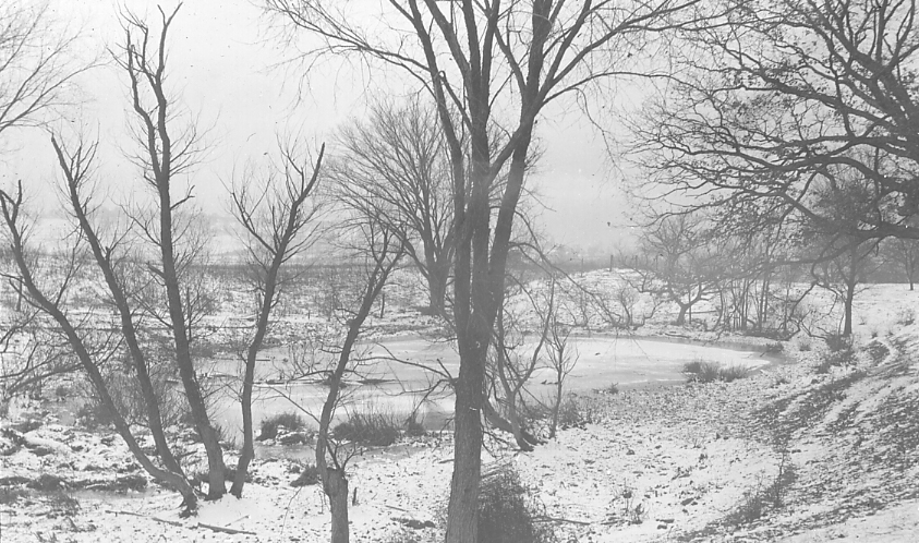
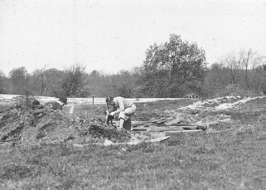
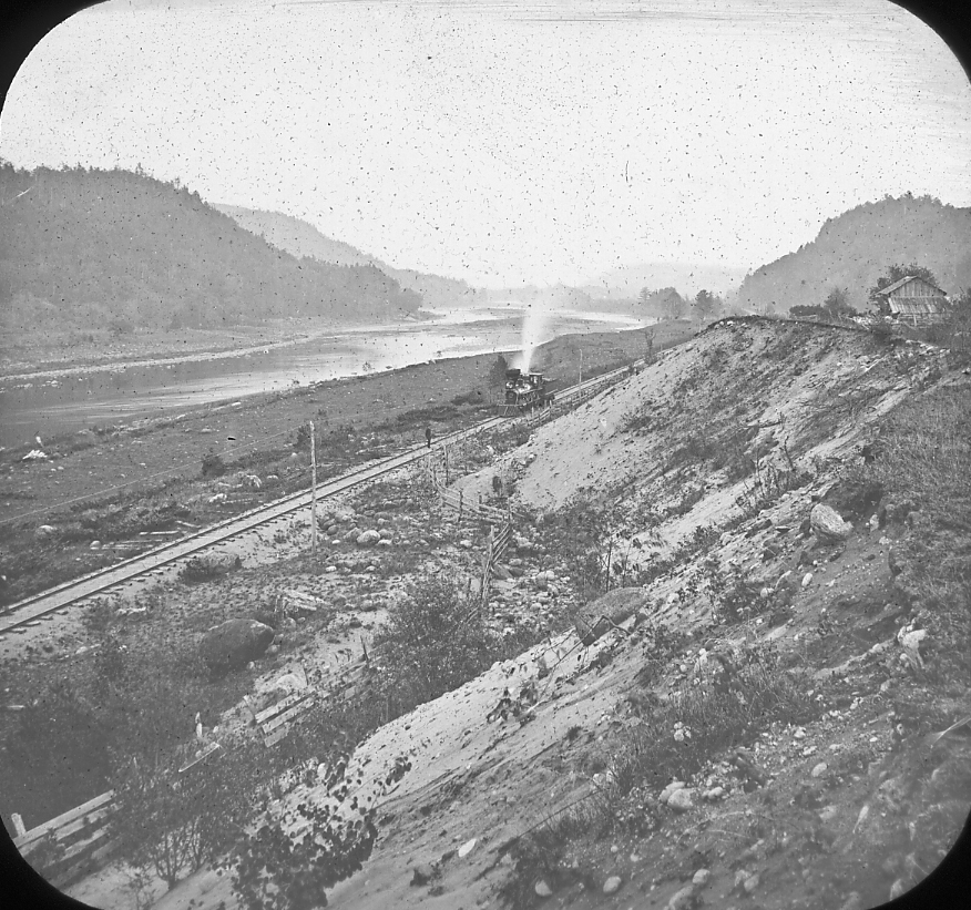
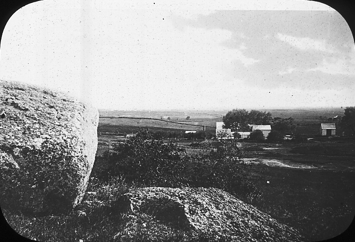
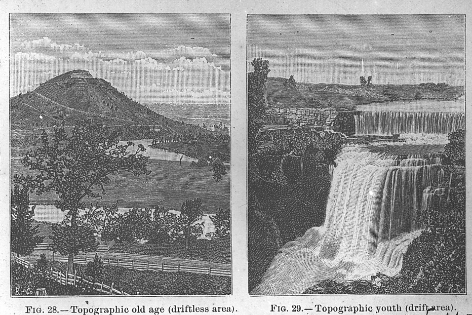
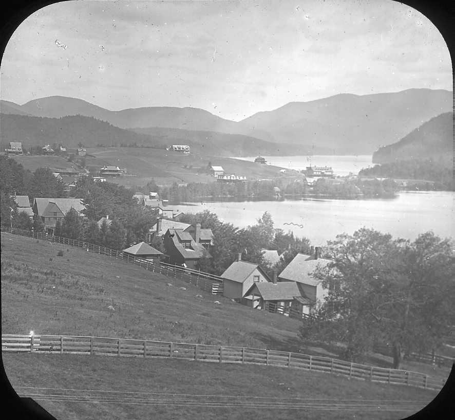
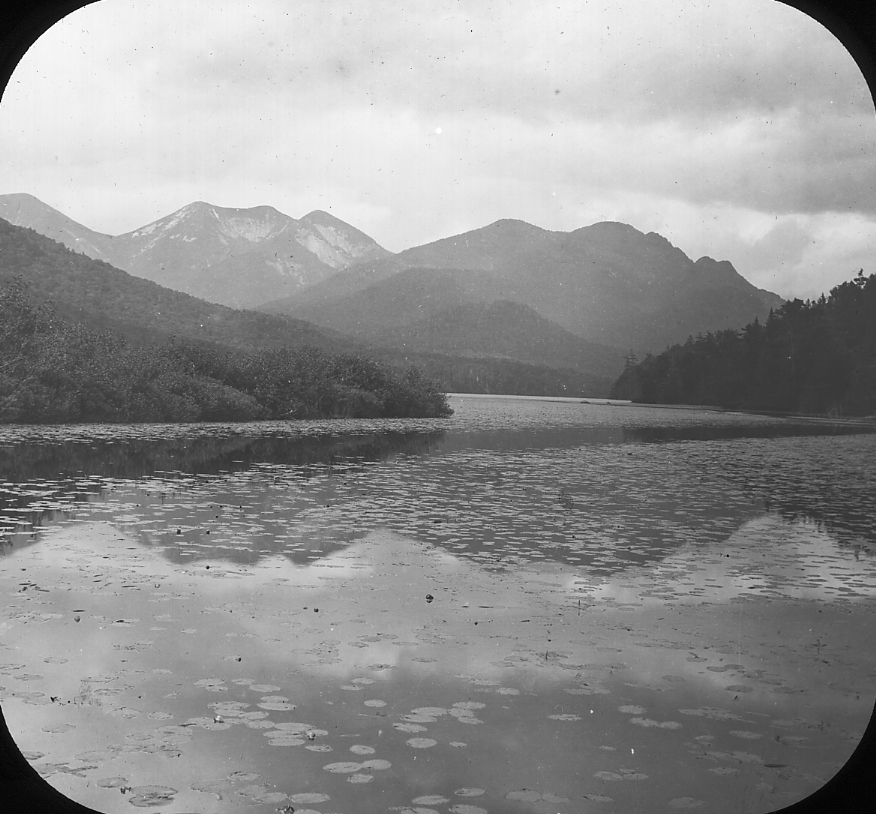
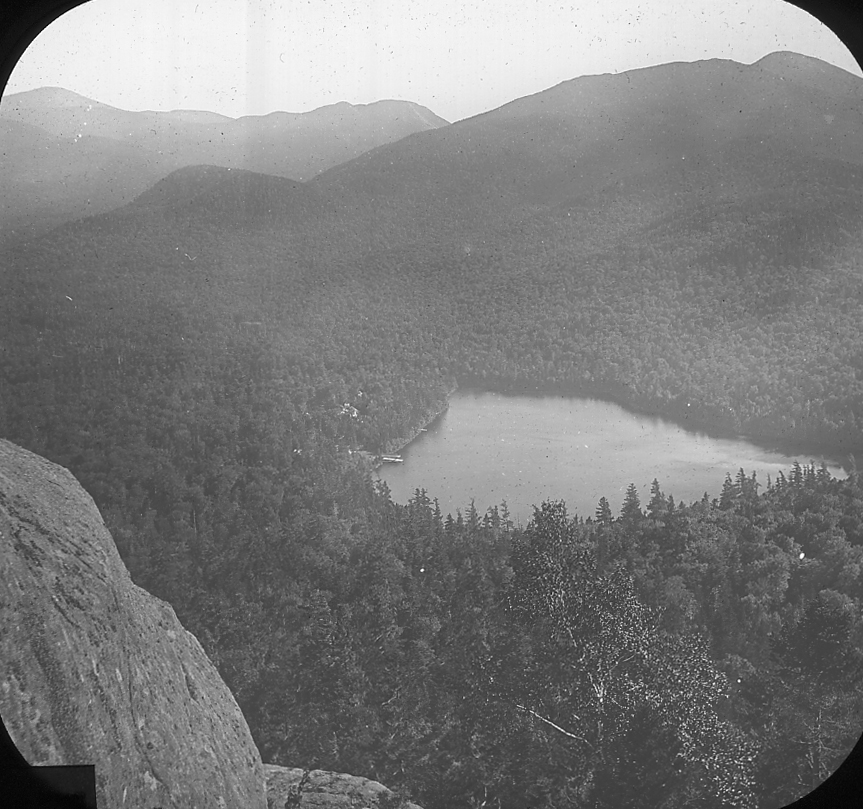
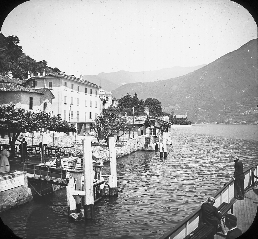
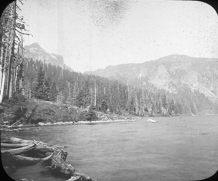
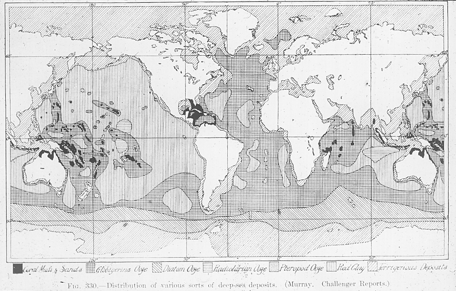
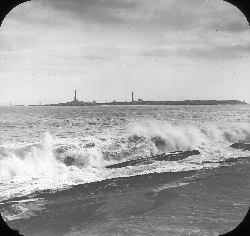
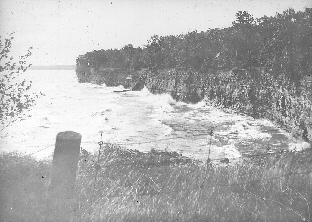
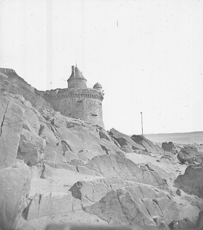
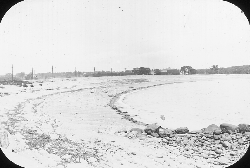
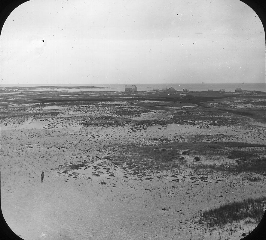
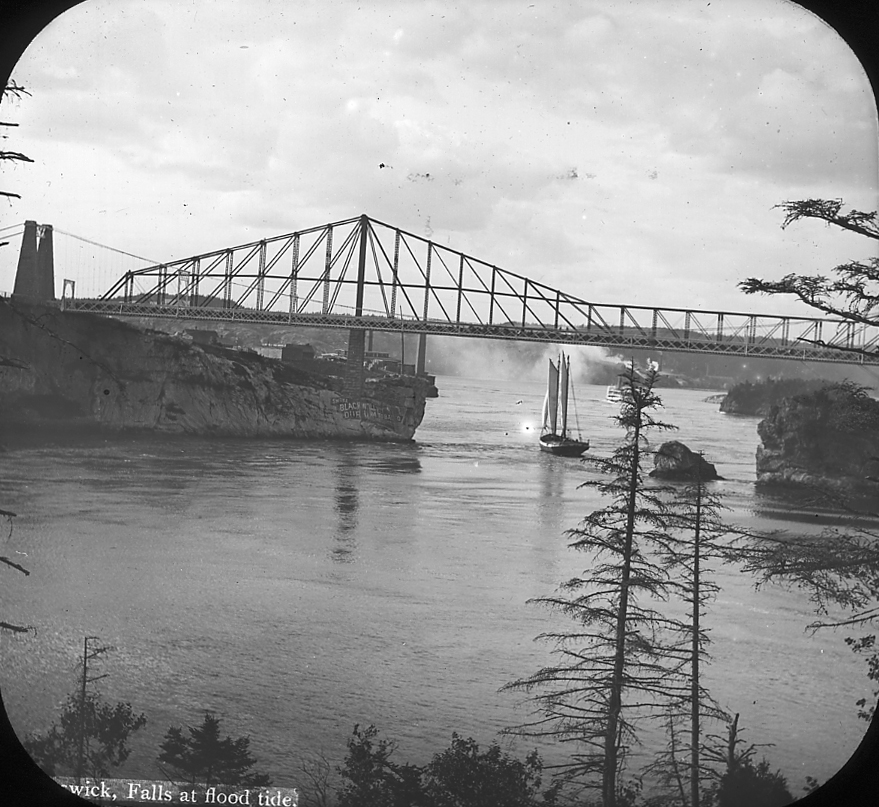
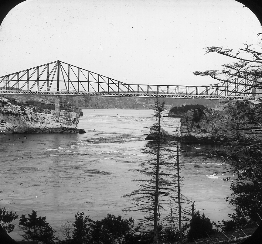
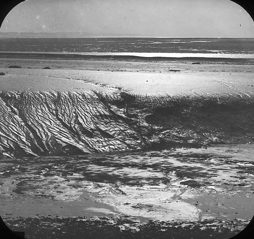
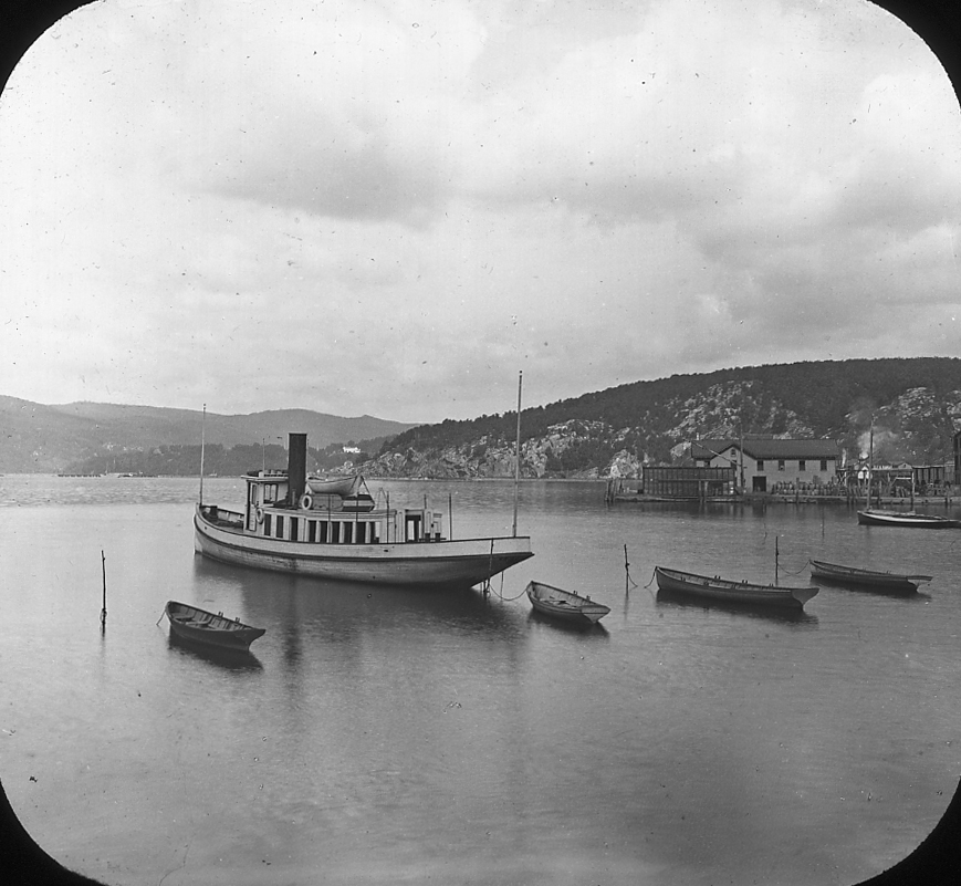
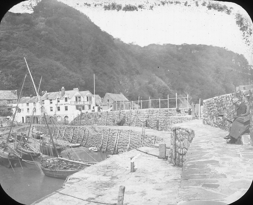
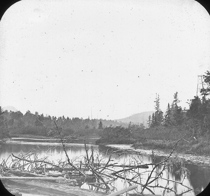
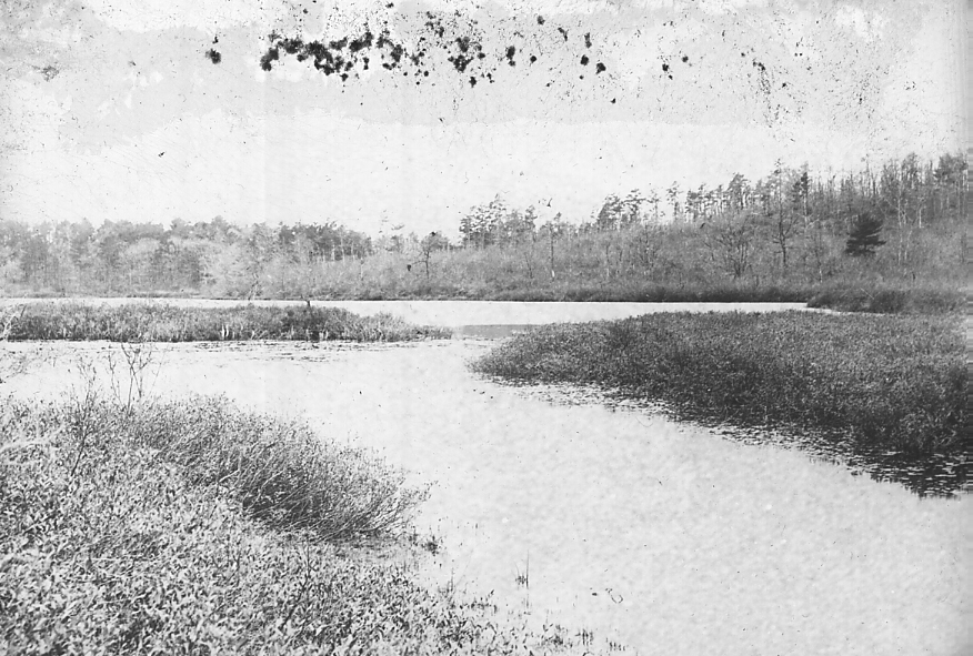
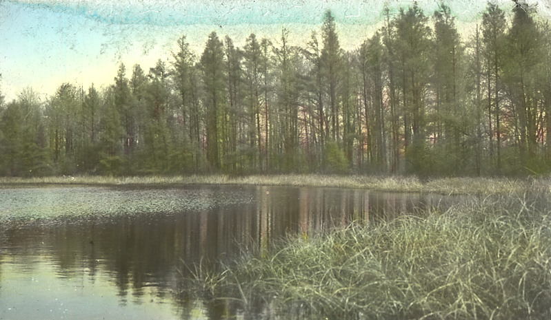
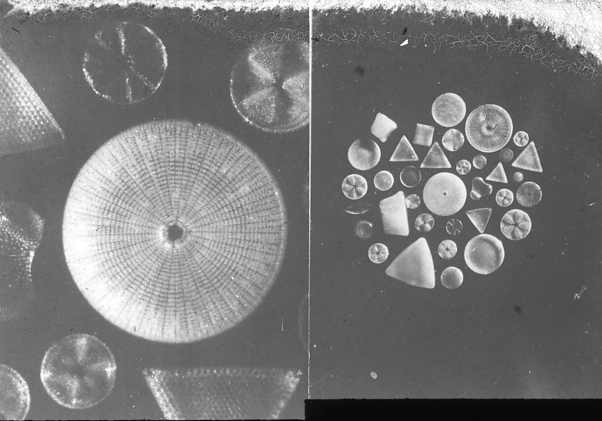
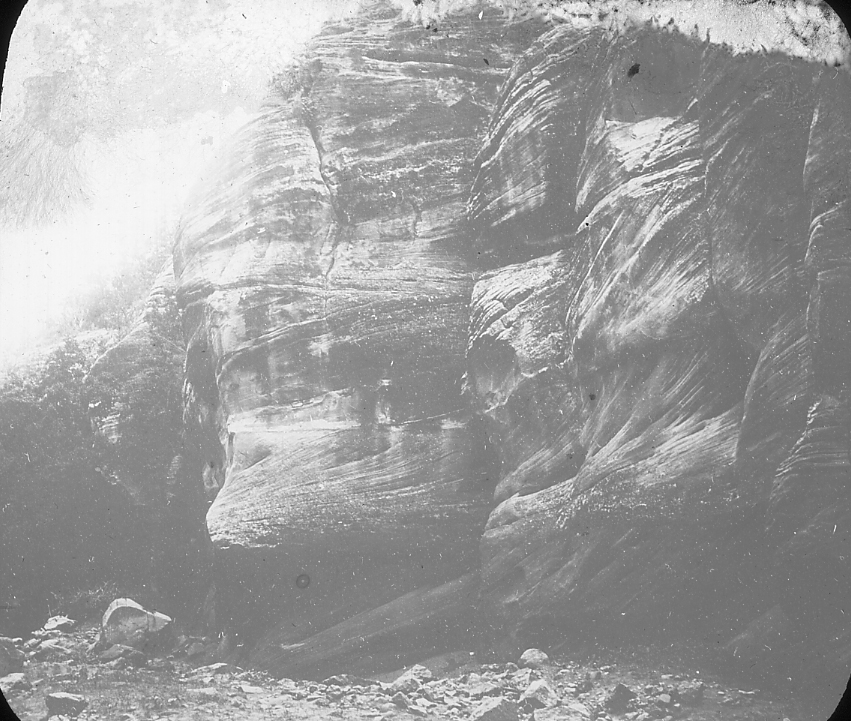
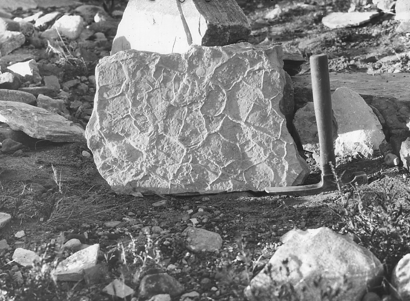
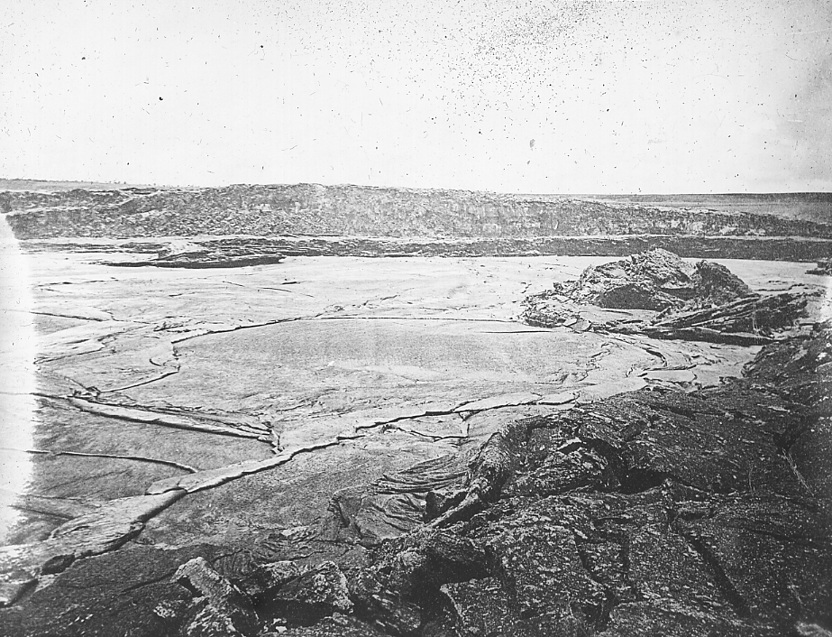
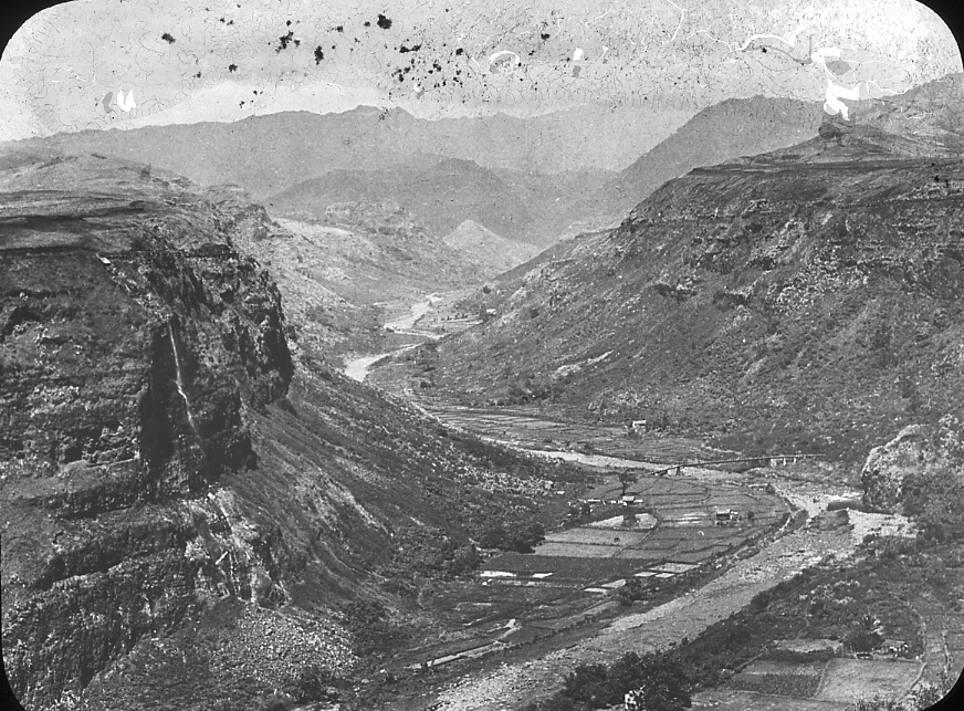
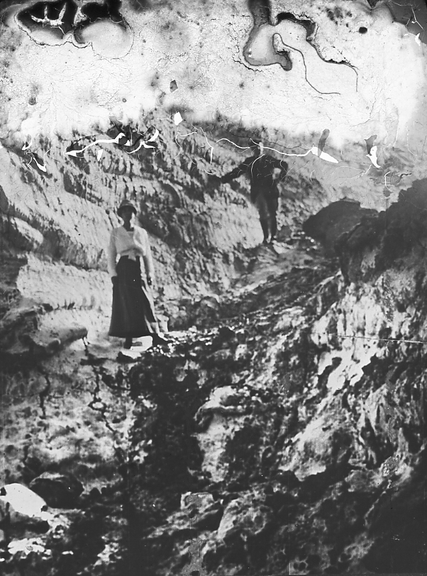
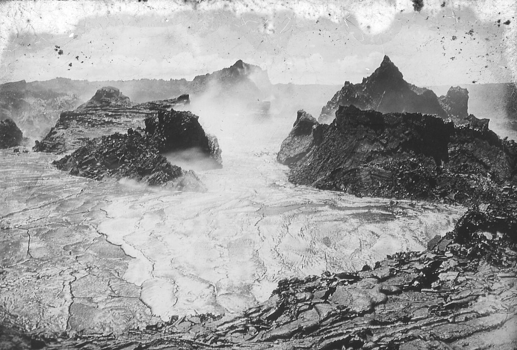
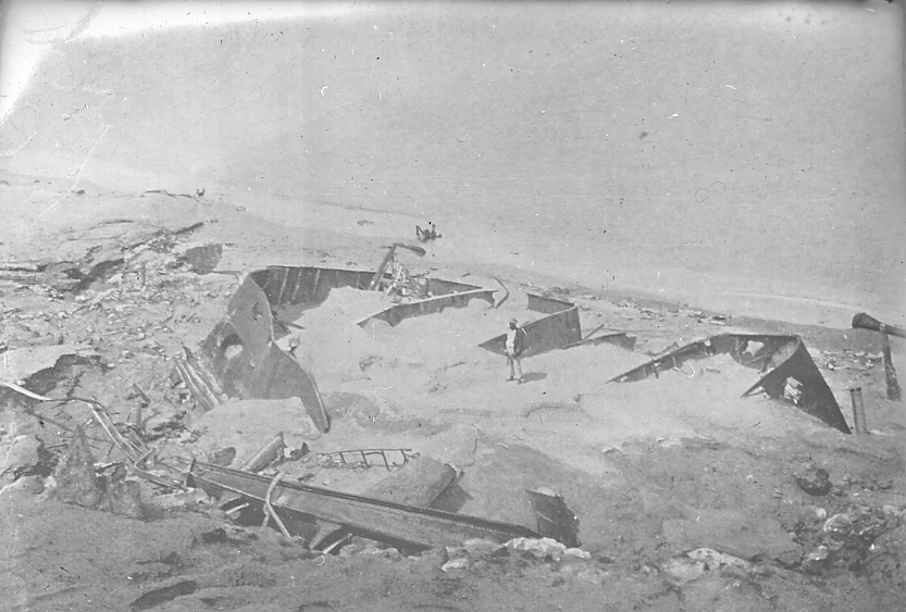
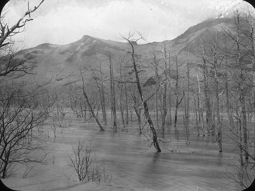
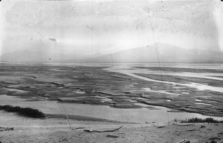
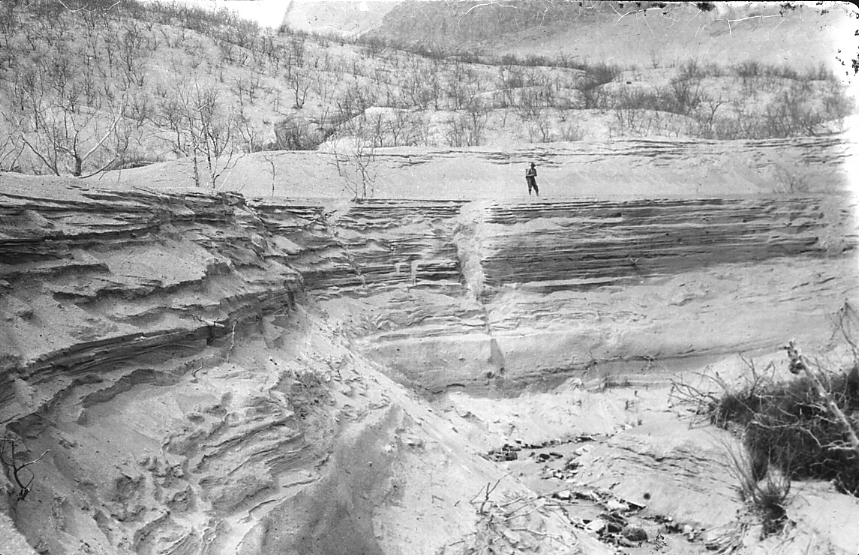
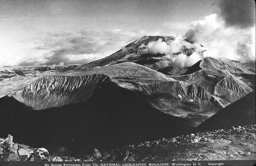
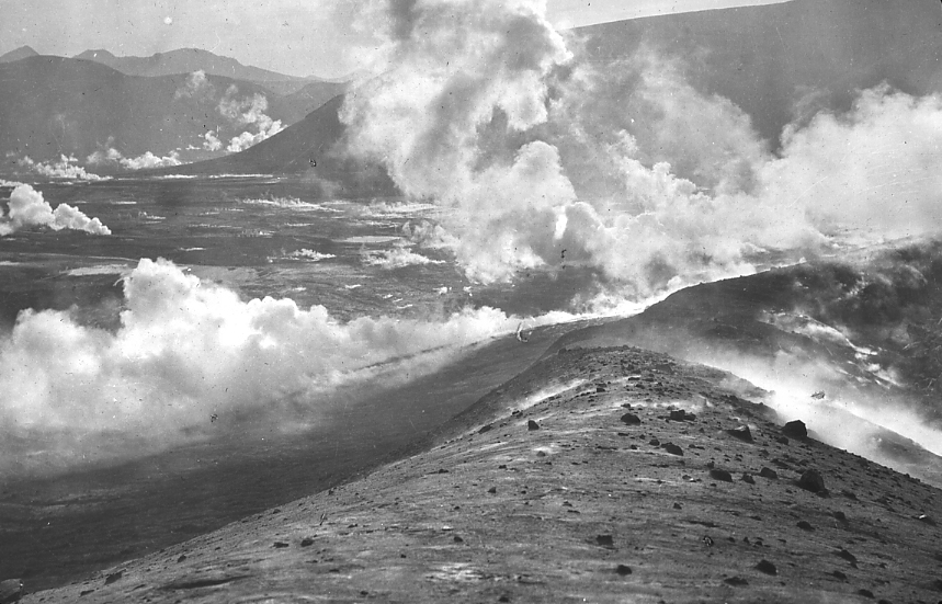
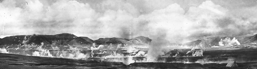
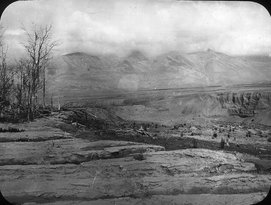
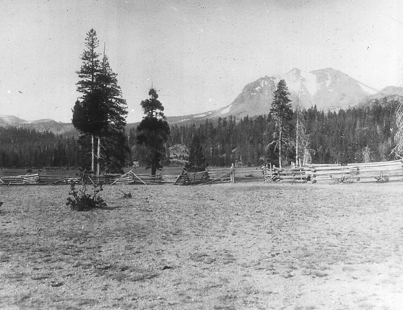
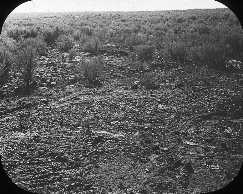
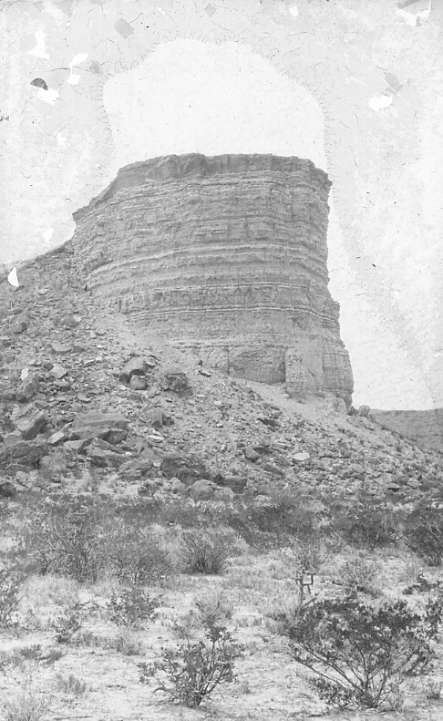
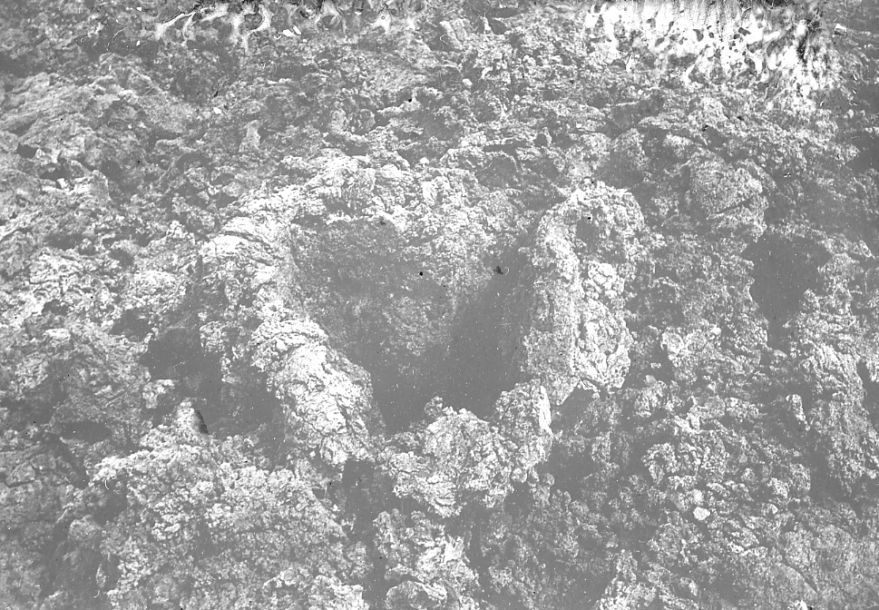
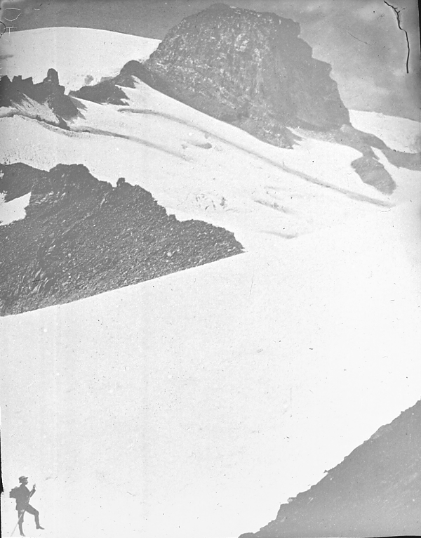
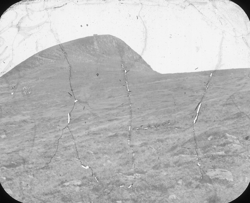
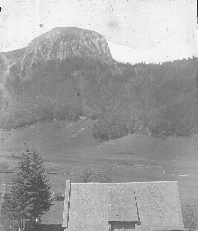
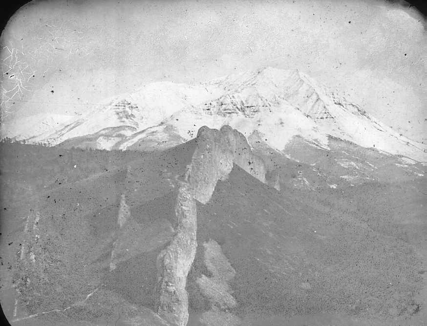
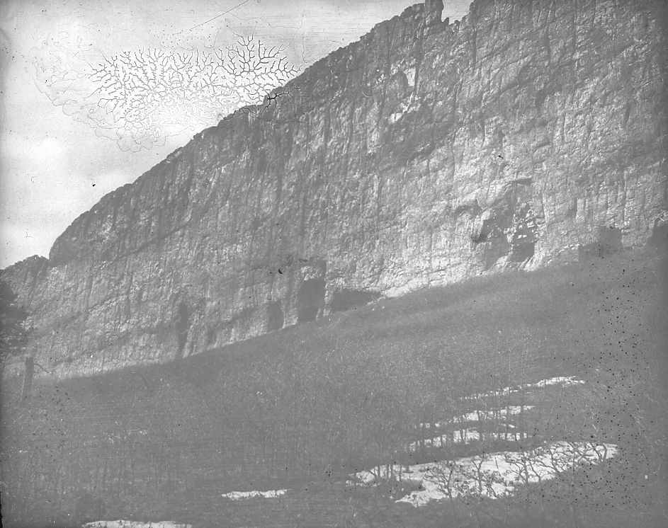
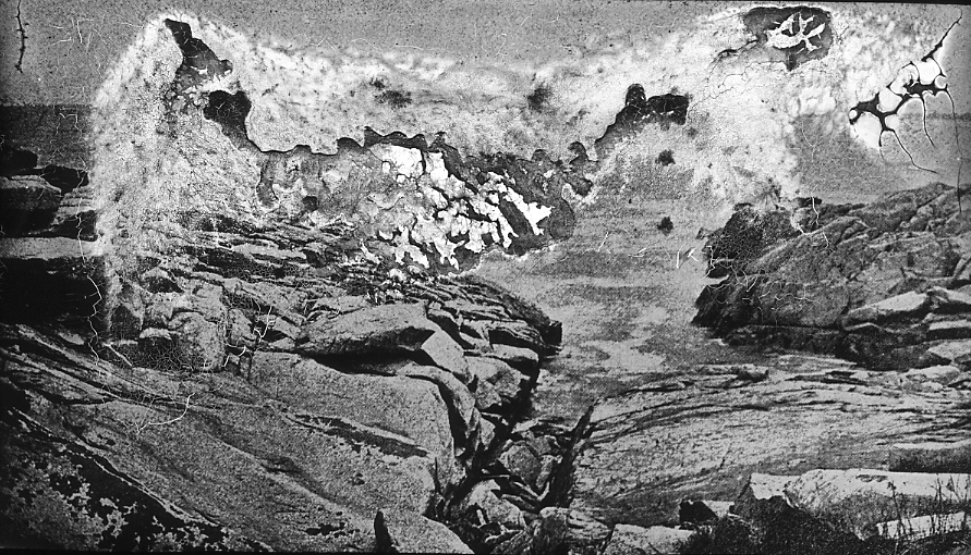
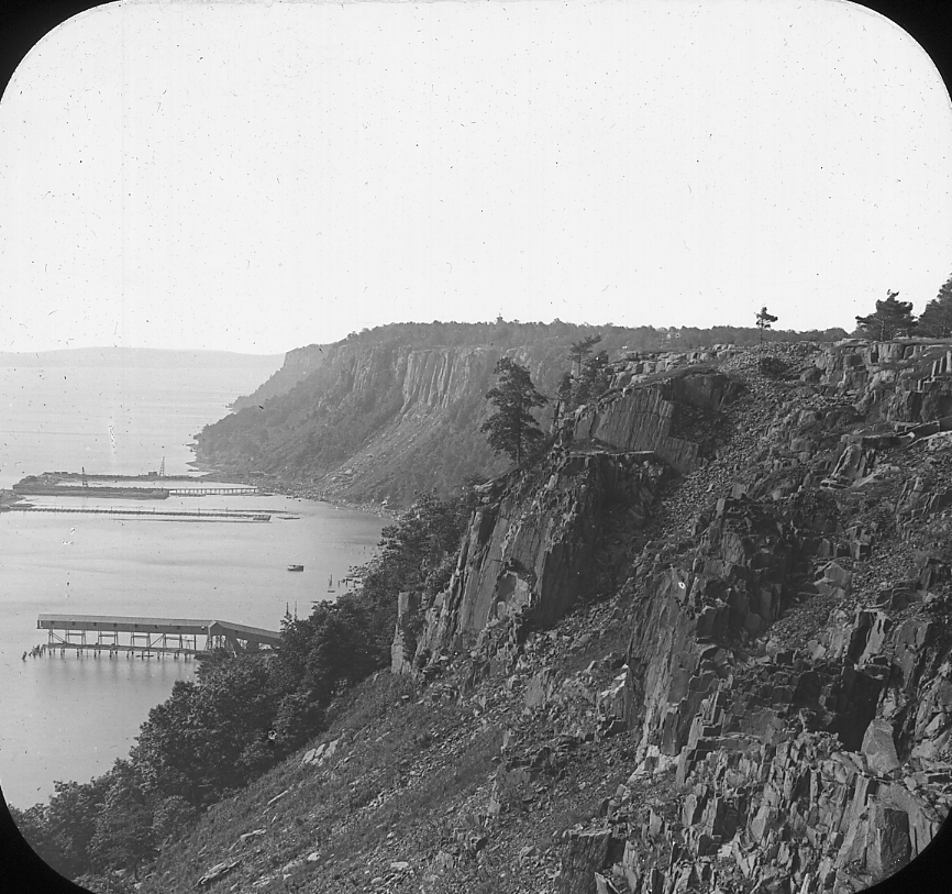
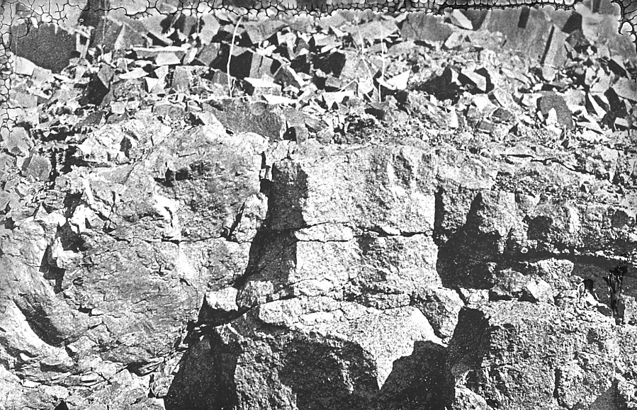
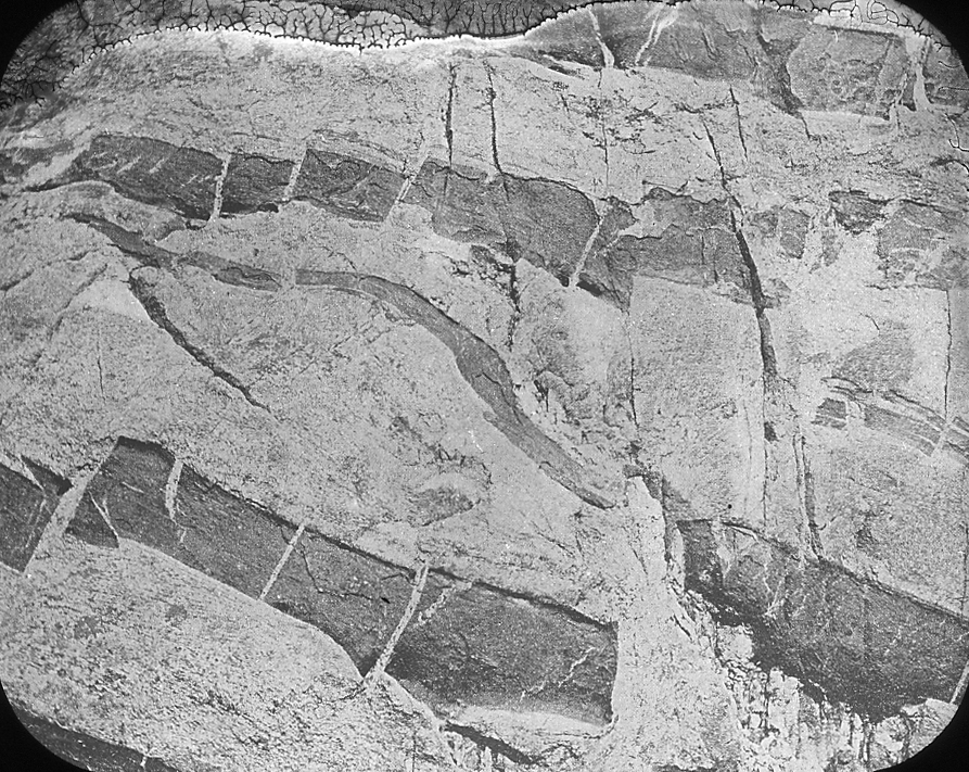
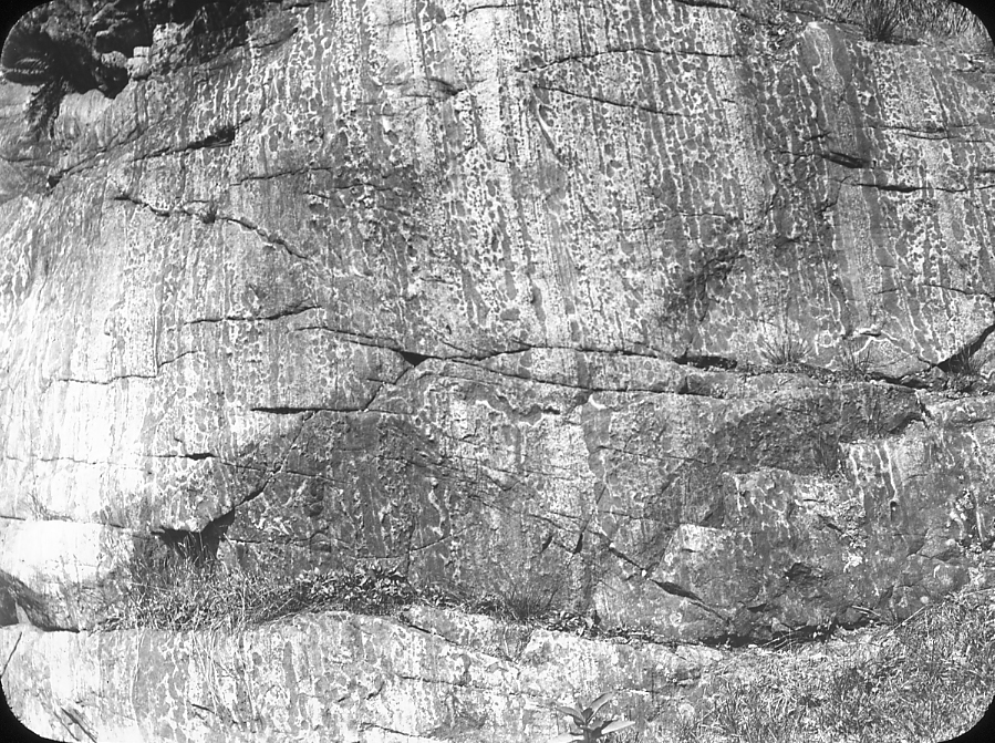
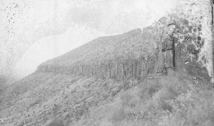
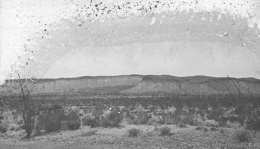
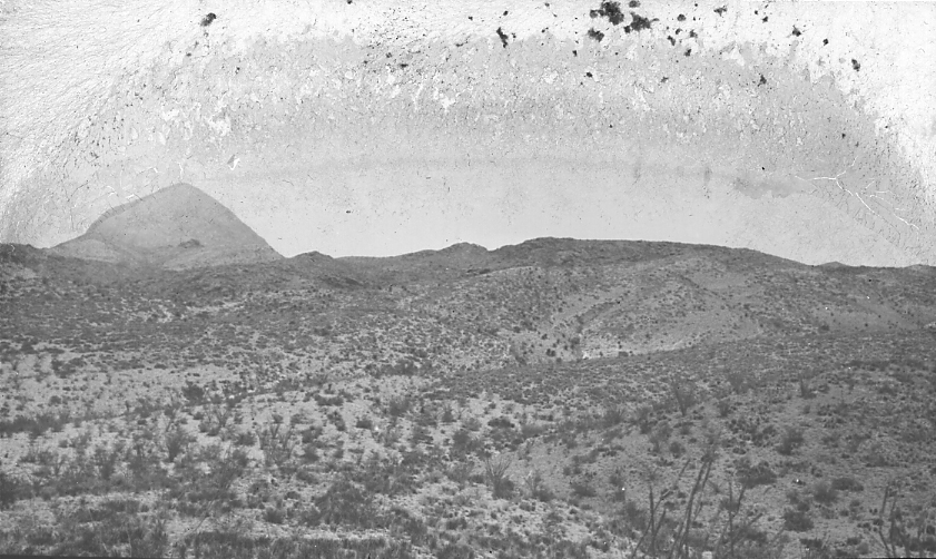
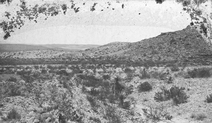
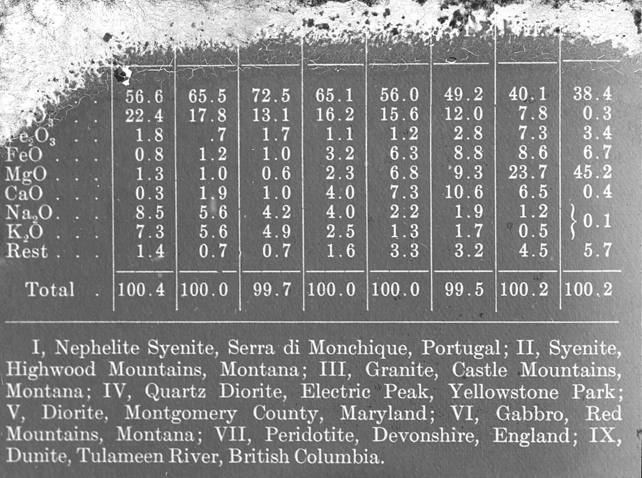
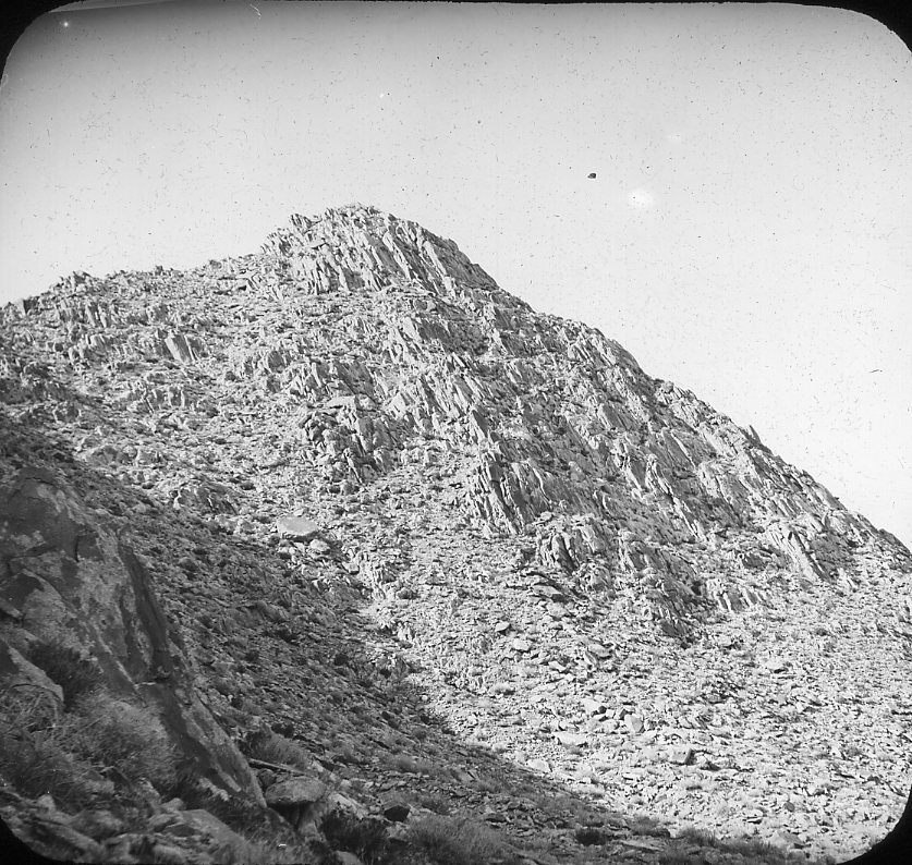
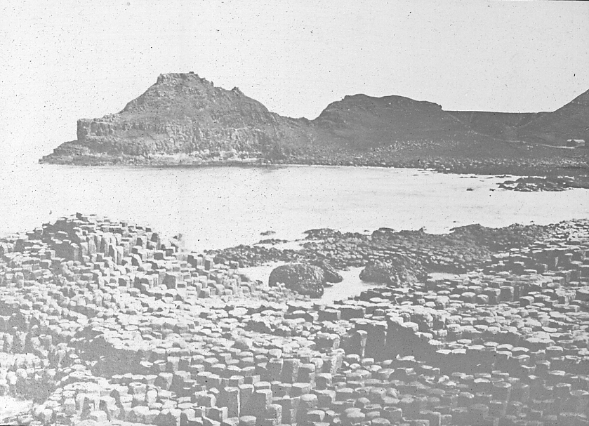
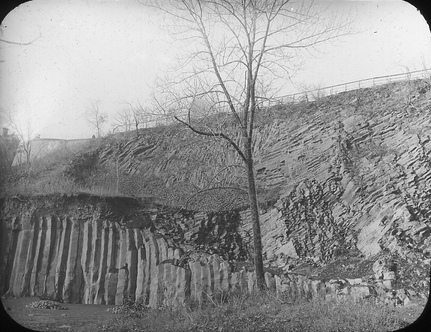
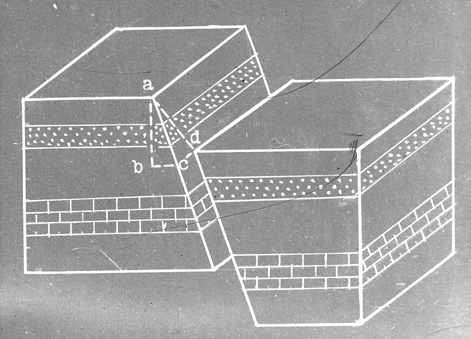
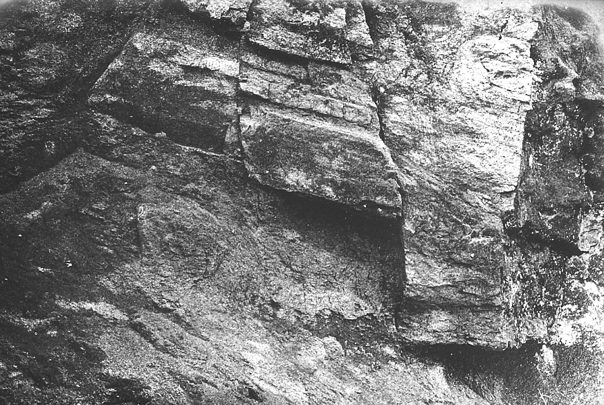
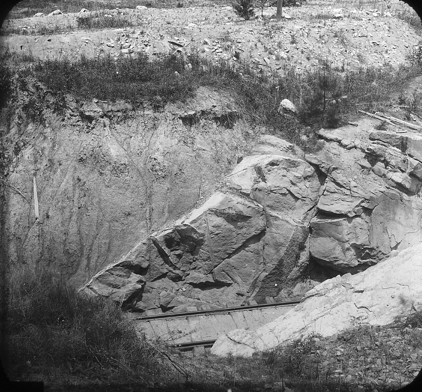
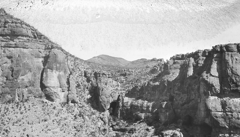
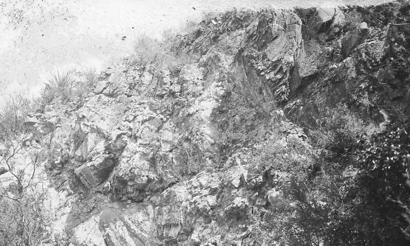
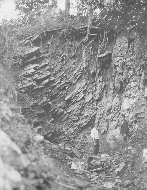
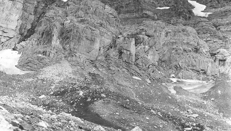
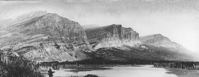
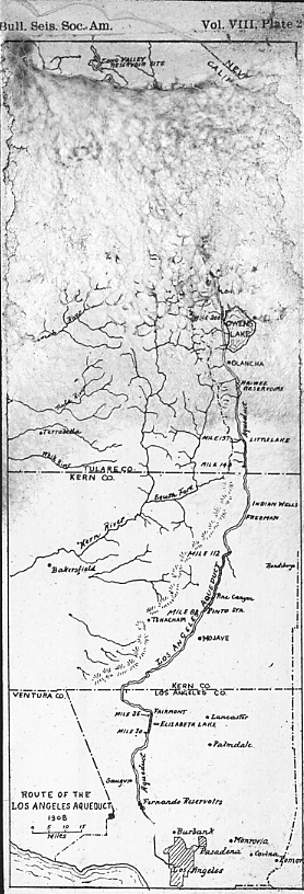
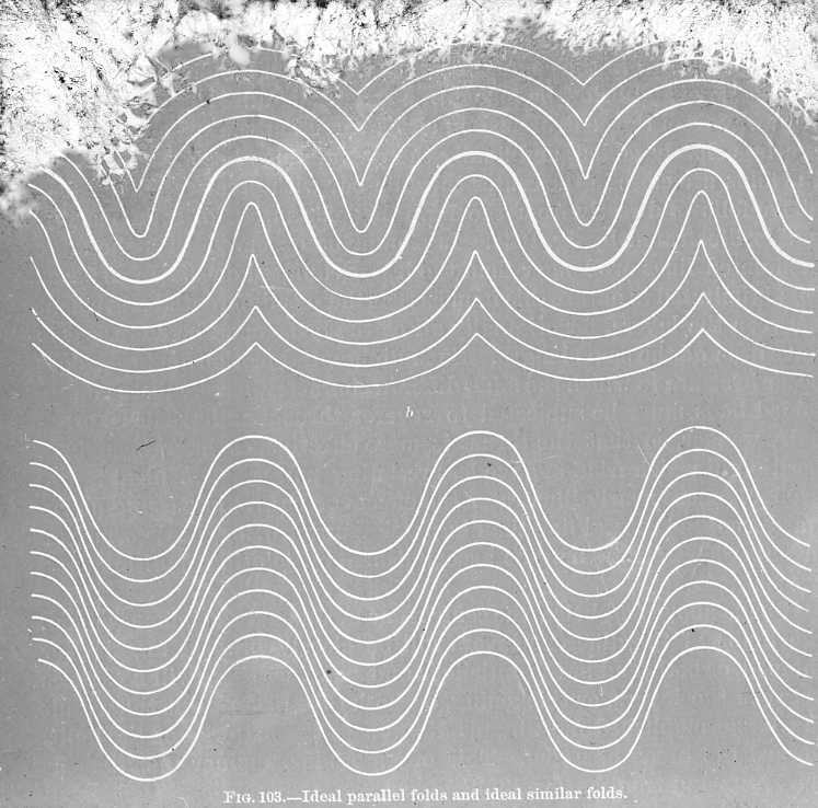
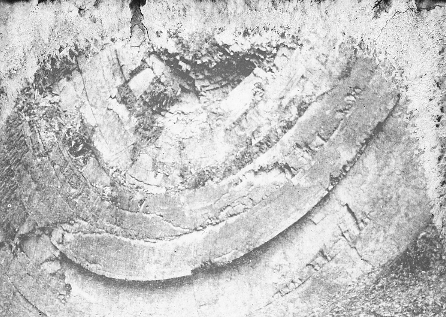
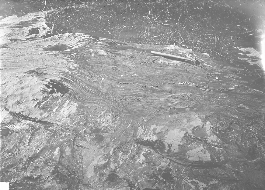
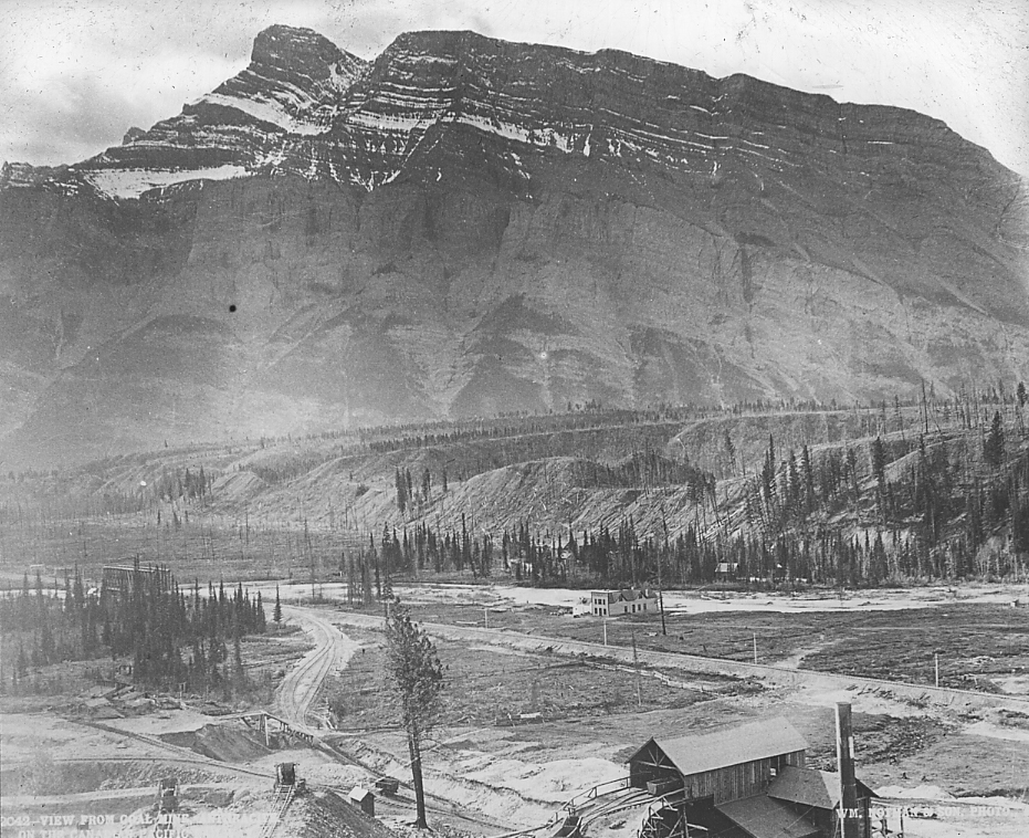
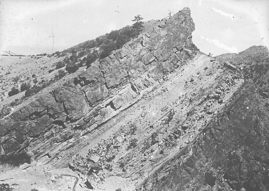
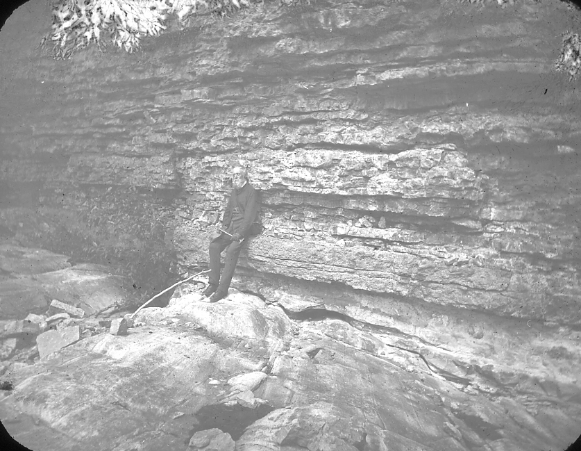
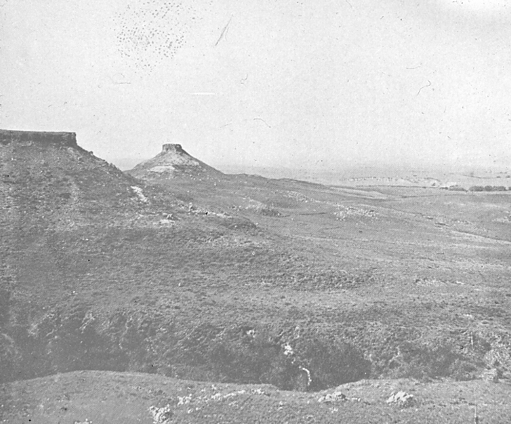
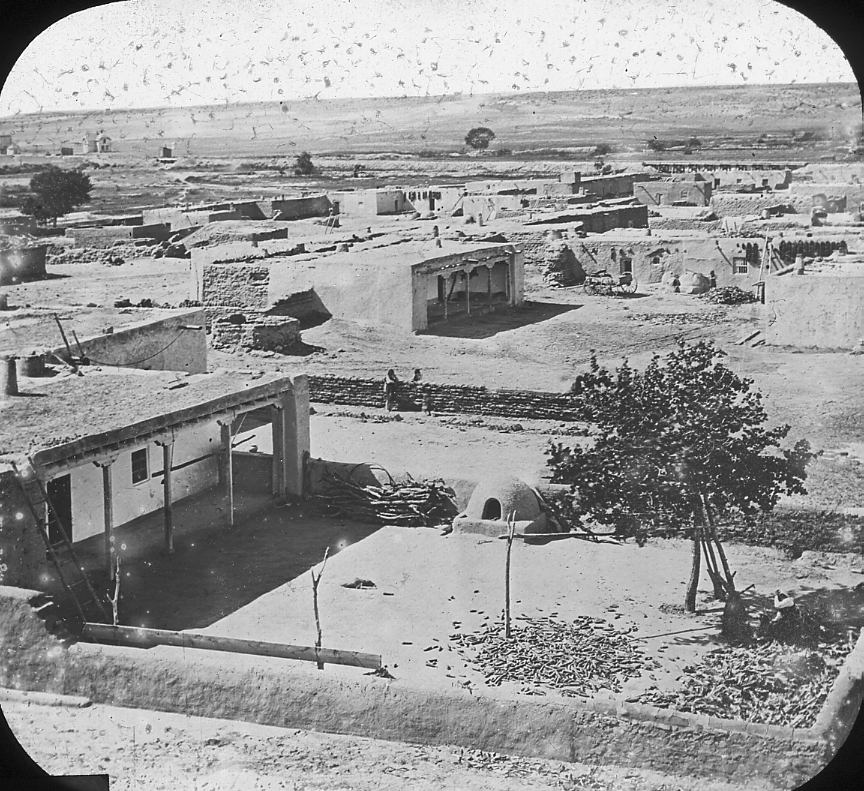
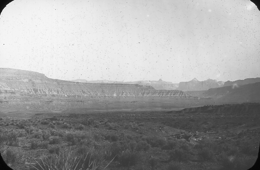
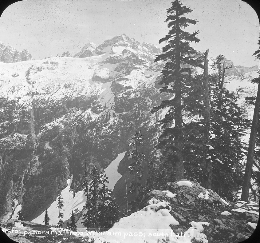
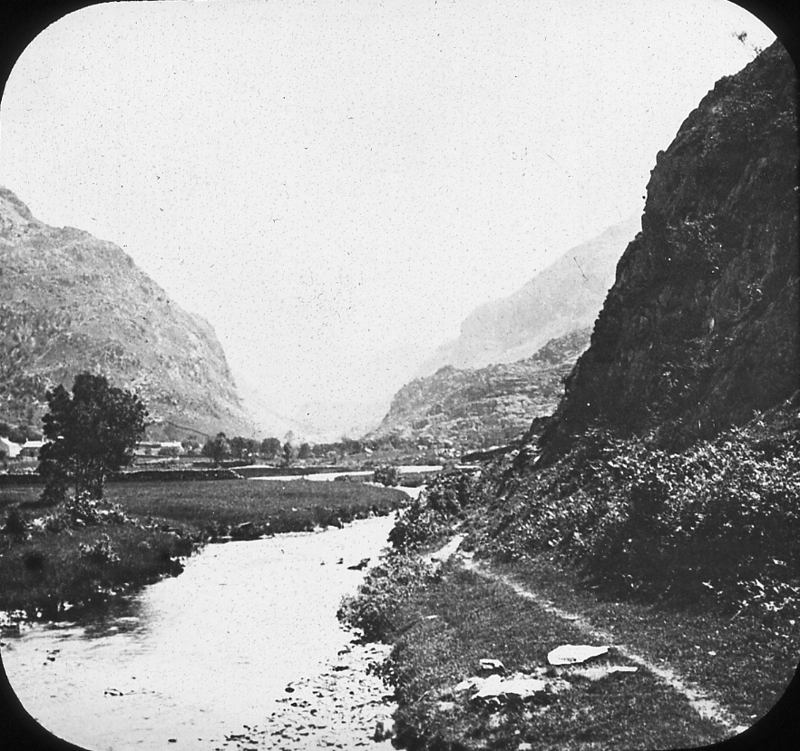
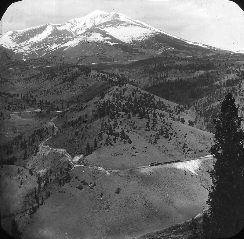
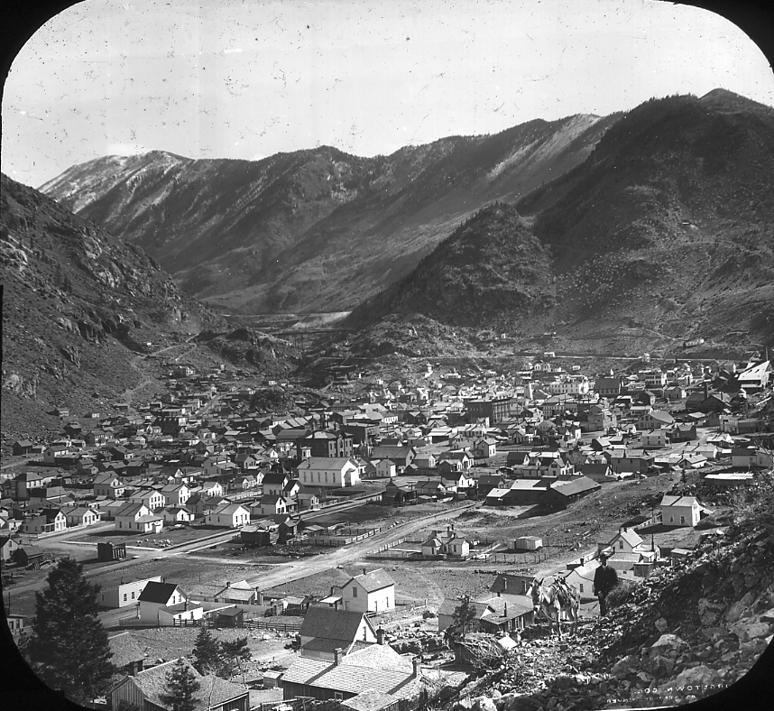
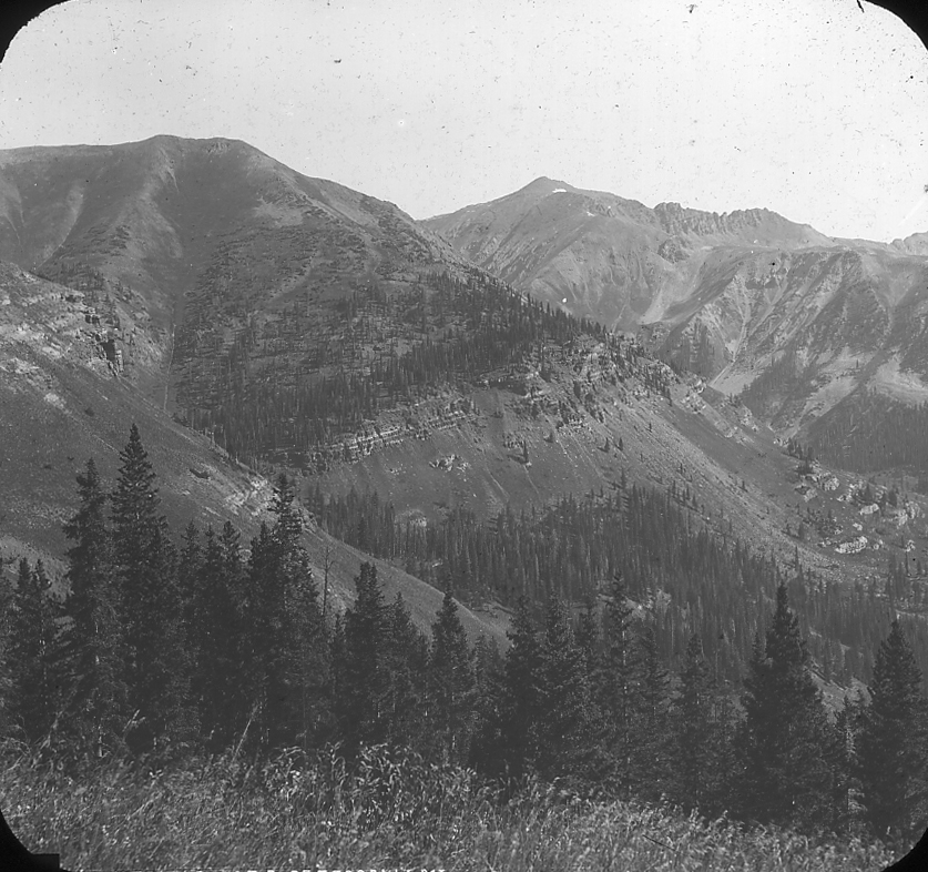
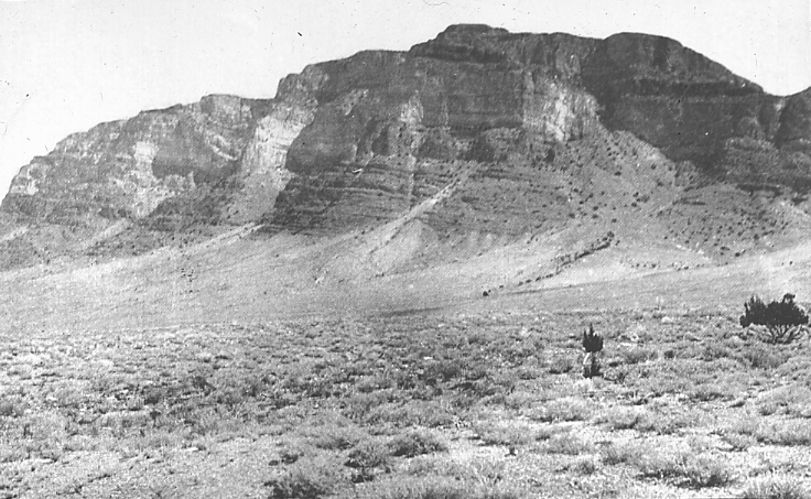
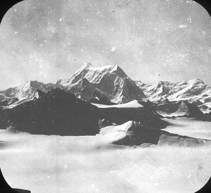
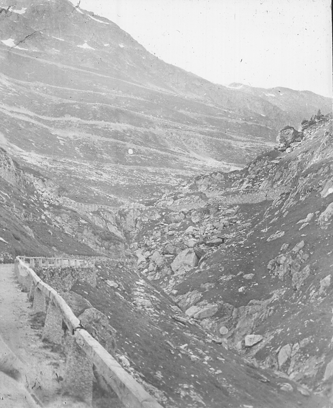
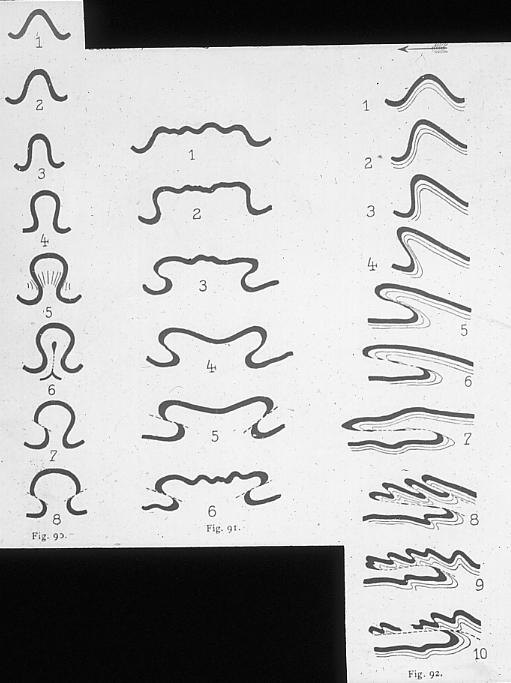
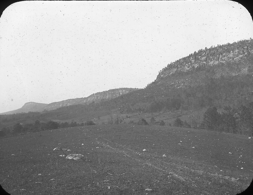
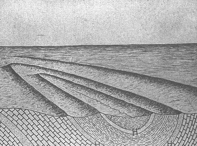
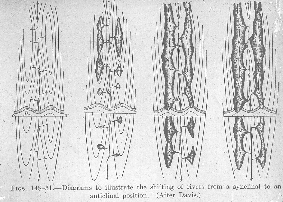
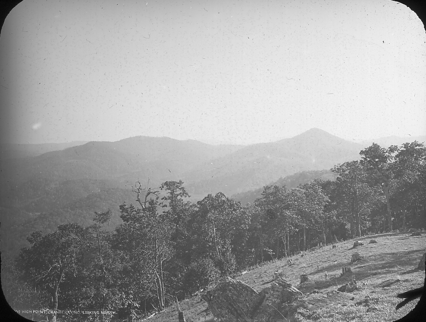
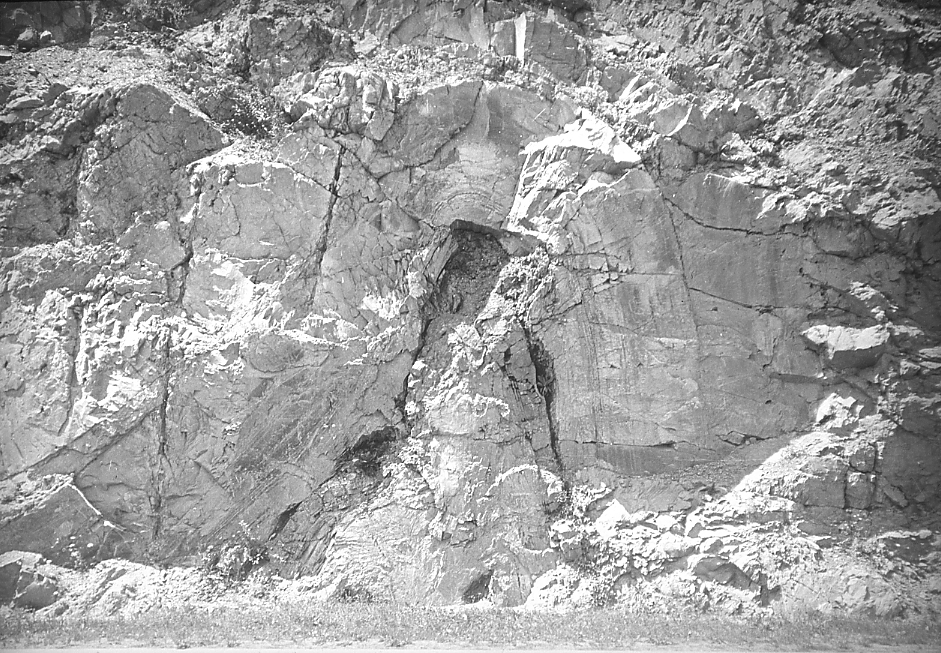
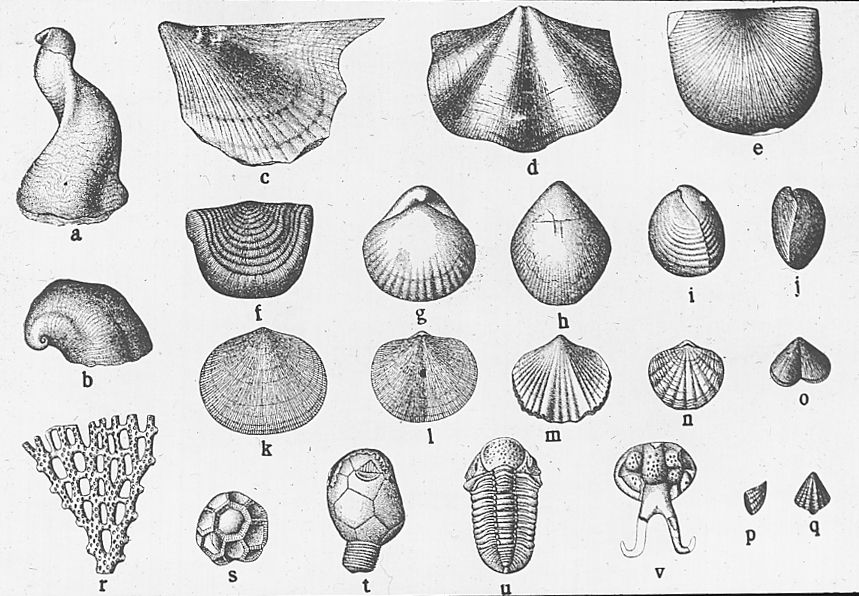
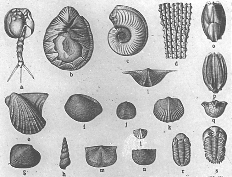
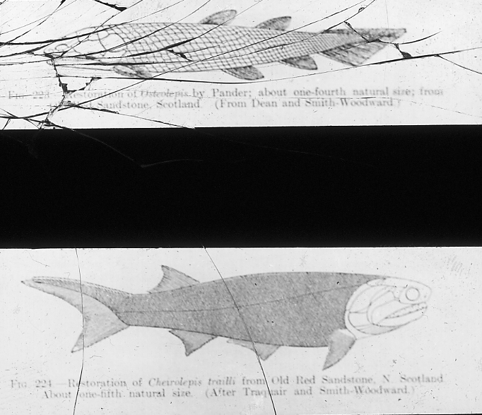
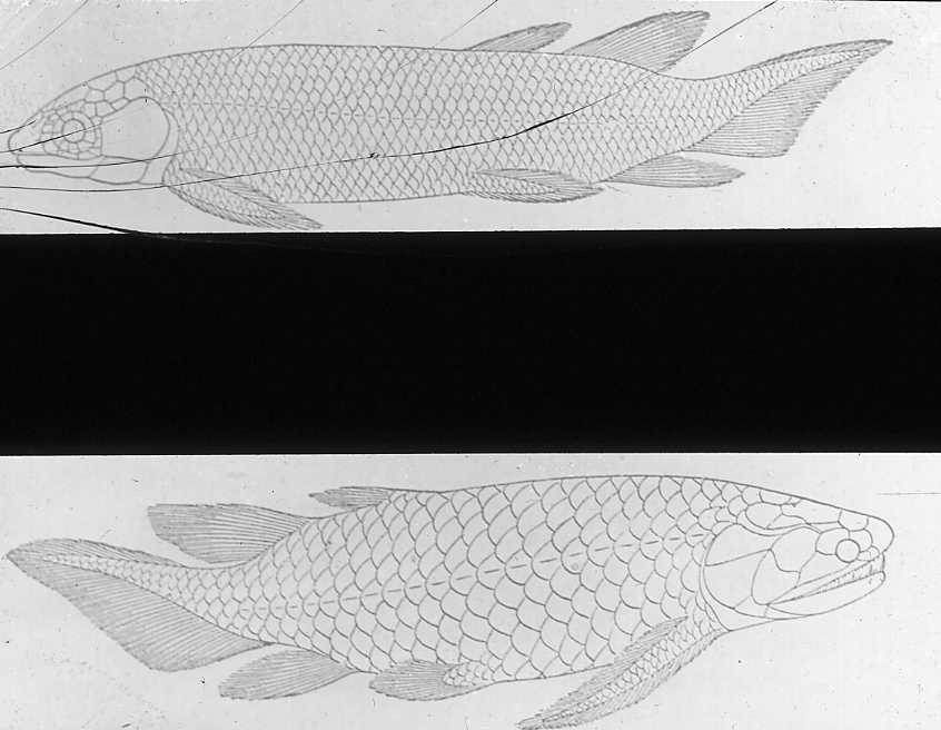
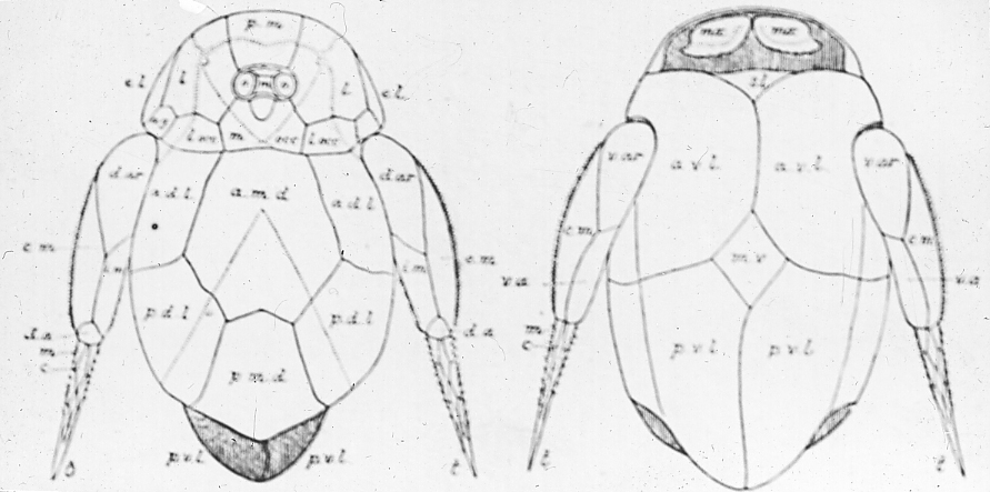
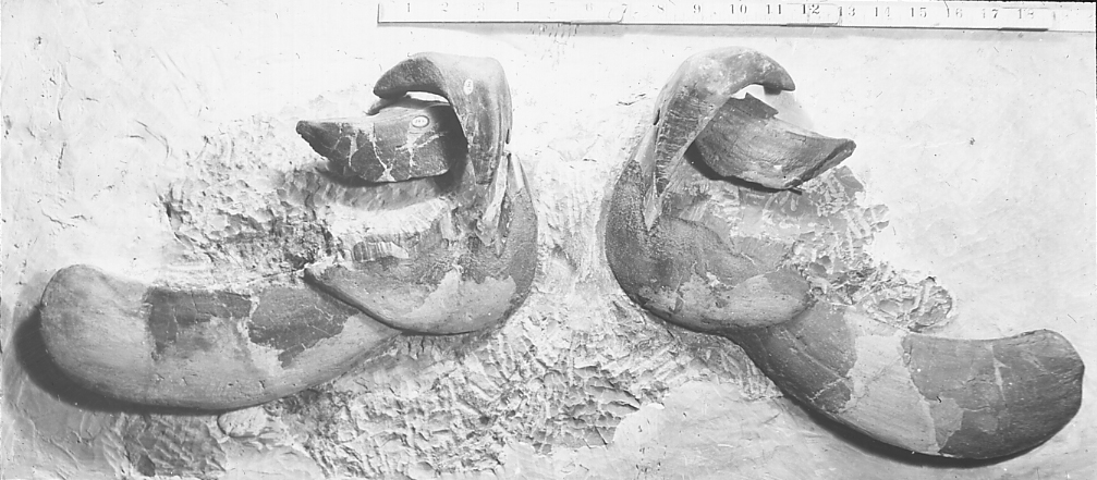
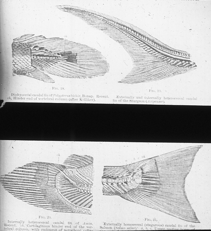
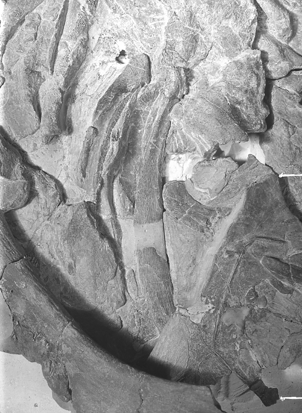
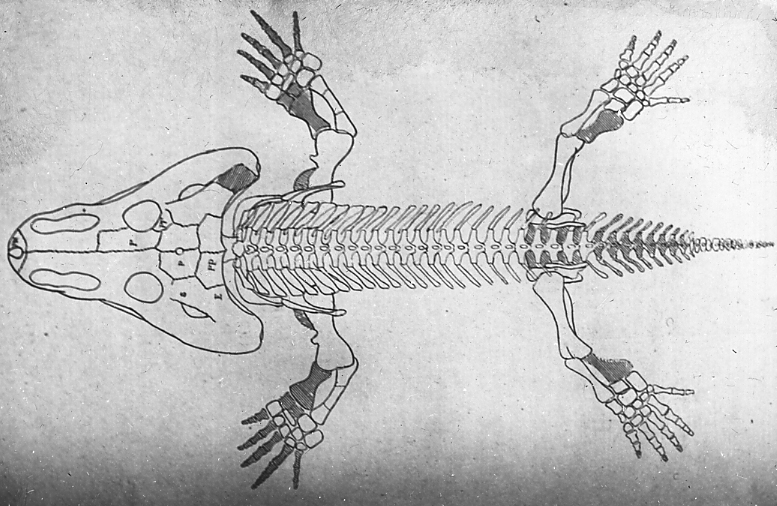
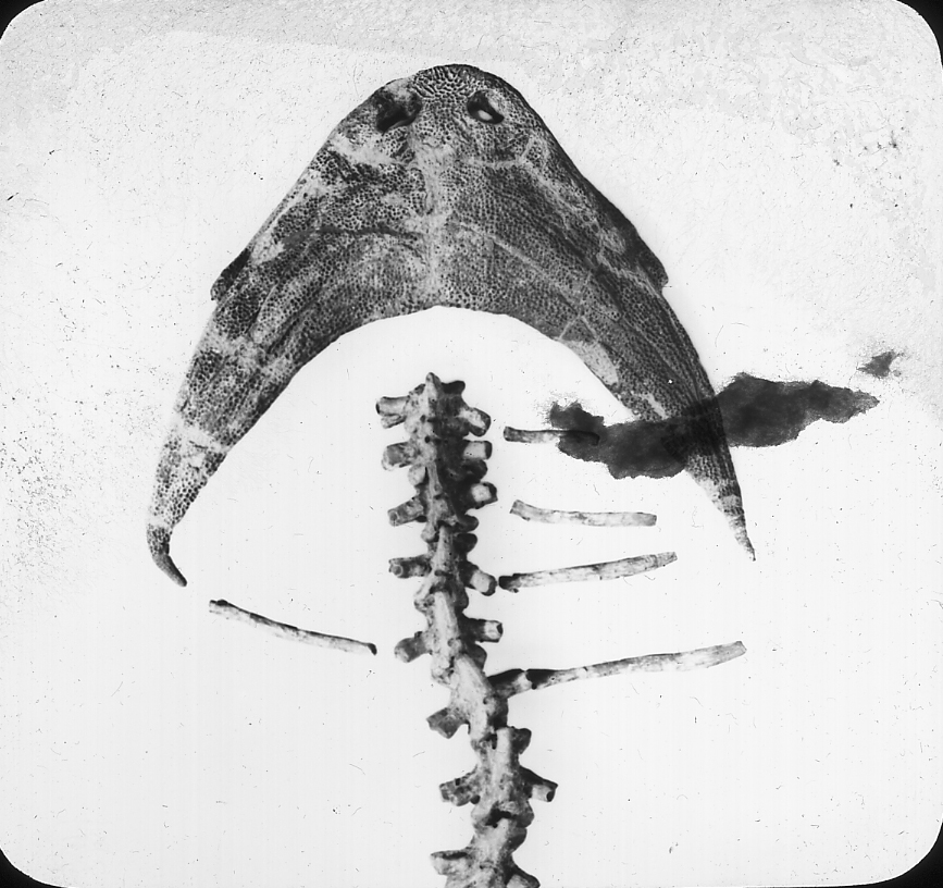
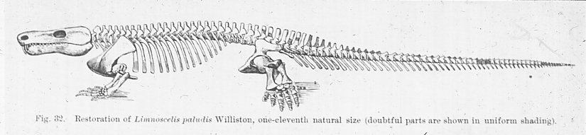
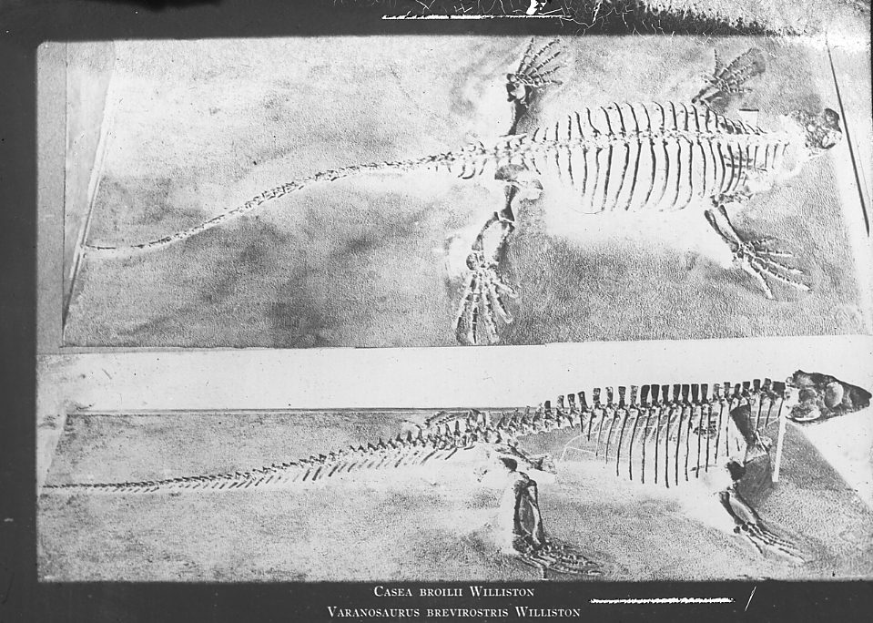
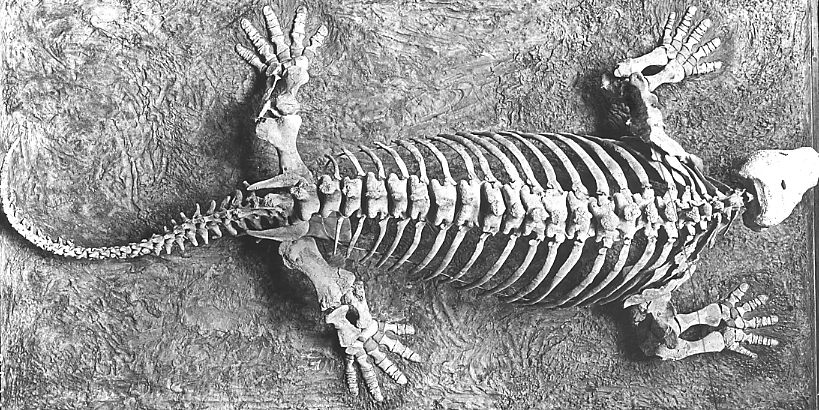
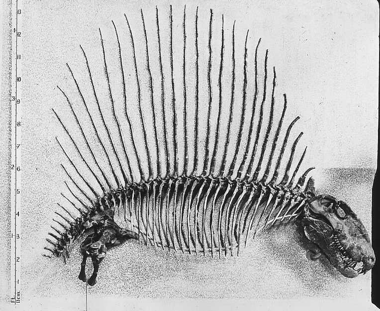
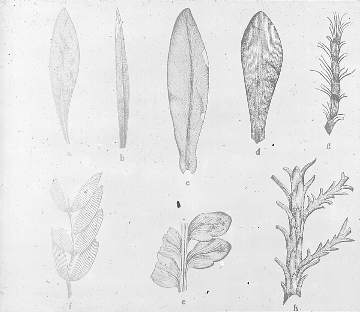
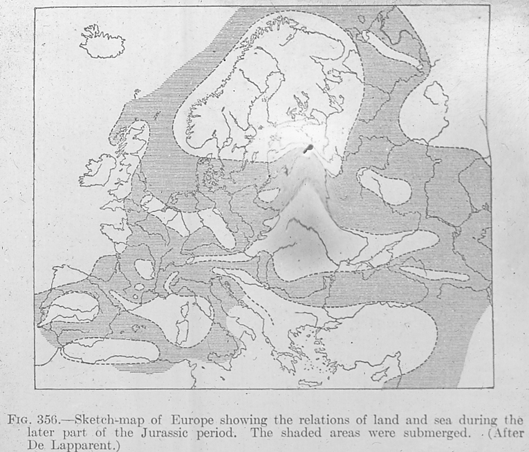
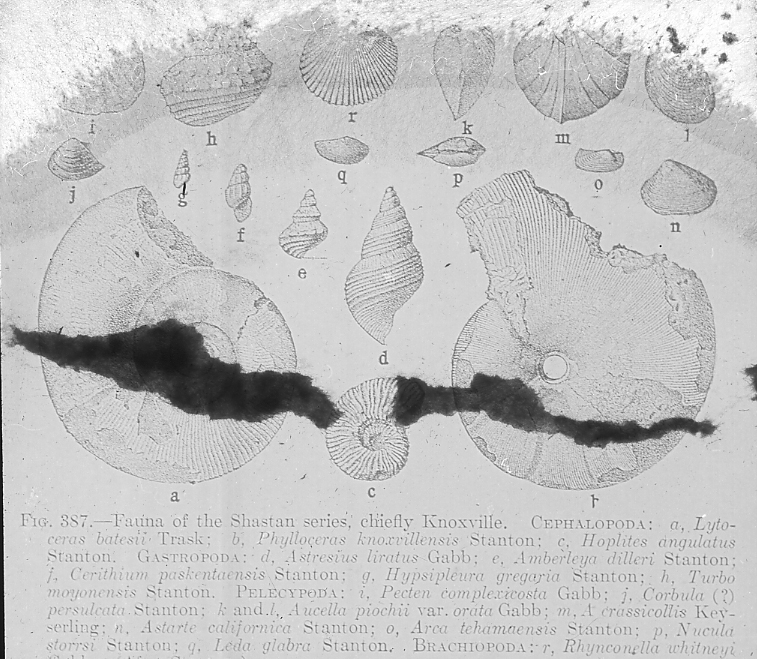
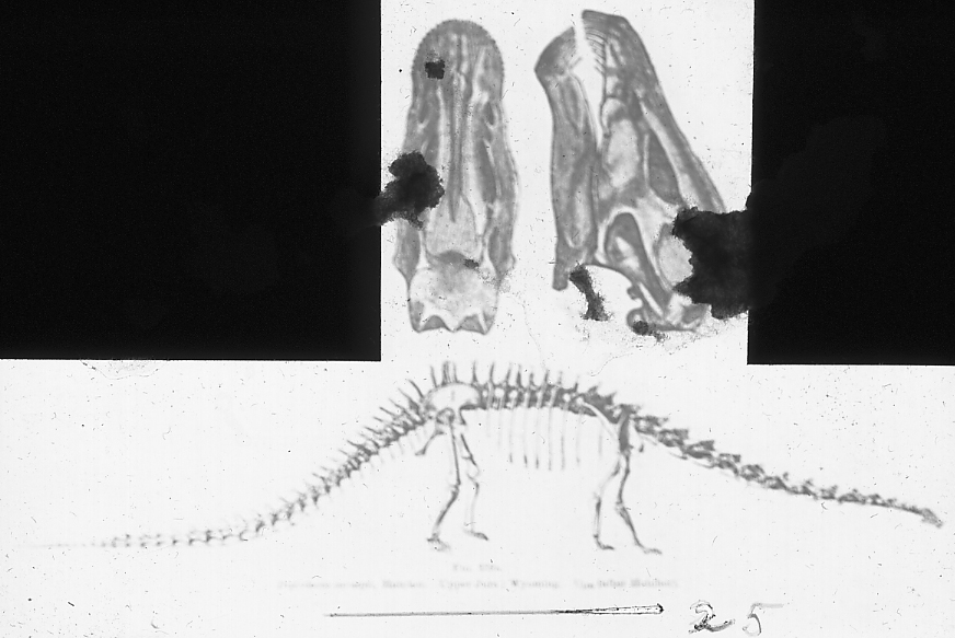
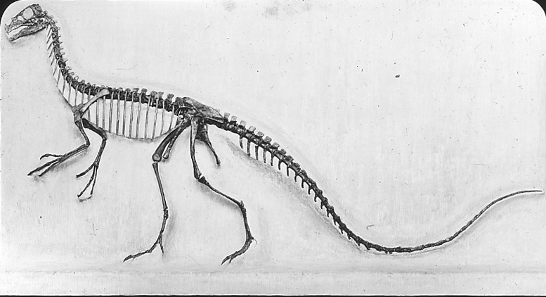
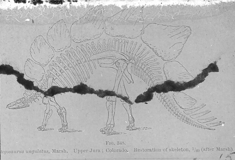
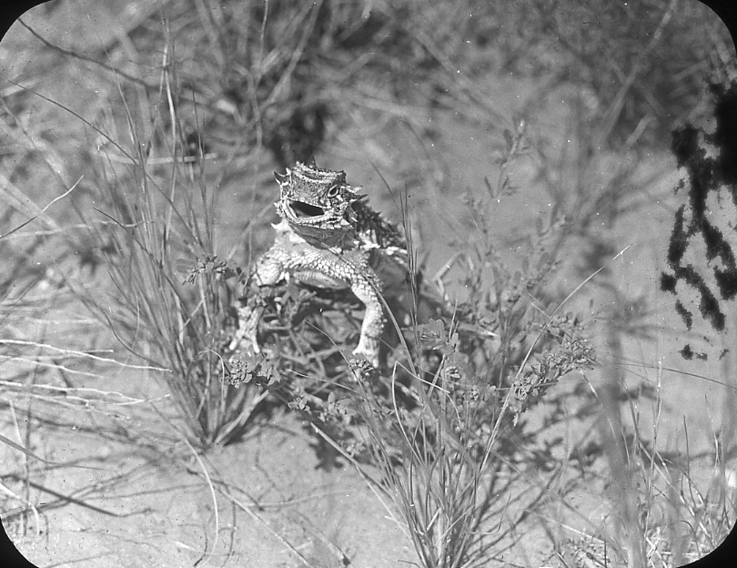
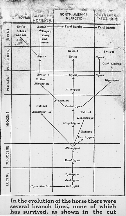
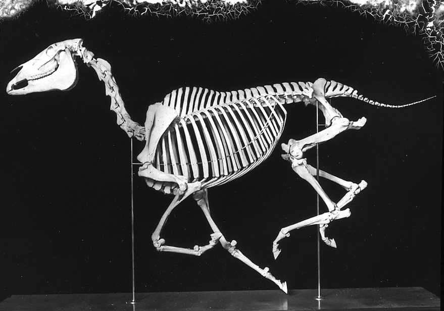
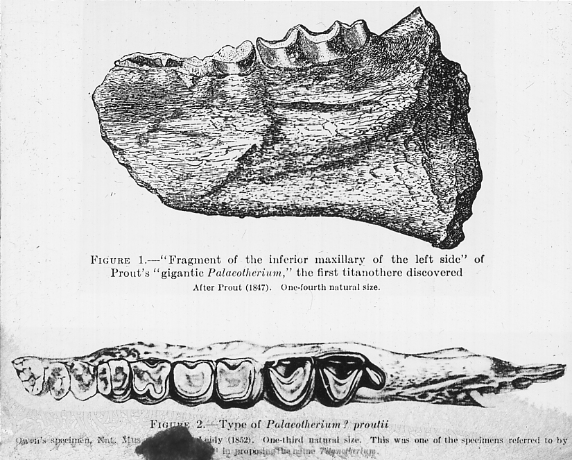
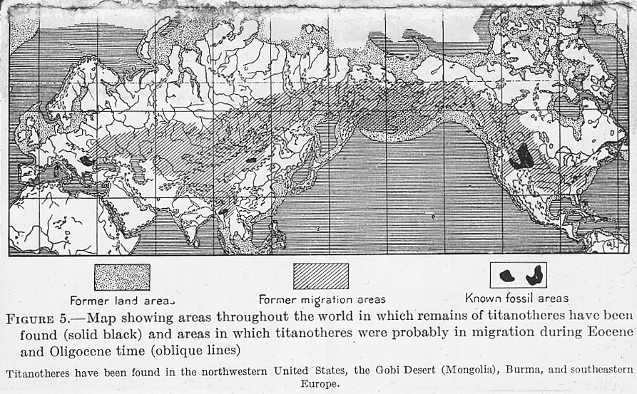
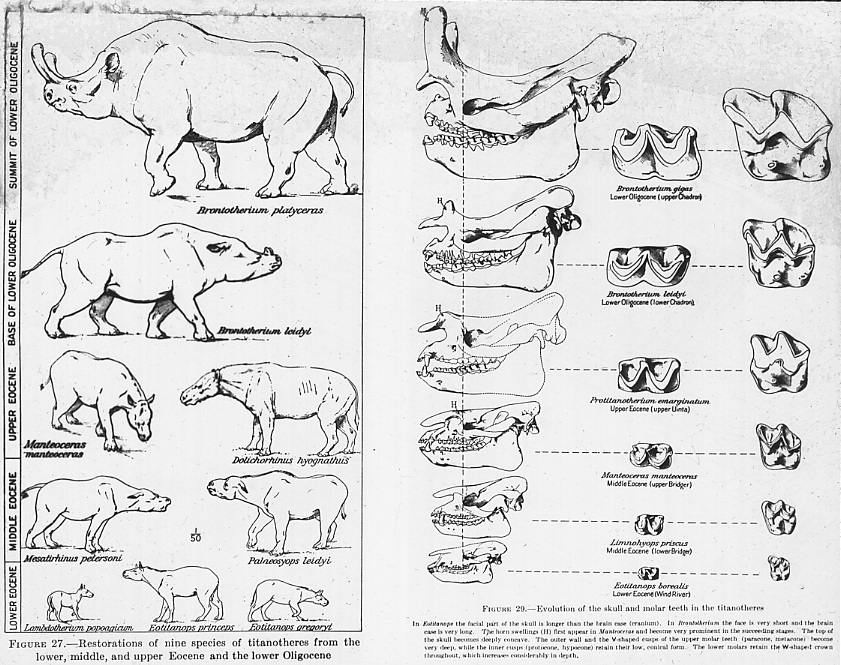
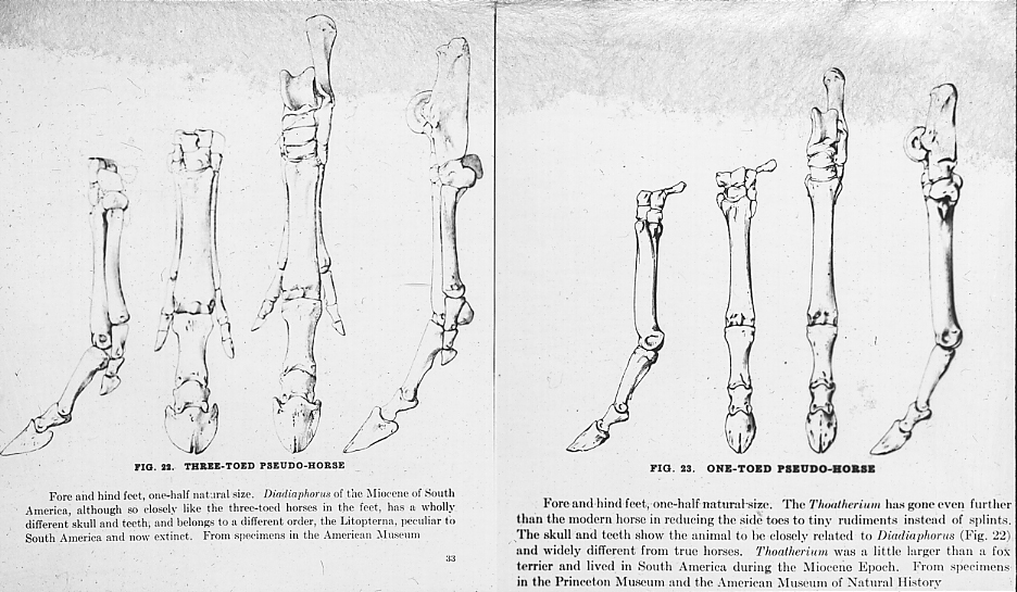
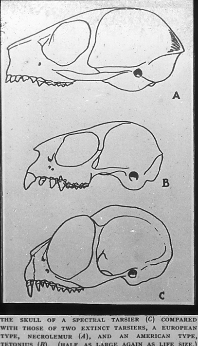
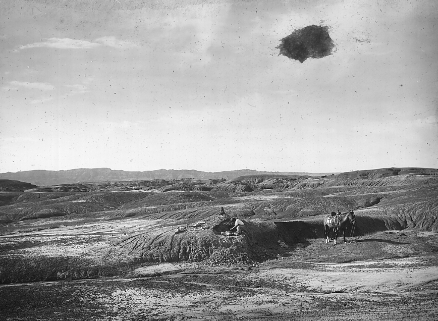
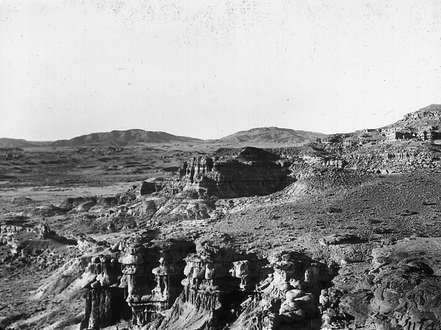
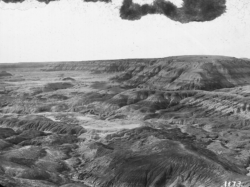
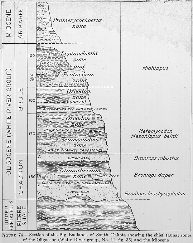
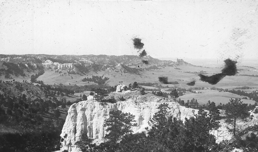
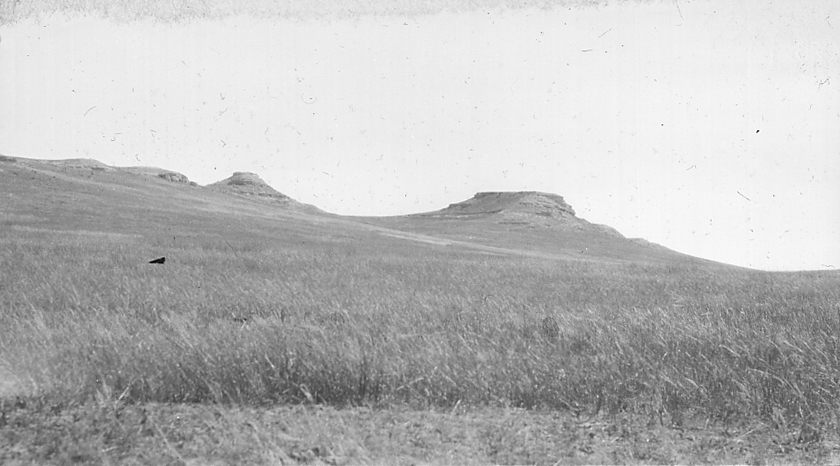
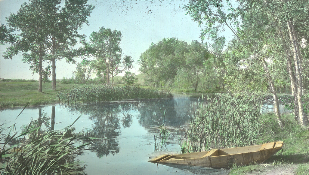
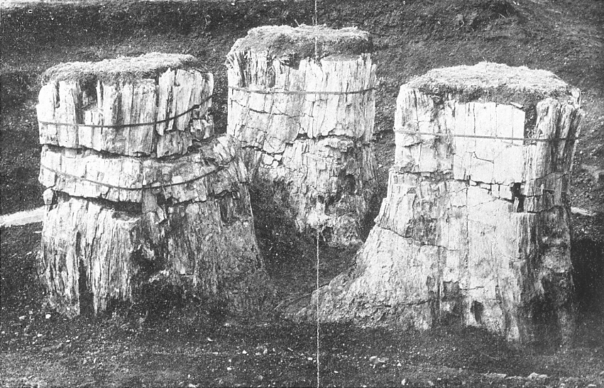
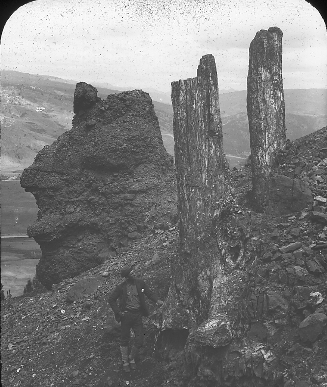
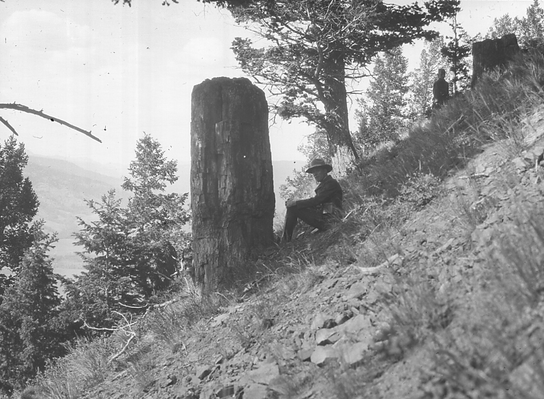
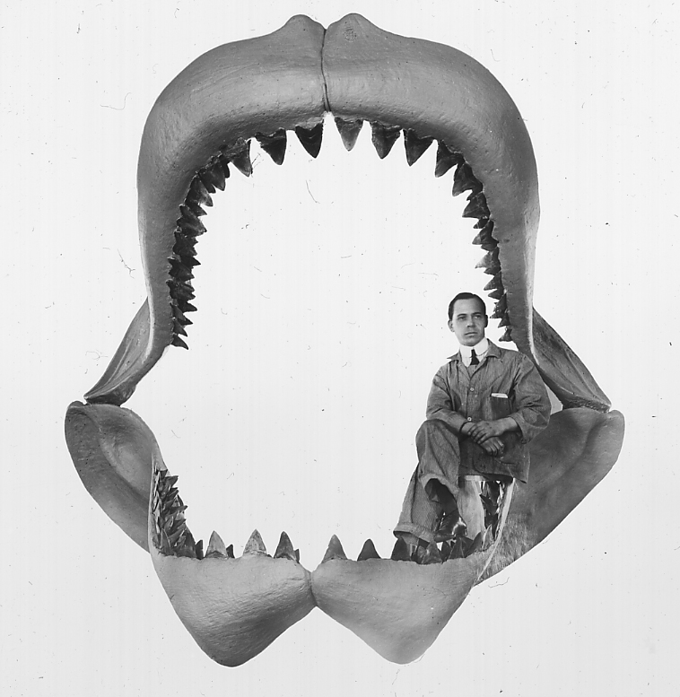
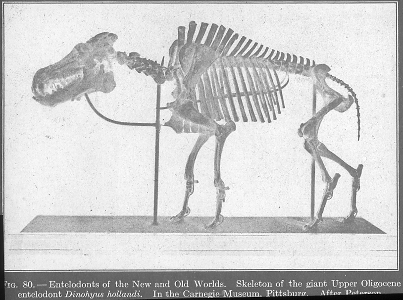
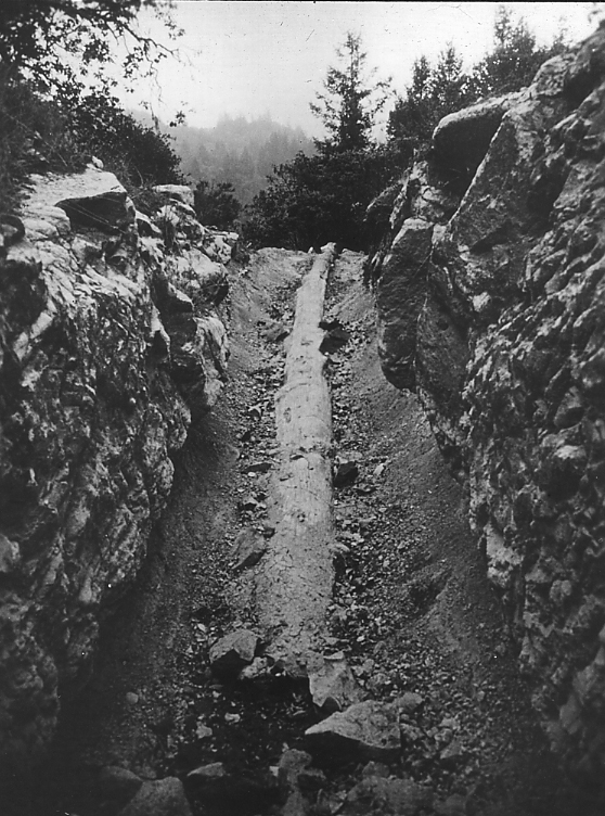
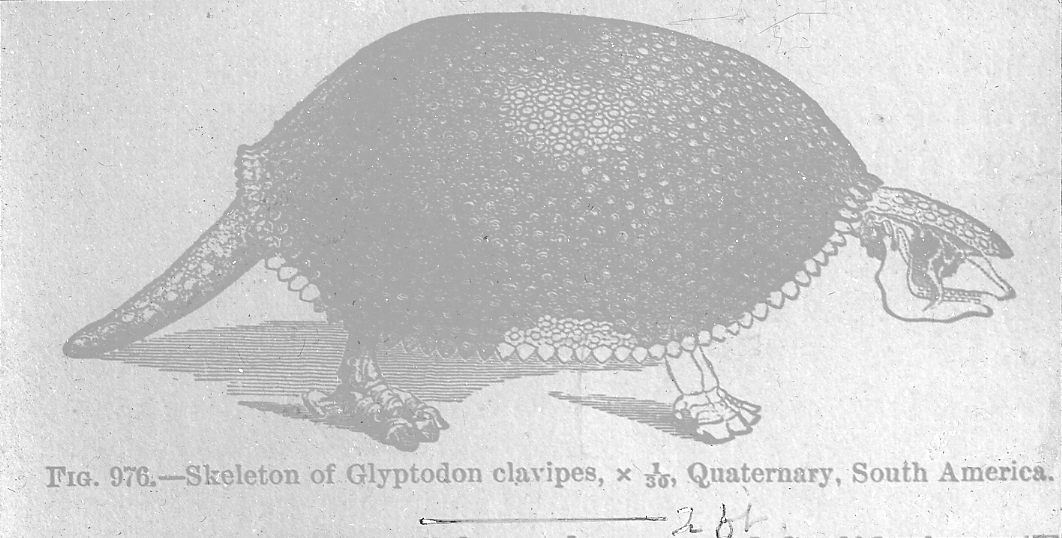
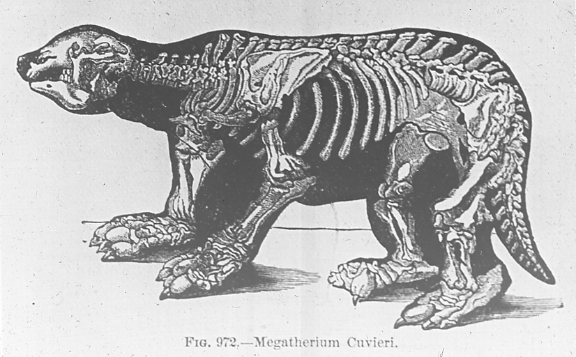
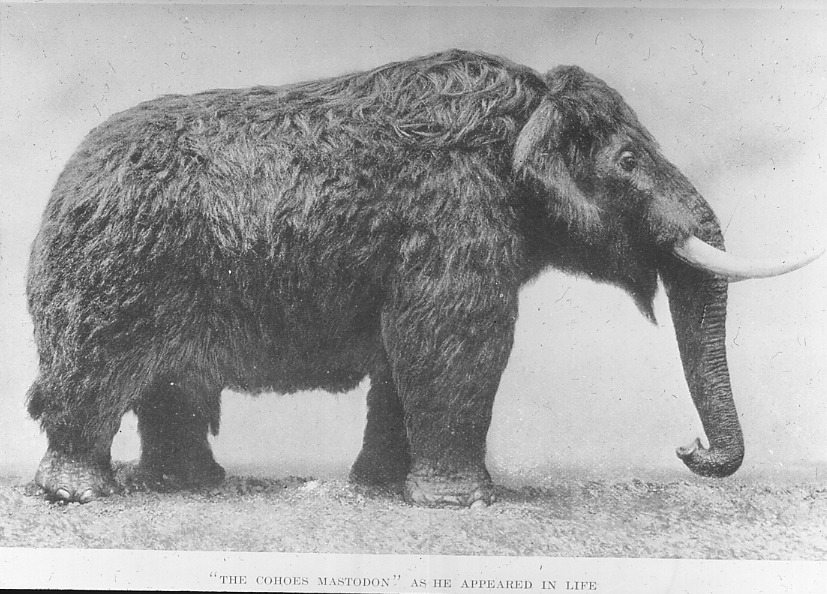
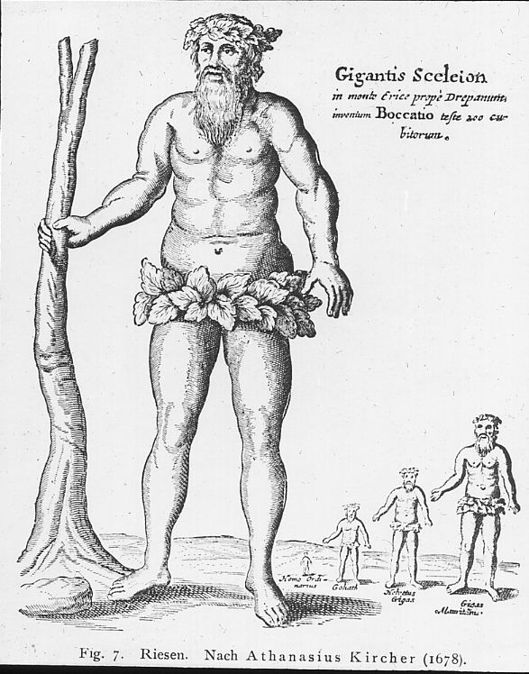
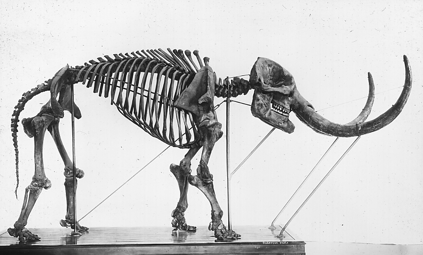
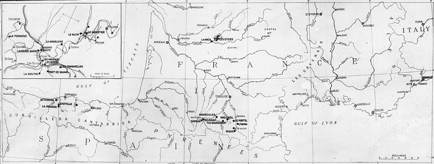
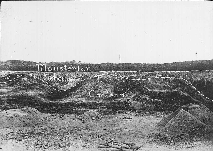
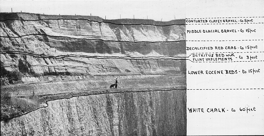
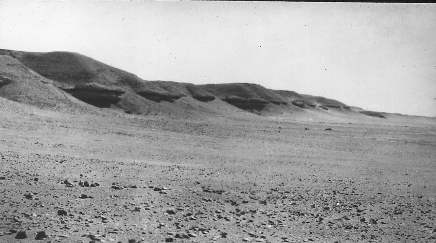
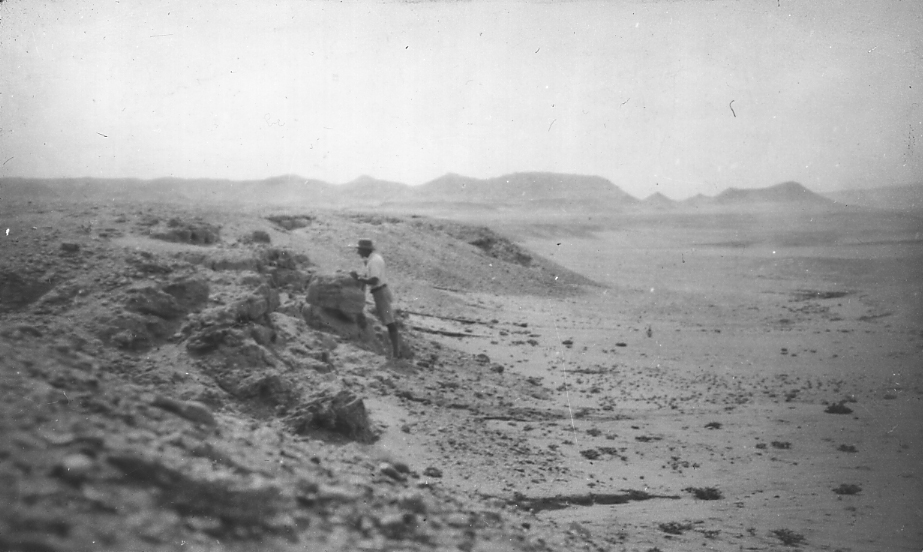
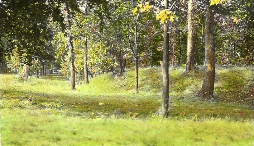
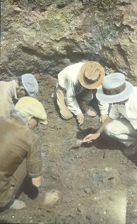
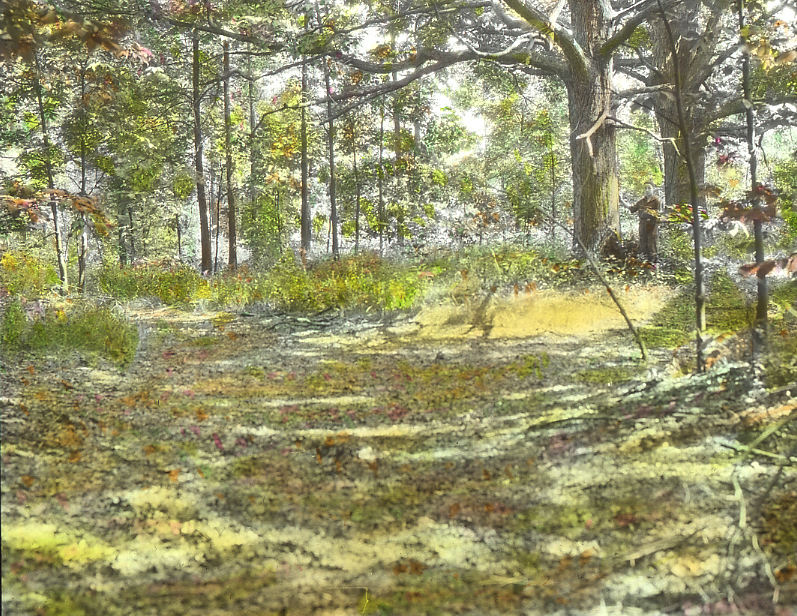
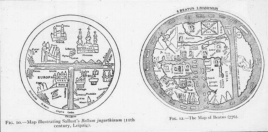
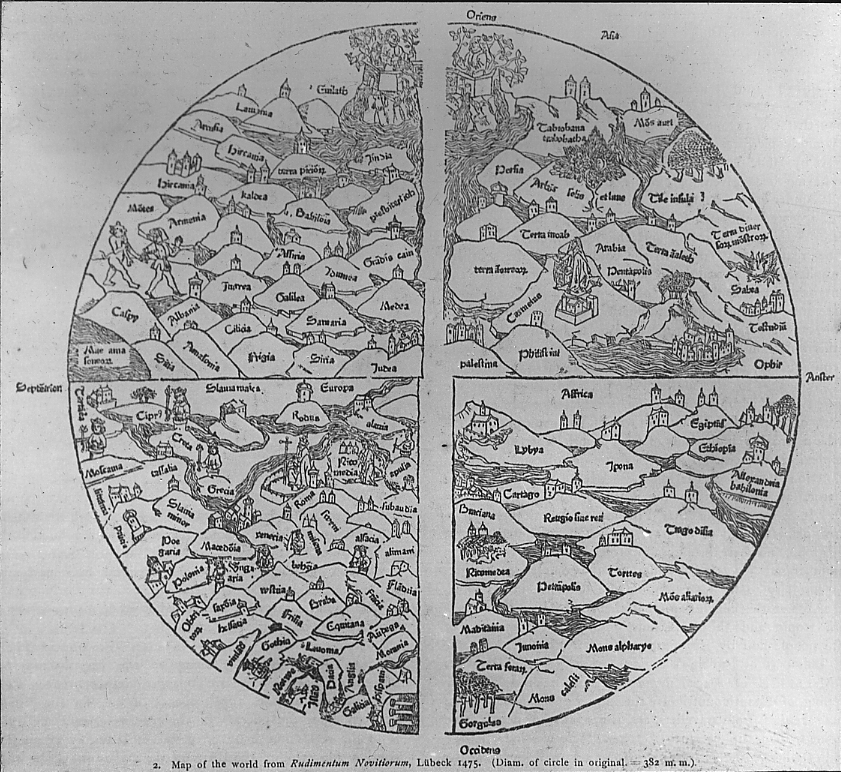
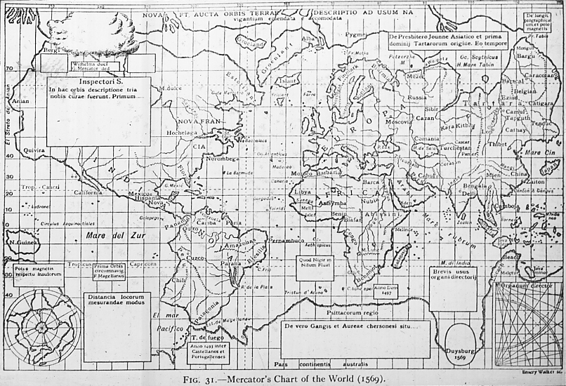
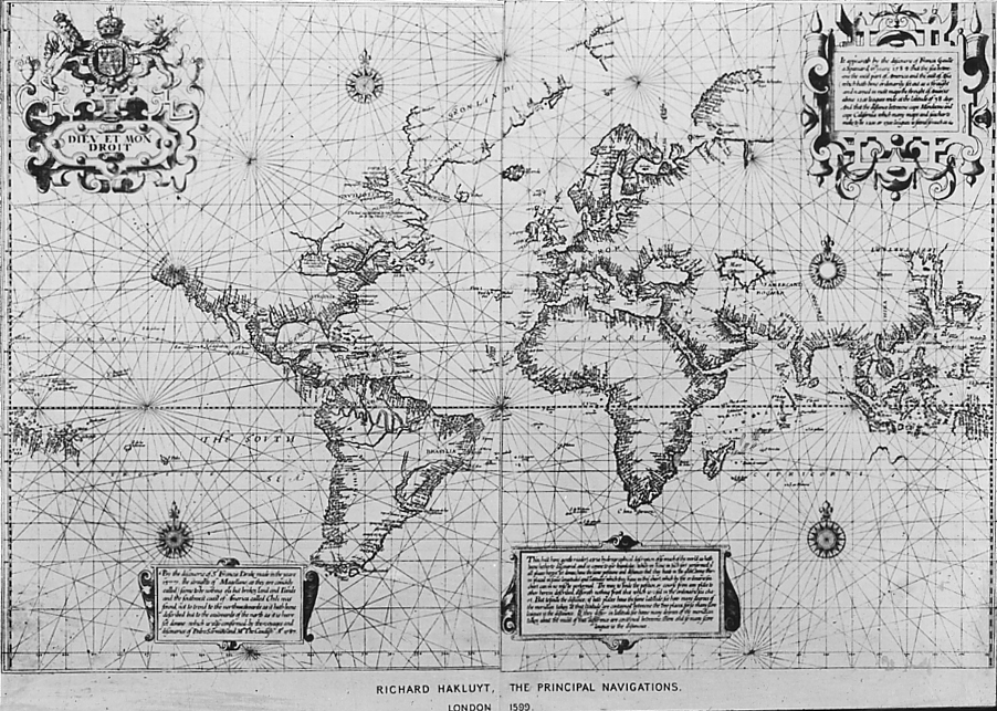
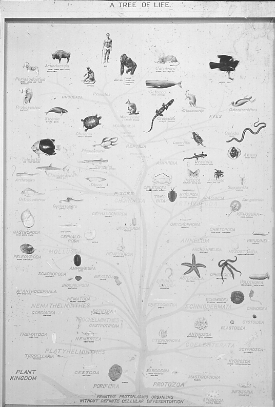
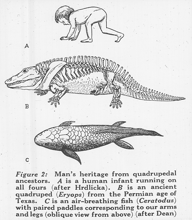
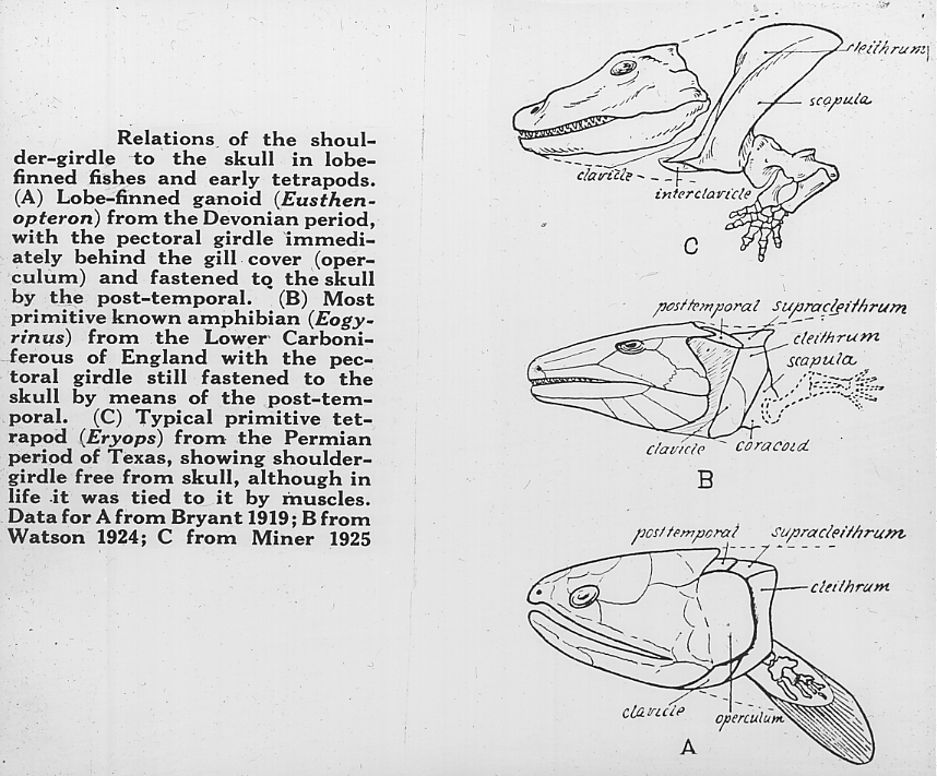
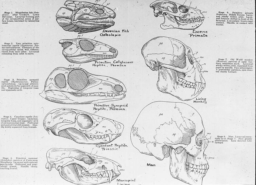
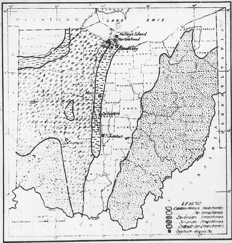
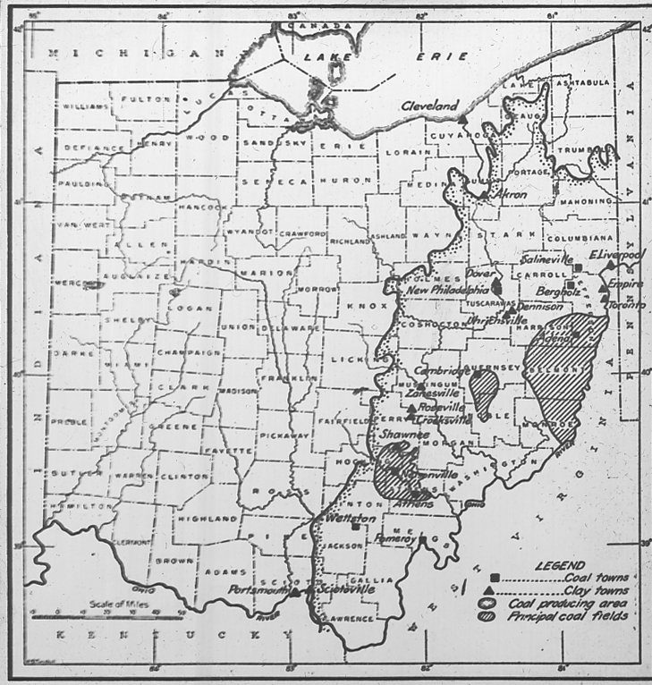
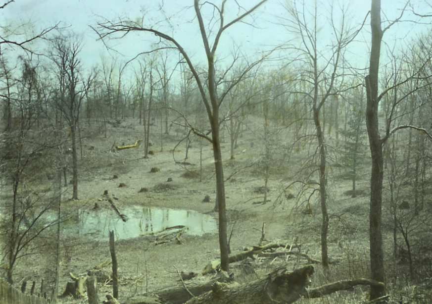
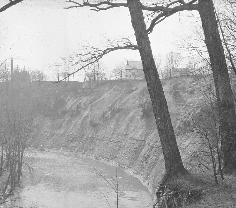
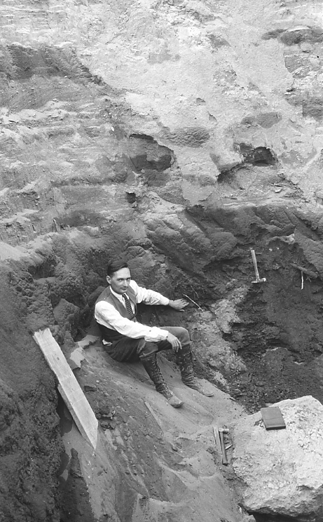